Pete's Walks - Shortened version of Ashridge Estate Boundary Trail (page 2 of 5)
If you are considering walking this route yourself, please see my disclaimer. You may also like to see these notes about the maps and GPX files.
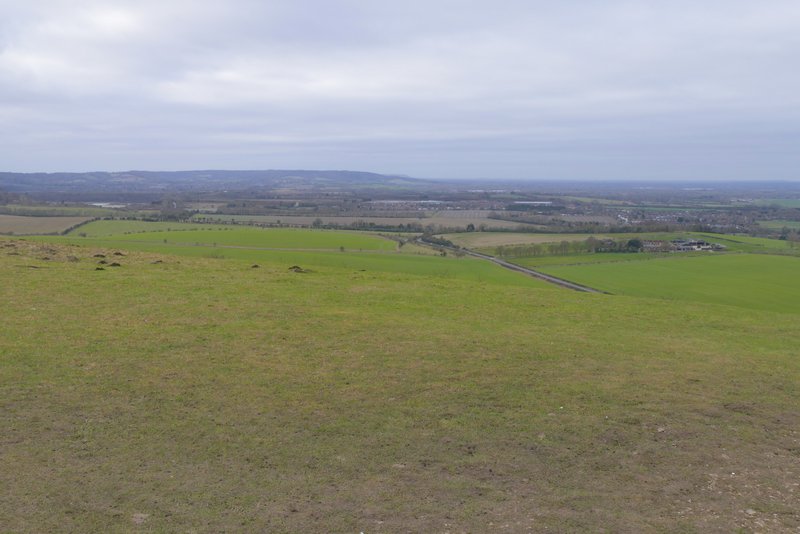
On the far side of The Coombe I went through a gate, the route then carrying straight on across an area of long grass for about a hundred yards before turning right at a waymark post. This path soon went through another gate, and continued along the right edge of a field of stubble. When the line of trees on my right ended (there was more storm damage here), the path carried on across the field to reach a hedge corner, where it continued beside the hedge on my right. I then turned left along a track heading to the lower end of Gallows Hill (where there is a prominent tumulus or burial mound). At the top of this slope, I turned left and made my way to the top of Gallows Hill. While walking through The Combe I noticed that it had become quite windy, and it very noticeable now. I then continued along a grassy ridge, with views over The Vale of Aylesbury on my right, to reach the top of Ivinghoe Beacon.
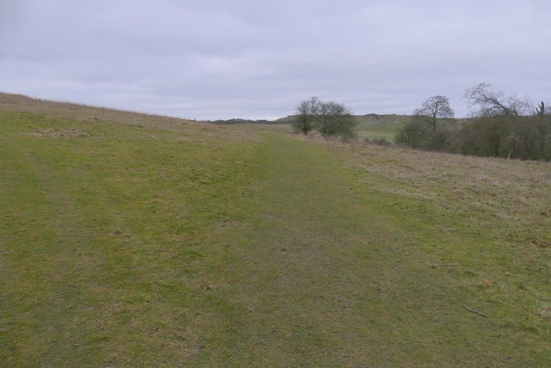
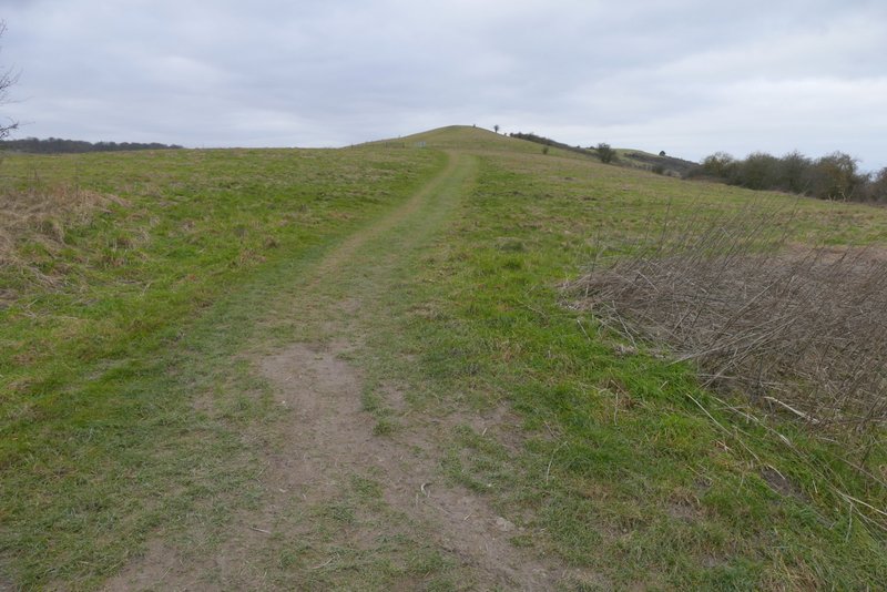
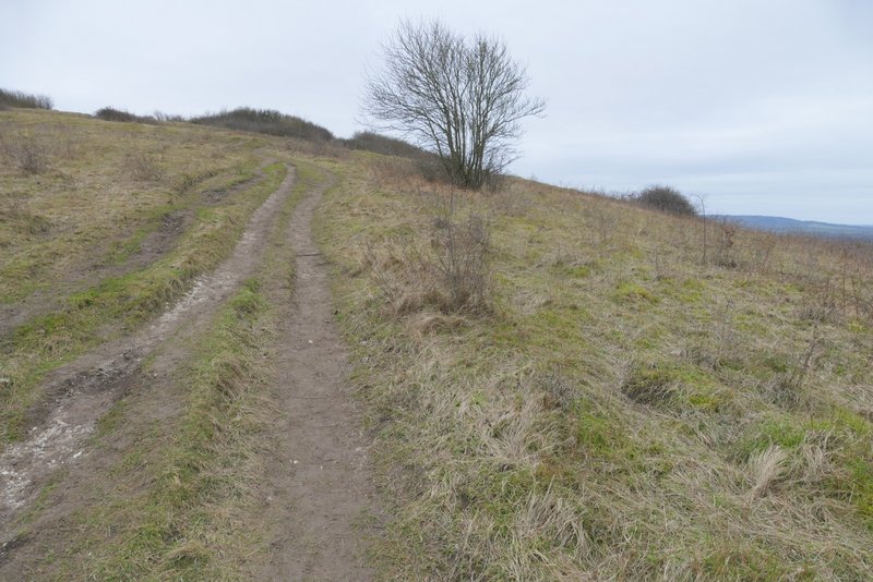
The path after it leaves The Combe - it turns right at a waymark post, to a gate by the trees in the centre of this shot
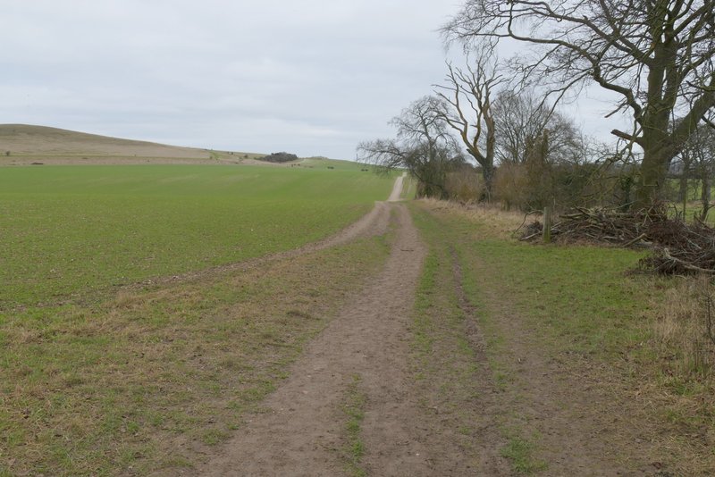
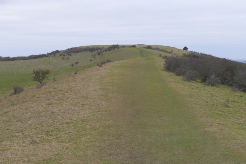
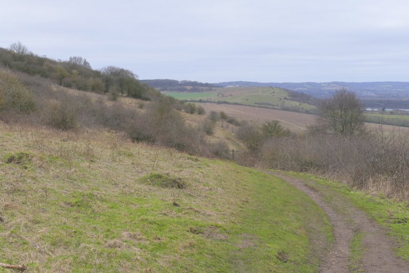
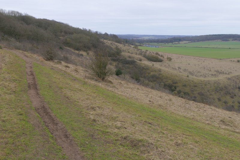
The chalky path running parallel to the ridge from Beacon Hill to Gallows Hill
The chalky path running parallel to the ridge from Beacon Hill to Gallows Hill
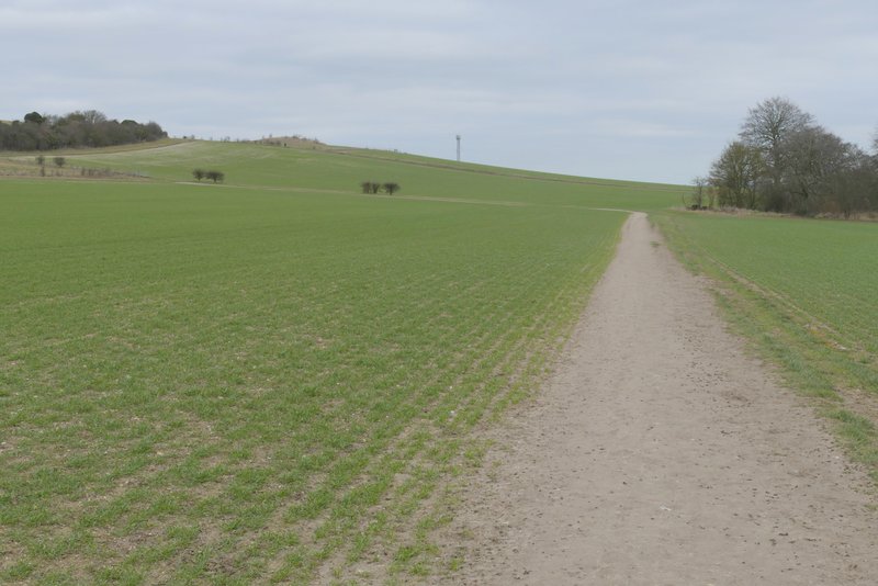
The path up Gallows Hill after I turned left
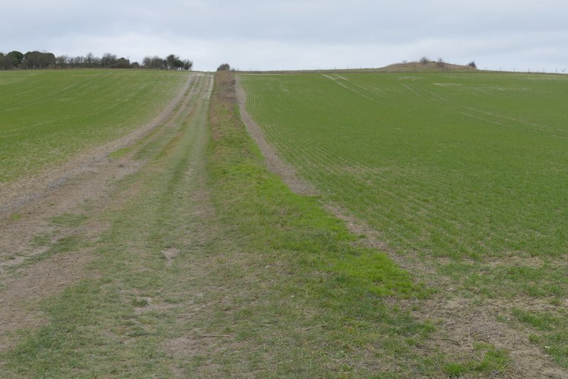
The path up Gallows Hill, from where I turned left again, by the tumulus
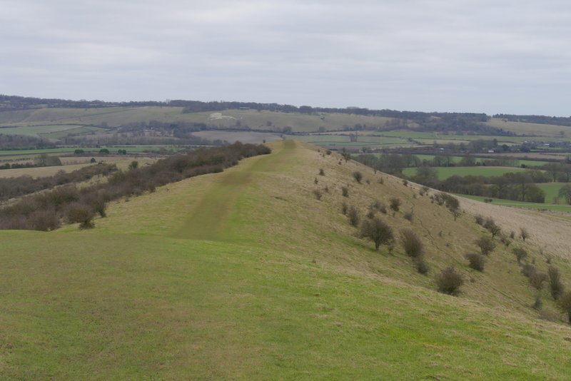
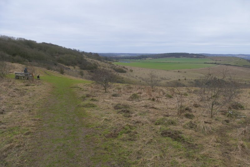
The path along the ridge from Gallows Hill to Ivinghoe Beacon
View back along the ridge towards Whipsnade Downs
Zoomed-in view of Dunstable Downs from Ivinghoe Beacon
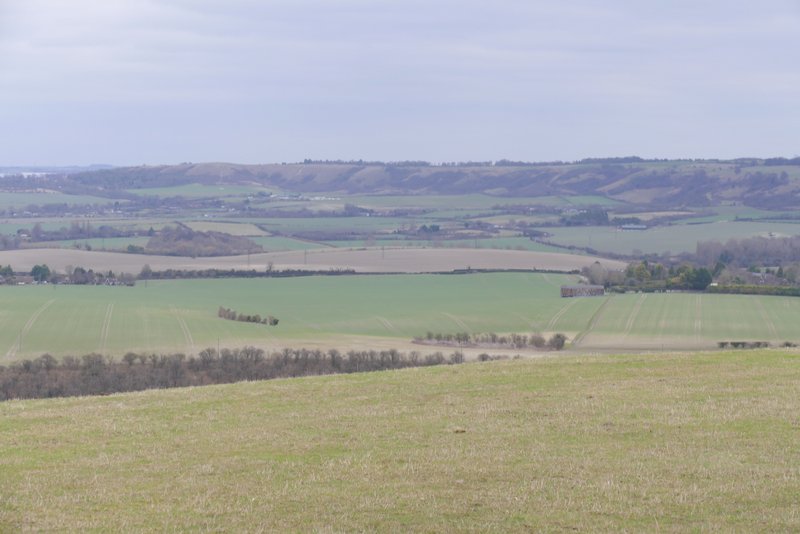
View over the Vale of Aylesbury from Ivinghoe Beacon
Due to the strong and quite chilly wind, I just hurriedly took a few photos and then turned left to follow a path down Ivinghoe Beacon - I usually take a slight detour from the Ashridge Estate Boundary Trail here by going over the two small hillocks, but I didn't bother today and just folowed the path until it reached a road. Soon after crossing the road, I took a path that forked slightly right, just behind a tree - a white acorn sign showed The Ridgeway went the same way. I misremembered this part of the route and almost went straight on (I did make that mistake the last time I did this route). The path rose gently up a scrub-covered slope, then dropped slightly to a gate. Through the gate I turned left (the Ridgeway goes the same way) and followed a fence on my left uphill. The path then passed through a small area of trees and bushes before emerging on the top of Steps Hill. By a gate at a fence corner, I joined a chalky track and started to descend, soon turning right with the steep-sided valley of Incombe Hole on my right. On reaching a path crossroads by a field corner, I turned left from The Ridgeway and followed a path beside a fence on my right. After a while the path left the fence, and started uphill through some bushes. Over a stile, it followed a track up the now wooded slope, soon turning half-right, to reach the main track from near Ivinghoe Beacon to the Bridgewater Monument in the centre of Ashridge.
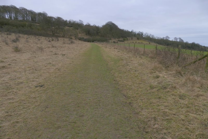
The path on Steps Hill
The path on Steps Hill, it turns left after the gate

The path on Steps Hill
The same path now on top of Steps Hill
The same path now on top of Steps Hill
The path after I turned left from the Ridgeway path
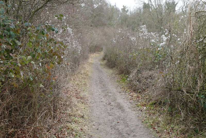
The path after I turned left from the Ridgeway path, where it goes through some bushes