Pete's Walks - Bledlow, Rout's Green, Lodge Hill (page 1 of 3)
If you are considering walking this route yourself, please see my disclaimer. You may also like to see these notes about the maps and GPX files.
I did this circular walk (actually more of a long thin rectangle) of about 5.5 miles on Wednesday, 24th April 2024. It was a repeat of a walk I did in February 2022
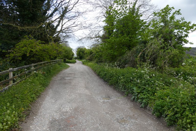
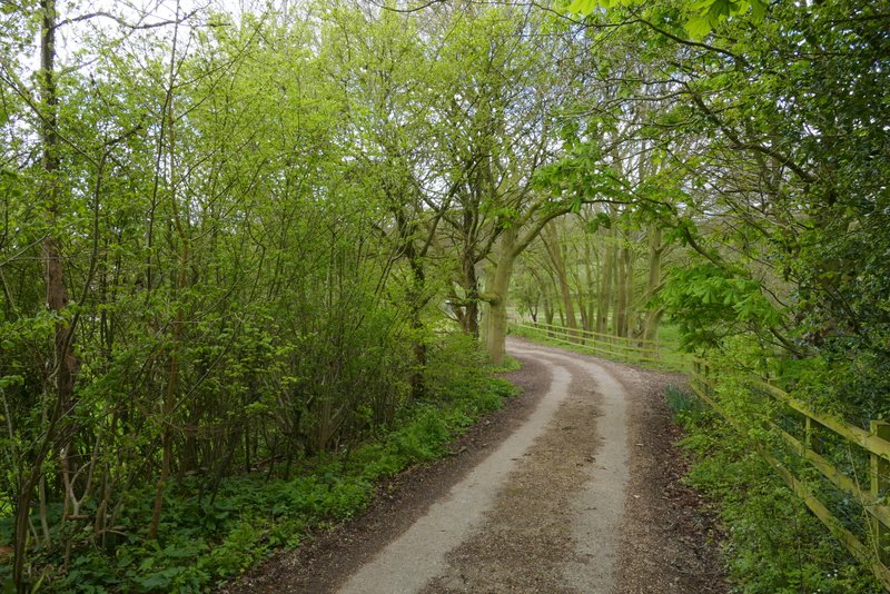
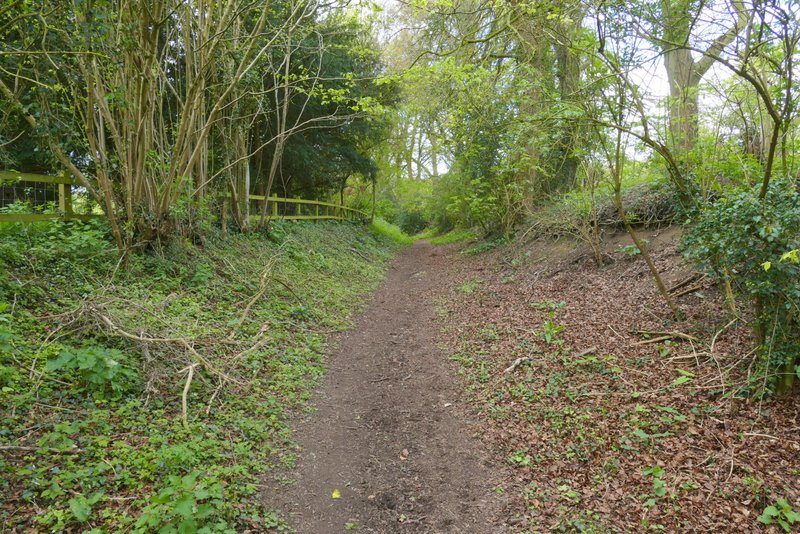
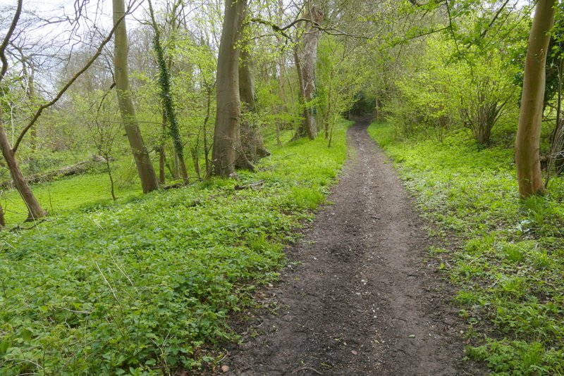
I parked outside the church in Bledlow (Grid Reference SP 778022) and started walking just after 11am. With the church on my right I walked down the street to reach The Lions Of Bledlow Pub, and turned left along a byway next to it. When the byway turned right, I went straight on southwards along a hedge-lined bridleway. The bridleway ran for several hundred yards, very gradually gaining height. When I eventually reached a crossing track, I turned left for a few yards and then took a path going half-right - I was now back on familiar ground as both the Ridgeway and the Chiltern Way go this way.
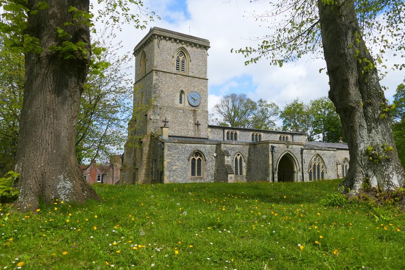
Bledlow church
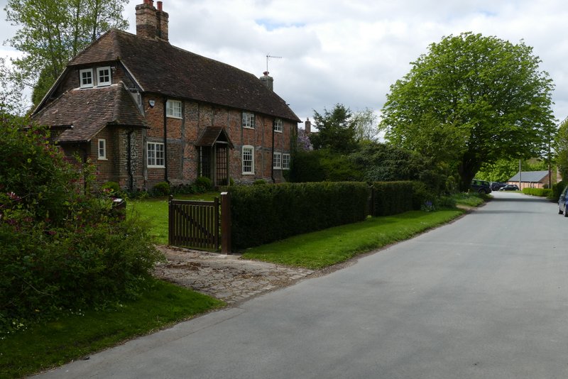
Bledlow
The byway from next to The Lions of Bledlow pub
Start of the bridleway continuing south from where the byway turns right
The bridleway continuing south
The bridleway continuing south
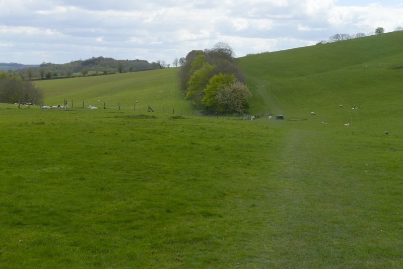
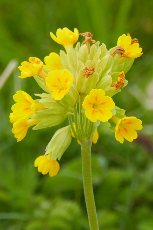
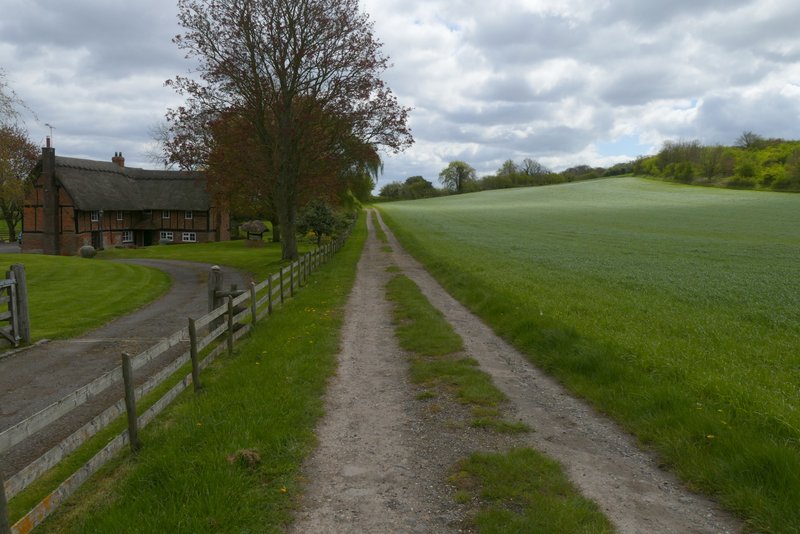
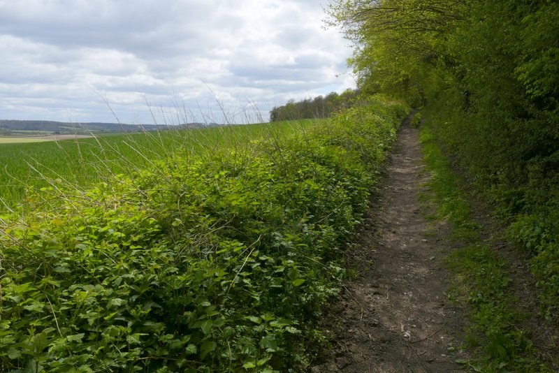
The path crossed a large pasture (sloping up to my right), fairly soon following a hedge on my left. In the corner of this field I went through a gate and continued along the other side of the field boundary for a few yards to reach another path junction. The Ridgeway goes straight on here, but I took the route of the Chiltern Way by going half-right again. The path crossed another pasture to reach Wigan's Lane, and after crossing over I continued down the long drive to Old Callow Down Farm. The field here was full of Cowslips
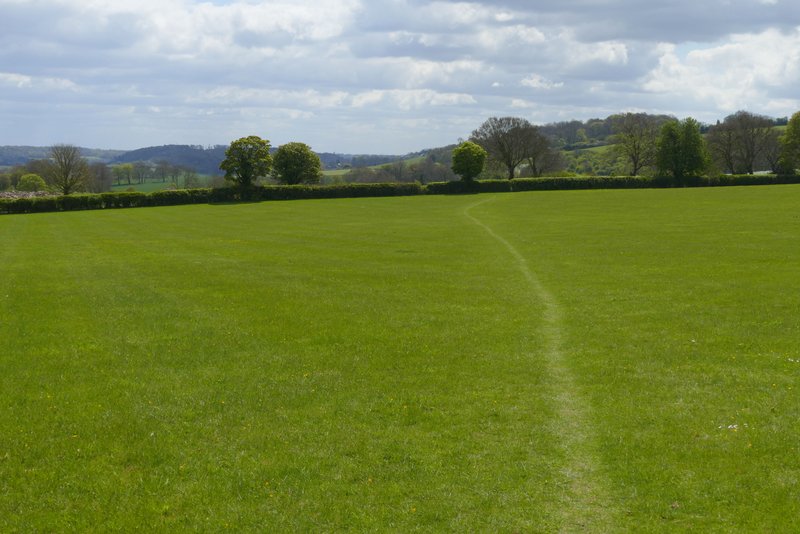
Part of the Ridgeway, after I turned left and then immediately half-right
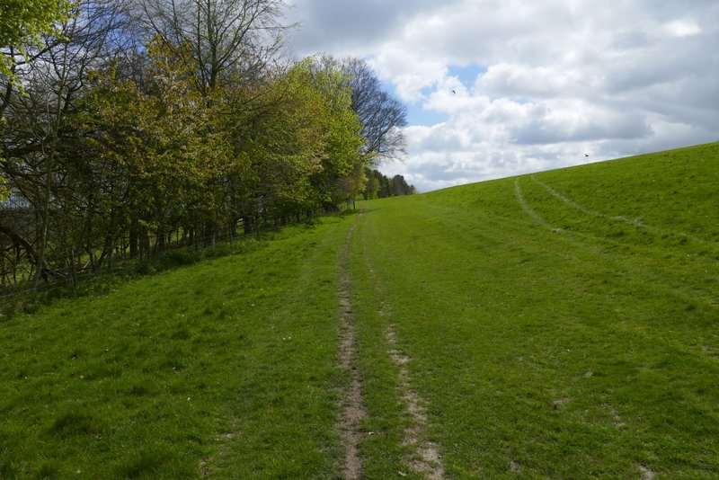
Further along the Ridgeway, in the same field
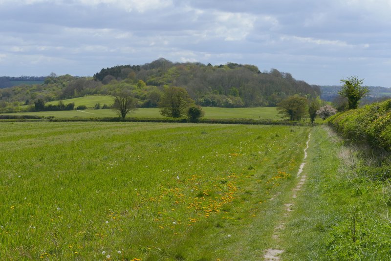
Lodge Hill, from the Ridgeway (I took a path forking left here)
Approaching Wigan's Lane
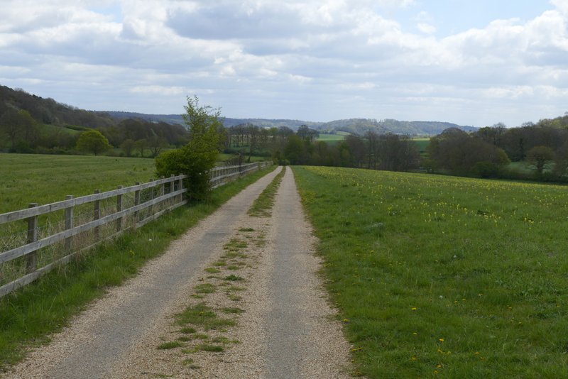
The drive to Old Callow Down Farm, on the other side of Wigan's Lane - this field was full of Cowslips
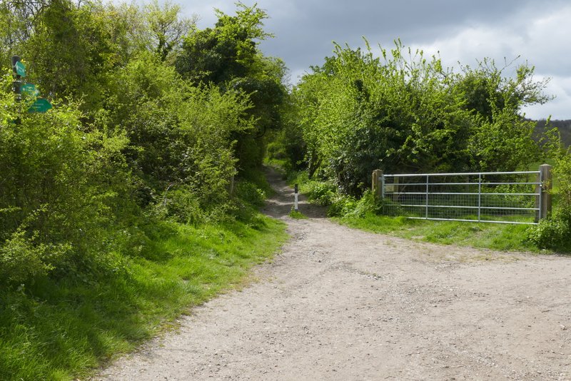
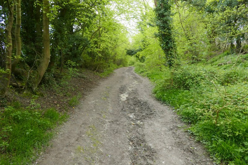
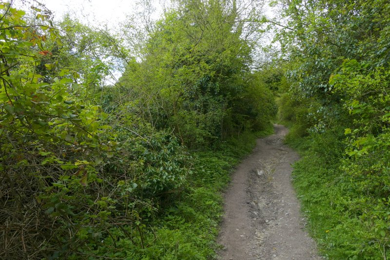
The drive eventually turned right just before reaching Old Callow Down Farm, from where I continued straight on along a bridleway. I soon reached Callow Down Farm, where the bridleway goes right along the drive a short way then turns left. After passing the farm on the left, the bridleway soon switched to the left of a hedgerow. It now started gradually rising uphill, steepening as it passed Neighbour's Wood on the left. At the top of the slope it left the wood behind and followed a track or drive at Rout's Green. Shortly after this turned right, I turned left along a drive or private road.
Approaching Old Callow Down Farm
Between Old Callow Down Farm and Callow Down Farm
Passing Callow Down Farm
The bridleway just after Callow Down Farm
The same bridleway now passing Neighbour's Wood
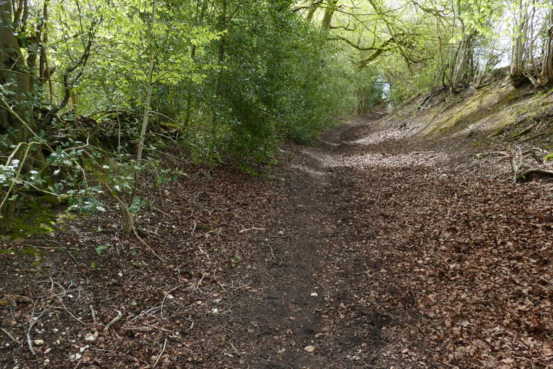
The same bridleway now passing Neighbour's Wood
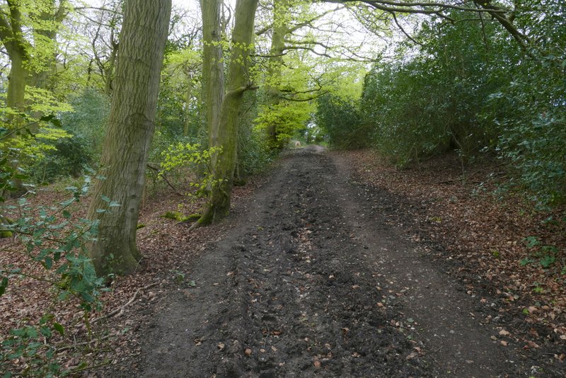
The same bridleway now approaching Rout's Green
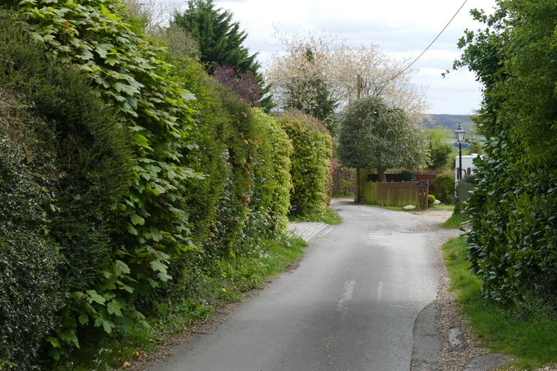
The drive or private road after I turned left in Rout's Green