Pete's Walks - Studham Common and Trowley Bottom (page 1 of 3)
If you are considering walking this route yourself, please see my disclaimer. You may also like to see these notes about the maps and GPX files.
I did this circular walk of about 9.5 miles on Friday, 28th February 2025. It was a new route for me, although entirely on paths I'd walked many times before on other routes.
The route I walked today was actually my 'third choice' route! I'd intended to do a walk from Hambleden, about an hour's drive away at the other end of the Chilterns, but I overslept (by almost 2 hours!) and realised I didn't really have time to do that. So I chose to do a walk from Pitstone Hill, a 15-minute drive away, instead. It was a beautiful day as I left Kensworth, but as I drove through the neighbouring village of Whipsnade it started to get foggy! By the time I reached Bison Hill on the far side of Whipsnade it was really quite thick fog, and there was clearly a blanket of fog covering the Vale of Aylesbury at the foot of this part of the Chilterns. I didn't want to walk in the fog (again!), so I drove to Studham Common and quickly worked out a route from there to Trowley Bottom (in the opposite direction to where the fog was).
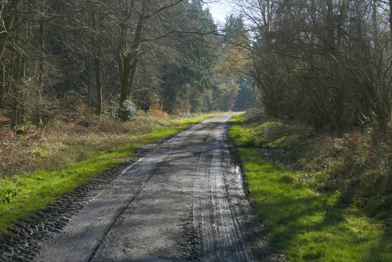
I set off from the car park on Studham Common (Grid reference TL 027156) about 11.15am, taking the path heading east along the top of the common, which dropped gently downhill on my left. In the corner of the common, I took a footpath going right, following a hedge and then beside Great Bradwin's Wood on my left. Looking right, I could see the top of the fog bank I'd encountered on the horizon. At a path junction I turned left, through the wood. On reaching a track junction, I went straight on, now in Gravelpit Wood

The path along the top of Studham Common

The path passing Great Bradwin's Wood, after I turned right at the corner of Studham Common

Looking right from the edge of Great Bradwin's Wood, in the direction of Whipsnade - the cloud on the horizon is the top of the fog bank over the Vale of Aylesbury

Great Bradwin's Wood

Gravelpit Wood
Gravelpit Wood

Pond in Gravelpit Wood
On leaving Gravelpit Wood I continued straight on, passing some farm buildings and cottages on my left. At a crossroad of tracks I turned left. After a while this track dropped downhill beside a wood on the left (I spotted some Common Field Speedwell here). The wood finished when I reached the valley bottom, the track continuing gently up the other side of the valley to reach the end of the surfaced part of Roe End Lane (it continues leftwards as a byway, which I would meet near the end of the walk).

The path continuing past Beechwood Home Farm

The path after I turned left near Beechwood Home Farm

Further along the same path

Further along the same path, as it approaches Roe End
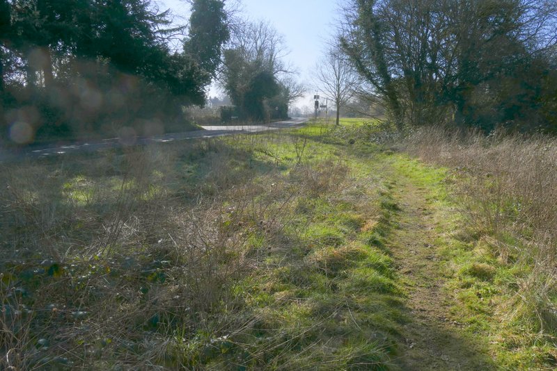
I turned right along the lane, then after three or four hundred yards took a footpath on the left. This followed the right edge of a long field. On entering the next field I reached a path fork, with options of going half-right or right. I went right, following a tall hedge around a huge ploughed field (with a copse in it). After about a third of a mile, I turned right through a gap in the hedge and followed a path along the left edge of a small meadow to reach Cheverell's Green (a hamlet on the edge of Markyate). I turned right along a path through the small area of grass here (presumably part of the green that gives the hamlet its name) to reach a road junction, where I started down Friendless Lane (my favourite road name - you can read about its origin here).

Roe End Lane

The path after I turned left from Roe End Lane

The path after I turned right in a field corner

The path after turning right again, approaching Cheverell's Green
Cheverell's Green
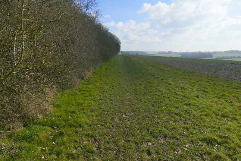
Just a short way along the lane, I took a footpath forking right - I'd be following this path for almost a mile, almost parallel to the lane. The path started along the right edge of a paddock, where there was some work going on at the moment which meant it was very muddy. Beyond this, the path turned right into a field corner, where it turned left. It then ran between a fence and a tall hedge on the right. It then ran between fences (new since I was last here) across another field, then continued beside a wood called Cotton Spring on the left. In the next field the path had a hedge on the left, then it had Friendless Wood on that side. After following the edge of the wood for several hundred yards, the path turned left and went through the wood to return to Friendless Lane.

Near the start of the path parallel to Friendless Lane

The path parallel to Friendless Lane

The path parallel to Friendless Lane

The path parallel to Friendless Lane, next to Cotton Spring Wood

The path parallel to Friendless Lane
The path parallel to Friendless Lane, next to Friendless Wood

Friendless Wood