Pete's Walks - Cowleaze Wood, Crowell, Stokenchurch (page 1 of 6)
If you are considering walking this route yourself, please see my disclaimer. You may also like to see these notes about the maps and GPX files.
Google map of the walkDownload GPX file of the walk
NOTE (6/11/2025): Parking at Cowleaze Wood is no longer free, there is now a cashless payment system. To see details, click here and then click on the 'Parking and prices' tab.
I did this circular walk on Monday, 24th March 2025. It was another repeat of a walk I first did in May 2019, but with two alternatives (shown on my Google map) that reduced the distance from 13 to 11.8 miles (the first alternative also cut the number of significant uphills from 7 to 4).
I parked in the large car park at Cowleaze Wood (on the Ibstone road, a couple of miles east of Stokenchurch - grid reference SU 726956), and started walking about 10.05am. I walked through the car park with the road to my left until I came to a sign about the Aston Rowant nature reserve. I carefully crossed the road and went through a gate, turning right and following a hedge on my right through a sheep pasture for about 100 yards (there was a pen with sheep in it here, with some people standing by it). Through another gate I turned left along what appeared to be a farm track but is in fact Hill Road - there was a sign by the road here saying it was 'Not Suitable for Motor Vehicles', it only becomes an actual lane at Hill Farm at the bottom of the Chiltern escarpment. The road or track was soon steadily descending the Chiltern escarpment northwestwards to the Oxfordshire Plain below, following the northeastern side of Bald Hill. The track was quite pleasant, but it is almost entirely enclosed by trees or hedges and so lacks the fine views that the other three paths that descend the escarpment from near Cowleaze Wood have.

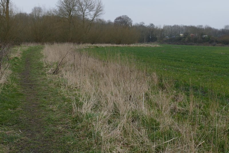
The path parallel to the road, through part of the Aston Rowant nature reserve

Near the start of Hill Road ('Not suitable for motor vehicles')

Hill Road

Hill Road
At the foot of the slope, near Hill Farm, the 'road' turns slightly left and becomes a surfaced lane. I was now on more familiar territory but when I continued along the lane after the Ridgeway crossed it, I was again on part of the route that I'd only walked twice before, and would not be back on familiar territory for several miles until I reached a lane at Crowell Hill. The lane continued for about half a mile to reach the B4009 road close to an M40 junction on my right (there was a lot of parking spaces here, people park here and commute to and from London on buses along the motorway). Across the road, a short path went down a flight of large concrete slabs and then entered the village of Lewknor. On coming to a junction, I turned right, with The Leathern Bottle pub now on my left. I soon crossed Church Road, and a little further on I took a path on the left that passed the village school's playground (on my right) - it was playtime, and as I passed by a teacher asked how far I was walking and where. The path took me to the churchyard, where I took a path that went to the right of the church. Continuing from the churchyard the path followed the left edge of a huge corn field, with an embankment carrying the M40 on the other side of the field. They must be very friendly people in Lewknor - a dog walker also stopped me and asked me about my walk! This very rarely happens, so to have two people do it in the space of a few hundred yards is definitely a first! There was a ditch or stream over the fence on my left, and the path followed the field edge as it curved right and then left and then right again. Eventually, the path turned right and crossed the field to reach the motorway embankment, where it turned left. On reaching a field corner, it continued straight on through a wood.

Hill Road (after it becomes a surfaced lane at Hill Farm)

Hill Road (after crossing the Ridgeway)

Hill Road

A white Common Dog-Violet

Start of the path into Lewknor

The street into Lewknor

Ye Olde Leathern Bottel, Lewknor

Stream in Lewknor

Lewknor church

The path from Lewknor church
The path from Lewknor church

The path from Lewknor church, after crossing the field to the M40 embankment

The path continuing beside the M40