Pete's Walks - The Chiltern Chain Walk, Walk 7
If you are considering walking this route yourself, please see my disclaimer. You may also like to see these notes about the maps and GPX files.
Google map of the walkDownload GPX file of the walk
Walk 7 10/05/08 – Circular walk from Chesham (14.4 miles approximately)
Parked at Pay-and-Display car park at Chesham railway station.
If you are interested in walking this route yourself, click here to see the route description (but only if you have already read my disclaimer and notes regarding route descriptions).
Note: Much of this route is the same as the ‘Circular Walk from Chesham’ walk in the ‘Chiltern Hills’ section of my web site.
As this was a Saturday, I wasn’t worried about rush-hour traffic and so skipped my second cup of coffee at breakfast and set off earlier than usual. It was forecast to be warm again (24-25C) and so I wanted to do as much walking as I could before it got too hot – it was already 17C as I drove off from Kensworth. I parked at the station in Chesham and started walking just before 9.15am.
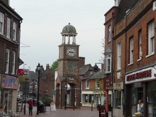
[1] The clock tower, near the end of the High Street in Chesham
Chesham is the fourth largest town in Buckinghamshire, with a population of 23,000. In the past, beer, brushes, boots and watercress were among the major industries, but it is now largely a commuter town. Traditionally and locally the name is pronounced Chess-am, although it is more usually and widely pronounced Chesh-am. Rather surprisingly the river Chess takes its name from the town, rather than the other way around. Chesham is first recorded in Anglo-Saxon documents, including in the will of Lady Elgiva, a Saxon Queen. The town’s tube station is the last one on a spur off the Metropolitan Line.
I followed Station Road a short distance downhill into the centre of Chesham and turned left along the pedestrianised High Street. It was still quite quiet at this time of the morning, and the market stalls were still being put up in a row along the centre of the street. Near the end of the street, just before reaching the clock tower [1], I turned right to reach a dual carriageway that bypasses the centre of the town. On the other side I turned right for a few yards before turning into Church Street. I soon turned right into Bury Lane, an alleyway between old buildings that quickly led into Lowndes Park, where there was large pond ahead of me and slightly to the right [2]. I followed the lane as it turned left along the edge of the park, passing the town church on my left. The lane soon ended but I continued on alongside the wall and then hedge on my left, through a large meadow which I think is still part of the park. There were several people walking there dogs here. Just before the end of the meadow, I took a path forking left through a narrow bit of woodland.
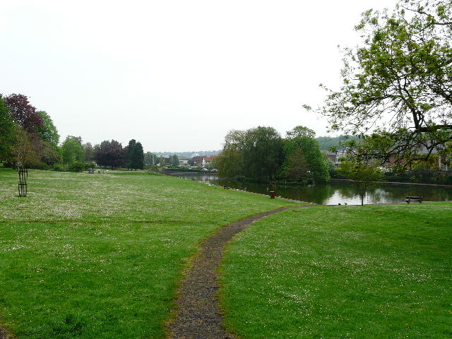
[2] Lowndes Park, Chesham
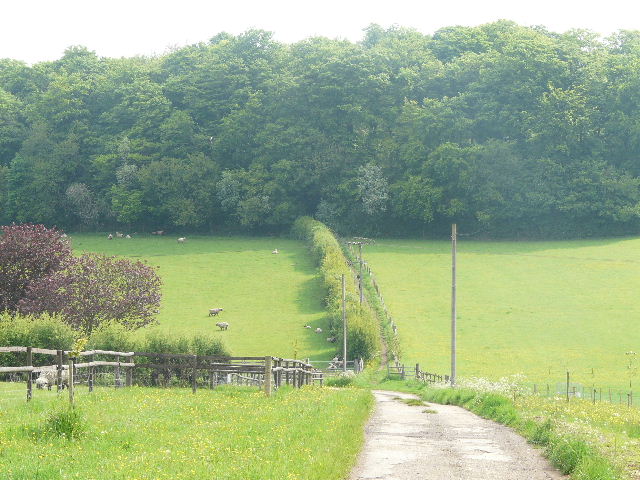
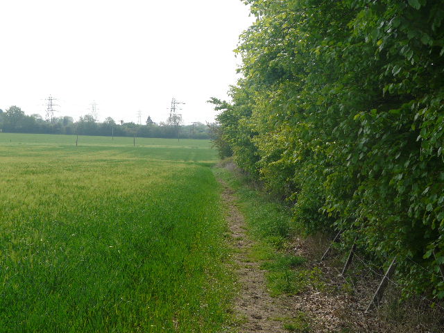
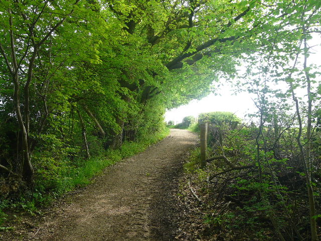
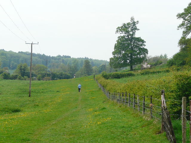
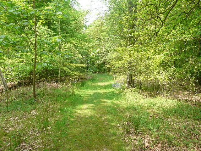
On the far side of the wood I turned right (the Chiltern Link, which I walked in 2005, goes diagonally across the field here, heading for the long valley of Herbert’s Hole which I could see in front of me). My path now followed the edge of the wood on my right – the field on my left, sloping down into a valley, seemed to have been planted with small trees or bushes [3]. I passed a small tent beside the path here. Further on, the path continued beside some large paddocks. I saw a new wildflower here, Crosswort – I wondered if it was an escapee from a garden until I had it identified later on a website. The path then ran between fences to reach a drive, with a road a few yards to the right. I turned left along the road and followed it for about half a mile into the village of Chartridge (which I’d also passed through on my last walk).
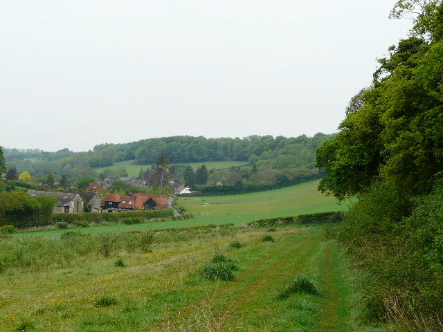
[3] The path beside the wood, near Chesham
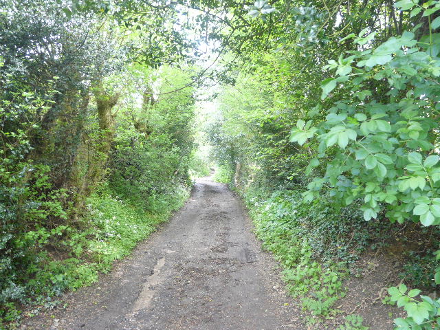
I turned right into Buslins Lane, which went steeply downhill, the tarmac soon being replaced by gravel as it left the village. The lane turned right when it got to the bottom of the valley [4], running between hedges with paddocks and a stable on the right. It then turned left and passed some cottages before reaching a lane. I continued down a farm drive [5] on the other side (I saw some sort of Fumitory growing along here), and when this turned left I continued on a path between a hedge and a fence, heading uphill towards Captain’s Wood with sheep pastures on either side. I followed the path through the wood to a junction just inside the far edge, where I turned left. I kept right at a couple of forks in the path, staying as close as possible to the edge of the wood, before turning right at the next junction. I followed a hedge on my left across a meadow, with Mount Nugent farm ahead and to my right. I then followed the farm drive left to a road. The outskirts of Chesham were just a few yards to my right, with the village of Bellingdon along the road to my left.
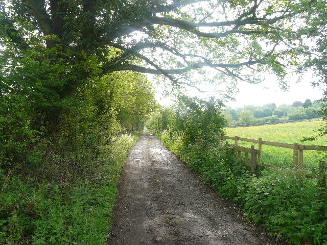
[4] Buslins Lane
[5] The drive and path heading towards Captain's Wood
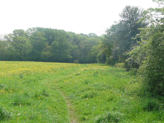
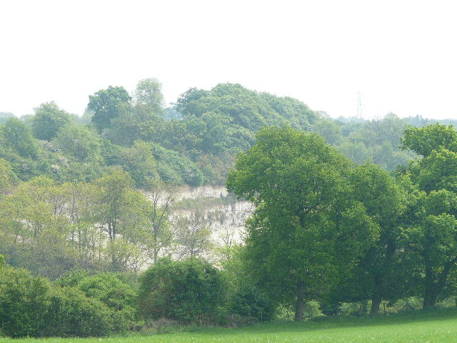
Across the road I managed to get a photograph of a Holly Blue butterfly. A footpath went half-left here, between garden boundaries on my left and the fences of some small pastures on my right, one of which had some cattle in it. Since leaving Captain’s Wood, I’d been retracing part of Walk 6, but I soon left that route by turning right at the next path junction. This followed a mature hedge on my right with meadows full of tall buttercups on my left [6], and then passed through a section of Ramscoat Wood (which I’d also been through on the last walk). The path then turned left alongside the wood, and headed quite steeply down into the long valley of White Hawridge Bottom [7]. There were nice views to the right, to where the valley meets another one called Chesham Vale. At the bottom of the hill, I turned right onto a gravel byway – initially there was an Ostrich farm to my left here [8], and I took a couple of snaps of these huge and inquisitive birds.
[6] The path heading towards Ramscoat Wood
[7] The path beside Ramscoat Wood heading down into White Hawridge Bottom
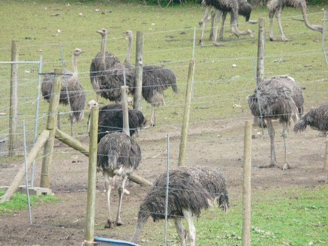
[8] The Ostrich farm in White Hawridge Bottom
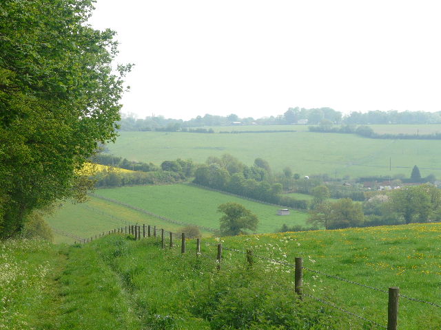
At the end of the byway I crossed the road running through Chesham vale, and took the path ahead of me that first went through Little Passmore Farm. It continued uphill, initially alongside the wooden fence of a bungalow on my left, then between a wire fence and a hedge on my right. There were again nice views, this time to my left over a large meadow towards Chesham Vale [9]. At the top of the hill, the path continued through two small meadows and then followed a private drive to reach the A416 road between Chesham and Berkhamsted (part of the route I’d driven from Kensworth earlier).
[9] View of Chesham Vale from just past Little Passmore Farm
[10] The field path beyond the A416
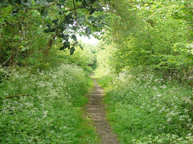
Another footpath started on the other side of the road, following the right-hand hedgerow of a large corn field [10], with horses grazing in a paddock visible ahead of me. The hedge turned slightly right after a while, and a bit further on it turned right again – at this point the path left it, turning left across the field, following tractor tracks through the young crop. On the far side I went through a kissing gate and continued along a narrow path between mature hedges that overhung the path to form a green tunnel – there was a lot of holly and ivy along here. The path ended by a metal farm gate and a concrete drive, where I turned right onto a similar path that soon led to a minor road in Lye Green.
[11] The meadow beyond Lye Green
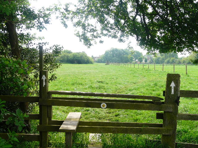
I went a few yards to my left, then took a path on the other side of the road. Initially this had a brick wall around a small estate of expensive modern houses on the right – there was Red Campion, Garlic Mustard and some Cowslips growing here. The path then turned slightly left, went over a stile [11] and crossed an empty, irregularly-shaped pasture, before following a driveway a few yards to another minor road. There was another path almost opposite, which continued between corn fields and then meadows [12], before joining a long, well-surfaced farm track. There were now paddocks to my right, and some small enclosures on the left, one of which contained a Llama. The track passed through a farmyard and ended at a road in the village of Botley.
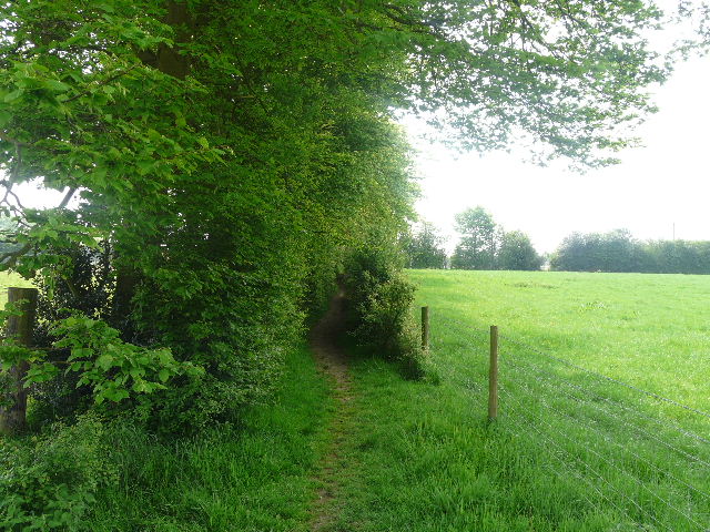
[12] The path heading towards Botley
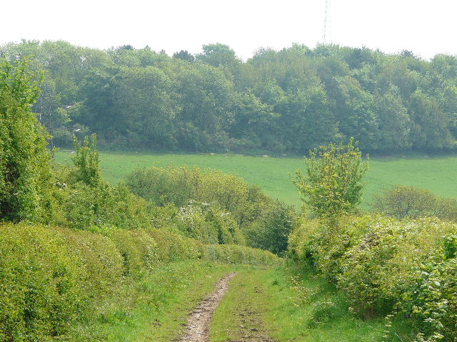
I went a short distance to the right, before turning left down a lane. This went downhill, with gardens either side. At the bottom of the hill, I turned left into the intriguingly named Broomstick Lane [13] (on my exploratory walk in this area, which is the ‘Circular walk from Chesham’ in the Chiltern Hills section of my web site, I turned right into Bottom Lane at this point). This started as a track but soon narrowed to a path, with garden boundaries on the left and a hedge and small pastures on the right. There was a lot of lovely Herb Robert growing along here, the most I’ve seen so far this year. After about quarter of a mile I turned right, following a hedgerow through a yellow speckled meadow to a wood [14].
[13] The start of Broomstick Lane, Botley
[14] The path through a meadow to the wood from Broomstick Lane
Here I managed to go wrong – despite having been through this wood two or three times before (it’s on the route of the Chiltern Heritage Trail). As I’m doing this walk, I’m checking out the route descriptions that I’ve written for it (another reason, on top of all the photos, that I’m only averaging about 2½mph at the moment). So far they have been fine (they’ve been quite accurate, I’ve just needed to flesh them out a bit) but here they were woefully inaccurate and inadequate. I wasted about five minutes trying different paths at different junctions, before finding the correct route – the other times I’ve been here have been in Autumn or Winter when there wasn’t a thick undergrowth of foliage, that’s the only reason I can think of for why I didn’t recognise the way I’d been before. At least I managed to spot a Nuthatch in the wood, surprisingly this is the first time I think I’ve seen one on my walks.
On the far side of the wood, I followed a hedgerow through a small paddock, then the path continued as an alleyway beside some houses on the right. It ended beside a chapel on a road in Ley Hill. I turned right, soon reaching an odd junction where three or four roads radiated off from a sharp bend. I took a road going half left, between a cricket pitch and part of a golf course on my right. Two cyclists coming the other way said ‘Hello again!’ as they went past – I knew I’d seen them earlier, but I still can’t remember where on this walk it was. I saw a golfer retrieve his ball that had gone across the road, and then I passed the entrance to the golf club on the left. Having followed the road for almost half a mile, I took a bridleway on the left, just beyond a farm – four mountain bikers had emerged from the bridleway just before I reached it.
[15] An old chalk quarry, from the bridleway to Flounden Bottom
I followed the bridleway for about a mile, initially between fences with corn fields either side – across the small valley on the left I could see an old chalk quarry [15]. Further on the bridleway ran between hedges, as it descended very gently towards a valley ahead of me [16]. After a few hot and dry days, there had been some thunderstorms yesterday evening – the paths here and elsewhere were not too wet, but just damp enough that the mud stuck to my boots as I walked along. The bridleway turned briefly left than right again at a slightly steeper section, then finally ended at a lane running through the valley of Flounden Bottom. This was currently being resurfaced (the machine had just gone past to the left) so as I turned to the right down the lane, the loose chippings joined the mud on the bottom of my boots.
[16]The bridleway to Flounden Bottom
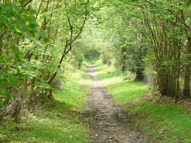
After following the lane along the valley for a quarter of a mile, between green meadows and pastures speckled with yellow Daisies and Buttercups, I turned left on a path going uphill between fences to reach Long Wood. The path continued uphill through the wood, partly on wooden steps – I saw Cuckoo-pint, Garlic Mustard and Yellow Archangel amongst the wildflowers here. At the top of the hill, beyond the wood [17], the path continued on a surfaced track between fields. At a junction I turned right on a similar track [18] – there were no signs, but this is shown as an ‘other route with public access’ on the map. It led to a crossroads with three public bridleways, where I took the one carrying on ahead, descending slightly through Baldwin's Wood [19]. There was more Yellow Archangel here, Wood Spurge, Primroses, Wood Speedwell and a lot of Bugle, the first I’d seen this year. The path through the wood was muddy in a couple of places, but generally not too bad. The wood was mainly deciduous, but I passed a few conifers on the right at one point. On the far side of the wood [20], the bridleway turned left beside the wood, then went right to a junction with a path running through the attractive Chess Valley. I stopped on a stile here to eat my lunch, as it was now just after 1pm.
[17] The start of the track beyond Long Wood
[18] The track heading to Baldwin's Wood
[19] The bridleway through Baldwin's Wood
[20] View across the Chess Valley from the edge of Baldwin's Wood
It had been very warm and humid all morning– the sky was rather hazy, mainly white rather than blue. I was already feeling rather drained by the heat, as I set off again, following the path west along the valley, at first through a field of rough grass and then through a large cattle pasture [21] – the cows were all in a tight group down by the river. I have seen Little Egrets along the river here on previous occasions, but not today – if any were around, they’d have been hidden by the thick vegetation along the river. They’d also have been frightened off by the people paddling along the river – someone else looked as if they were collecting watercress (there is a commercial watercress business a little further along the valley). On the far side of the pasture I reached a road, where I turned right to reach the village of Latimer [22].
[21] The path through the Chess Valley, heading towards Latimer
The village and parish of Latimer lies in Buckinghamshire, but borders Hertfordshire. It was originally joined with the neighbouring village of Chenies, when both were called Isenhampstead and there was a royal palace in the area. During the reign of Edward III the land was split between two barons, William Latimer and Thomas Cheyne, from whom the two villages derived their modern names. At the time of the English Civil War the manor of Latimer belonged to the Earl of Devonshire. Charles I was brought to Latimer on his way to London after being captured by the Parliamentarians. There is a very attractive triangular green in the centre of Latimer. On the green is an old water pump, a memorial to the local men who died in the Boer war, and another tomb-shaped stone memorial marking the burial place of the heart of a horse that was wounded when a General Villebois was killed (also in the Boer War).
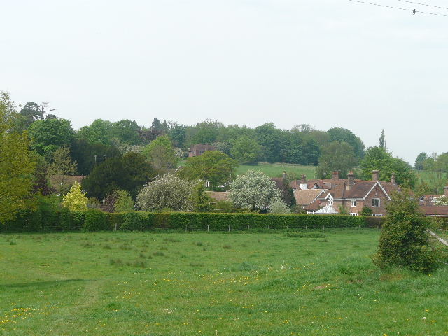
[22] Latimer
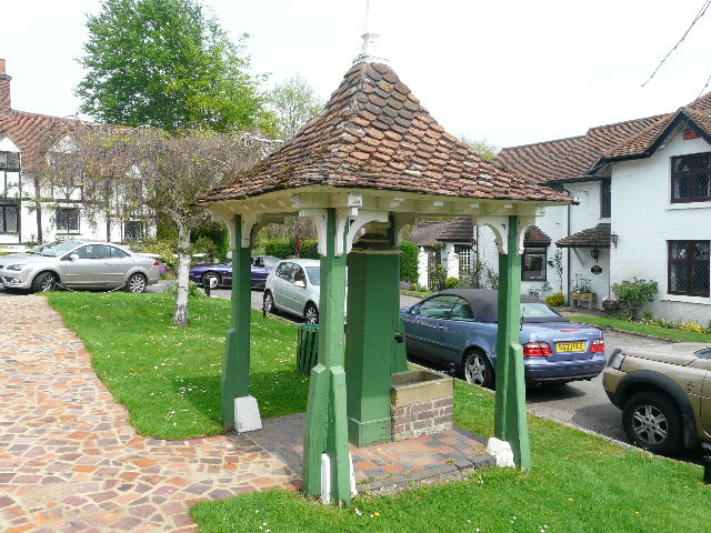
[23] Old pump, on the green in Latimer
From near the left-hand end of the triangular green [23] in the village centre, I took a footpath that led across a meadow in front of house, with a nice view to my left over the Chess Valley. I turned right along a lane, soon passing the village church on my left. Further on I passed the entrance to a large private residential estate, also on the left. There was some Red Campion and Russian Comfrey growing here. After half a mile of lane walking, I turned half-left on a path that crossed a large barley field diagonally to reach a wood [24]. It was much cooler in the shade of the wood, and this was a very pleasant part of the walk [25]. I passed a pond on the left, and further on saw a lot of the charming little Yellow Pimpernel that I’d come across on my last walk. There was also some Wavy Bitter-cress growing here.
[24] The path through the barley field, heading towards Codmore Wood
[25] The path through Codmore Wood
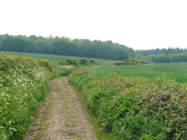
Beyond the wood, I crossed a meadow, again speckled with yellow Buttercups and Dandelions. I crossed a lane and followed a hedge through an empty sheep pasture to a second lane (there was White Campion by the stile here, the first I’ve seen this year), where I went a short distance to the left. As the lane turned left by some houses and a farm, I turned right on a bridleway called Green Lane [26]. This ran along between mature hedges, again the shade making this a cooler and pleasanter section of the walk. I followed it for some distance, with occasional views over the Chess Valley on my left [27]. Herb Robert and Goldilocks Buttercup were amongst the wildflowers I passed along here. Eventually the bridleway descended gently down into a valley. Near the bottom I took a short path on the right that crossed a corner of a field of oil-seed rape to join a similar hedge-lined bridleway, where I turned right. I followed this bridleway some distance along the valley bottom, with the field of bright yellow rape to my right. I spotted Lesser Celandine, Yellow Archangel and more Cuckoo-pint here.
[26] Green Lane
[27] Looking across the Chess Valley to Chesham Bois from Green Lane
I came to a junction where another bridleway came in sharply from the left, and immediately after a footpath went across. I turned left onto the path (rejoining the route of the walk round Chesham that I’ve previously mentioned, and also following the final section of the Chiltern Heritage Trail) and followed it uphill beside a fence separating two meadows. I continued uphill, though less steeply, following tractor tracks across a large field of young corn. At the top of the hill, the path continued beside a hedge on the right [28], with school playing fields beyond. I crossed over a farm drive, and walked across a paddock. Through a kissing gate on the far side, the path turned right between a fence and hedge on the right. I then turned left through another kissing-gate, and followed a hedge on my right, having to take a slight detour round two of the four horses in this paddock.
[28] The path beside the school fields
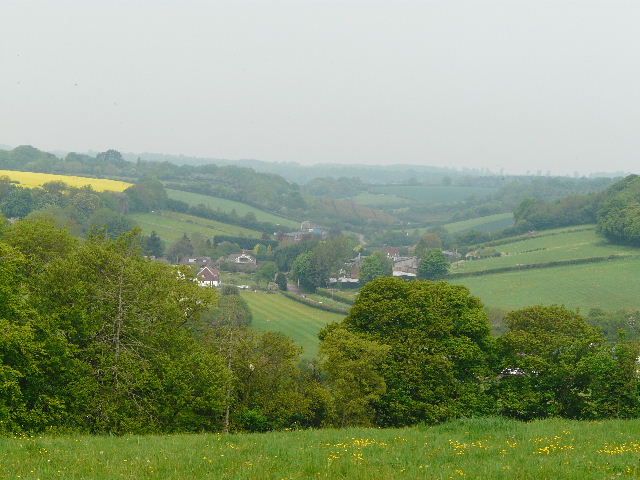
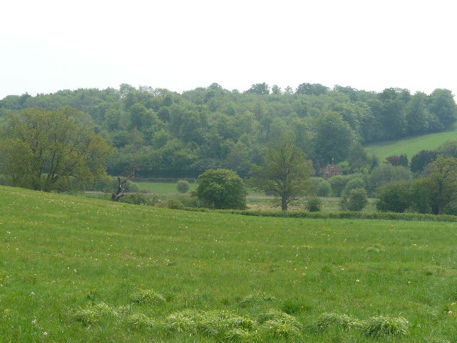
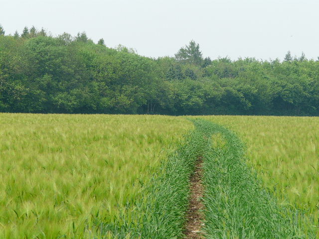
In the field corner I went through another kissing-gate and went half-left through another corn field. The ground was sloping down ahead of me, and I could see a few valleys radiating away from Chesham. When I walked this path on the Chiltern Heritage Trail I was amused by the fact that the route across the field was marked by cairns of flintstones and I’ve always remembered it as the ‘cairned path’ – sadly there were no cairns here today [29,30]. On the far side of the field, the path led steeply downhill between trees and bushes, going round a hairpin bend before crossing a bridge over the railway line. Immediately over the bridge I turned right on a tarmac path that soon took me to Chesham Station and my waiting car.
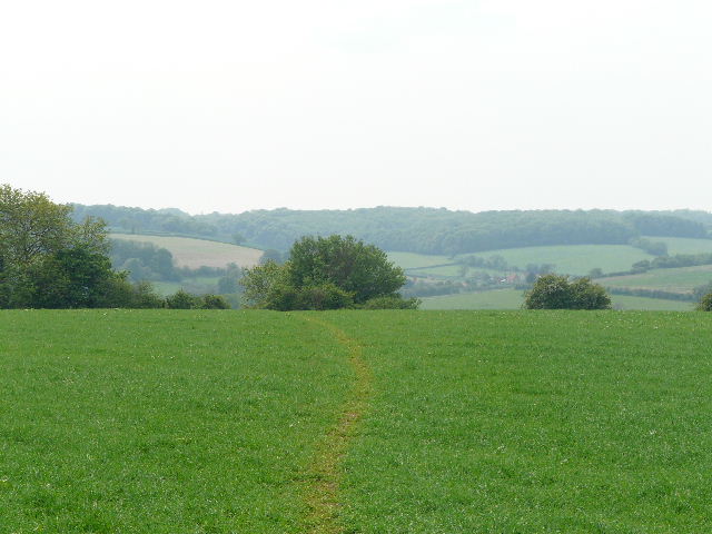
[29] The cairnless path
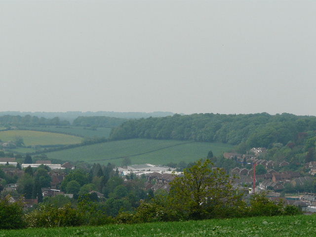
[30] Chesham from the cairnless path
It was about 3.05pm when I got back to my car so, allowing for my lunch stop, it had taken about 5 hours and 40 minutes to walk the 14.4 miles. Very slow going, but largely due to the 150+ photos I’d taken. I did feel more tired than usual at the end of the walk, quite drained in fact, but that was hardly surprising considering the very warm conditions – unlike my walk two days ago, there’d been no wind to take the edge off the temperature.
This was another good walk, with a variety of scenery and some pleasant views over the rolling hills and valleys of the Chilterns. I think I’d have enjoyed it more if it had been a fraction cooler, and also if I’d had a decent night’s sleep the night before – I’d been feeling rather low on energy all day.
Total distance: 85.8 miles
(To see this walk repeated IN THE OPPOSITE DIRECTION on 13/1/13, CLICK HERE)