Pete's Walks - Bledlow Ridge, West Wycombe, Bradenham (page 1 of 4)
If you are considering walking this route yourself, please see my disclaimer. You may also like to see these notes about the maps and GPX files.
Google map of the walkDownload GPX file of the walk
I did this 13.5 mile circular walk on Saturday, 20th February 2010. I'd been meaning to walk in this part of the Chilterns again for some time, but was spurred on to doing so by seeing that my friend Tim Bertuchi had recently done a very wintry walk in this area, and also by a kind comment by Danny Dunne in my guestbook that mentioned a walk he'd done here. I think the last time I walked here was when I did my Chiltern Chain Walk, well over 18 months ago. I hadn't done this exact walk before, but most of the route was on paths I'd used on other walks with just three short sections that were entirely new to me.
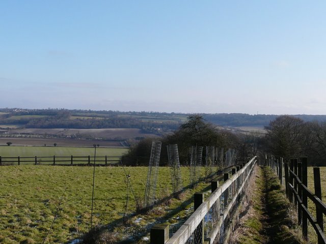
I parked at my usual spot in a side street in Bledlow Ridge, and started walking at about 10am. I took the footpath that starts opposite a small chapel (about 100 yards or so south of where the Chiltern Way crosses the road), initially between garden fences and then between the wire fences of some small sheep pastures. The path then went steeply downhill through two larger empty pastures (crossing over to the right of the first one), with remnants of snow on the steep slopes. There were grand views ahead, across the broad Saunderton Valley towards Loosely Row and Lacey Green on the opposite hillside, while to my left I could see Lodge Hill which I would reach towards the end of the walk. At the bottom of the slope, I crossed a muddy ploughed field, and turned right along a tarmac drive (part of a bridleway that I'd use later on) to reach Haw Lane.
Near the start of the path from Bledlow Ridge, with the Saunderton Valley ahead
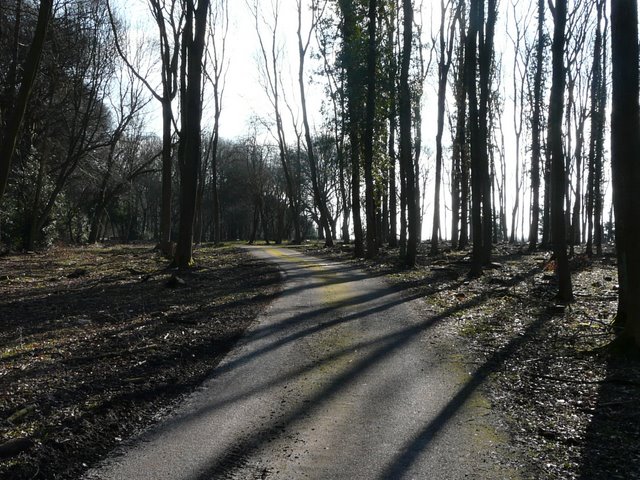
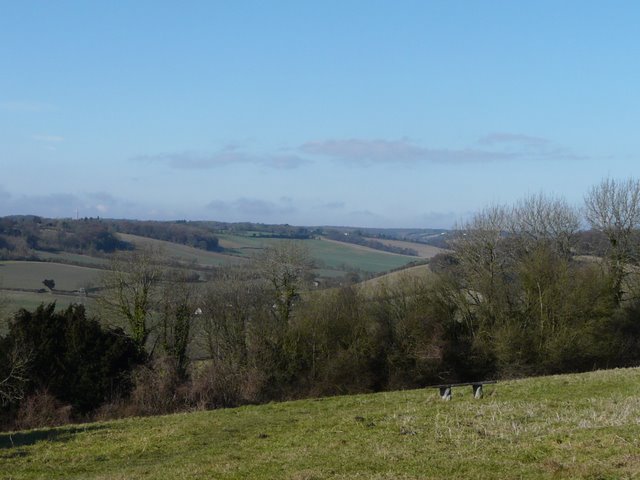
The path descending from Bledlow Ridge to the Saunderton Valley - the left end of the opposite hillside is near Whiteleaf Hill

The path descending from Bledlow Ridge to the Saunderton Valley - the left end of the opposite hillside is near Whiteleaf Hill

Looking back, from the ploughed field
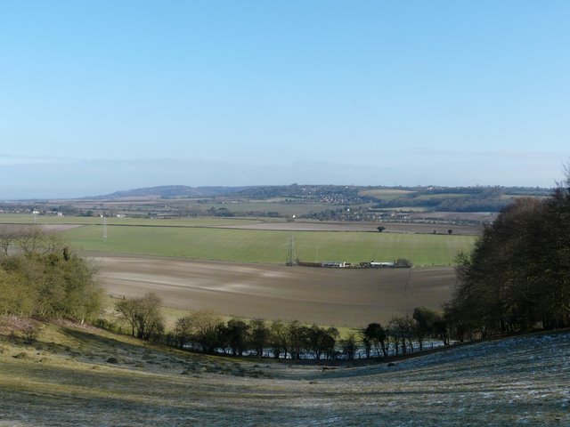
I turned left along the lane for a short distance, then turned right on a pleasant path rising gently alongside a hedgerow to reach the top of Slough Hill. This small eminence is the start of a ridge that divides the broad Saunderton Valley (behind me) into two smaller valleys (much more typical of the Chilterns) - I would be following this ridge to its southern end at West Wycombe, and then returning along the far side of the valley that was now on my left. I continued down the southeastern side of Slough Hill, to where a lane crosses a small dip in the ridge, and took the path along the drive to Nobles Farm on the other side. This soon rose quite steeply to enter part of Allnutt's Wood. After a short distance, the trees on my right gave way to some large pastures or paddocks, almost entirely circled by woods, and I heard and then saw some Red Kites nearby, the first of many that I would see today. Just before the drive reached Nobles Farm, there was a gap in the woods on my left, giving a view across the valley to where I'd be walking later on.
Looking back from the path up Slough Hill, towards Lodge Hill which I'd reach near the end of the walk
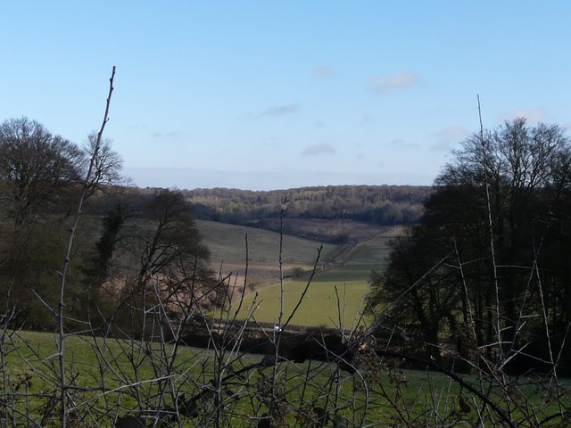
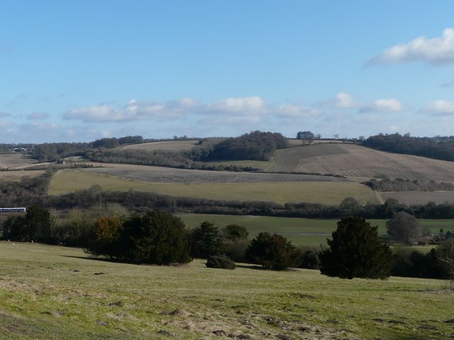
View east across Saunderton from Slough Hill - I would be walking back along the far side of this valley later, crossing Smalldean Lane in the centre of the photo

Looking back to Slough Hill, from the drive to Nobles Farm just before it enters Allnutt's Wood
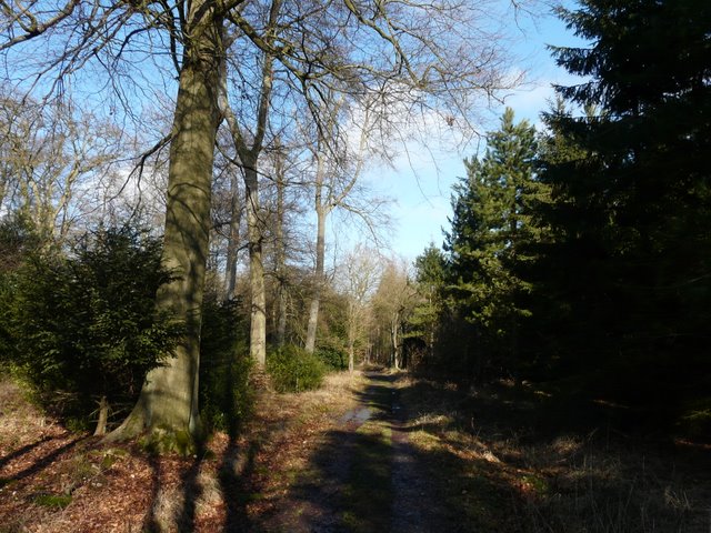
The drive to Nobles Farm, in Allnutt's Wood

Red Kite, in a tree on the edge of Allnutt's Wood
View east from near Nobles Farm - I'd be walking along the far side of the valley later on
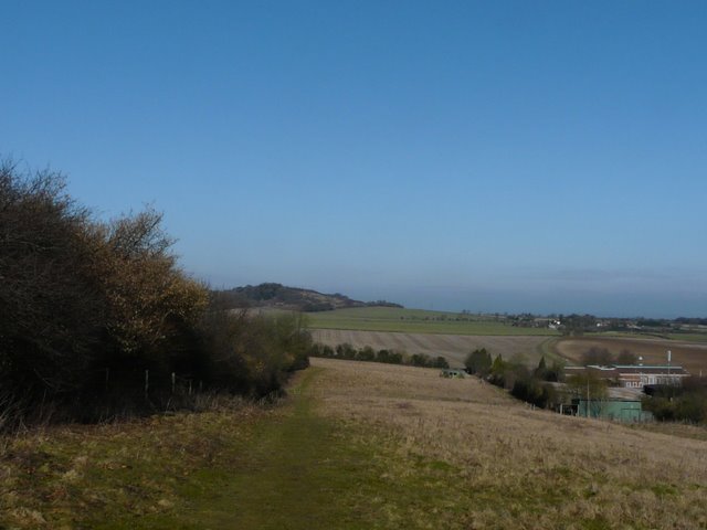
Beyond Nobles Farm, the footpath continued along a broad track, now running through Hearnton Wood. It continued through the trees for about a mile, passing a small enclosure on the left at one point to reach West Wycombe Hill. There was a grassy area here, with some woods to my right, then a car park and then the Italianate St Lawrence's church. I took the path to the right of the churchyard to reach the Dashwood family mausoleum beyond.
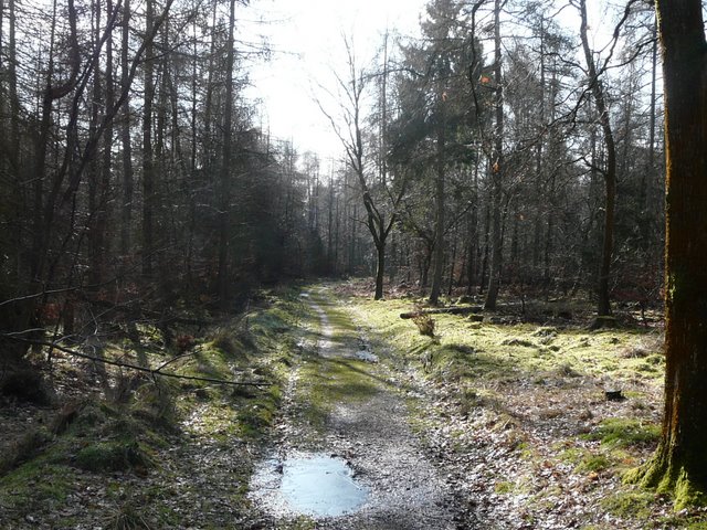
Path through Hearnton Wood - there was some thin ice on the puddles
Looking back along the path through Hearnton Wood
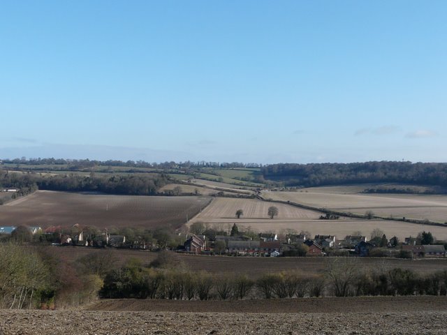
From the car park by St Lawrence's church, West Wycombe - looking roughly northwest, along a valley between Bledlow Ridge (right) and Radnage

St Lawrence's church on West Wycombe Hill
View east from West Wycombe Hill