Pete's Walks - Kensworth-Ivinghoe (part 4)
The path continued on through an area of rough grass - there are plentiful wildflowers here in the summer months but now there was little but ragwort and occasionally scabious or knapweed. The views of the Beacon and especially of Steps Hill and Income Hill were very impressive here.
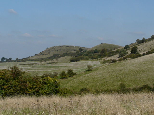
Ivinghoe Beacon
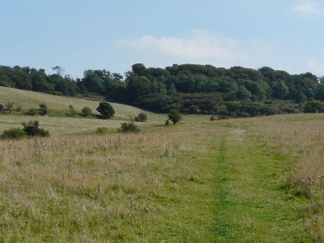
The path heading towards Ashridge
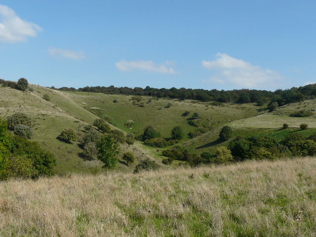
Incombe Hole
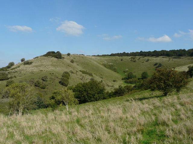
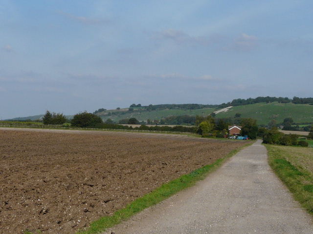
Steps Hill and Incombe Hole
The path led to a prominent wooden fingerpost, where I crossed over the Ridgeway National Trail. Pitstone Hill was now to my right.
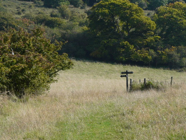
Approaching the crossing of the Ridgeway path
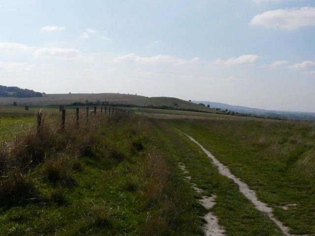
Looking along the Ridgeway towards Pitstone Hill
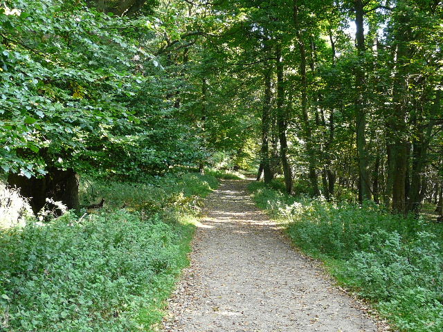
My route continued ahead, initially alongside a fence on my right, and then gradually ascending the steep slopes of part of the Ashridge Estate. I was soon heading uphill between trees, with occasional views out to my right towards Pitstone Hill. Near the top of the slope I reached the main track from Ivinghoe Beacon to the Bridgewater Monument. I followed it to the right, still going uphill slightly at first before it levelled out as I passed the dog kennels at Clipper Down. The track carried on, passing a cattle pasture on the right before re-entering the mainly beech woods of Ashridge.
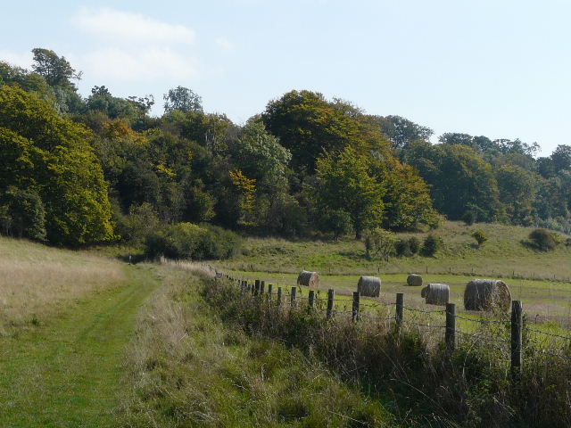
The path approaching Ashridge
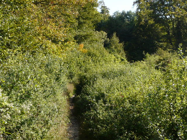
The path starting to rise uphill to Ashridge
The main track from Ivinghoe Beacon to the Bridgewater Monument at Ashridge, from just past the kennels at Clipper Down
After a short distance I turned left onto another path, which led me through the trees and soon curved right. At a path junction I went a few yards to my left to emerge onto a road (from the Beacon to Ringshall). I crossed over and walked down the long drive to Ward’s Hurst farm (five or six paths meet at the farm, and several of my local walks take me past it) with sheep pastures either side of me.
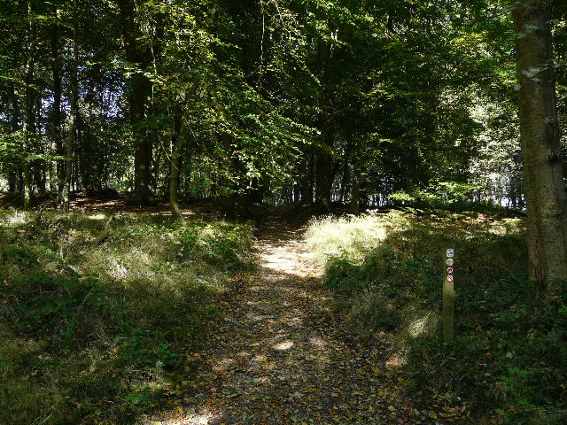
Start of the path away from the main track
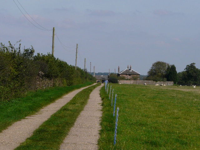
The drive to Ward's Hurst Farm
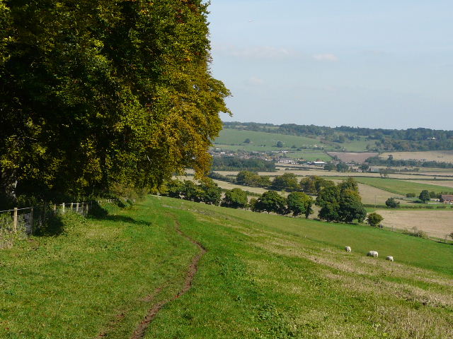
I followed the waymarked path through the farmyard, and continued straight on along a path through more sheep pastures. The path went gently downhill, soon alongside a narrow belt of beech trees on my left - these were already starting to show their splendid autumn colours. Ahead of me was a charming view over Dagnall and the Gade valley - I could pick out my route from Dagnall to Whipsnade Golf Club rising up the far side of the valley. As I followed the line of beech trees downhill, I heard a tree crash to the ground in the wooded slopes of part of Ashridge over to my right.
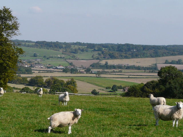
From near Ward's Hurst Farm, looking across the Gade Valley. The village is Dagnall. My walk would later follow the left of the small brown field, then the lane along the top of that field, and then go uphill along the left edge of the wood.
The path from Ward's Hurst Farm to Hog Hall
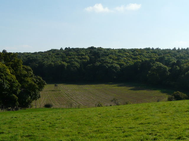
Looking right from the path to Hog Hall - I heard a large crash, presumably a tree falling in this wood
The path took me to Hog Hall (interesting name, but now just a bungalow as far as I can tell) where I continued steadily downhill along the hard-surfaced drive. Ahead of me I could see the White Lion carved into the steep slopes at Whipsnade Zoo, with Dunstable Downs further to the right. Ivinghoe Beacon and Galley Hill were to my left, and I could also see the wooded hill at Totternhoe where I’d walked earlier. It was a long but easy walk down the drive from Hog Hall. I spotted a Buzzard flying over a small coniferous wood to my left.
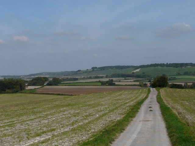
The start of the drive from Hog Hall. The white shape on the hillside is the White Lion at Whipsnade Zoo. Dunstable Downs are visible further left.
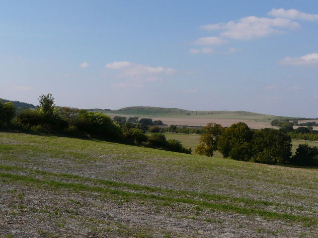
Ivinghoe Beacon and the long ridge of Gallows Hill from the drive from Hog Hall
Nearing the end of the drive from Hog Hall