Pete's Walks - Kensworth to Briden's Camp (part 1)
If you are considering walking this route yourself, please see my disclaimer. You may also like to see these notes about the maps and GPX files.
Google map of the walkDownload GPX file of the walk
I did this 16-mile circular walk on Saturday, 2nd May 2009, a beautiful warm and sunny Spring day. It was the first time that I'd walked from Kensworth to the intriguingly named hamlet of Briden's Camp, having only walked there from Studham Common before (see my Studham Common and Redbourn walk). To avoid repeating too much of that walk, I took a different route to Gaddesden Row (following the Hertfordshire Way from Roe End, which I'd only walked once before). The section from Briden's Camp to Flamstead was entirely new to me, and the path I took from Flamstead to Markyate was one that I hadn't walked for several years. To avoid a dull three-quarter mile walk through Kensworth, I finished the walk by following the lane from Kensworth Lynch to Church End and then going along Hollicks Lane and its adjacent footpath.
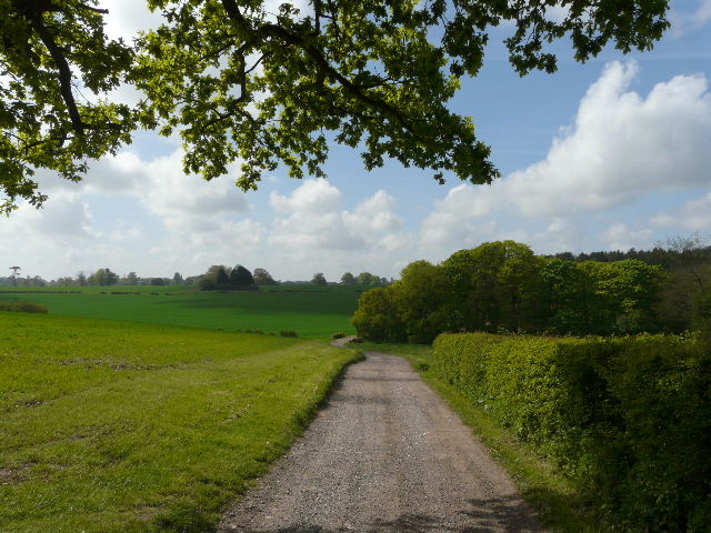
I left home about 9.50am, and took the very familiar route to Holywell. I followed the Whipsnade Road for a few hundred yards, then turned left by an ornate metal farm gate and crossed a very large pasture, continuing along an overgrown farm track beside a small meadow. This brought me to Dovehouse Lane by Shortgrove Manor farm, where I turned right. I turned right at the junction with Buckwood Lane for a few yards, before turning left onto a footpath. I went left at a junction after a few yards, and followed the path behind the gardens of Holywell. There was a lot of the garden variety of Yellow Archangel here (with the silver pattern on its leaves), but also some of the native version too. I also saw a lovely example of Red Campion, but that may have escaped from a garden too.
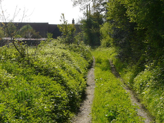
Nearing the end of the path from the Whipsnade Road to Dovehouse Lane.
The path behind the gardens of Holywell
I turned left through a small wood, and then crossed a huge arable field. Just after passing a small wood on my left, I spotted a Buzzard (I've seen them round here quite often). At the end of the path I went a few yards left along Byslips Road and then turned right, onto a path just inside the edge of Byslips Wood. As well as the fairly ubiquitous Bluebells and Greater Stitchwort, I saw some Wood Sorrel and the first Woodruff that I'd seen this year. At the end of the wood (the last one I'd walk through today, though I'd pass several more), I turned right along a field edge for a few yards, then turned left through a small triangle of trees to reach the 'public byway' from Studham Common to Roe End, a very pleasant hedge-lined green track. I saw an Orange Tip butterfly along here, the first of several I'd see today, and a slightly tatty looking Small Tortoiseshell. After about half a mile, where the track ended and the paved lane began, on the edge of the hamlet of Roe End, I turned right and followed a gravel farm track. As it descended into a small valley, I heard a Cuckoo singing from a small copse over to my left. The track continued uphill beside a wood on the right, then continued past paddocks to a track crossroads.
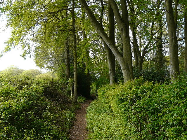
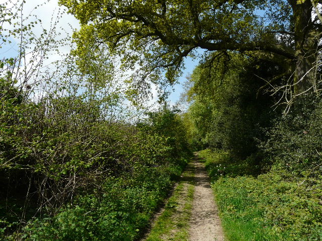
The path from Holywell to Byslips Road
The 'public byway' to Roe End
The farm track from Roe End
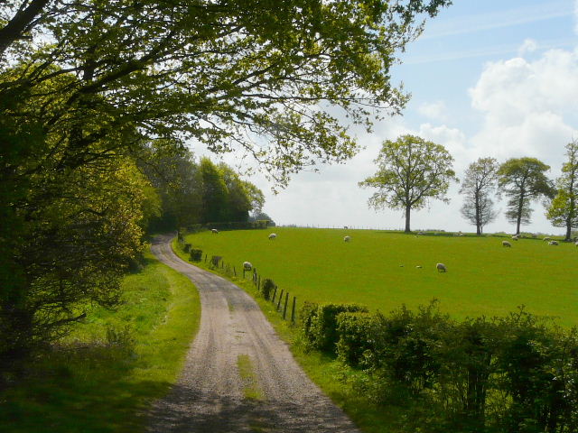
On many of my local walks I turn right here, to reach Great Bradwin's Wood and Studham Common, but today I turned left, continuing along the route of the Hertfordshire Way which I'd joined at Roe End. The track took me past a large pasture on the right where there were numerous sheep with their lambs, and then a little further on I came to the grand and imposing buildings of Beechwood House - built on the site of a nunnery dissolved by Henry VIII and with grounds laid out by Capability Brown in 1754, it has been a private school since 1964. I turned right onto a footpath which must have been rerouted since my map was printed - it followed the boundary of the schools playing fields to a gate in a corner, then went downhill through a large cattle pasture to a bend in a minor road and the start of a track called Dean Lane going right (the map showed the path starting closer to the School, going straight across the playing fields and ending a short distance along Dean Lane).
The track to Beechwood House
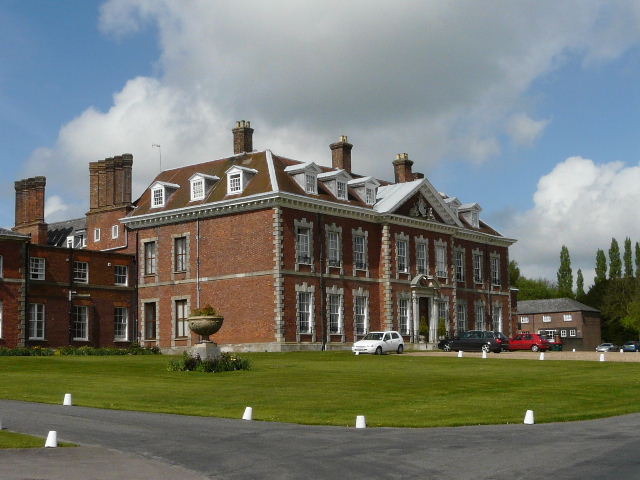
Beechwood House, now a private school
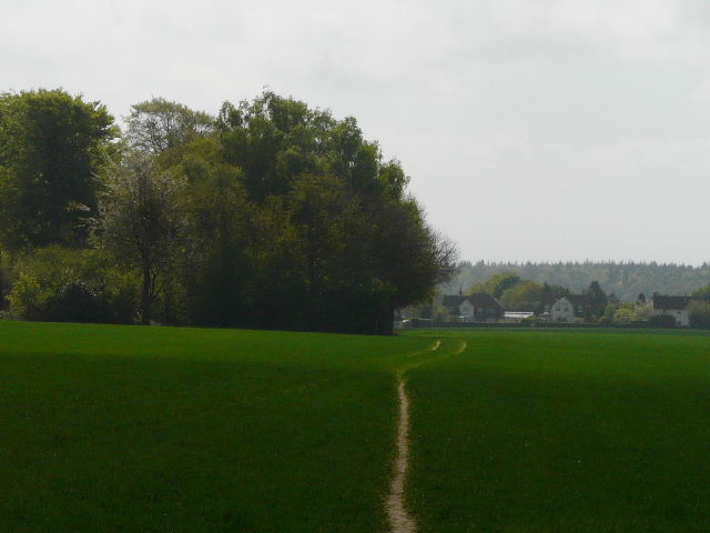
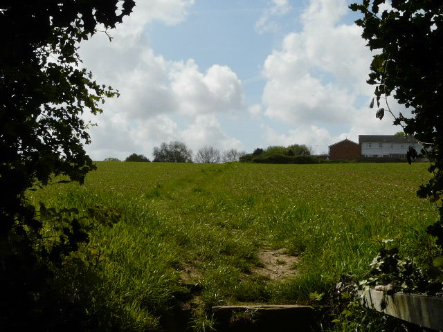
Large pasture between the school and Dean Lane
I followed Dean Lane for a few hundred yards, soon having Dean Wood on my right. I found lots of Ramsons along here, the first time I'd really seen this fairly common wildflower, and some more Woodruff. At a waymark post I turned left and followed a path along the headland between two arable fields, then passed through a children's playground to reach a road in Jockey End, the largest settlement in Gaddesden Row. Gaddesden Row is the name of both the village (part of the parish of Great Gaddesden) and the road, which runs for about two miles south-east from Jockey End towards Hemel Hempstead. I would cross the road again later today, but for now I followed it left for a few yards to the edge of Jockey End, where I turned right on a path that took me past some allotments (more Ramsons here) and then an overgrown orchard.
Dean Lane
The path from Dean Lane to Jockey End
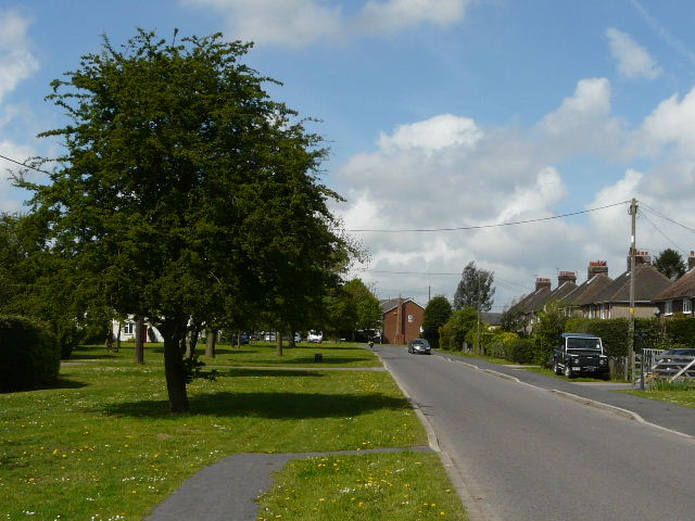
Jockey End, and the start of the road that gives Gaddesden Row its name
Over a stile I turned left, leaving the Hertfordshire Way and joining the route of my Studham Common and Redbourn walk. The path soon ran between wooden fences of what I therefore assumed were paddocks, though curiously in the last one on my left there were more sheep and lambs. Across a lane, the path continued along a headland between fields of oil-seed rape, passing one or two mature trees that were presumably the remnants of a grubbed out hedgerow. Over to my left was a tall white water tower. The path next took me through two small hay meadows, and then I followed a permissive path that was provided as an alternative to the official right-of-way to avoid two small enclosures by an old cottage. I had noticed some exotic wildfowl in a pond here before, and now there were signs up explaining what they were.
Path between paddocks, near Jockey End
Path near Gaddesden Row
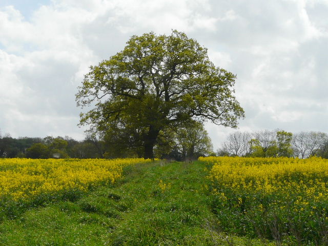
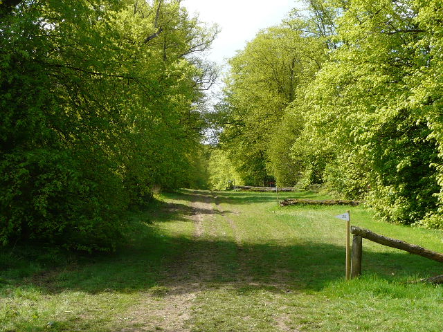
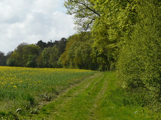
Across the drive of the cottage, the footpath followed the edge of another meadow, the path turned half-right and crossed the park surrounding Golden Parsonage, an impressive house but actually only one wing of the former grand building. I passed what I believe are some impressive Walnut trees here (Update 8/09/09 - Doh! A lady called Judith that I met in Markyate told me that they are in fact very old Sweet Chestnuts, and she is correct!). When I reached the drive to the house, I turned half-left (beside a hedge on my left) to resume the south-easterly direction I'd been following for a while, but then turned right after the next field corner. I was now on a wide grassy ride between tow lines of trees, with a few jumps for horses along it. After a while, the right-of-way left the ride, and followed the other side of the trees on the left, continuing for several hundred yards with a field of oil-seed rape on my left. Eventually I reached the drive to a farm, over to my right, where I turned left to reach a minor road on the edge of Briden's Camp. I'd love to know the origin of this small hamlet's name, but haven't been able to find anything on the internet to explain it. Was there an Iron-age hill fort here, perhaps, or an eighteenth century military training base? Or is it named after an effeminate landowner? :) I passed two road signs with the name as I walked along the road, which couldn't agree whether or not the name should contain an apostrophe (the map has it with one).

Path across the park at Golden Parsonage
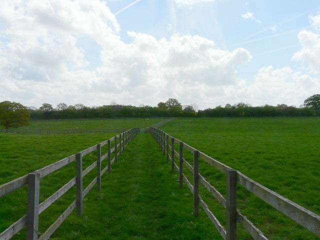
Ride near Golden Parsonage
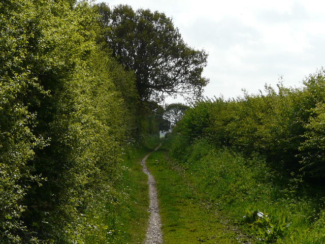
The path to Briden's Camp
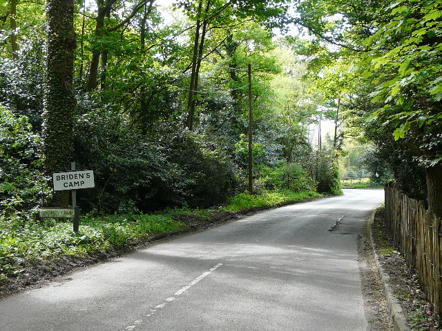
The road entering Briden's Camp