Pete's Walks - Studham Common and Redbourn (part 4)
Beyond the stubble field the path descended a green valley of horse paddocks, with a nice view ahead to Flamstead, with its church topped by a 'Hertfordshire Spike'. Sadly, the site of the large puddle at the bottom of the valley where I once met a little boy 'fishing for Alligators' had been filled in.
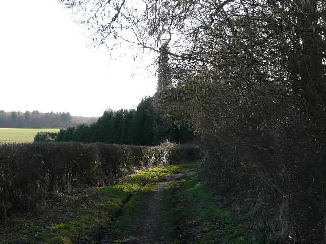
Partway up the opposite slope of the valley, the bridleway turned left, soon running between some old cottages to reach a road junction in the hamlet of Trowley Bottom (which adjoins Flamstead).
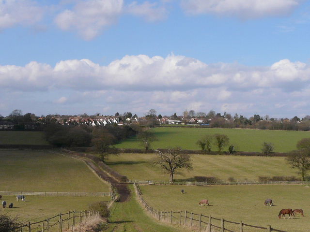
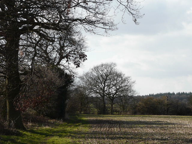
Looking towards Flamstead - the bridleway curves left to Trowley Bottom
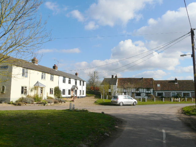
Cottages in Trowley Bottom
I took the lane ahead of me to reach a crossroads, where I continued ahead on a bridleway - I was now back on the route of my Kensworth-Redbourn walk, so this was very familiar to me. I spotted a Buzzard ahead of me - last time I walked this way I'd seen a Red Kite. The bridleway followed a valley bottom for some distance and ended at a bend in a lane. Here I stopped and sat on a log for a very late lunch - it was now about 2.20pm, and I'd already had a couple of extra Alpen bars to keep me going. This was probably my latest ever stop for lunch, there just hadn't really been anywhere else suitable (though I guess I could have detoured slightly to the park benches around the huge green in Redbourn).
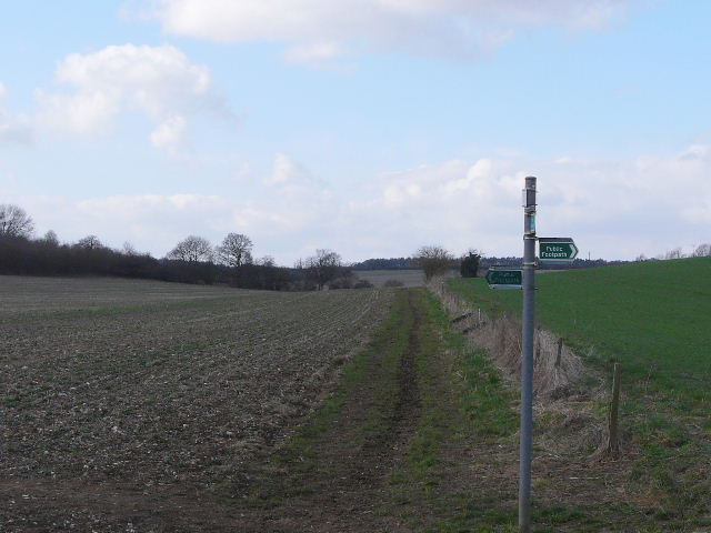
The bridleway from Trowley Bottom - the crossing footpath here is part of the Chiltern Way
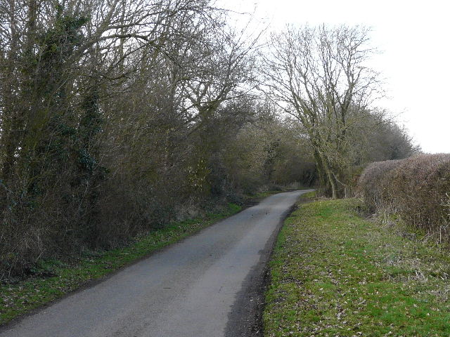
Suitably refreshed, I turned right and followed the lane uphill. At the top of the slope, I turned left at a crossroads and set off down Friendless Lane (an old favourite of mine). After a short distance I turned half-left on a path through Friendless Wood, turning right along the far side of the wood. The path continued onwards, parallel to the lane, following a hedgerow and then another small bit of woodland on my right. It then crossed a stubble field, and carried on through a gate and along a thick garden hedge on my left - there were three horses here in what are usually empty small grass fields. I then rejoined Friendless Lane shortly before it terminated at a junction on the edge of Cheverell's Green (a hamlet adjoining Markyate).
Friendless Lane
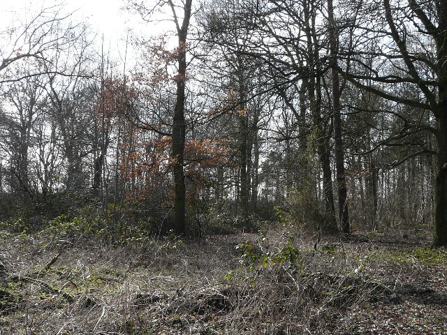
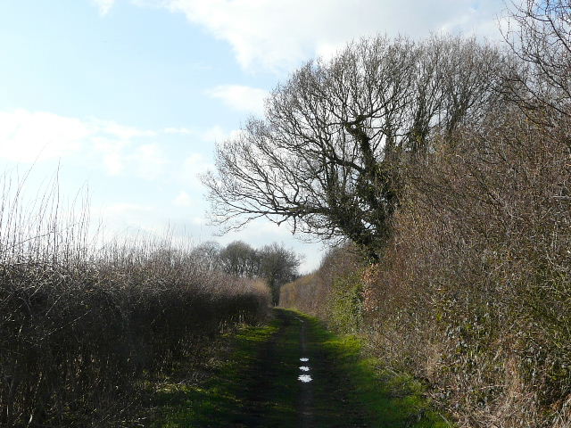
The path through Friendless Wood
The path parallel to Friendless Lane
The path parallel to Friendless Lane - the red is the coat on a horse in one of the paddocks I went through
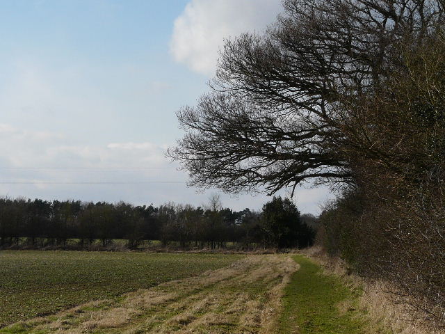
I went a short way right, then took a footpath going left. This went through an overgrown meadow and through a hedge gap, where I turned left. I now continued on the very familiar path from Markyate to Roe End, with attractive views ahead and to my right over rolling hills, dotted with several woods. In the field corner, I went through a gate and turned left. When I reached Roe End, I turned right along the lane. Where it ended, I took its continuation, an initially muddy track between hedges (I've always assumed it's a bridleway but its actually signposted as a 'public highway'). The muddy section was soon over and it was as usual a pleasant stretch along the flat and hedge-lined track. I had to remember to follow the track when it eventually turned left, rather than take the path going right (which is my usual way back to Kensworth).
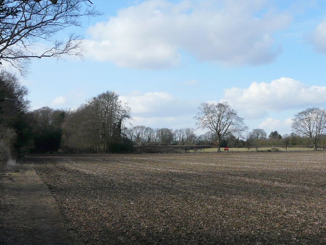
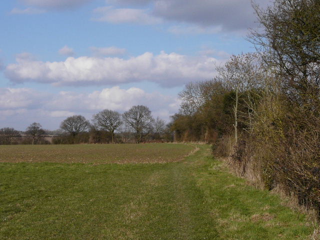
View from near Cheverell's Green, from the path to Roe End
The path to Roe End
Looking back along the path to Roe End
Roe End lane
The 'public highway', the continuation of Roe End lane.
The track continued onwards, soon going a short distance downhill beside a waterworks on the left. At the bottom of the valley I reached a corner of Studham Common (where I once spotted my first Bee Orchid!). I trudged uphill along the left edge of the common, meeting an elderly lady with a very friendly Spaniel, and turned right at the top to return to my car. It was now 3.45pm and, allowing 10 minutes for lunch, I'd walked the 17 miles in about six hours, which wasn't too bad considering I'd taken 170+ photos.
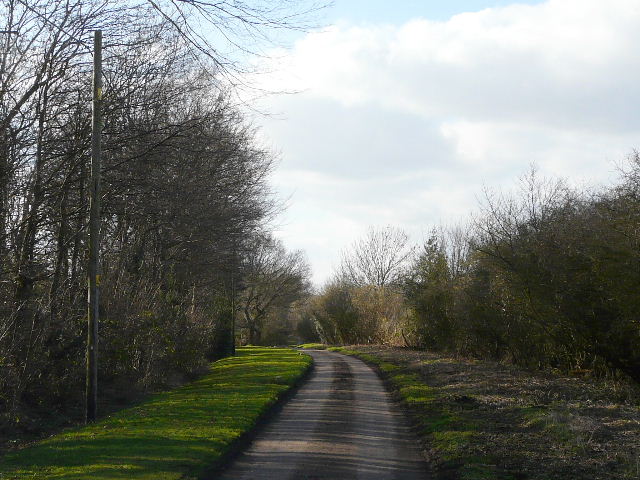
The 'public highway' approaching Studham Common
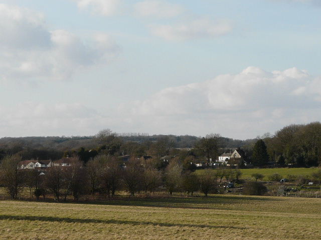
Studham, from the car park on Studham Common
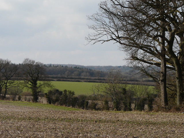
This was only the second time I'd done this walk, so a large part of it was quite fresh to me, though the start and end were a little over-familiar from other walks. The walk is one of the longer ones I do, which makes it slightly more of a physical challenge. It is a relatively flat route, with only one lengthy bit of uphill and that isn't very steep. That uphill is the start of a very pleasant section towards Cupid's Green, where there is little sign of habitation and some very nice views. The path from Redbourn to Trowley Bottom is good too, though it necessitates the less interesting section that crosses the M1 twice in quick succession. Overall it was not the best of walks, but a very enjoyable one nevertheless.