The track led me to Park Corner, where I left the Chiltern Way and crossed over the main road and took a lane through the small village or hamlet. This soon turned left, and a few yards further on I went right on a bridleway. This soon passed a wood on the right, with a hedge on my left, following the course of a small valley. Beyond the wood the track continued between hedges, the one on the right recently trimmed, but the one on the left containing mature trees and bushes, with branches overhanging the track. I stopped along here and sat on a log to eat my sandwiches at about 12.45pm.
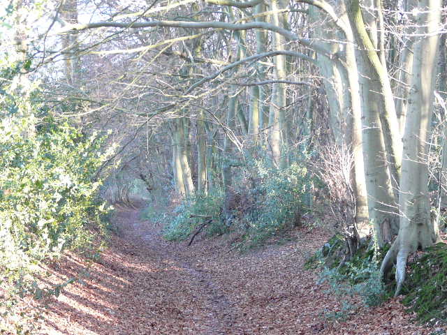
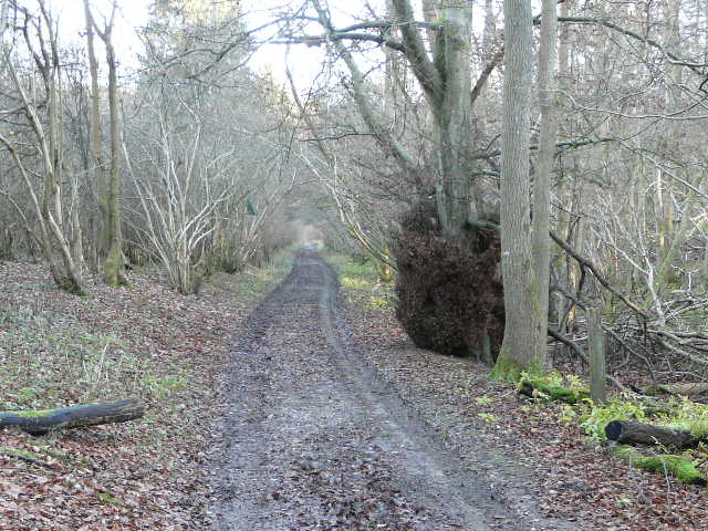
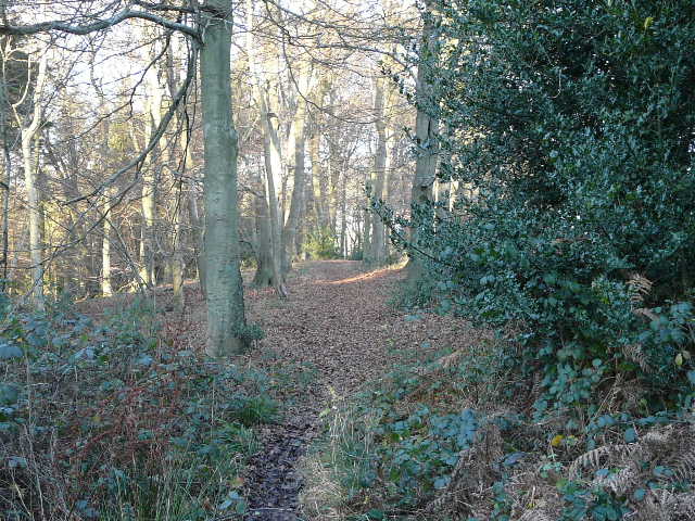
The bridleway from Park Corner
The bridleway from Park Corner
I soon passed a farm, and continued along the track, the hedges now trimmed on both sides. I came to a junction I knew well, where another track went left along the valley of Upper Bix Bottom, and two footpaths came to the same junction from either side - this is the point where the southern extension leaves the original route of the Chiltern Way.
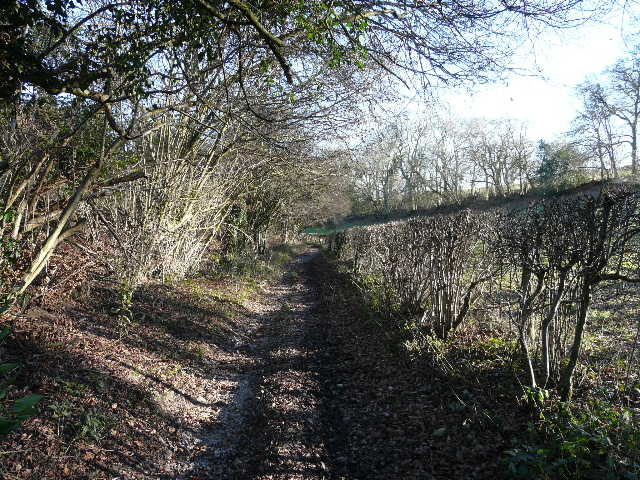
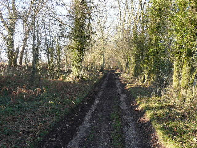
The track approaching the Chiltern Way junction in Upper Bix Bottom
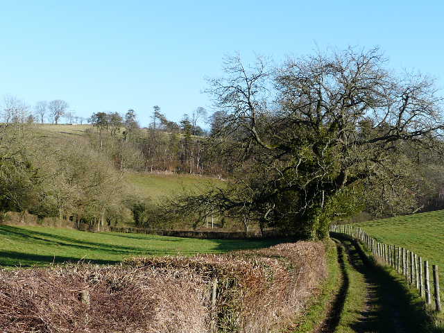
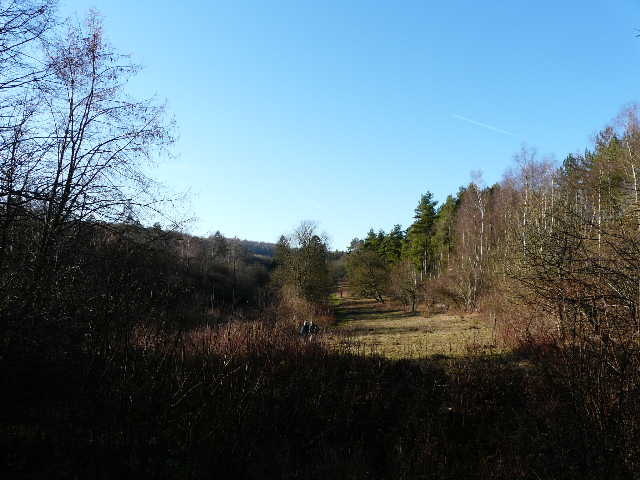
Looking west along the valley of Upper Bix Bottom, from the Chiltern Way junction
I continued ahead on the track I was on, soon entering the Warburg Nature Reserve, which I also went through about 10 days ago on my walk from Maidensgrove Common. I soon crossed the path I used that day, as the track continued through what seemed like mainly hazel.
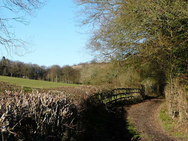
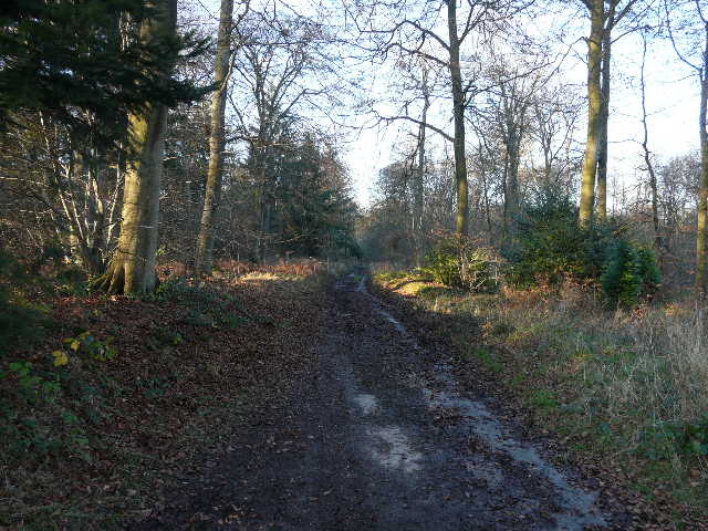
The track through the Warburg Nature Reserve
After some distance I reached the visitor centre and car park for the reserve, and a few yards further on I turned left onto a footpath. This climbed fairly steeply through the trees beside a fence (I photographed a squirrel on one of the fence posts) to reach Maidensgrove. Here I joined the route of the Oxfordshire Way, which I’d follow north for most of the rest of this walk (for just a few yards here I was also on the route of the Chiltern Way again). I went a few yards left along a track to where a lane ended near Lodge Farm. I took a path almost opposite, starting beside a cottage.
Looking west across the Warburg Nature Reserve, from the path to Maidensgrove
The path continued to the left of a field, then crossed part of the field and went through a wood to a lane (between Maidensgrove and Stonor, downhill to my right). It continued through the wood on the other side of the lane, soon descending into a deep valley (curiously I thought this a very long and exceptionally steep descent for the Chilterns, but looking at the contours on the map it wasn’t anything much at all).
Looking south from the field near Maidensgrove
I then followed a right-hand hedge through a field of rough grass, with pleasant views to either side, and reached the end of a lane which led me past some houses and the church in Pishill. There were again nice views along the valley to Stonor - I could see the parkland around Stonor House but not the house itself.
The path heading towards Pishill
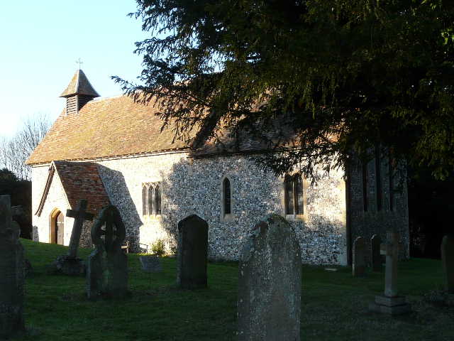
Pishill church
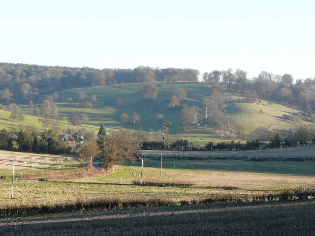
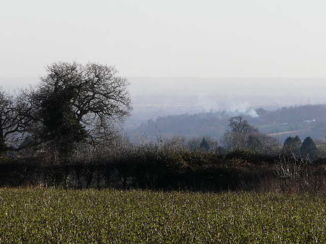
View from near Pishill Church, towards Stonor and Stonor Park
At the end of the lane, I turned right along the road for a few yards before turning left onto a path (where the road turned right). This went along another valley bottom across a wide and open field. I saw and heard a Red Kite in a tree at the top of the slope on my right.
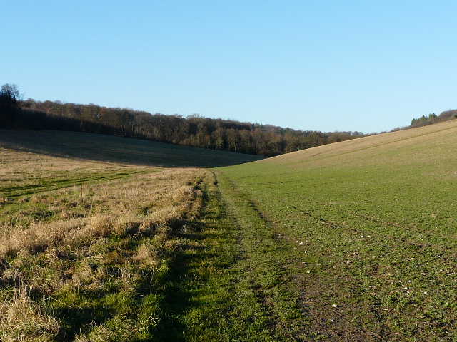
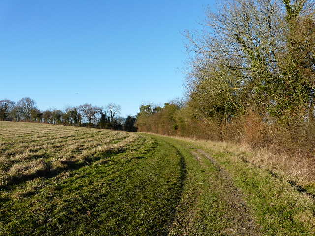
The long path through a valley from Pishill
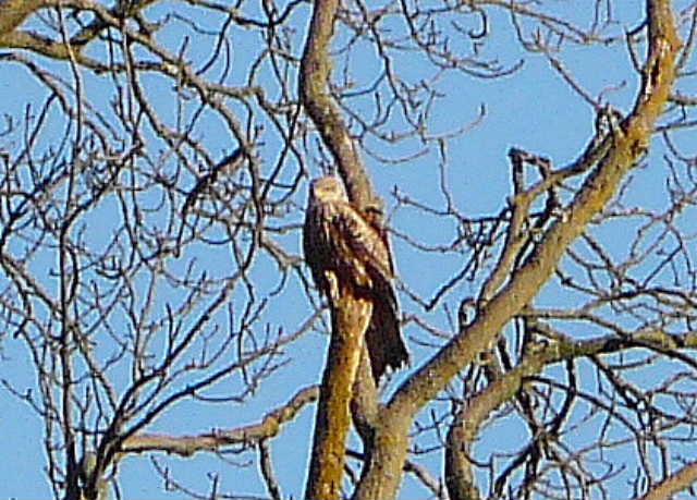
A heavily 'cropped' photo of a Red Kite in a distant tree
After about half a mile I reached College Wood, where the path climbed at an angle up the hillside on my right. It then ran along near the edge of the wood. Just past a junction where the Chiltern Way came in from my left, I went over a stile to leave the wood and crossed a small pasture containing about half-a-dozen cows.
The path through College Wood
I then turned left, leaving the route of both the Oxfordshire Way and Chiltern Way, and followed a hedge-lined track called Hollandridge Lane. This soon passed through some more beech woods, and eventually reached the village of Christmas Common. At the end of the track, now surfaced, I continued roughly ahead at a couple of minor road junctions, then turned left to return to the car park.
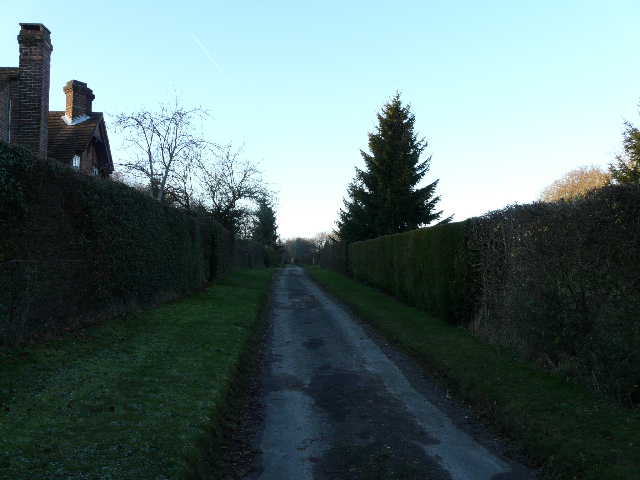
Hollandridge Lane
Hollandridge Lane
Hollandridge Lane entering Christmas Common
This was a very enjoyable walk, on a really nice winter’s day. It had been bright and sunny all day, and the low temperatures were no problem at all as I was warmly wrapped up. It’s days like this that make me realise just how fortunate I am!