Pete's Walks - Watlington Hill and Russell's Water (page 2 of 5)
The attractive path gradually levelled out as it progressed through Pishillbury Wood, until I eventually reached a junction with a bridleway, part of the Oxfordshire Way. The OS map seems to indicate that this junction is a path crossroads, but in fact I had to go about 100 yards left and then turn right, soon leaving the wood and joining a private road through part of the village of Maidensgrove. On reaching a pond on the right, I turned right to reach a corner of the huge grassy expanse of Maidensgrove Common.
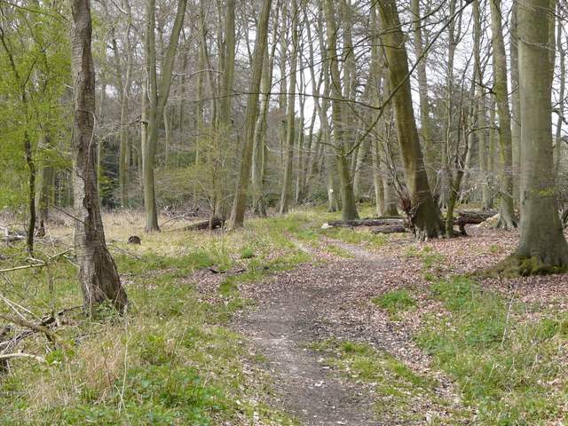
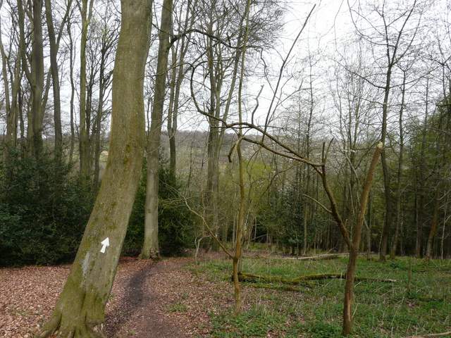
The path continuing through Pishillbury Wood (just before it reaches the Oxfordshire Way)
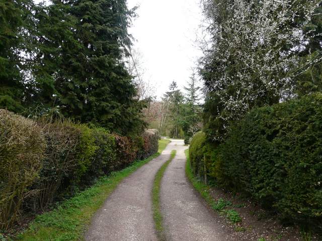
The private road through part of Maidensgrove
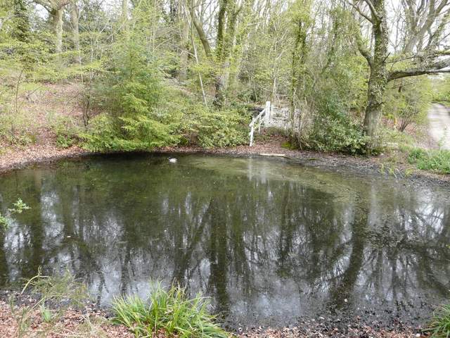
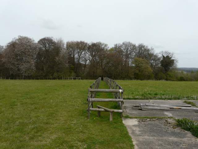
Pond by a corner of Maidensgrove Common
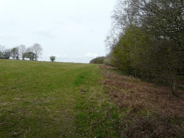
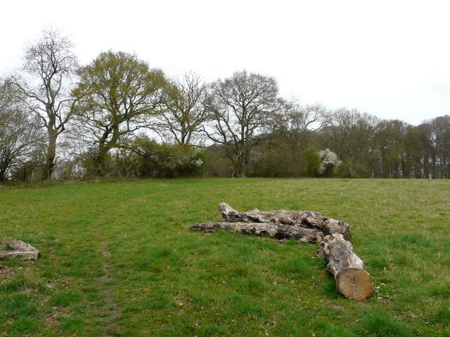
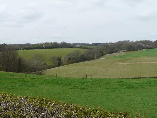
A corner of Maidensgrove Common
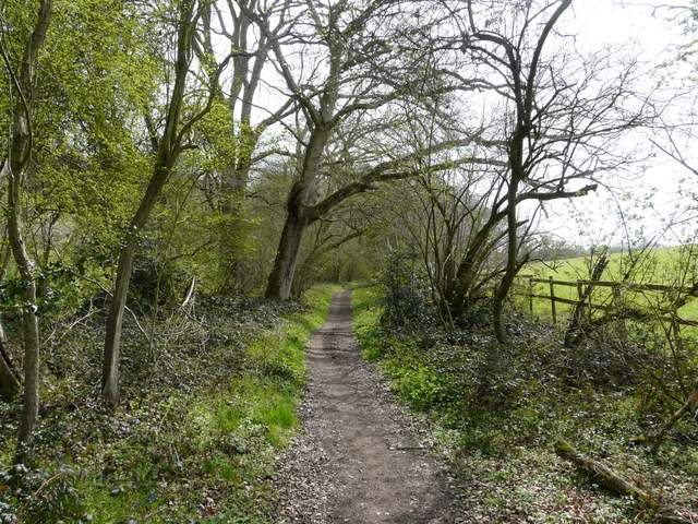
I followed the right-hand edge of the common for a hundred yards or so, then turned right along a gravel track to a farm complex. The path bore slightly left here, running between wooden fences with paddocks either side. On reaching Doyley Wood, the path continued steadily downhill to a valley bottom, then started up the opposite slope. The edge of the wood was now close by on my left. Towards the top of the slope the path left the wood, and followed the left-hand boundary of a meadow, with views towards Stonor Park to my right.
The path from Maidensgrove Farm to Doyley Wood
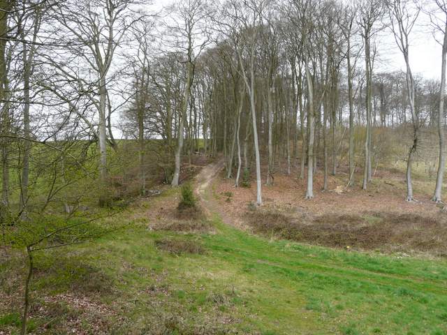
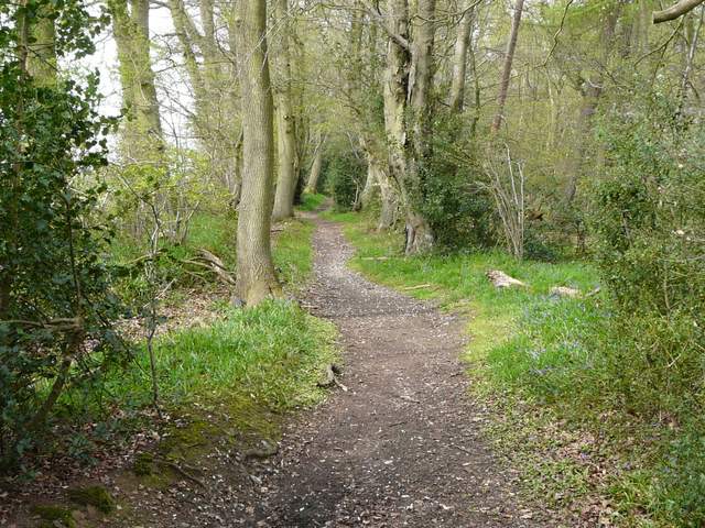
The footpath descending northwest through Doyley Wood
The bottom of the valley in Doyley Wood
Going back uphill through Doyley Wood
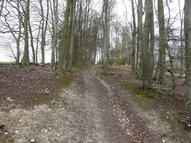
The path continuing north from Doyley Wood
Beyond the meadow I turned left on a bridleway running through trees and then between hedges to reach a farm on the edge of Russell's Water Common. Here I went slightly wrong - since leaving the road on the edge of Stonor I'd been walking the same route as a walk I did a month ago (but in the opposite direction) and here I stayed on that route, following the edge of the common round to my right. I was halfway round this part of the common, when I realised I should have actually gone straight on through the centre of the common and then turned left. So I then had to turn left and cut straight across the common (aiming about a hundred yards right of where the trees started on the far side of the common), to reach the short track that led into Russell's Water, passing the pond that gives the village its name.
The bridleway going west to the northern end of Russell's Water Common
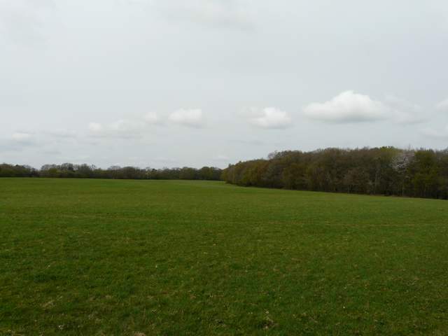
Russell's Water Common
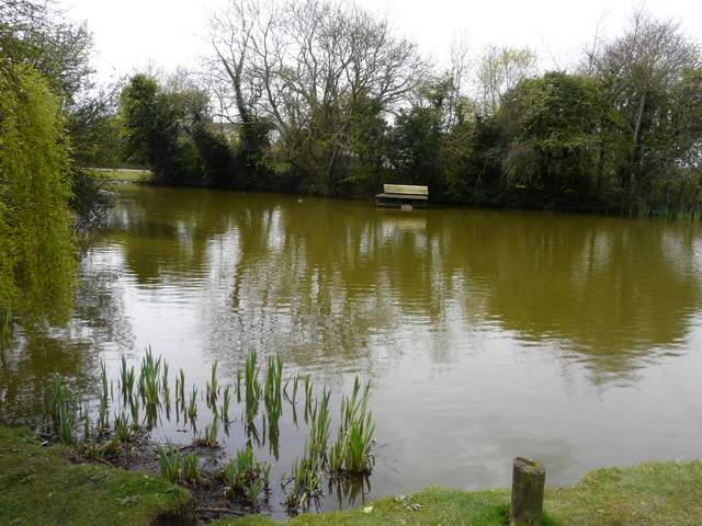
The pond that gives Russell's Water its name
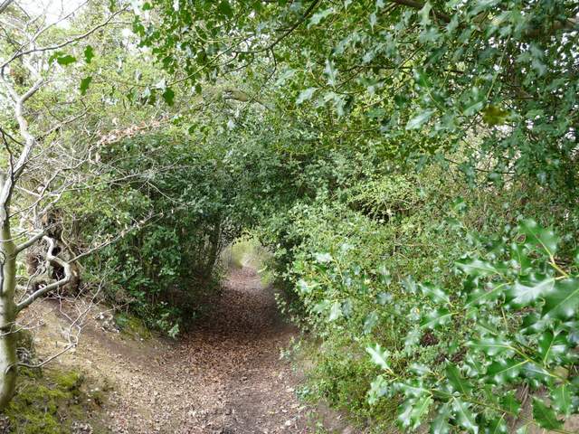
On reaching the lane through the village I turned left, following the lane round a bend and then taking a bridleway on the right (I was now briefly on another section of the Chiltern Way). This was soon dropping steadily downhill, the overhanging hedges either side often forming a 'green tunnel' effect. I spotted some Yellow Archangel here, another plant I look forward to seeing emerge at this time of year. At the bottom of the slope I turned left onto another bridleway, which followed a valley bottom. There were hedges either side and I saw several large patches of lovely Wood Anemones ("Wooden enemies" as someone I know calls them).
View northwest from near the start of the bridleway from Russell's Water
The bridleway from Russell's Water
The bridleway along the valley bottom, heading to the path junction at Upper Bix Bottom