Pete's Walks- Hawridge, Chartridge End, Great Hivings (page 2 of 4)
If you are considering walking this route yourself, please see my disclaimer. You may also like to see these notes about the maps and GPX files.
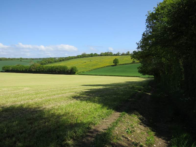
I turned left and followed the road past a few houses and a couple of farms - I assume this hamlet is called Chartridge End, as that is the name of one of the farms and it is at the north-western end of Chartridge, about a mile from the main part of the village. After following the road for about half a mile, just before reaching a large house called Chartridge Lodge, I turned left onto a public bridleway running along a track called Ashotts Lane. To begin with there were hedges either side, but after some distance, as I passed a white house on my right, the view opened up on my left. I could see along a valley to where I'd crossed it a short while before, and on towards some large farm buildings back at Dundridge Manor. The bridleway now dropped downhill into the valley - on the opposite hillside I could see two meadows that were yellow with buttercups.
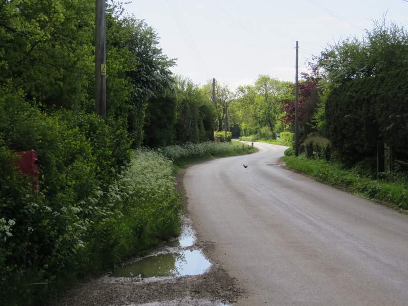
The minor road through Chartridge - I assume this first bit of the village is called Chartridge End, as that is the name of a farm here
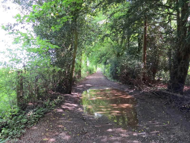
The start of Ashotts LAne
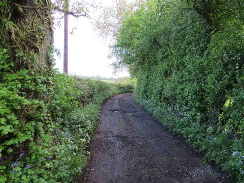
Ashotts Lane
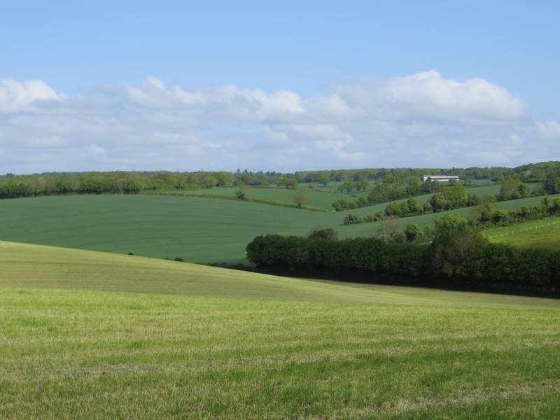
Looking left from Ashotts Lane, taken from near the white house seen in an earlier photo (that was taken from the gap in the hedge in the valley bottom) - the farm buildings top right are at Dundridge Manor
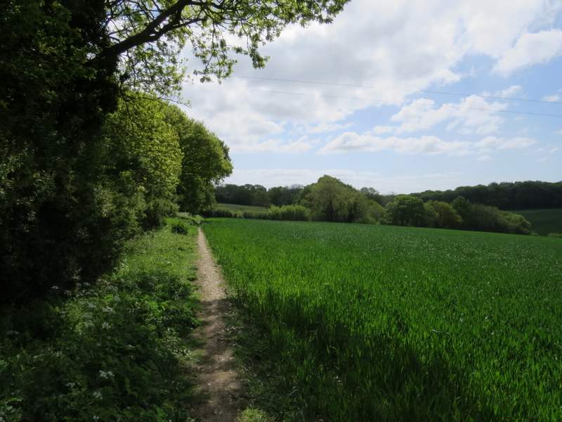
Ashotts Lane continuing down into the valley - note the meadows that are yellow with buttercups
The bridleway continued up the opposite side of the valley, still following a track with a hedgerow on my right. I then passed a small wood on my right. Where it ended, the bridleway turned slightly left but I chose to take a footpath going straight on. This ran through a rather overgrown meadow with a mature hedgerow on my left, then continued through a couple of paddocks to reach a minor road. Here I went left, following the road as it soon turned right. When the road then turned left, I went straight on along another minor road. I then turned right along a footpath starting near Bank Farm.
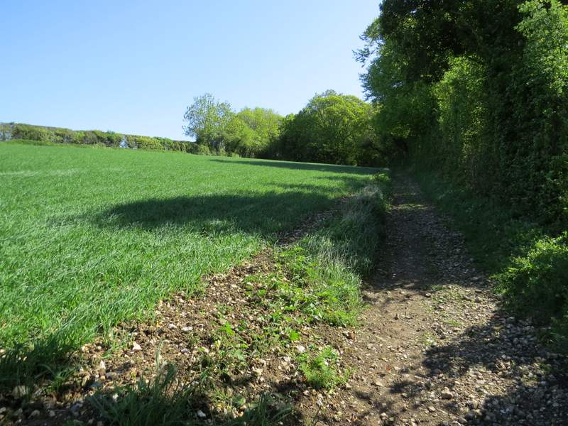
Ashotts Lane continuing up the other side of the valley
The footpath that continues almost parallel to Ashotts Lane
The footpath that continues almost parallel to Ashotts Lane
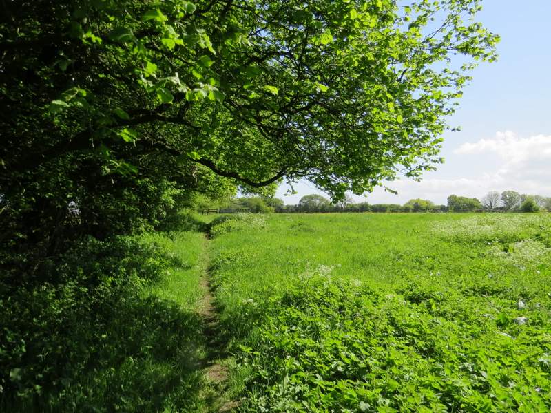
I would now be following field paths south-eastwards for over a mile and a half to reach Captain's Wood (where I would finally join a path I'd walked before), and this proved to be a particularly enjoyable section of the walk. I started by following a tall hedge on my left past some stable or farm buildings. Beyond this I passed a 'manège' where a couple of children were having a riding lesson. The path passed through a paddock, then crossed a corn field, passing a lone tree in the middle of the field. It then continued along the left edge of a larger cornfield, with pleasant views of the valley on my right.
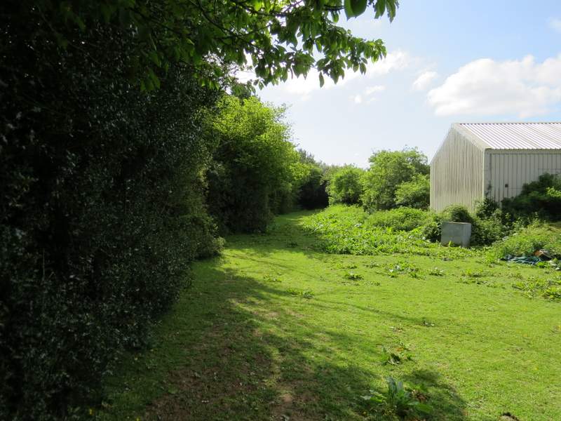
The start of the footpath from Bank Farm southeast to Captain's Wood
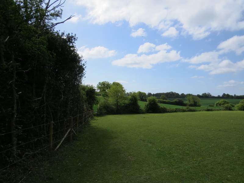
The footpath from Bank Farm southeast to Captain's Wood, in a paddock at Bank Farm
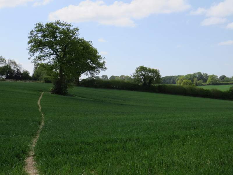
The footpath from Bank Farm southeast to Captain's Wood, in the first corn field
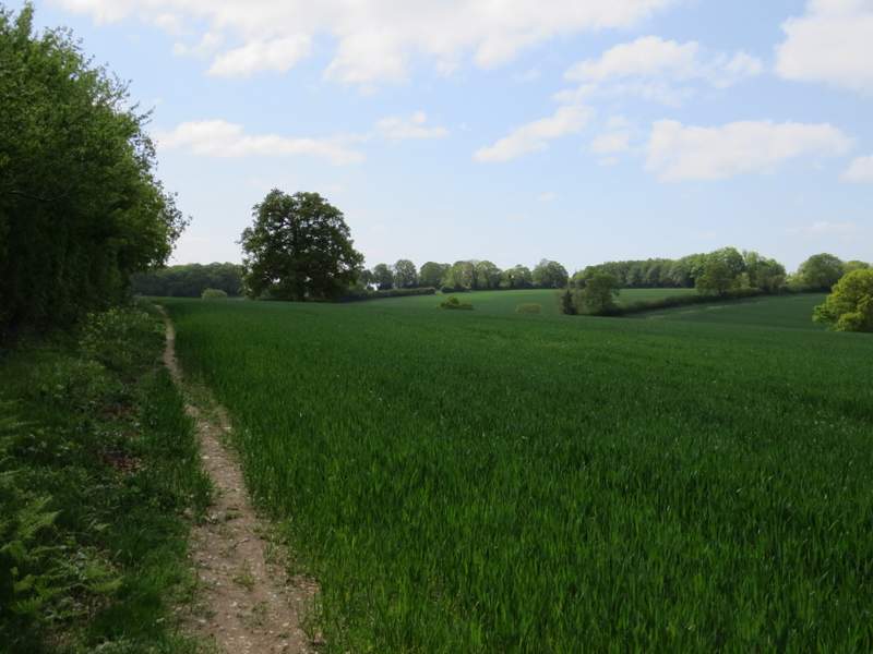
The footpath from Bank Farm southeast to Captain's Wood
The footpath from Bank Farm southeast to Captain's Wood
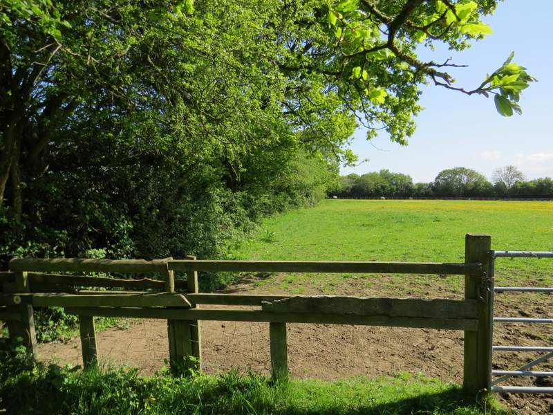
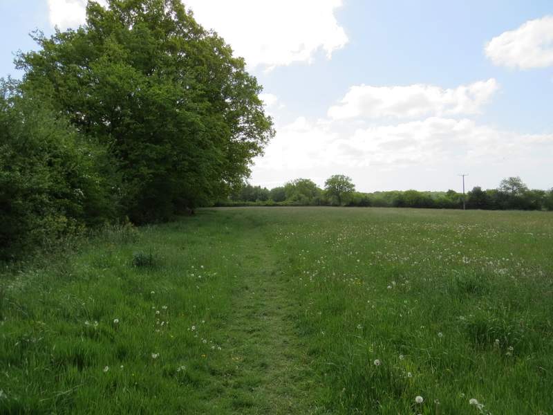
The path then crossed a meadow, again one yellow with buttercups. It then went half-left across a similar meadow, before turning back southeast once more through a couple of paddocks (there was a solitary horse in the second one). It then carried on through another meadow, this one with longer grass than the previous ones and without the buttercups.
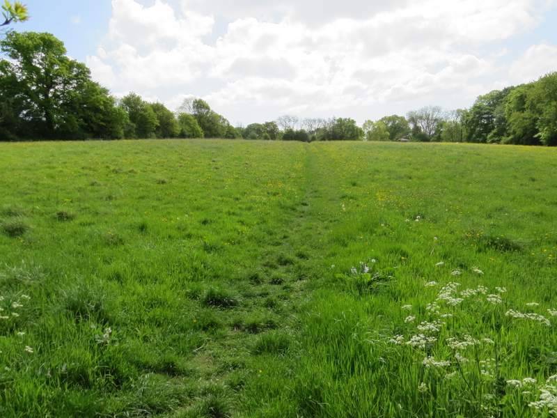
The footpath from Bank Farm southeast to Captain's Wood, in the first meadow
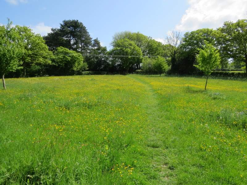
The footpath from Bank Farm southeast to Captain's Wood, in the second meadow
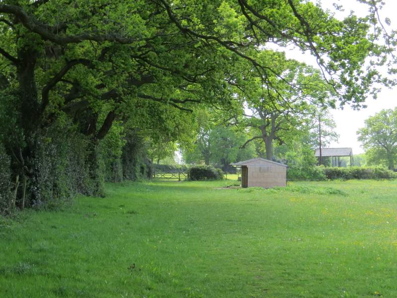
The footpath from Bank Farm southeast to Captain's Wood, in a large paddock
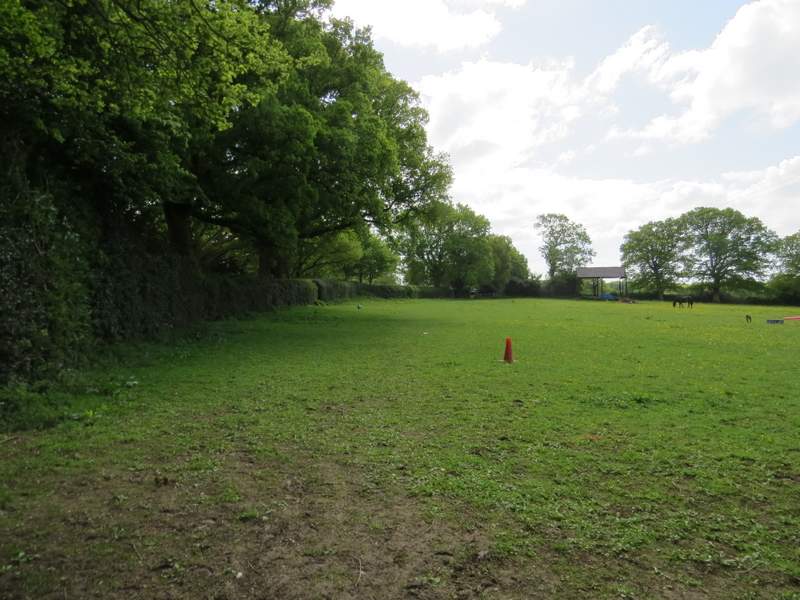
The footpath from Bank Farm southeast to Captain's Wood, in another large paddock (complete with resident)
The footpath from Bank Farm southeast to Captain's Wood