Pete's Walks - Cholesbury and Herberts Hole (page 1 of 6)
If you are considering walking this route yourself, please see my disclaimer. You may also like to see these notes about the maps and GPX files.
I did this circular walk of about 9.9 miles on Saturday, 13th January, 2024. It was a new route for me, and almost half of it was on paths I'd not walked before (plus there were two paths I'd only walked in the opposite direction once or twice).
This was the fourth walk I'd done from Cholesbury recently, this time exploring the area to the south. This part of the Chilterns has an unusually high number of public rights of way, and even after this walk I have probably walked fewer than half of them. The particular area I walked today consists of a number of ridges separated by valleys, all running more or less parallel from northeast to southwest, with villages strung out along the ridges. So the first half of this route was 'down, up, short walk through village' repeated four times (for Bellingdon, Asheridge, Chartridge and part of Pednor), followed by a final down into the valley called Herberts Hole. The return to Cholesbury wasn't quite so repetitive, and the ups and downs were shorter (because I was closer to where the valleys begin in the northeast and so they were smaller).
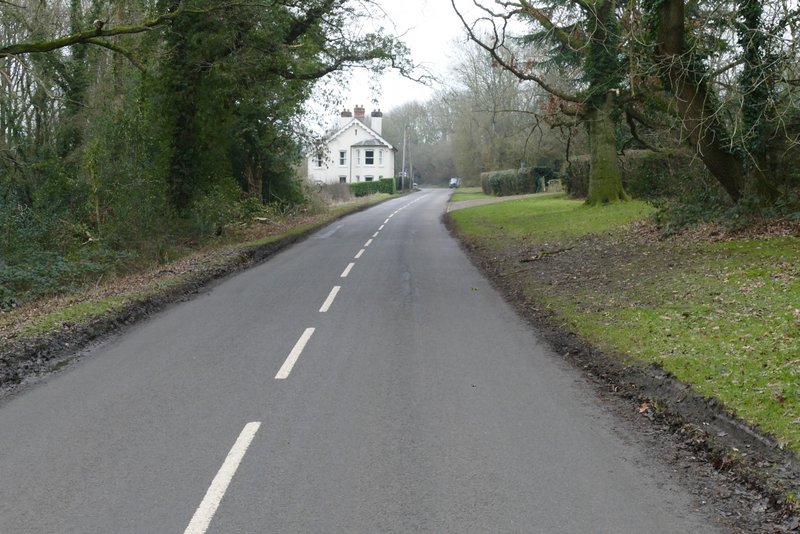
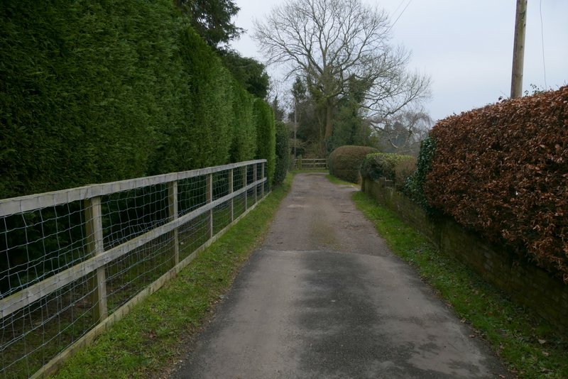
I parked by the cricket ground in Cholesbury (Grid Reference SP933071), and started walking about 9.30am. I walked along the road that runs through Cholesbury and the adjoining village of Hawridge, with the cricket pitch and then the common on my left. Near to where there was a road junction I turned left across the common, and went through a gap in the trees to reach the bottom of the common, where I turned right along a footpath. As I followed the path along a valley bottom, at some point the common changed from Cholesbury Common to Hawridge Common.
. 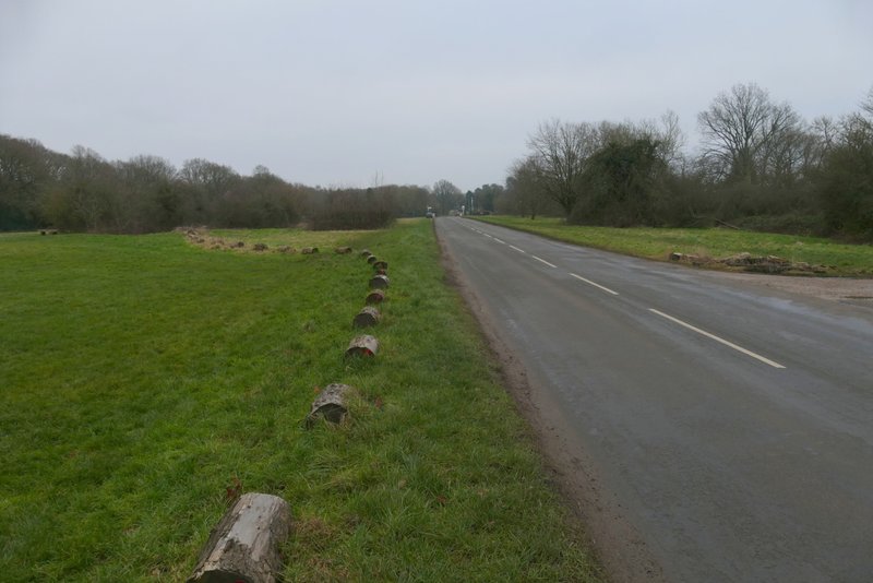
The road through Cholesbury and Hawridge
The path after I turned left on Cholesbury Common
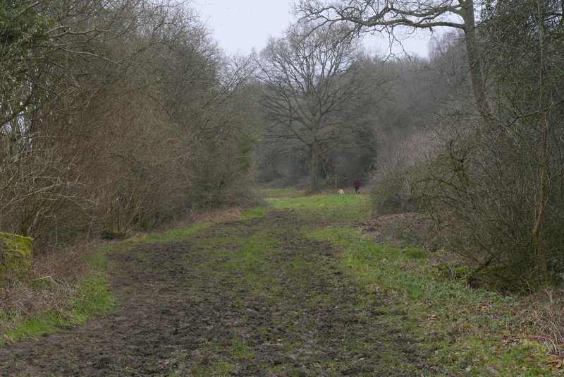
Cholesbury or Hawridge Common
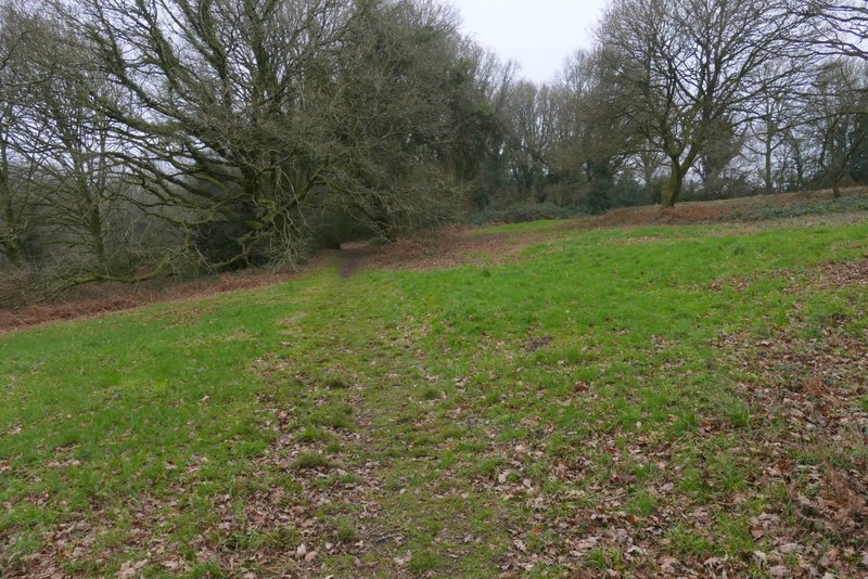
Hawridge Common
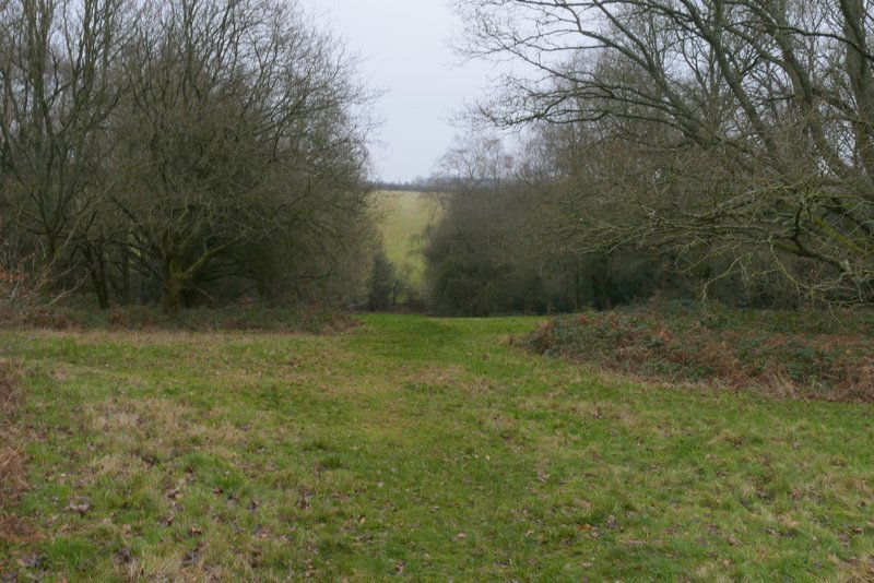
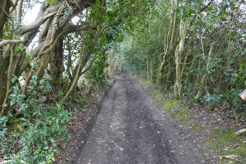
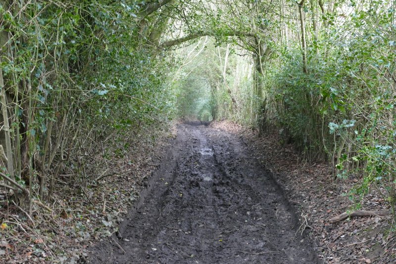
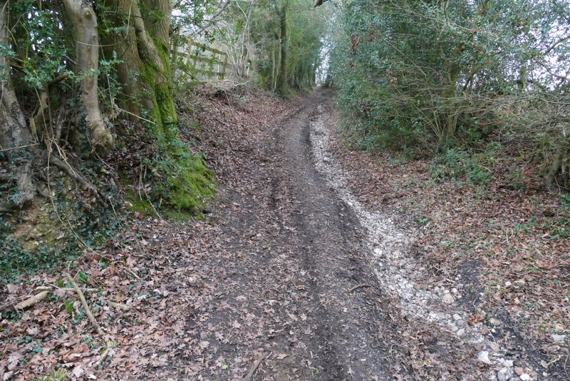
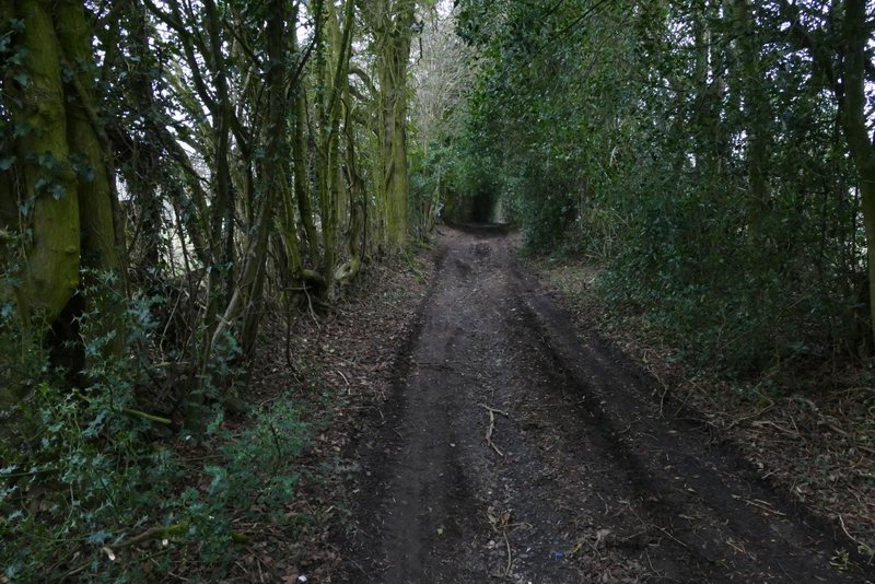
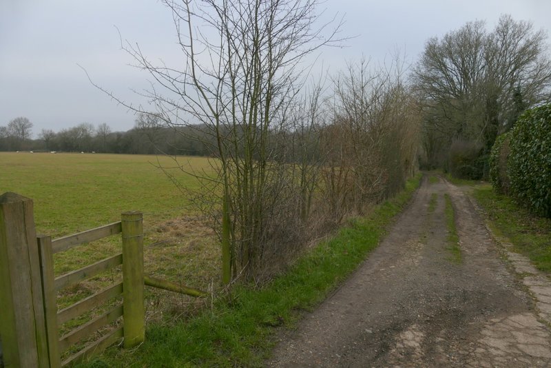
After a few hundred yards I reached a lane, where I went a few yards left and then took path on the other side that continued along the valley bottom with the common sloping up to my right. The common here was trees and bushes, then there was a small more open area. Just after this ended, I took a path forking right (I didn't see a sign or waymark). This was the start of a two and a half mile section of paths I'd never walked before. The path rose gently up through the common for several hundred yards, until it reached a lane. I turned right, to where the lane immediately ended at a junction with the road through Hawridge, and then turned left along the road.
Hawridge Common, after crossing the lane
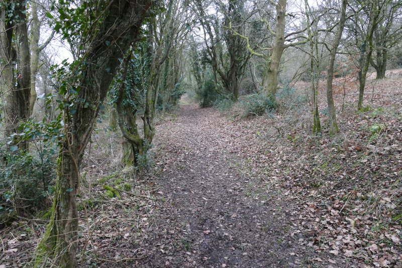
The path after I forked right from the bottom of Hawridge Common
Further along the same path
Further along the same path
The road through Hawridge, after I turned left
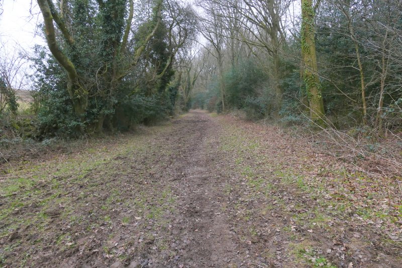
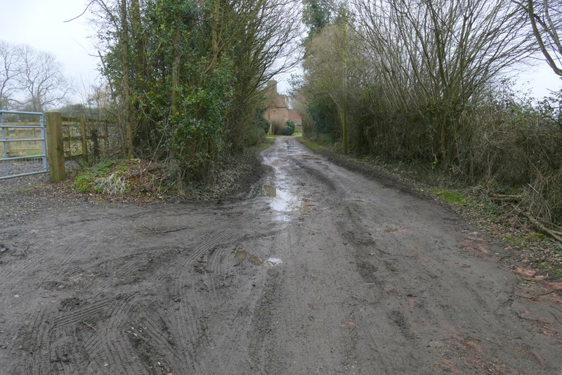
After one or two hundred yards, I turned right into a track name Hawridge Lane. I didn't see a sign saying Hawridge Lane, but there was a green fingerpost saying that it was a 'public right of way' (the OS map shows it as an 'other route with public access'). It ran between old hedgerows either side, and after a while dropped down into a valley (White Hawridge Bottom, I think - at least that's the name shown on the OS map a little further down the valley). It then climbed fairly gently up the other side of the valley. Near the top of the slope there were a variety of pigs in enclosures on the other side of the hedge to my left, and I soon passed Animal Farm (at least it used to have a sign saying that) on that side. I then reached the end of Hawridge Lane in Bellingdon.
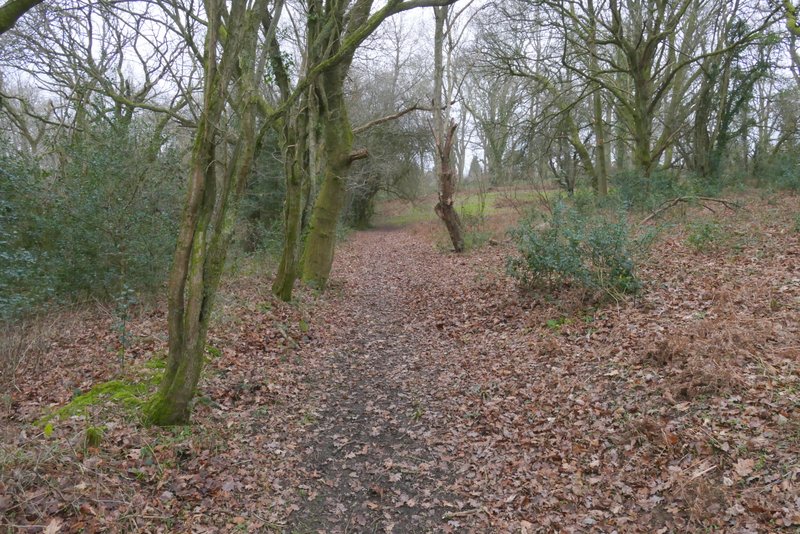
Near the start of Hawridge Lane
Hawridge Lane
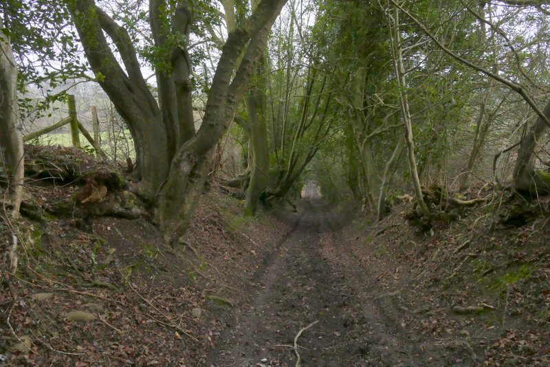
Hawridge Lane
Hawridge Lane, climbing the opposite side of the valley
Hawridge Lane, near Animal Farm
Hawridge Lane, entering Bellingdon
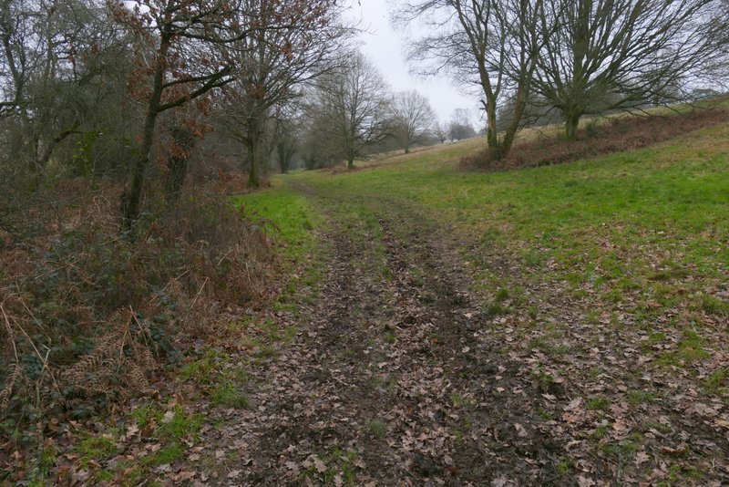
I turned left down the road through Bellingdon for one or two hundred yards and then turned right down Two Gates Lane. After a while this turned left and then quickly turned right, becoming a track and leaving the houses of Bellingdon behind. The track then gradually descended into another valley. Just before the valley bottom, the track turned left, but the public footpath continued through some bushes and then rose up the opposite side of the valley beside a hedgerow on my left.
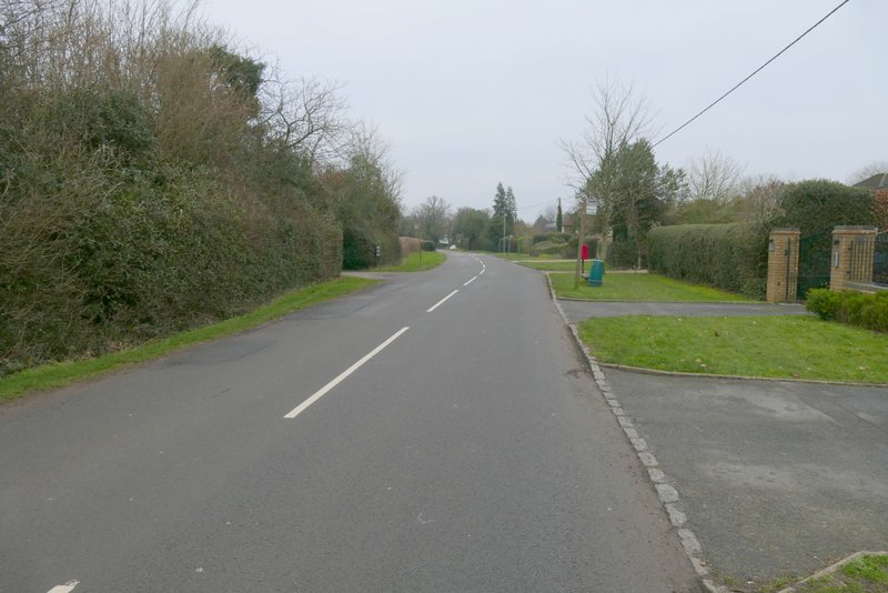
The road through Bellingdon
Two Gates Lane
Two Gates Lane (or its continuation)
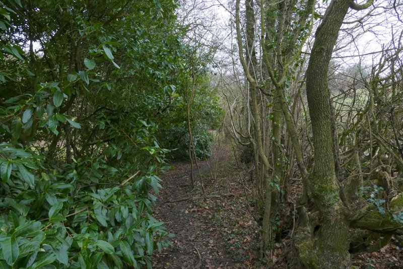
The path from Bellingdon, at the bottom of the valley
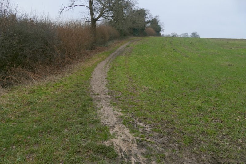
The path from Bellingdon, rising up the other side of the valley