Pete's Walks - Wendover Woods and Wigginton
If you are considering walking this route yourself, please see my disclaimer. You may also like to see these notes about the maps and GPX files.
This was a repeat of Walk 5 of my Chiltern Chain Walk. If you are interested in walking this route yourself, click here to see the route description (but only if you have already read my disclaimer and notes regarding route descriptions).
I did this walk on Friday, 27th March 2009. It is a very nice walk that I always enjoy, about 12.5 miles long. After the fine weather I had for the three walks I did the previous week, sadly the weather had turned wintry again - grey, cold and windy. I had to return to wearing my winter woollies again - coat, warm trousers, woollen hat and mitts.
I didn’t take many photos - the walk is already on my web site (twice!) and the grey conditions didn’t do the scenery justice. I spotted Wood Anemones and some Primroses, and saw my first Wood Sorrel, Cowslip and Bluebell of the year. I heard Buzzards in a couple of places, but otherwise there were no bird or mammal sightings to report.
The route initially took me through Wendover Woods, over Boddington Hill and then down Hale Lane to the edge of Wendover. I then headed gradually back uphill along a farm track called Hogtrough Lane.
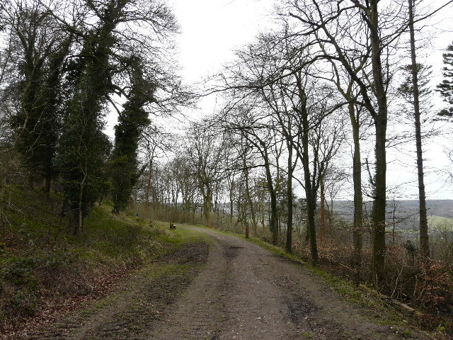
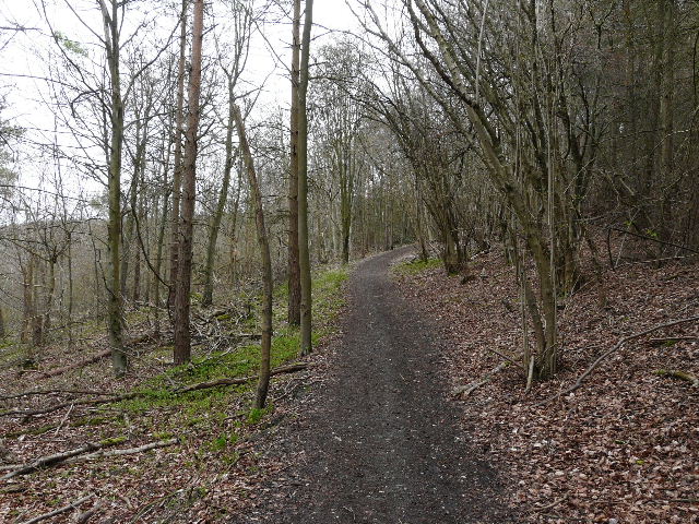
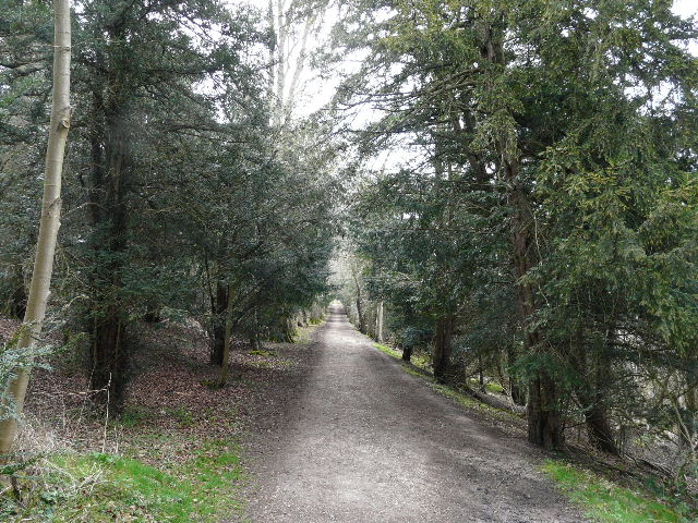
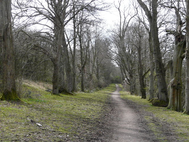
Path through Wendover Woods
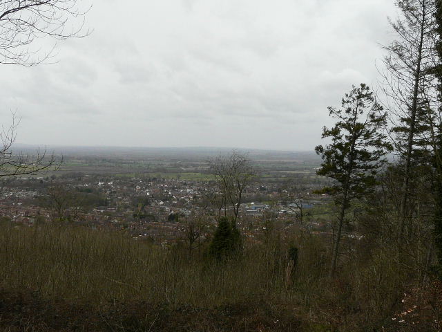
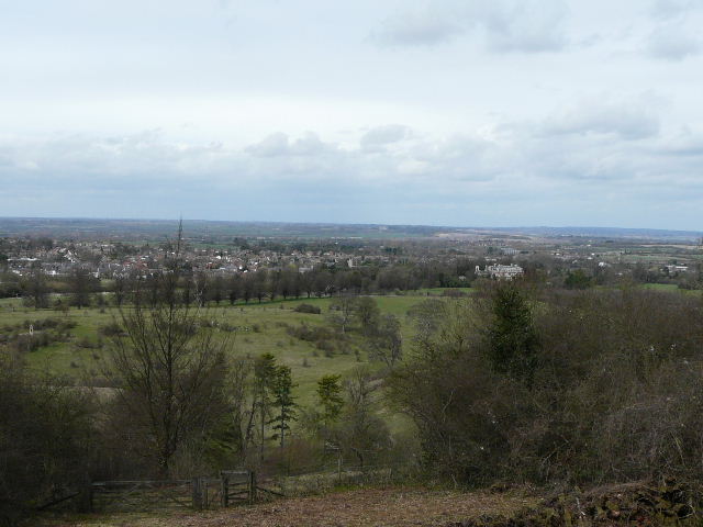
View over Wendover and the Vale of Aylesbury from Wendover Woods - note the very grey weather conditions.
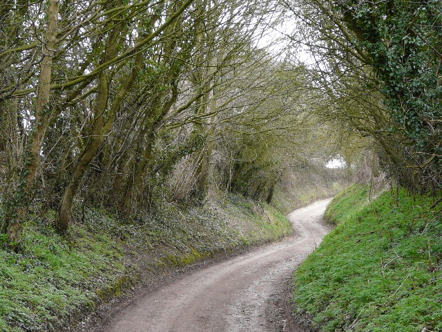
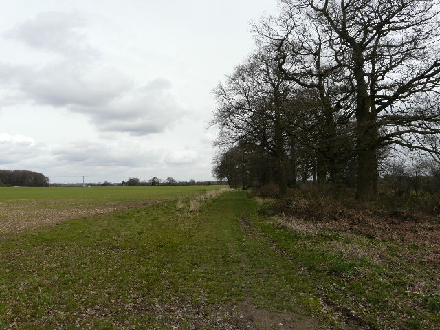
Hogtrough Lane
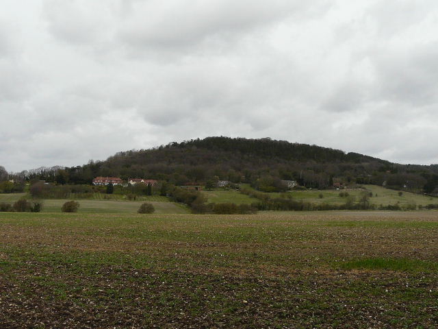
Looking back from Hogtrough Lane to Boddington Hill (part of Wendover Woods)
From the end of Hogtrough Lane, I followed the Ridgeway path as it rose steeply through Barn Wood. The rest of the route to Wigginton was then more or less along the line of the ancient earthwork of Grim's Ditch.
The Ridgeway national trail running through Barn Wood
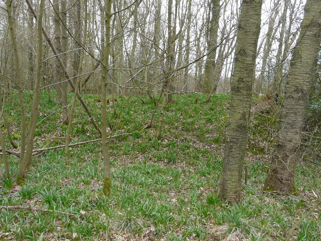
Grim's Ditch, covered in the young shoots of Bluebells
Path alongside Grim's Ditch
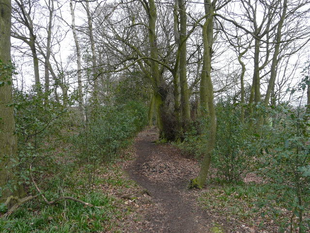
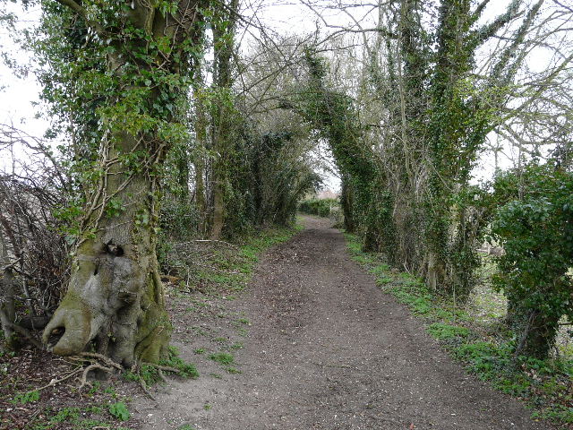
The path to Wigginton
The path to Wigginton
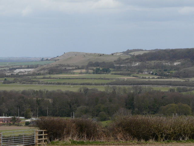
Pitstone Hill, with Ivinghoe Beacon beyond, from Wigginton
At Wigginton, I turned and headed back westwards, soon stopping for lunch on a bench along King Charles' Ride in Tring Park.
King Charles' Ride, Tring Park
View north over Tring and the Vale of Aylesbury, from King Charles' Ride, Tring Park
King Charles' Ride, Tring Park
I then followed lanes into the hamlet of Hastoe, and then took a sequence of public byways (still no idea why there are so many public byways, rather than bridleways, in Hastoe!) and finally climbed the wooded slopes of Aston Hill to return to Wendover Woods.
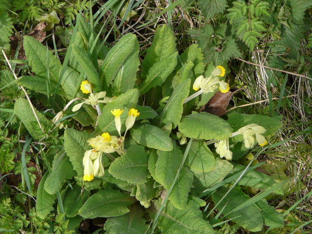
My first Cowslips of the year, at Hastoe
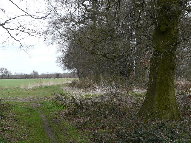
Public byway near Hastoe
These gloomy photos really don't do the walk justice - for a much better account of this route see here or Walk 5 of my Chiltern Chain Walk.