Pete's Walks - Kensworth to Ivinghoe (part 1)
If you are considering walking this route yourself, please see my disclaimer. You may also like to see these notes about the maps and GPX files.
I did this walk on Thursday, 4th June 2009. It was a repeat of my Kensworth to Ivinghoe circular walk which I had done a couple of times before, and was about 17.5 miles long.
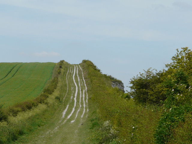
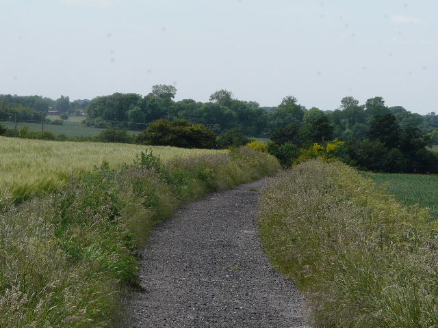
I started walking about 9.15am, walking up Common Road, Kensworth, and taking the path beside the small industrial estate. this took me down into a valley, then turned left to reach the path round Kensworth Quarry. I turned left, and followed the Quarry path some distance, before turning off to reach Dunstable Downs.
The path from the small industrial estate in Kensworth to the Quarry path
The path around Kensworth Quarry
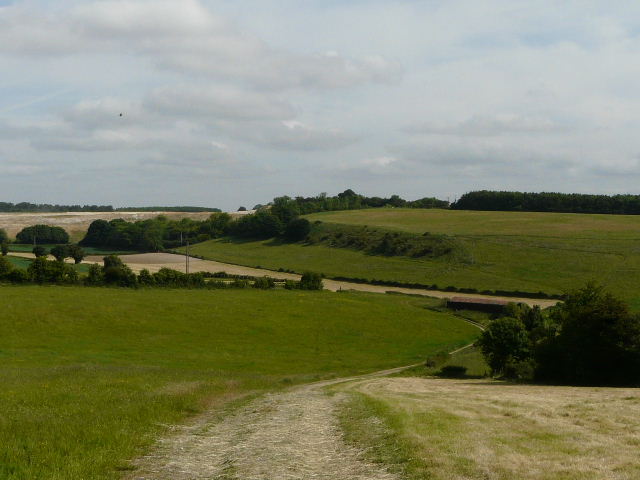
I turned right and walked along the top of the Downs. I varied my route slightly from Monday's walk, by omitting the top of 'Orange Hill' and keeping to the left of the Five Knolls burial mounds - I was glad I did, as I found a large clump of Columbine of different colours.

Looking back along Dunstable Downs
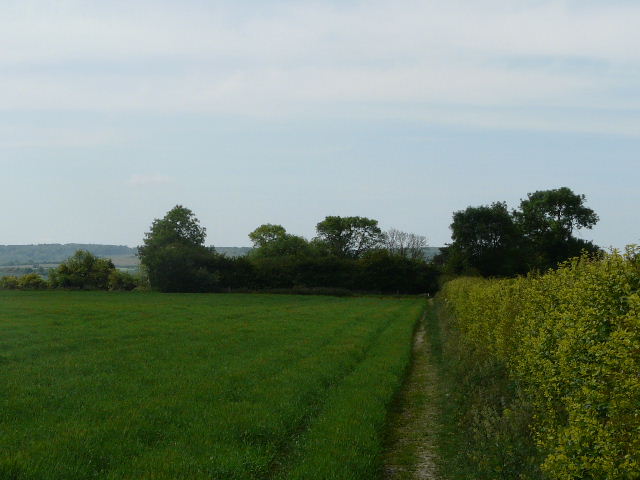
At the foot of the long grass slope leading down to Dunstable, I crossed West Street and took the path along Green Lane opposite. I soon left the town behind, and continued on my way along more hedge-lined tracks. I saw a Corn Bunting singing from a bush, and saw several different wildflowers here - Poppies, Sainfoin, Common Fumitory, Greater Knapweed.
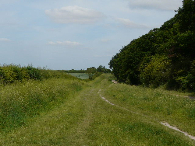
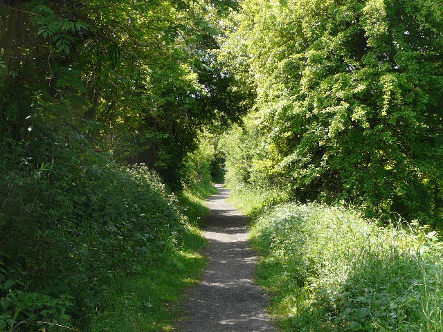
Green Lane, Dunstable
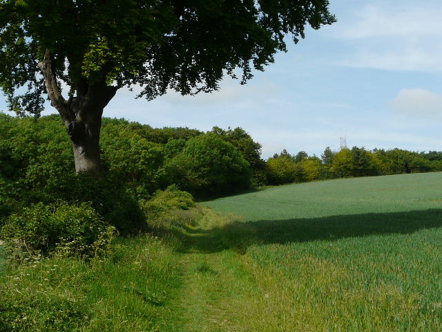
A green lane beside an old chalk quarry, near Totternhoe
From Totternhoe, a path led through an empty paddock and across a footbridge over a narrow stream. The path went through the corner of an empty pasture and then through three more fields to reach Eaton Bray.
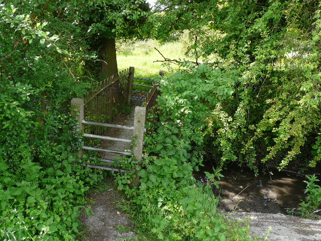
Footbridge, Totternhoe
Approaching Eaton Bray
From Eaton Bray, there was just one corn field (where I saw a Painted Lady) before I crossed another footbridge to reach the edge of Edlesborough. There was then about a half mile of road walking through this large village.
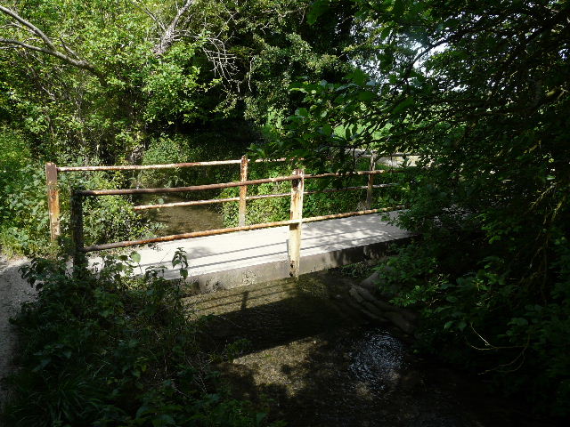
Footbridge, Edlesborough
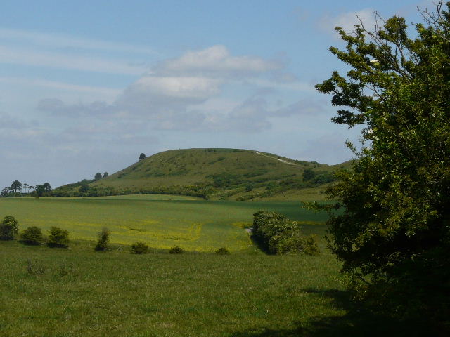
From next to the church, I started off down a very long and straight bridleway, a wide track surfaced with broken asphalt. Ahead and to my left was the familiar outline of Ivinghoe Beacon. Several Large White butterflies appeared along here, and I saw another Corn Bunting.
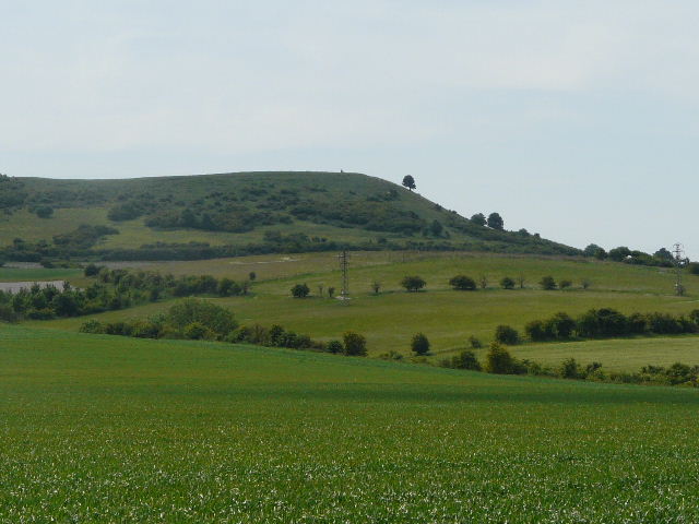
Ivinghoe Beacon, from the bridleway from Edlesborough
The bridleway from Edlesborough to Ivinghoe Aston
After about a mile, I crossed a road on the edge of Ivinghoe Aston. The bridleway continued onwards, bit now narrower and enclosed by hedges. Eventually a golf course appeared on the right, and a little further on I reached the village of Ivinghoe.
The bridleway between Ivinghoe Aston and Ivinghoe
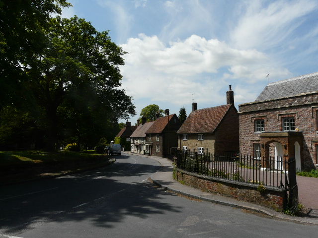
Ivinghoe
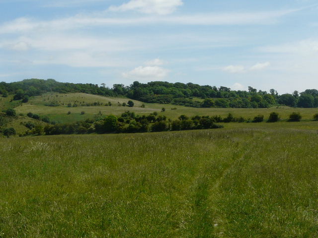
From Ivinghoe I took a really lovely path, one of my favourite local paths, heading gently uphill towards a section of the Ashridge estate. Ivinghoe Beacon was now over to my left, with Pitstone Hill over to the right. The path ran through a large hay meadow, and I stopped on the far side to eat my lunch - this is also a favourite of mine, one of the best lunch spots I know, as there is a convenient concrete block that serves as a bench, with a gorgeous view over Ivinghoe and the Vale of Aylesbury.
The path from Ivinghoe to Ashridge
Ivinghoe Beacon, from the path to Ashridge