Pete's Walks - Lilley to Barton-le-Clay walk (part 1)
If you are considering walking this route yourself, please see my disclaimer. You may also like to see these notes about the maps and GPX files.
I did this 14.5 mile circular walk on 24th June, 2009. I had done the same route but in the opposite direction a couple of months earlier - see here. This time I was doing it anti-clockwise.
I parked by the village pub and started walking about 9.35am. I took the footpath that started opposite the church, which led across a couple of paddocks and then followed a hedge steeply uphill, before descending gradually to meet Lillyhoo Lane.
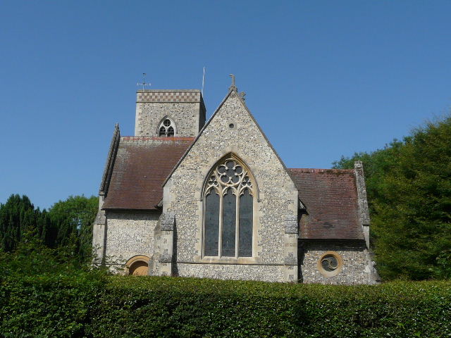
Lilley church
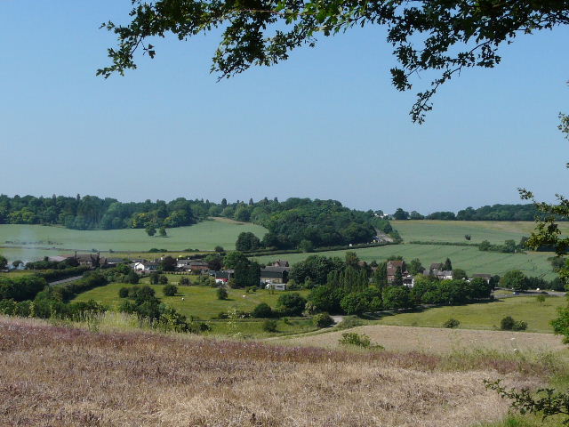
Looking back over Lilley
I went a short distance right along the lane, then turned left along a wide farm track. This took me to Little Offley, where I chose to continue ahead on a surfaced drive, rather than turn left onto the field paths used by the Chiltern Way - this was simply because I'd not walked the drive in this direction before. Both routes soon converged, just before the few scattered dwellings of Wellbury, where I continued down the drive which was now effectively a lane.
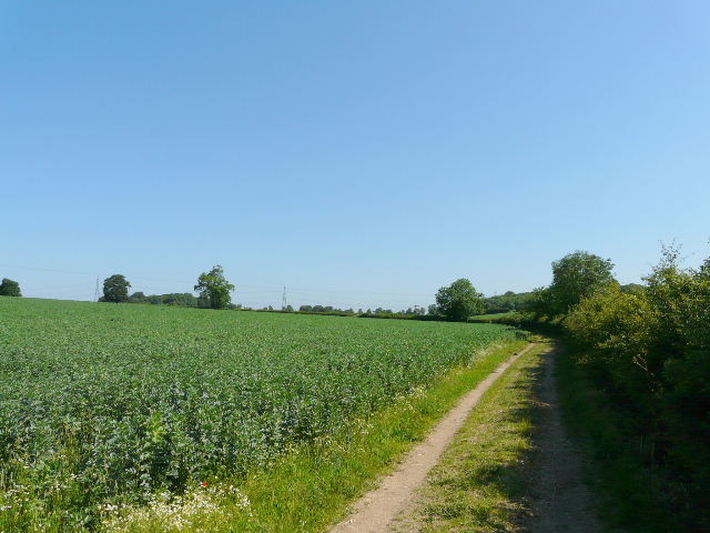
Farm track just after Lilleyhoo Lane
Approaching Wellbury
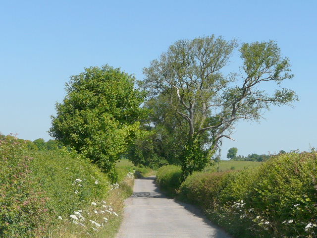
The drive from Wellbury to the B655
At the end of the drive, I turned left along the verge of the B655 for about 100 yards, before turning left along part of the Icknield Way, here a green lane between high hedges either side. Rather than follow the green lane all the way to Pegsdon Hill, I turned right after a quarter of a mile or so and followed a path uphill to the top of Deacon Hill.
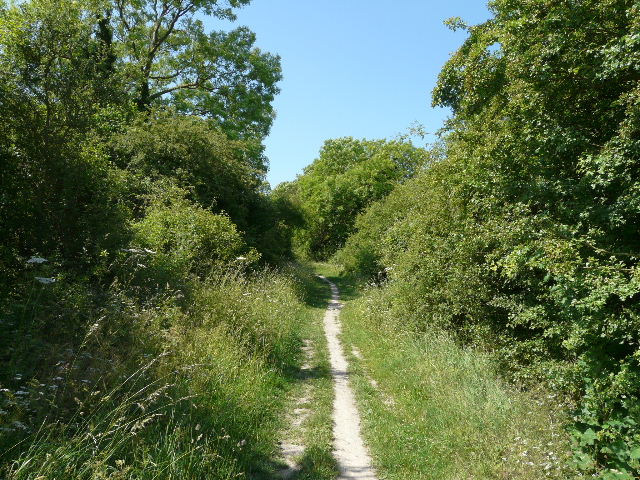
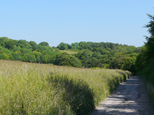
The Icknield Way, between the B655 and Deacon Hill
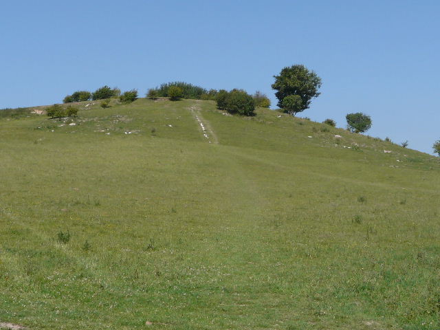
The path up Deacon Hill
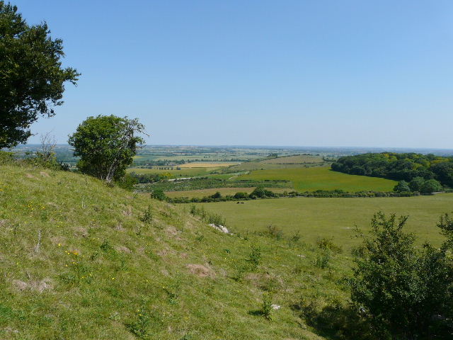
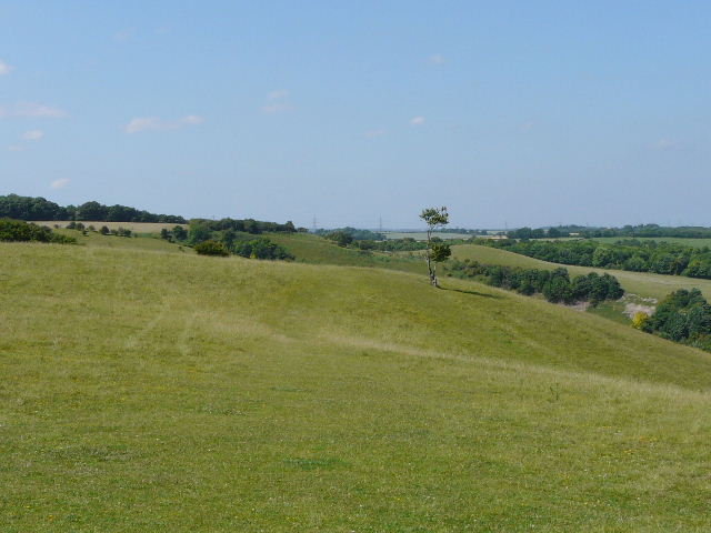
View from near the top of Deacon Hill
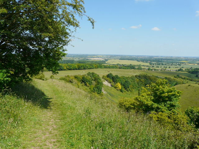
I then took an excellent path along the top of the escarpment towards Pegsdon Hill, with stunning views to my right over the lower lying land at the foot of the hills. This path is not shown on my map (it runs through Open Access land), and I only found it existed when I saw someone else walk it when I did this walk in the other direction two months ago. It is a far better route than the Icknield Way, where there are virtually no views from the hedge-enclosed green lane. In fact, this was the best part of the whole walk.
The start of the path from Deacon Hill to Pegsdon Hill
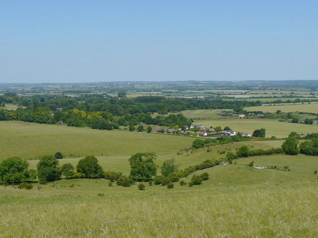
The view north from Deacon Hill
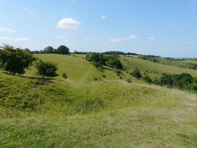
The path from Deacon Hill to Pegsdon Hill
The path from Deacon Hill to Pegsdon Hill
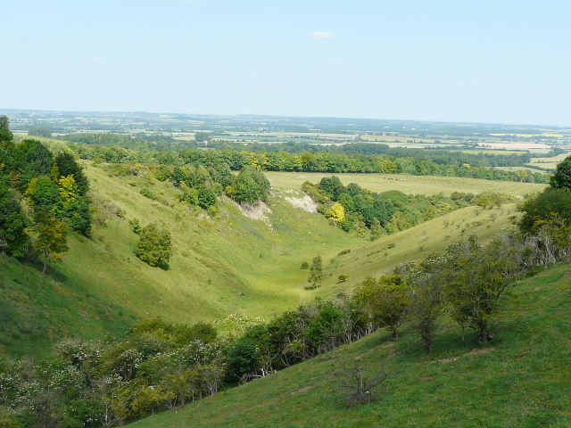
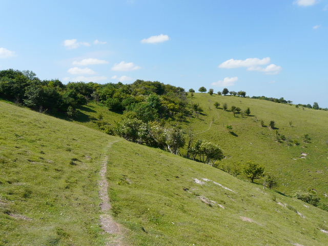
Barn Hole
From Pegsdon Hill I took the very pleasant path that gradually descends to Pegsdon, initially alongside the steep-sided valley of Barn Hole. As I got nearer the bottom, there were good view to my right back to Deacon Hill.
The path descending to Pegsdon beside Barn Hole
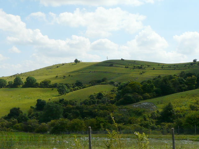
Looking back to Deacon Hill - the 'lines' around the hill are Strip Lynchets, mediaeval field terraces