Pete's Walks - Buckland Common and The Lee
If you are considering walking this route yourself, please see my disclaimer. You may also like to see these notes about the maps and GPX files.
I did this circular walk on Saturday, 4th July, 2009, a slightly shortened version of my Buckland Common and The Lee walk. When I did that walk, I had in fact intended to follow this shorter route but decided on the day to extend the walk a little - 'alternative 1' on the map shows the slightly shorter route. I also came across a blocked path at one point, which is why I used 'Alternative 2' on the map, which proved to be a nicer section of path than the original one anyway.
All told, the walk was about 11 miles long. As with my previous walk, I chose to do this walk today because it was going to be a very hot day, and so I only wanted to walk for about four hours. I don't handle the heat well - I have to be careful on a hot day like this that I don't get a mild migraine.
I parked at Buckland Common and started walking about 9.55am (I was a bit late leaving home as I'd had a couple of errands to run first).
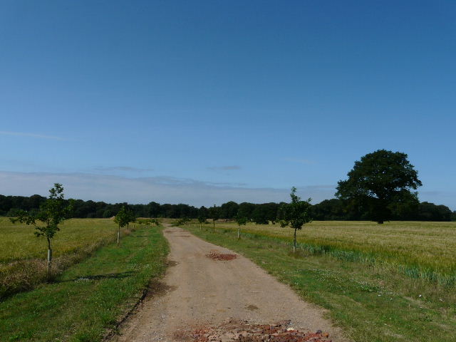
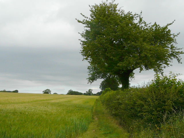
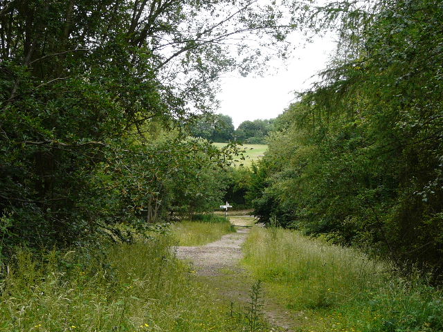
The track from Dundridge Manor Farm
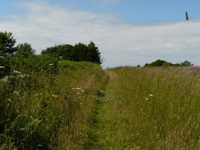
Approaching Erriwig Farm - the object in the sky is a Marbled White, one of numerous butterflies along this particular path
As I approached Erriwig Farm, I could see a Red Kite nearby.
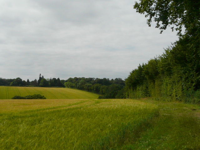
The path south of Erriwig Farm - this photo was taken 23 minutes after the first photo on this page, quite a change in the sky!
It was a beautiful and hot day when I started, but within half an hour it had clouded over completely and was quite grey as I entered Lowndes Wood. It remained hot and very sticky.
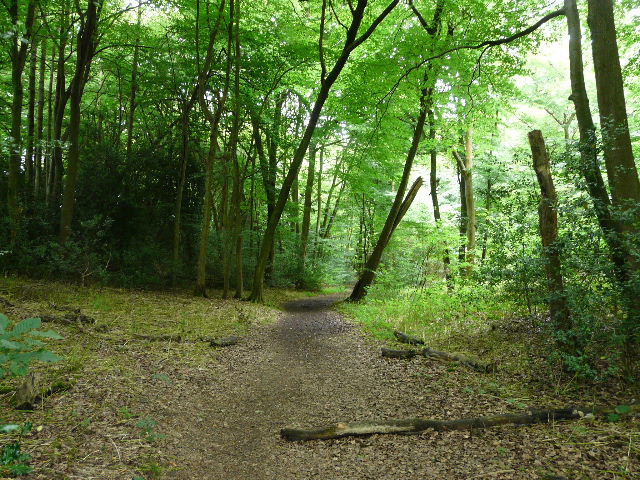
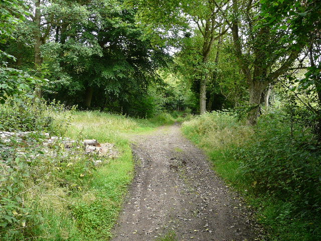
Lowndes Wood
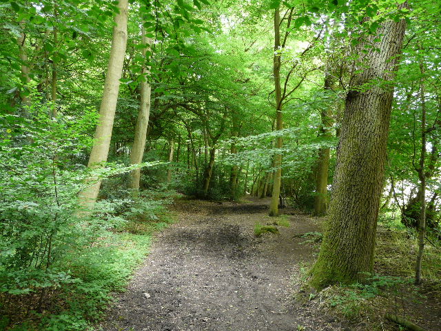
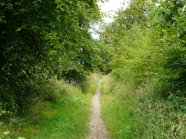
Bellows Wood
As I walked through Bellows Wood, I could hear some walkers about 100 yards behind me, and they followed me along the path along Ballinger Bottom, one overtaking me. I could hear them talking all the while - it reminded me of one reason why I prefer to walk alone, I have a far better chance of seeing wildlife if I am on my own (as long as I don't talk to myself too loudly!).
Wood just east of The Lee
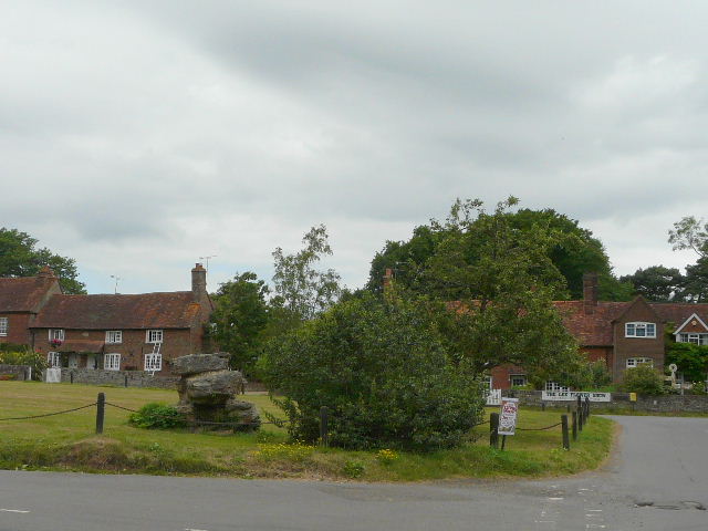
The Lee
I joined the route of the Chiltern Link just east of The Lee - a visitor to this web site emailed me the other day and mentioned that the walk had been rather overgrown in places when they did it recently, but this section was perfectly clear.
Path just west of The Lee, heading towards Kingsash
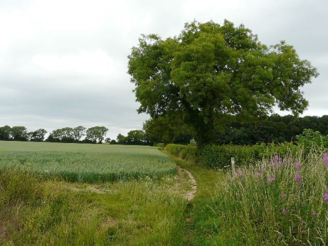
Path to Kingsash
Track in Great Widmoor Wood
I followed a lane north from Kingsash and continued along a track when the lane turned right. After a few yards I tried to take a path on the left, but it was blocked - I could get over the stile into a small pen, but the gate out of the pen was tied shut and there was no way of climbing the rickety fencing without cutting myself on barbed wire and/or badly damaging the fence. To make it worse, the two ponies and numerous black sheep in the adjoining field had all run over, thinking I'd come to feed them, so I couldn't safely scramble under the fence. So I returned to the track and continued along. It was soon running along the edge of a wood, and then at a path junction (where a woman was complaining about her male partner giving her an unnecessary lesson in map reading), I turned left through the wood. This was in fact a far nicer route than the path through the sheep pasture, and I'll use it from now on (even though it means walking two sides of a triangle).
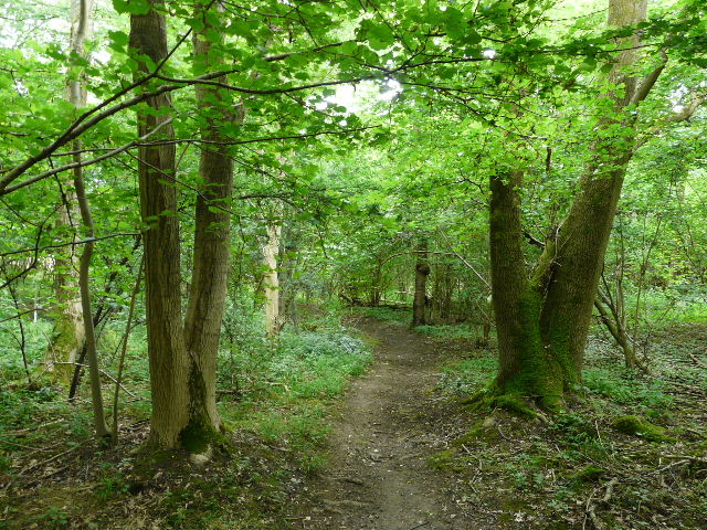
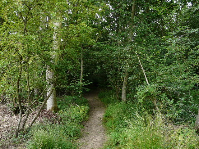
Path through Great Widmoor Wood
On the far side of Great Widmoor Wood I rejoined the route I'd planned, and was soon following the line of Grim's Ditch, an ancient earthwork that runs for several miles. After a long section through trees (where I spotted a Muntjac deer), I followed a short section of lane into St Leonards. A bit further on, I followed a long track that was the border between Buckinghamshire and Hertfordshire.
Looking out from the path along Grim's Ditch
Approaching the lane to St Leonards
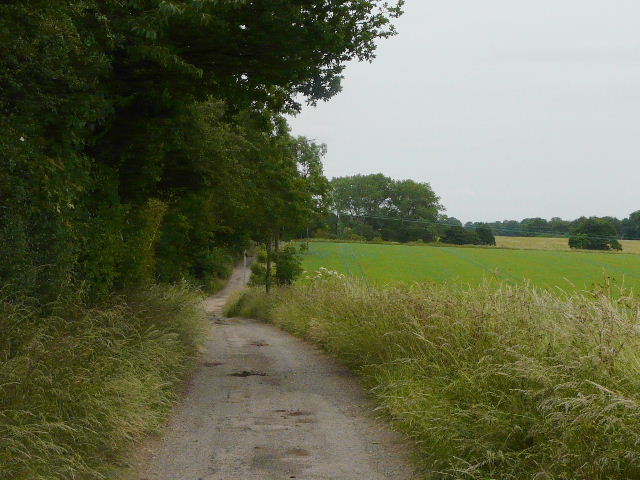
The track along the Bucks/Herts border
Just after crossing Shire Lane, I reached a junction where I met the Chiltern Way. Although it was now quite cool, a stiff breeze having reduced the temperature to a comfortable level, I chose not to extend the walk, and followed the Chiltern Way back to Buckland Common (see Alternative 1 on the map). I was very disappointed to see that the paddocks that used to contain Alpacas were all empty.
Entrance to Drayton Wood
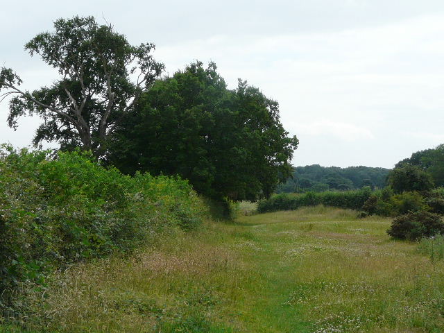
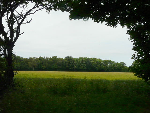
Meadow near Buckland Common
I sat on a bench on the green at Buckland Common to eat my sandwiches (it was now about 1.40pm) before walking the last few yards to my car.
For some reason, I didn't enjoy this walk as much as I usually enjoy walks. I think it was because I'd started out in beautiful sunshine, only for the skies to very quickly become grey and overcast, which rather put a dampener on my spirits. The route itself was fine (I really liked the new bit through Great Widmoor Wood).