Pete's Walks - Grand Union Canal Circular Walk (page 2 of 2)
I passed the lock and old lock-keeper's cottage at Cow Roast, where there is also a marina with numerous narrowboats tied up. There was now only a fairly short stretch of canal to take me to Tring Station, the last section running through a small cutting bordered by mature trees. It was noticeable throughout the canal section of this route that the main part of the Grand Union Canal is much wider (and much more free of vegetation) than the Aylesbury Arm which I'd followed on Wednesday.
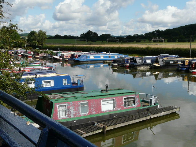
Marina at Cow Roast
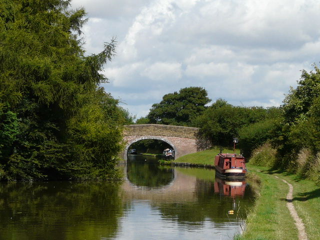
Grand Union Canal between Cow Roast and Tring Station
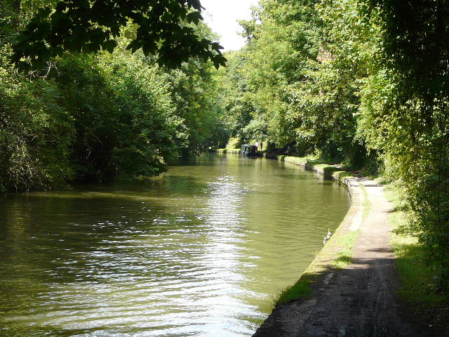
Grand Union Canal approaching Tring Station
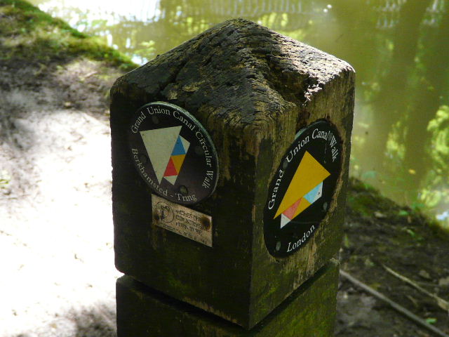
Waymarks where the circular walk leaves the Grand Union Canal at Tring Station. The similarity in the waymarks seems to indicate that the circular walk is associated with the long-distance Grand Union Canal Walk, perhaps if I research that walk on the web I'll discover something more about the circular walk.
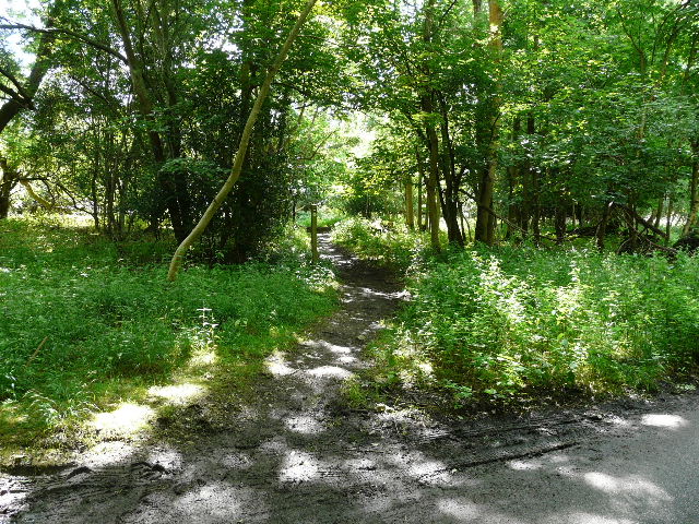
I turned off the canal at Tring Station. I walked through the small village and past the station, but I wasn't sure where the route went after that. There was no waymark where the Ridgeway path turned left off the road, but I felt sure that the route must go that way (I knew it went through Aldbury, as I remembered seeing a waymark in the allotments there). In a hundred yards or so, I reached the path crossroads where the Ridgeway turns left towards Aldbury Nowers, and fortunately there was now a waymark a short distance down the path continuing ahead.
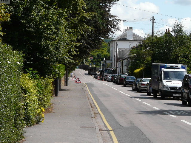
Tring Station - the actual railway station is just beyond the tall white hotel on the left
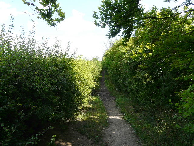
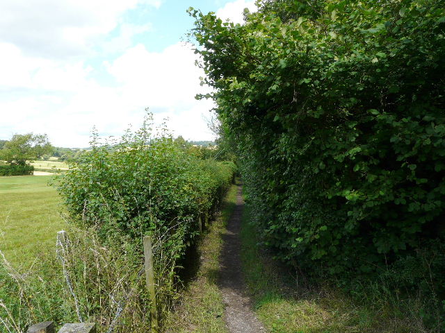
Bridleway between Tring Station and Aldbury
I now did a stupid thing - I went into 'autopilot' mode, and simply followed my usual route into Aldbury, turning right at the next path crossroads (by the golf course). As I passed the stables and church on the edge of the village, I noticed there were several of the usual waymarks for public footpaths, but no waymarks for the Grand Union Canal Circular Walk. I couldn't be bothered to go back to the junction and check, deciding to leave that until I came back later.
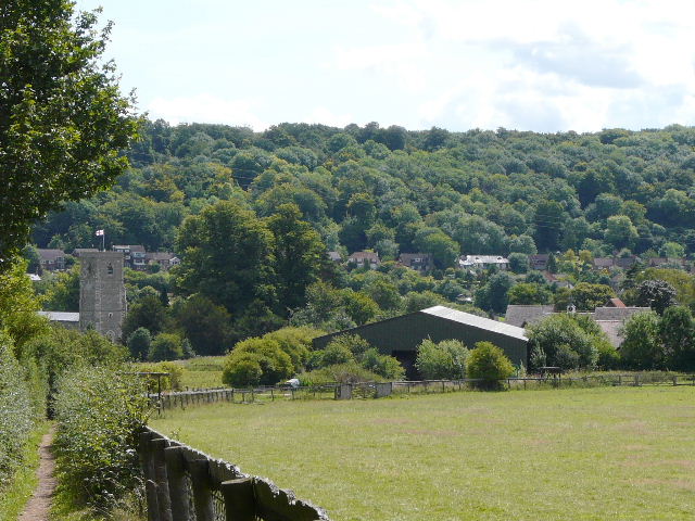
Aldbury, backed by the wooded slopes of Ashridge - this is not part of the proper route, I careless went wrong and just followed the path I usually take into Aldbury!
I turned right in the middle of Aldbury, by the stocks and pond, then turned left through the allotments and picked up the steep path towards the hamlet of Tom's Hill - I stopped on a bench at the foot of the hill to re-adjust my socks, and had my lunch on the same bench on my way back. The path led uphill to a hairpin bend on a minor road, where the short lane into Tom's Hill begins. A little way down the lane I spotted some Fallow deer ahead of me.
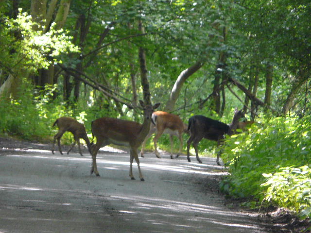
Fallow deer does, with a fawn on the left, near Tom's Hill
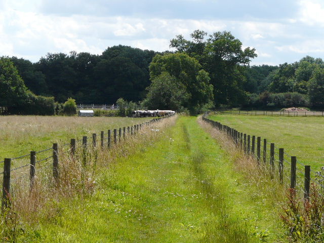
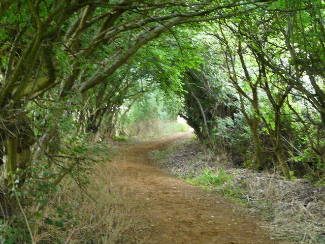
The route turned left into the trees shortly before the lane enters the hamlet - I was pleased to see a waymark here, as I wasn't too sure of the route hereabouts. After a hundred yards or so, the path met the route of the Hertfordshire Way, running along the edge of the woods, I assumed my route would follow it to the left here, but I checked a post for waymarks - in fact there was a waymark indicating that I went straight on. This path was new to me, leaving the woods and following a hedge through the grounds of a large house at Tom's Hill. It then continued between fences, with a bull and a herd of black and white cattle in the pasture on my left, before following a left-hand hedge through an empty pasture to reach the hamlet of Norcott Hill.
Where the route leaves the lane into the hamlet of Tom's Hill
Path across the grounds of a grand house at Tom's Hill
Path between the hamlets of Tom's Hill and Norcott Hill
Again I went slightly wrong - in 'autopilot' mode once more, I just followed the track past the few but impressive residences in the hamlet, with the woods of Northchurch Common on my left. I turned left at the end of the houses, but quickly realised I should have turned left sooner onto another footpath I'd never walked before - no matter, I had simply walked the wrong two sides of a small triangle and gone an extra couple of hundred yards. I would return along the correct route a bit later.
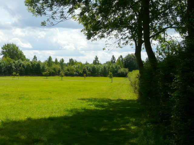
There was now just a pleasant section across part of Northchurch Common, following the edge of the huge open expanse of grass here, before turning right into the trees and following a short grassy ride back to my starting point where the path crossed a private drive. It was now about 12.40, the walk having taken three hours so far. I turned round and started to make my way back.
Path on Northchurch Common
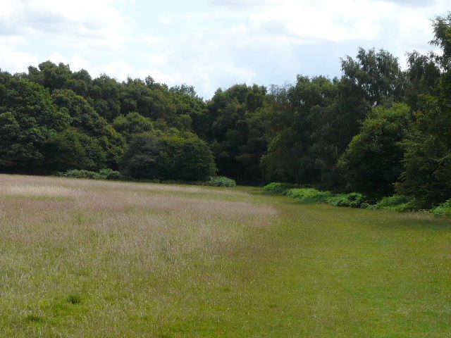
Path on Northchurch Common - the route turns left into the trees to reach the point where I started the walk
Having gone back past Tom's Hill and through Aldbury, I checked for any waymarks when I reached the junction on the edge of the golf course. Sure enough, if I'd been awake earlier I'd have seen one pointing straight ahead, so I'd been wrong to turn right there. Although I knew that I'd be walking for about six hours anyway, I followed the bridleway I should have continued on before, so that I did walk all of the official route ("though not necessarily in the right order!" as the great Eric Morecambe might have said). I'd not walked this section of path beside the golf course before, but it wasn't particularly interesting as most of it was a green tunnel between overhanging hedges with no views at all. I turned right at the end, a footpath initially running along the edge of a playing field before joining the lane into Aldbury. I did a loop round the village pond, calling in at the stores for an ice-cream (I'd resisted the same temptation twice before, I couldn't do it a third time - anyway, it was my first ice-cream on a walk for a couple of years or more, and I knew I had a long and hot walk still ahead of me). This diversion back in and out of Aldbury added about 50 minutes to the walk time, and personally I think the route I usually take into Aldbury is far nicer anyway.
The start of the path I should have followed into Aldbury, beside the golf course
The bridleway into Aldbury
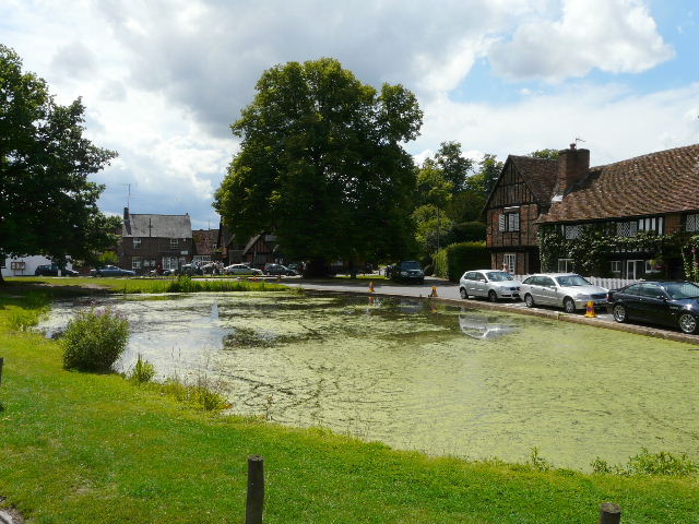
Aldbury
It was a very warm afternoon, and at one point just after I had returned through Cow Roast I started to worry that I might get one of the mild migraines I occasionally suffer from when I over-exert myself on hot days. I had some more water and fortunately a cool breeze sprang up for a while, and I felt OK again. I was tempted to shorten the walk by leaving the canal when I reached Northchurch and simply following the road uphill to where I was parked, but as I now felt OK I carried on. My legs didn't feel too bad over the last few miles through Berkhamsted and uphill back to Northchurch Common, but my feet were sore and unusually I ended up with a few blisters - entirely my own fault for wearing socks that had holes in them and were long past their 'best use by' date.
It was 4.40pm as I limped back into the car park on the corner of Northchurch Common. I'd been walking for six and a half hours - I hadn't stopped to take too many photos so, although I'd slowed a bit in the last few miles, I was sure I'd done at least 18 miles. It was only when I created the map on Google Maps the next day that I'd realised I'd walked over 19 and a half miles (about three miles more than I thought I'd be walking). It wasn't too warm a day, probably low 20s, but I think I walked a few more miles than I'd have ideally liked on such a day.
It's certainly a good route, ideal for anyone who likes walking about 9 or so miles. About half the route is alongside the canal, then there are sections through fields and through the trees of Ashridge and Northchurch Common, so there is a bit of variety.