Pete's Walks - Circular walk round Harpenden (page 2 of 2)
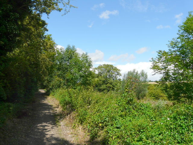
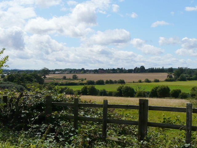
A young woman with two little boys passed me on their bikes, stopped and then passed me again. There was another golf course to my left, with the river Lea over to the right, though I hardly got a glimpse of it here. After about a mile, the path left the former railway, and followed attractive paths beside the river, with Batford now on the far bank to my right. I passed a group of youngsters fishing, and a few yards further on spotted some fish in the clear water of the river, which I later had identified as Chub.
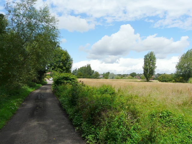
Approaching Batford
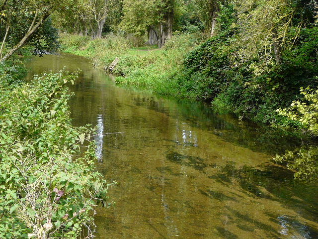
River Lea at Batford
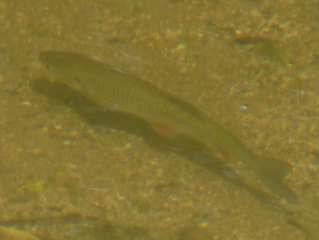
There were several Chub like this in the river at Batford
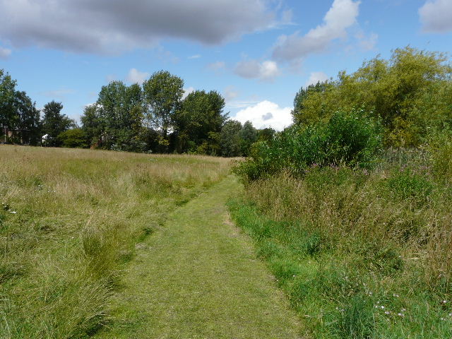
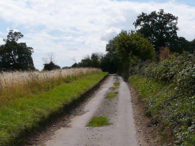
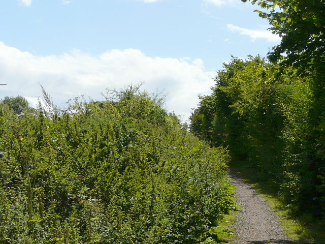
Riverside path, on the Harpenden side of the river near Batford
Path near Batford
The pleasant paths by the river ended as I approached a large modern church, and I now had some road walking past some industrial units (this route is not a true 'circumnavigation' as it does pass through parts of Harpenden rather than circle the entire town). Still following the Lea Valley path, I returned to the old railway line as I reached the northern edge of Harpenden. It was well surfaced with gravel, continuing past corn fields with the river still a little distance to my right. It made for easy walking for about three-quarters of a mile until I neared the village of East Hyde.
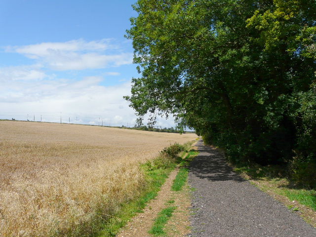
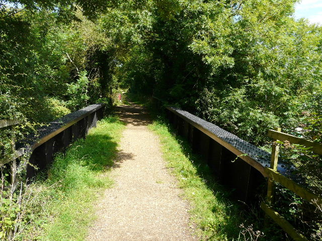
The old railway line as it leaves the outskirts of Harpenden

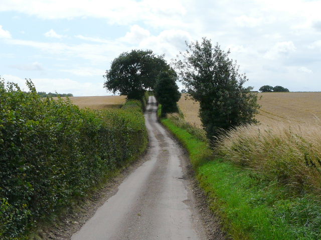
The old railway line heading towards East Hyde
The Lea Valley at Hyde Mill Farm
The river Lea at East Hyde (the two white dots by the river are Little Egrets, honest!)
Having seen one Little Egret already, it had occurred to me that the Lea at East Hyde was another site where they'd been reported. Sure enough, as I drew near the village I spotted two of these attractive little herons beside the river. I didn't enter the village, but turned left along Cooters End Lane, now heading southwards and following a section of the Chiltern Way (Day 8) - this was the first section of the route that I had walked previously since I left Redbournbury. I soon passed the small hamlet that gives the lane its name, and the three-quarters of a mile lane walk seemed to pass much more quickly than the two previous times I'd walked it.
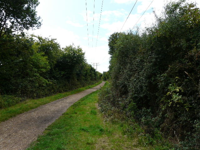
Cooters End Lane
Cooters End Lane
Cooters End Lane terminated at the A1081 (really part of the A6), on the edge of Harpenden again. Still following the Chiltern Way, I followed alleyways between garden fences and crossed two or three streets as I cut through part of the town, emerging by a school on its north-western corner. I followed a hedge through a couple of corn fields to reach the course of another old railway, the 'Nickey Line' that ran from Harpenden to Hemel Hempstead. It was now 1.15pm and I stopped on a convenient bench here to eat my lunch, a Yellowhammer drinking from a nearby puddle as I did so. There were briefly a few spots of rain as I ate, I was clearly just on the edge of a shower - I was lucky, as this was the only rain I had, and the forecast had mentioned scattered showers.
Where I joined the Nickey Line (and had lunch)
Lunch over, I followed the Nickey Line south-west knowing I had less than an hour to go. The Chiltern Way soon turned off right, to cross Redbourn Golf Course on its way to Flamstead, but I continued on along the former railway line, once more walking a path that was new to me. There were pleasant views over fields towards Redbourn, and it wasn't long before I was crossing the bypass on the east of the large village. The Nickey Line continued along the edge of the village, with the bypass just to my left. I soon reached the point where I'd left the village, and retraced my steps back across the common to the car park. The walk had taken four hours and twenty minutes - a bit shorter than I'd expected, but it turned out I'd over-estimated the distance when I'd tried to work it out from the map.
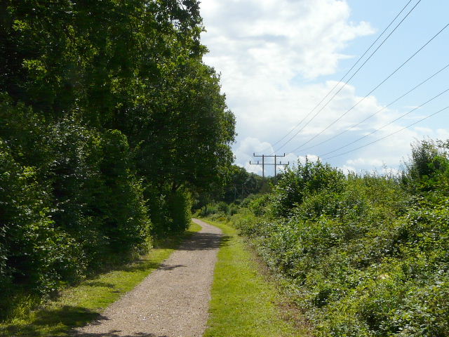
The Nickey Line, approaching Redbourn
Looking towards Redbourn, from the Nickey Line
The Nickey Line, on the edge of Redbourn
Looking back at an old railway bridge on the Nickey Line (crossing the road into Redbourn from St Albans)
This was another enjoyable walk. It's obviously becoming increasingly difficult for me to find new paths to walk close to my home, so it was good that just over half this route was new to me. If I do it again, which I almost certainly will, I'll alter it slightly by following the footpaths from Redbournbury instead of the lane. There was a little more lane walking than I usually do, and the lengthy sections along the two old railway lines were obviously very flat, but that didn't detract too much from a very pleasant day out in the country. The two sightings of Little Egrets were an added bonus!