Pete's Walks - Caddington figure-of-eight walk (page 1 of 3)
If you are considering walking this route yourself, please see my disclaimer. You may also like to see these notes about the maps and GPX files.
I did this walk of about 11.8 miles on Thursday, 13th August, 2009.
On Monday's walk, three days earlier, I had repeated my 'Kensworth and everywhere' walk. This route takes in almost all of the neighbouring villages to Kensworth, the exception being Caddington. Rather curiously, despite all the local walks I've done over the years, I'd only ever walked through the parish of Caddington twice in my whole life. The first time was in about 1974 or 1975 when my friend Nigel and I failed spectacularly in our attempt to 'circumnavigate' Luton, the second was about three years ago when I did a morning's walk from Kensworth to Caddington and back. The fact is that the paths between Kensworth and Caddington (which lie on opposite sides of the A5 or Watling Street) don't appear to link up very conveniently - on that latter walk, I'd had to go via Markyate to get to Caddington, and the path I took back from Kensworth to Caddington can occasionally be overgrown and impassable at one point. Having thought it was really about time I did a walk around the Caddington area, I eventually gave up on trying to walk there from Kensworth and decided to drive a few miles and start the walk in Caddington itself. I managed to then come up with this roughly figure-of-eight walk, which included two or three objects of interest to me.
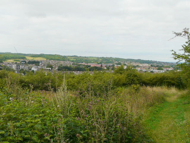
I parked by the green in the centre of the village, with the church behind me, and started walking about 9.20am. I walked a short distance back along the road towards Dunstable, then took a path on the right which headed northwest towards Blows Downs, my first objective.
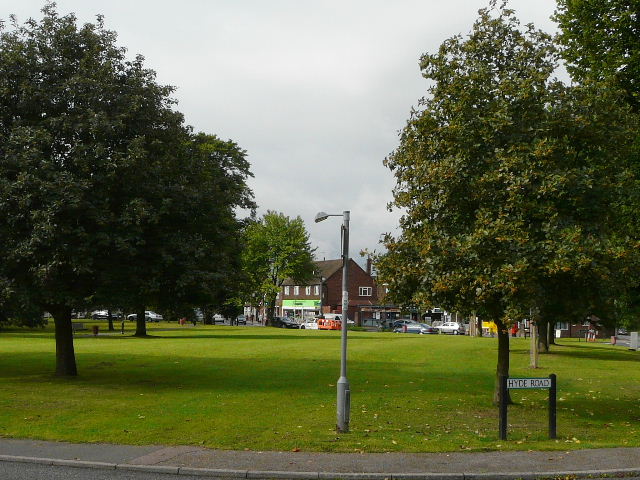
The green at Caddington
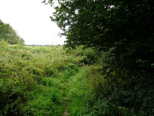
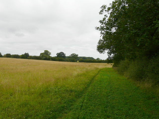
Near the start of the walk, heading northwest towards Blows Downs
Path near the start of the walk
Path near the start of the walk
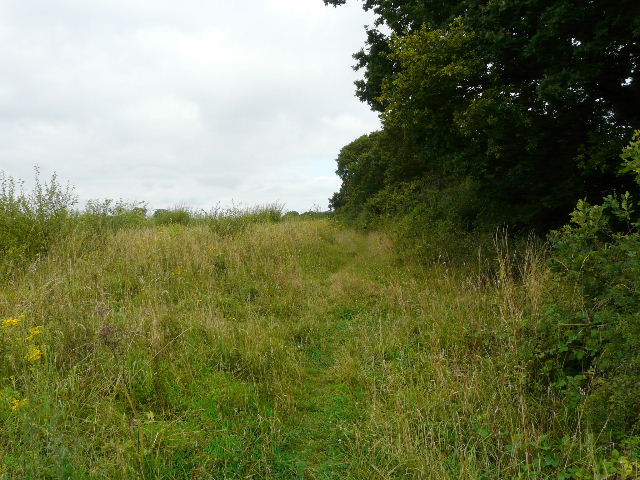
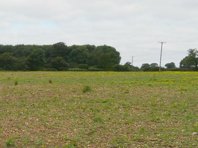
The path was initially along the edges of a couple of large bean fields that had presumably been left fallow as there were as many wildflowers growing in them as bean plants. Further on I followed the edge of a large hay meadow where I met two people in a horse-and-buggy coming the other way. I then had to make way diagonally across an empty field where there was no sign of a path, before continuing along another hedgerow that passed Castlecroft Wood on my left. I then turned right for a hundred yards or so along the tarmac drive to Zouches farm, with Dame Ellen's wood on my left. Some time ago, after another walk, I discovered that the last prioress of Markyate Priory, the site of the nearby Victorian pile of Markyate Cell, was called Joan Zouche, so I presume there is some connection to the name of the farm.
I met a horse-and-buggy along here
Spot the path! I had to make my own way across to the corner of this field.
Heading towards Dame Ellen's Wood and the drive to Zouches farm
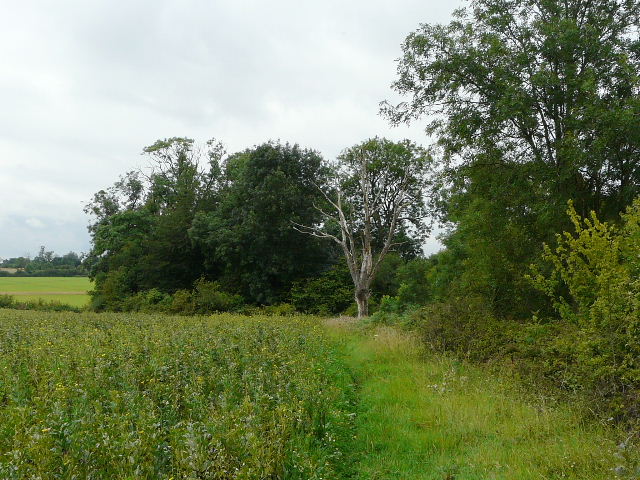
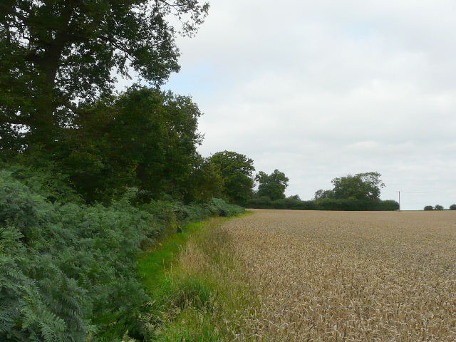
Having soon turned left from the drive to Zouches farm, a footpath followed the left edge of a wheat field before going through a break in the hedge to emerge near the south-eastern end of Blows Downs. Blows Downs run in a northwesterly direction, alongside the southeast quarter of Dunstable, then turn east, with more of Dunstable and Luton at their foot. They are a continuation of the main chalky escarpment of the Chiltern Hills, here broken by the Dunstable Gap (between Dunstable Downs and Blows Downs).
Path near Zouches Farm, approaching Blows Downs
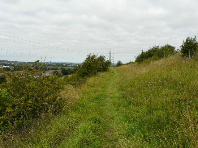
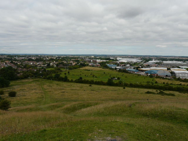
Looking across the southern part of Dunstable, from where I reached Blows Downs
I continued along the path at the top of the Downs, with views across the southern end of Dunstable - the top of the opposite hillside is where part of the path round Kensworth quarry runs, and further along that hillside I could see Dunstable Downs Golf Course. As so often the view was marred by a row of giant electricity pylons. After a short spell through bushes and trees, the path emerged onto more open downland, with long grass, wildflowers and a few scattered bushes.
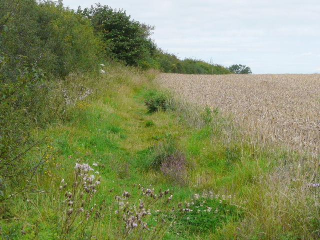
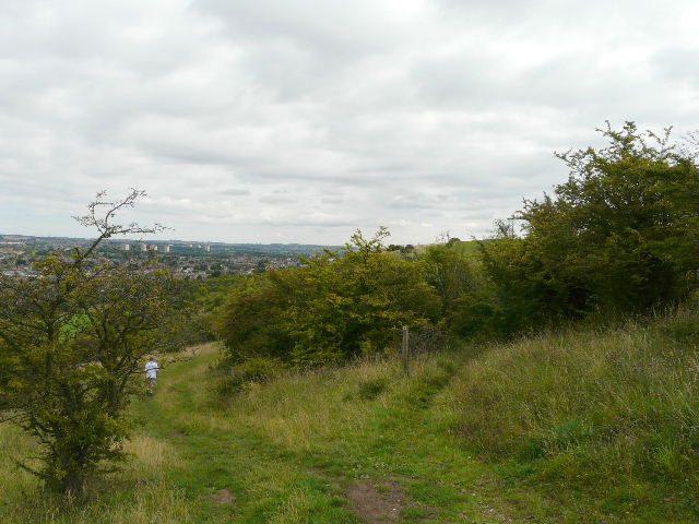
Path heading northwest along Blows Downs
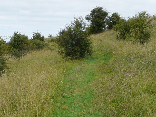
Path heading northwest along Blows Downs
Path heading northwest along Blows Downs
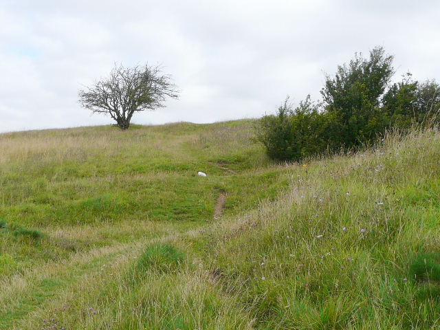
After half a mile or so I came to a corner where the Downs turned to the east - a memorial sign indicated places of interest that could be seen from this Site of Special Scientific Interest. Blows Downs are obviously similar to the nearby Dunstable Downs, but have the drawback of having the Luton-Dunstable conurbation at their feet rather than open countryside. I followed a path eastwards now, sticking near the top of the steep slopes. This was very enjoyable, despite the noise from the houses, factories and busy Luton-Dunstable road down below me. It is quite incredible that I'd never been here before, despite living only a few miles away for a total of about 23 years of my life.
View over Dunstable and beyond, from the corner where Blows Downs turn east
Heading east along Blows Downs, looking ahead to part of Luton
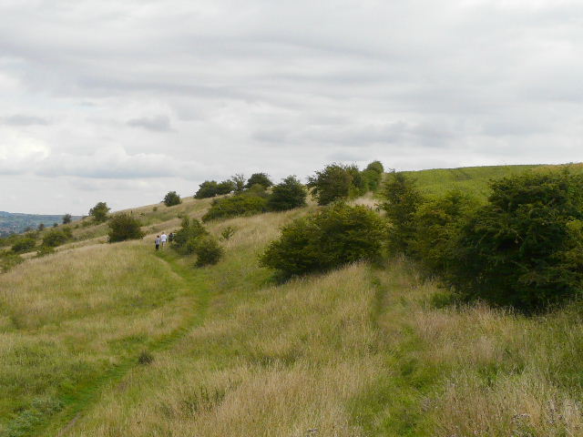
Heading east along Blows Downs