Pete's Walks - Kensworth, Great Gaddesden, Dagnall (page 1 of 3)
If you are considering walking this route yourself, please see my disclaimer. You may also like to see these notes about the maps and GPX files.
I did this walk of about 14.2 miles on Monday, 17th August, 2009.
I intended to do a walk near Stevenage today, but when I tried to start my car the battery was completely flat - I wasn't too surprised as it's already happened a couple of times recently (I've arranged to have it sorted out on Thursday when I have the car MOT'd and serviced). So I immediately switched to my backup plan, which was to repeat (yet again!) my Kensworth - Nettleden - Little Gaddesden walk. But as I was approaching Jockey End, I decided I didn't just want to repeat a walk I'd done numerous times before. A moments thought made me realise that I could alter the route quite easily to incorporate a long path from Hudnall past Little Gaddesden to Dagnall that I had only walked once before (about four years ago), and so that is what I did. From Dagnall I'd return to Kensworth along the route I use on my Kensworth-Ivinghoe Beacon walk. So as the start and finish of this walk were on familiar routes that I've described umpteen times before, I'll concentrate this report on the middle section.
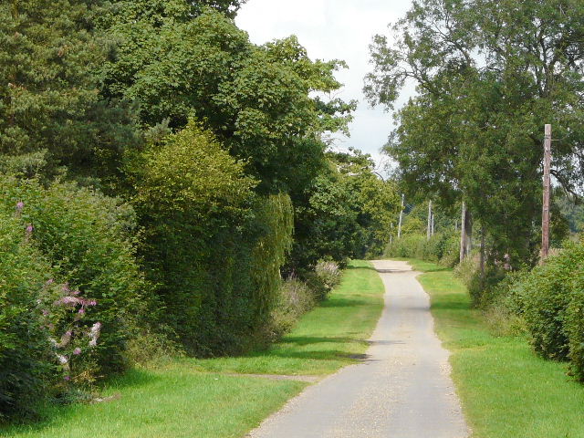
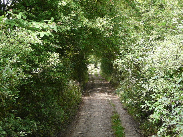
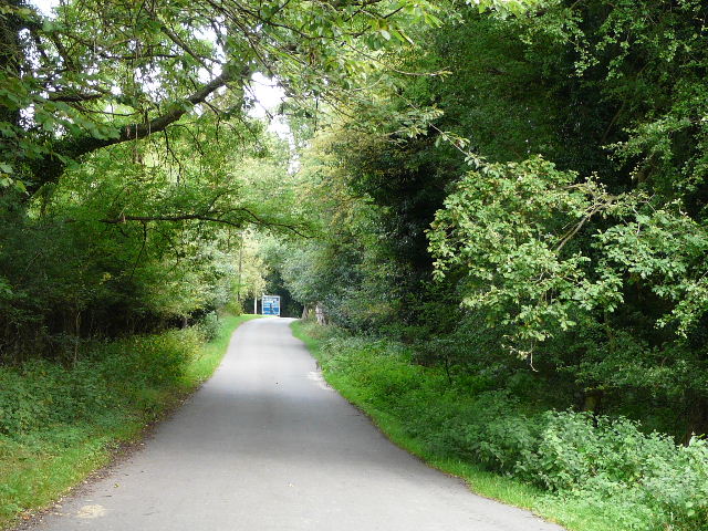
I left home about 9.15, and set off along the very familiar route along the Whipsnade Road, across fields to Dovehouse Lane and on to Holywell. From there I followed the usual path to Byslips Road, and made my way through the edge of Byslips Wood to reach the 'public highway' between Roe End and Studham Common.
The start of the path from the Whipsnade Road to Dovehouse Lane (coincidentally there was another Dovehouse Lane on the walk near Stevenage that I'd originally meant to do today!)
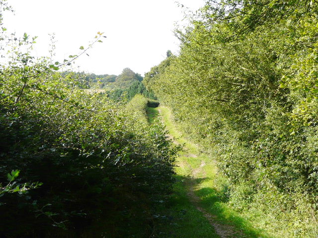
The path from Holywell to Byslips Road
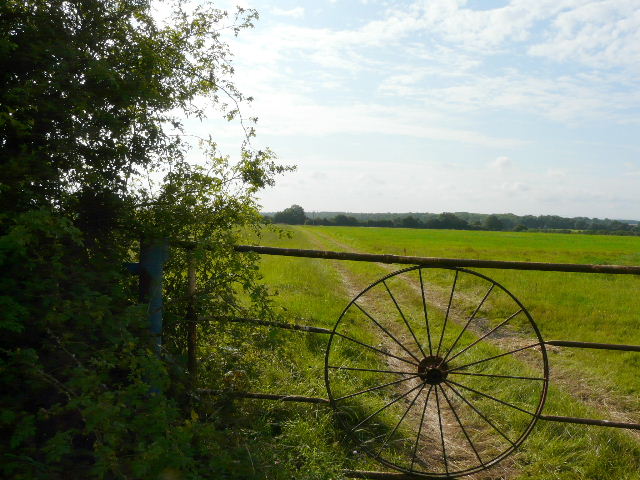
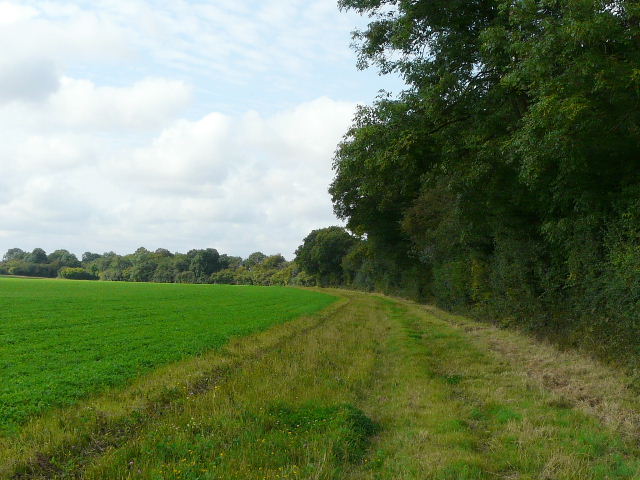
The 'public highway' heading to Studham Common
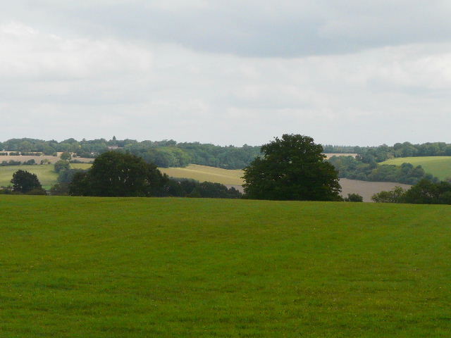
I walked up the side of Studham Common and continued past Great Bradwin's Wood to reach Clement's End, Studham. After a short road walk, I was back onto field paths that led me to the edge of Jockey End, the main part of Gaddesden Row. From there I continued on through Hoo Wood to reach Great Gaddesden, nestling in the Gade valley.
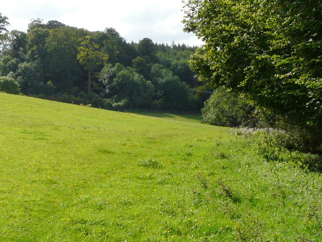
Looking across Studham Common towards Studham
Field path between Clement's End and Jockey End
Approaching Hoo Wood, between Gaddesden Row and Great Gaddesden
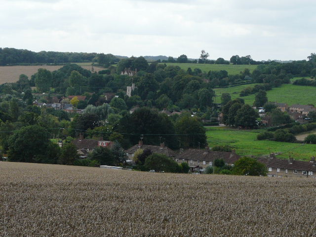
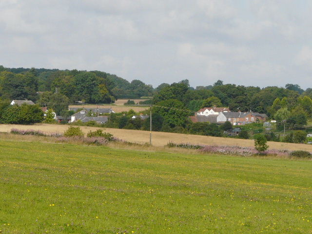
Great Gaddesden in the Gade valley, from the far side of Hoo Wood,
From Great Gaddesden, I took the usual path up the other side of the valley towards the Buddhist monastery. Initially I had to cross a large pasture containing about five cows and a couple of calves. I had to shoo a couple of cows out of the way, as they blocked the exit from the field - I remember I had the same problem (with a far larger number of cows) last year, I think the problem was the cows had been recently separated from their calves which they could see in the next field. At the top of the hill, by the monastery, I deviated from my original route, and instead of continuing on to Nettleden I turned right along St Margaret's Lane.
Path from Great Gaddesden to the Buddhist monastery and St Margaret's Lane
St Margaret's Lane
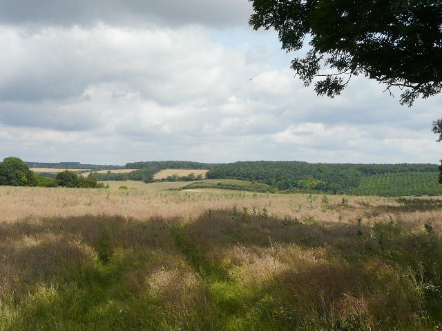
I followed the lane for about a mile and a quarter, the first half mile being part of the Hertfordshire Way before it took a path going right. The path was initially surfaced as it passed the farm of the same name, but later on became a hedge-lined track before being surfaced again as it passed a few scattered dwellings in Hudnall. There were occasional views over the top of the Gade valley to my right, especially near the end of the lane as I passed part of Hudnall Common. Earlier, I passed a point on the map intriguingly named 'Covetous Corner'.
St Margaret's Lane
Looking right from St Margaret's Lane, over Hudnall Common and the Gade Valley
At the end of the lane, I crossed a minor road and continued down a private drive, passing a few more of the houses of Hudnall. A short path past a small paddock brought me to a familiar path junction on the edge of the village. If I'd stuck to my original route, I'd have turned right here, crossing the Gade valley on a path that would take me back to Studham. My Kensworth-Ivinghoe Beacon route comes that way, and continues diagonally across fields to Little Gaddesden. But today I continued straight on, following a hedgerow path that I'd only used once before.
Private drive in Hudnall
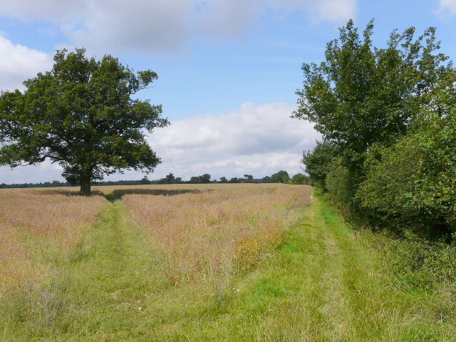
Path junction on the edge of Hudnall. I usually take the path on the left past the tree to reach Little Gaddesden, but today I continued ahead along the hedgerow.
Looking right from the same point - there is a path just out of shot on the right, which crosses the Gade valley to reach Studham. That is the way I'd have gone if I'd stuck to walking my Kensworth-Nettleden-Little Gaddesden route.
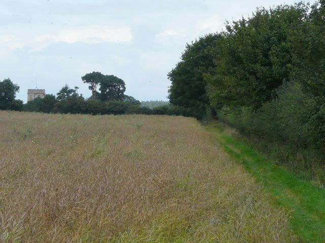
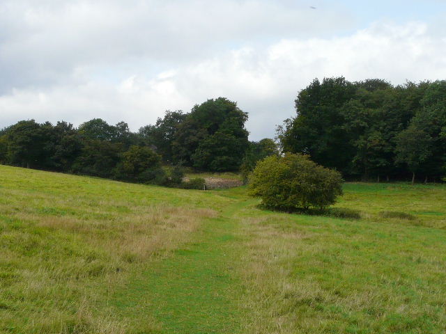
Following the hedgerow path towards Little Gaddesden church