Pete's Walks - Stockgrove, Woburn Sands, The Brickhills (page 1 of 3)
If you are considering walking this route yourself, please see my disclaimer. You may also like to see these notes about the maps and GPX files.
I did this walk of about 13.4 miles on Saturday, 22nd August, 2009.
For a change of scenery, instead of walking in the chalky Chiltern Hills I drove about a dozen miles north from where I live to Stockgrove Country Park, and did a walk around the western end of the Greensand Ridge. This is a belt of green sandstone that extends across Bedfordshire from near Leighton Buzzard to Gamlingay in Cambridgeshire - I had walked its entire length on the Greensand Ridge Walk in 2006. I had also passed through this particular section of the ridge, just west of Woburn, on the Milton Keynes Boundary Walk in 2007. On both occasions I had determined to come back and walk in the area again. I had got as far as looking at my maps on several occasions, but had never been able to work out a decent circular walk of reasonable length. But when I looked again the other day, I saw that there was a reasonably good looking walk available if I included the area of Stockgrove Country Park. In fact this turned out to be a very good walk indeed, and I'm sure I'll be back to do it again, possibly with one or two modifications.
I parked in the car park at Stockgrove Country Park (parking is free, but they suggest a £1 donation which I made). Other than passing through on the Greensand Ridge Walk, I'd never actually been here before, though it is a well-known local amenity.
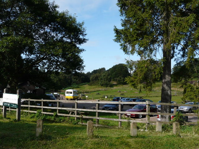
The car park at Stockgrove Country park, where I started the walk
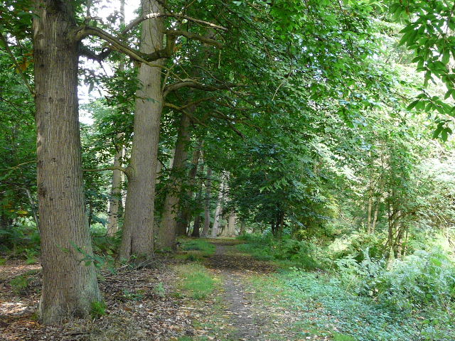
Across the road from the car park, an attractive path headed north through a tiny valley with woods either side. Soon it entered the trees and at a junction I joined a bridleway, part of the Greensand Ridge Walk, continuing north through the woods of Rammamere Heath. I then went diagonally across a pasture containing some black cows and calves, next to Rammamere Farm, and then followed a fence and hedge line eastwards, through a paddock and then a large empty meadow, to reach the edge of a wood.
The path across the road from the car park, an attractive start to the walk
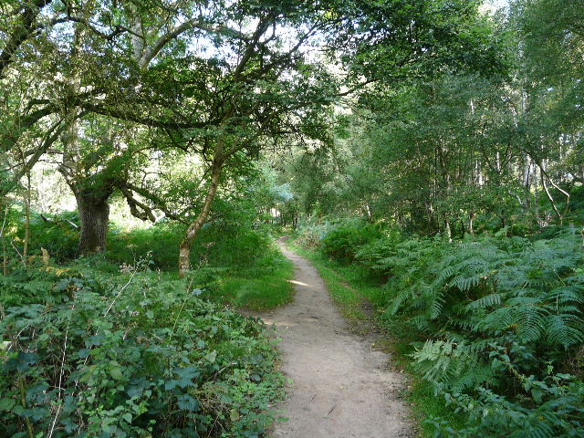
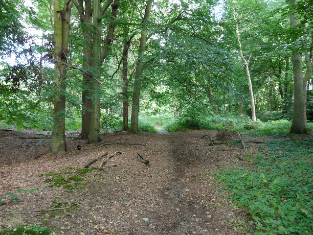
The path continuing through Rammamere Heath
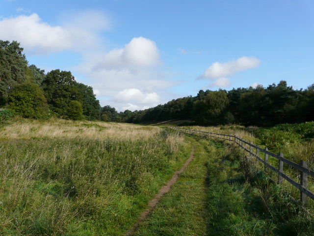
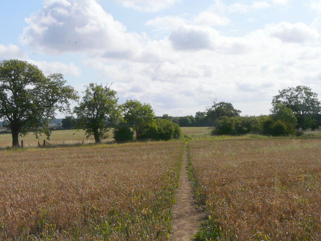
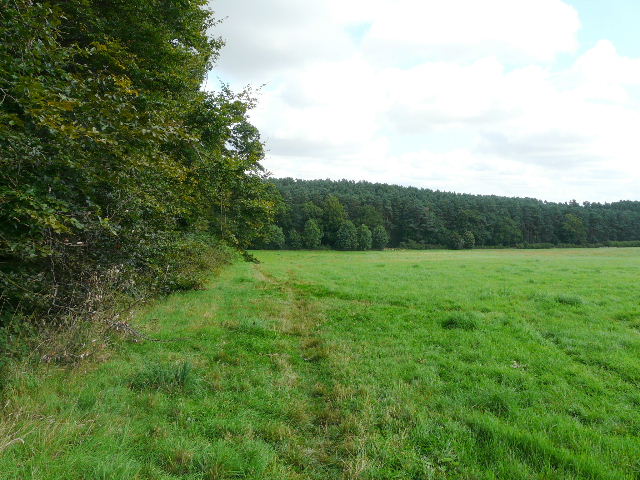
The path from Rammamere Farm follows this fence and hedge line, turning left when it reaches the wood
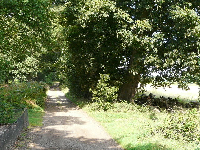
The path now turned left, following the edge of the wood through a couple of small fields where I saw the first of several Buzzards I would see or hear today. I carefully crossed the A5, continuing across a couple of fields where I looked around in the vain hope of seeing some Chinese Water Deer (I've seen them here occasionally when I've driven by on the A5). There were nice views southwards to the Chiltern escarpment, where I could make out Blows Downs, Dunstable Downs and Whipsnade Downs. Since Rammamere Farm I'd also been on the route of the Milton Keynes Boundary Walk, and as I turned left down a minor road I passed the place I'd parked for my penultimate walk on that route. After a hundred yards or so I turned left along a long and pleasant green track called Nun's Lane. This initially ran between Nun Wood on my left and some fields on my right, and along this section I spotted one or two dragonflies, including a male Southern Hawker. Further on, the 'lane' ran through Buttermilk Wood, where I got a brief glimpse of a female Muntjac Deer (the waymarks for the Greensand Ridge Walk bear a picture of these deer, and I saw one of them on almost every day of my walk on that long-distance path).
Field path immediately after I crossed the A5
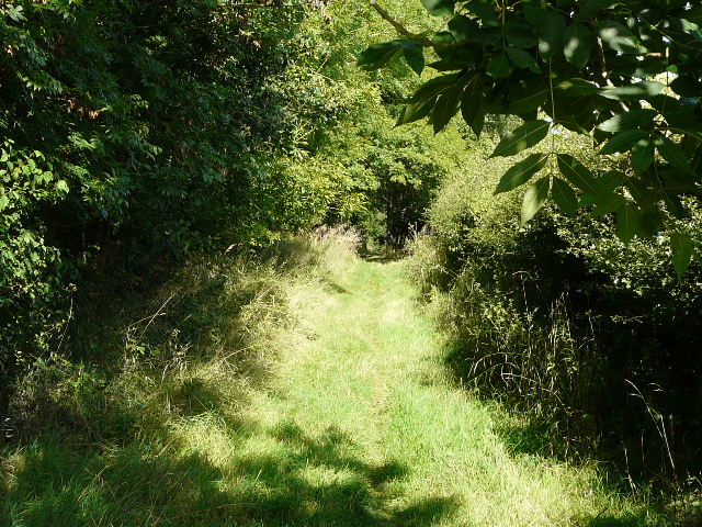
Near the start of Nun's Lane
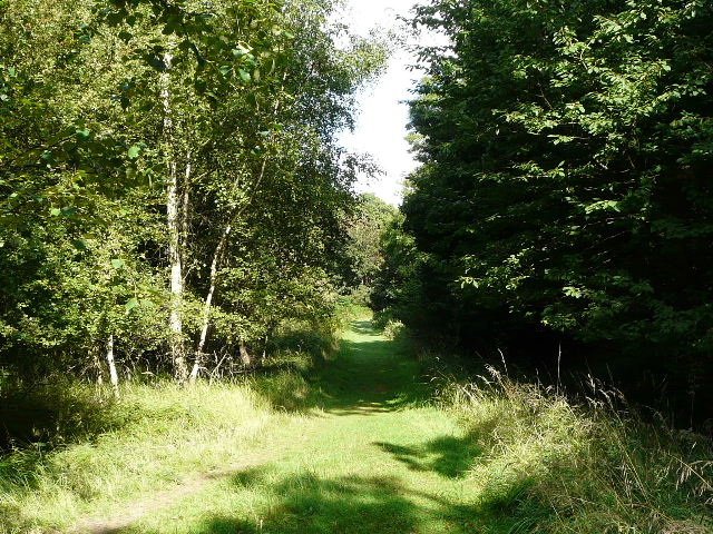
Further along Nun's Lane
After three quarters of a mile or so, the Greensand Ridge Walk turned right, but I continued ahead, still following the Milton Keynes Boundary Walk. There was a large block of sandstone at this junction which had once held a plaque with a poem on it, one of seven along the Greensand Ridge Walk that were set up to commemorate Queen Elizabeth II's Golden Jubilee. My route continued pleasantly through the trees to reach a minor road. I continued through the wood on the other side to reach part of the Woburn Golf Club. I passed some golfers as I followed paths through a corner of one of the three courses here, then joined a track alongside the driving range or practice area. Further on I turned right beside a large open area of grass - when I'd come this way before a sign had warned that it was an area used for training police dogs.
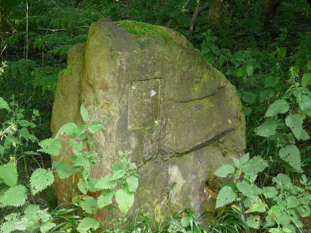
This block of sandstone once held a plaque with a poem on it, one of seven such poems dotted along the Greensand Ridge Walk to celebrate the Queen's Golden Jubilee
The continuation of Nun's Lane
Approaching Woburn Golf Club
Track between the Golf Club and its Driving Range
This field was used for training Police Dogs, according to a sign that was here when I walked the Milton Keynes Boundary Walk
I turned left for a few yards along another minor road to a junction, where I turned right onto a wide and sandy public byway. This ran between wooden palings either side, through yet more woodland, part of New Wavendon Heath I think (looking on the map). I could have followed the byway all the way into Woburn Sands, but after half a mile I turned right onto another bridleway, then almost immediately turned left onto a footpath. There is rather a maze of footpaths here - although the open space shown on the map no longer exists (it's now just the same as the surrounding wood or heathland), I managed to follow the route I wanted as the actual paths did match those on the map.
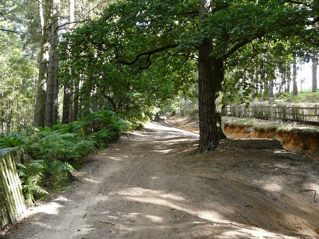
Near the start of the public byway to Woburn Sands
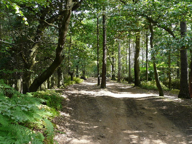
Further along the public byway
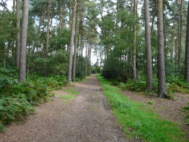
Footpath through New Wavendon Heath
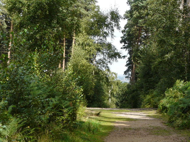
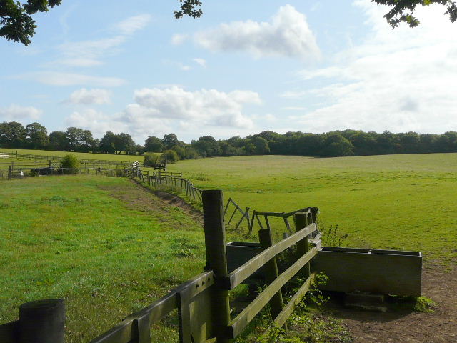
A brief glimpse ahead to the lower-lying region north of the Greensand Ridge, before the path turned right, into the trees again
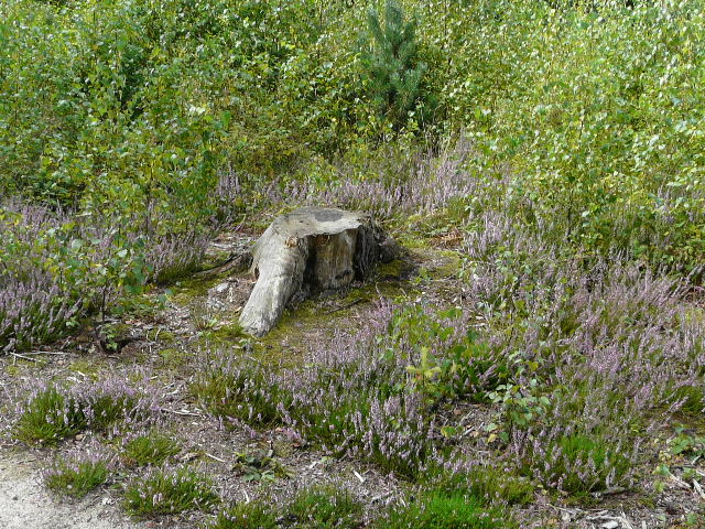
Some Ling (heather), something I don't see in the Chilterns! I passed through several areas today that were named heaths on the map, but in fact they were mainly woodland with few open areas of heathland.