Pete's Walks - Stockgrove, Woburn Sands, The Brickhills (page 3 of 3)
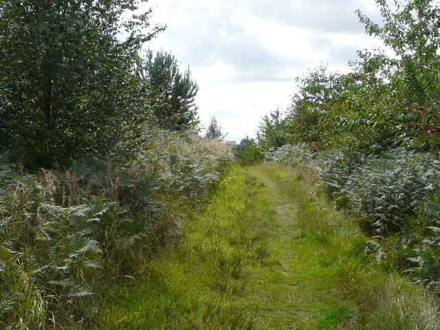
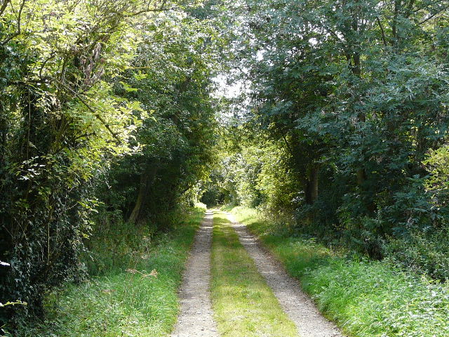
The bridleway near Back Wood
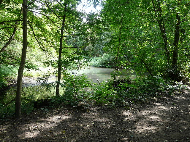
I came across a small waterfall at one point, which came as a real surprise - I can't think where see I may have seen one in this part of the country. A few yards further on there was an attractive pond on the edge of the woods. I stopped near to it and sat on a fallen tree to eat my lunch as it was now 1pm. I then initially turned right, crossing a boardwalk at the end of the pond where I saw Water Mint and Purple Loosestrife, but then I checked the map and realised that going that way would involve a long walk next to the busy A5, so I turned round and continued on the bridleway. It soon went right at a junction, then continued through a more open area to reach a road junction.
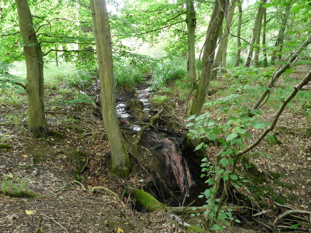
A tiny waterfall - very unusual in this part of the country!
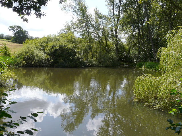
The pond on the southern edge of Back Wood, where I stopped for lunch
This is now Broomhills Wood
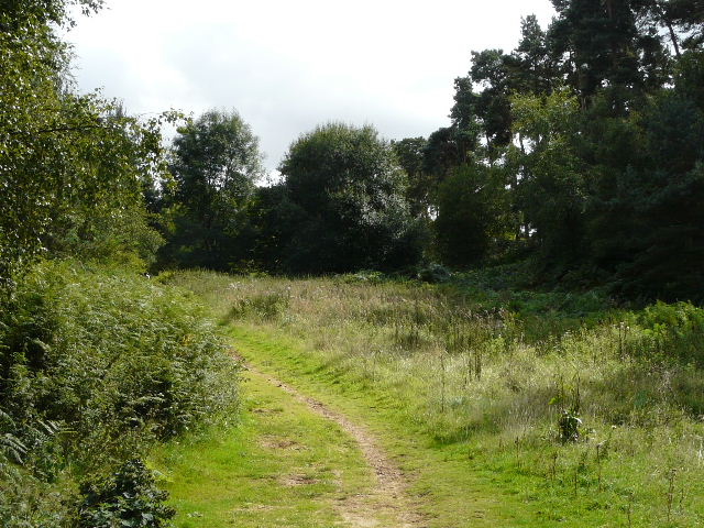
Approaching the road junction
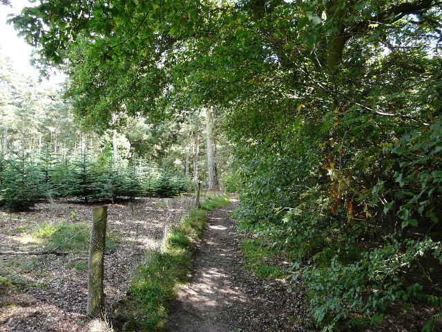
I followed a road ahead of me for a few yards, before turning right on a long straight path through a conifer plantation. The path then continued through a couple of wheat fields to reach a hedgerow that screened the A5 (this bit is actually a new section of dual carriageway opened a few years ago to bypass Little Brickhill, rather than the original Watling Street). I followed the hedge a few hundred yards to my left, then went over a rather unusual three-step stile to the main road. Once safely across the road, a faint path squeezed between trees and bushes to reach another similar stile, and the old road heading into Little Brickhill. I wandered up and down a bit here, as there was no sign indicating where the path continued, but a chap in a 4-wheel drive kindly pointed the way, down the drive of the house where he was parked. A couple of tiny terriers ran out barking (but wagging their tails) as I reached the gate at the bottom of the drive where the path entered the woods once more.
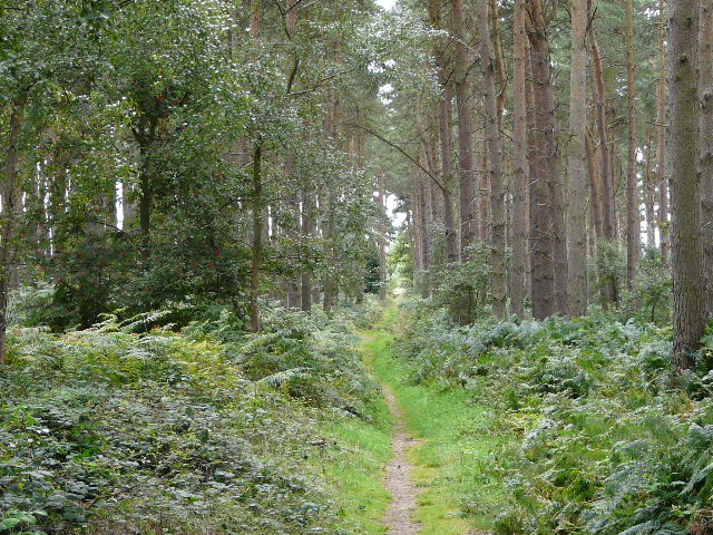
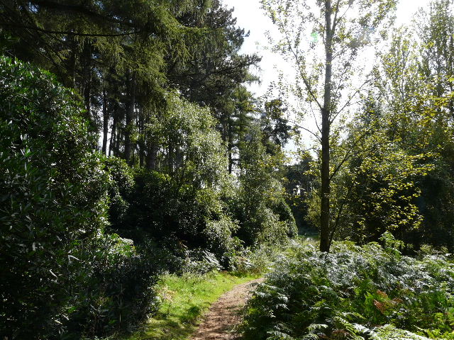
Path through the wood on the other side of the road junction
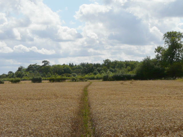
The path continuing through fields to the A5 (between the far hedge and the wood)
The path continued south-westwards through Dunscombe Wood, and on the far side joined a hedge-lined farm track that took me past Home Farm and on to the village of Great Brickhill. I turned left and followed a road through the village. As I passed the top of a street called Rotten Row, I crossed the route of the Milton Keynes Boundary Walk. The road descended to a junction in the centre of the village by a pub. I turned left, almost immediately forking left into Cliff Lane, which soon ended and was replaced by a bridleway.
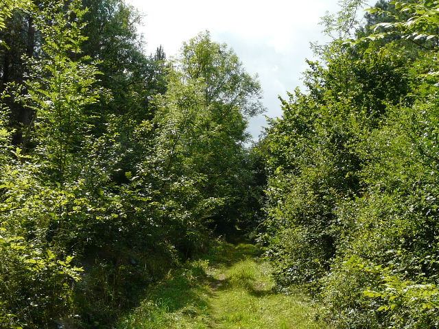
Path through Duncombe Wood, south of Little Brickhill
The track to Home Farm, Great Brickhill
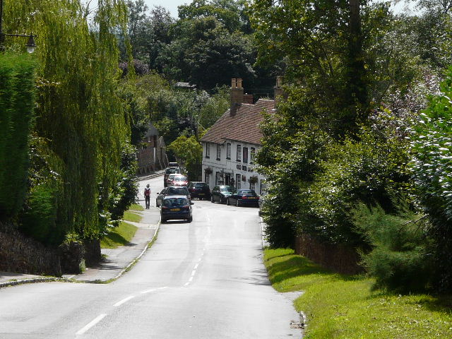
Great Brickhill
I now had another pleasant and lengthy section through woodland - a noticeboard confirmed that this was Oak Wood (I could have forked left at the start of the wood, but chose to take a slightly longer route back to the car park). I passed another, larger, pond, where three dogs were enjoying themselves hugely and noisily in the water. Beyond the pond I was walking along the western edge of the large wood, with nice views out to the fields on my right.
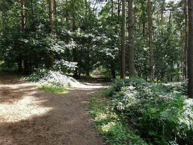
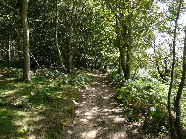
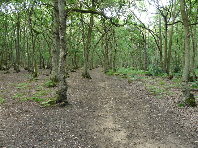
Path through Oak Wood
Pond in Oak Wood
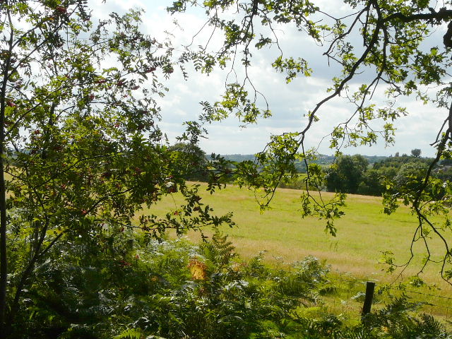
Looking west from the edge of Oak Wood
The path along the edge of Oak Wood
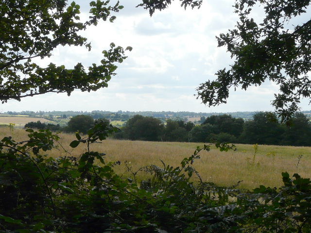
Another view looking west from the edge of Oak Wood
I then turned left and followed a path eastwards through the trees. I started to come across more and more people and their dogs, out enjoying the environs of Stockgrove Country Park on this lovely summer Saturday afternoon (the car park was full when I got back there). After half a mile, the path reached the British Legion hall on the edge of Heath and Reach, where I turned left on another path that continued northwards through the trees for another half mile to bring me back to the car park where I'd started.
The path heading east, back into Stockgrove Country Park
The path north, back to the car park
I had miscalculated the length of the walk as about 11 miles (I was only about two and a half miles out!) so couldn't really understand why it had taken at least an hour longer than I'd expected, until I measured the route on Google Maps afterwards. Even so, five hours and ten minutes for a 13.4 mile walk is a bit slow. I did take quite a few photos, and had to carefully navigate about two thirds of the route which I'd not done before, plus I had a couple of false starts where I set off down a path before changing my mind, so that probably explains it.
This was a really good walk, in an area I'd been meaning to explore for some years. The vast majority of the walk was through woodlands, and I was grateful for the shade of the trees as it was a warm day. I was a little disappointed that all the 'heaths' marked on the map were really woods, with very few open spaces, but at least I spotted some heather in at least one place. It certainly made for a change of scenery, with the paths all being very sandy rather than the chalk that I am used to. The woods were a mixture, but oak trees were far more common than the beech trees that dominate the Chilterns.
I'm sure I'll be back here sometime, to repeat this walk or maybe vary it slightly to take in some different paths. It's definitely a fine area for walking!