Pete's Walks - Markyate, Caddington, Blows Downs (page 2 of 2)
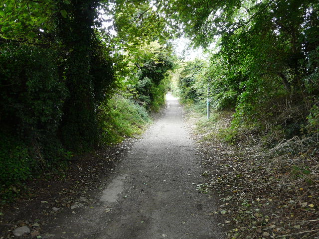
From Caddington I took a route to the eastern end of Blows Downs that was new to me, starting off along Folly Lane which began almost opposite the village green. This started as a narrow residential street, then passed a mobile home park, before becoming a track between hedgerows for a short distance. It then became a path beside Folly Wood, continuing alongside a hedgerow on the left.
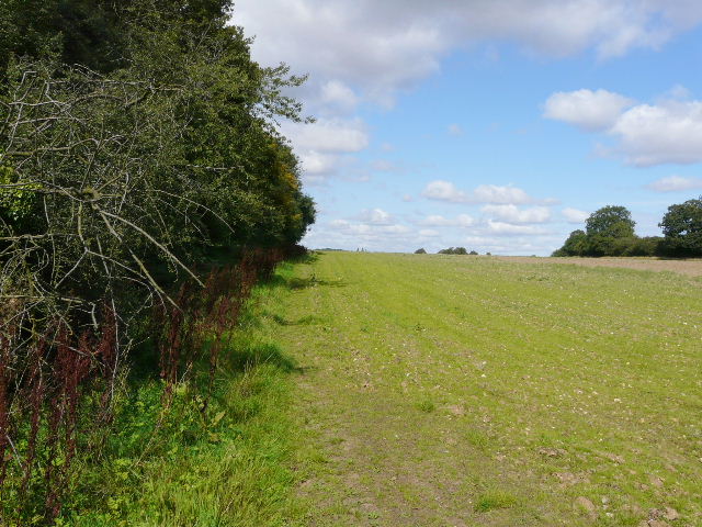
The path beside Folly Wood
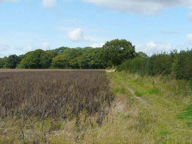
The footpath continuing from Folly Lane
Immediately after a hedgerow came in from the left, I went through a clear gap in the hedge as the map showed the footpath switched to the left of the hedgerow at this point. Unfortunately there was no clear path along this side of the hedge, although occasionally I thought there was evidence of someone walking this way before. It was awkward going making my way through the foot-high vegetation alongside the hedge, and the field corner I was aiming for seemed a long way off.
I was glad to see a gate and a sign when I eventually reached the corner. I was now entering Caddington Golf Club, and there was a signboard here with a small map showing the rights of way (it didn't tell me anything that wasn't on my map, which was printed before the golf course was created). The right of way actually forked at this point, but there were no waymarks, signs or any other indications of where exactly either path went. Studying the map, and looking around for evidence of where the former field boundaries went, I blundered across a couple of fairways in approximately the right direction. I came to a point where again two footpaths should have met - there was absolutely no evidence of the one I wanted that should have continued in the same direction, but there was a waymark sign some way to my left, so I followed that path instead even though it meant going round two sides of a triangle instead of following the hypotenuse. I turned right at the waymark sign, and followed a line of bushes between two fairways. When some golfers in the distance appeared to be about to tee off towards me, I switched to the right of the bushes - I soon passed another footpath sign which was surrounded on three sides by bushes, which hid it from sight and made it absolutely of no use whatsoever.
I reached the corner of the course where the map showed the two paths met up again, and I was relieved to see a gate and another notice board. As well as the small footpath map, this one had a larger map of the course, and a polite request that walkers use the permissive paths shown instead of the rights of way. Unfortunately it was badly faded and I couldn't make out the paths they meant anyway.
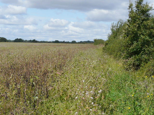
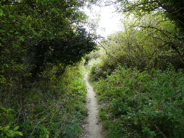
Overgrown footpath
Fortunately there was now a clear path running beside another hedgerow. I soon passed another wood on my left, and soon started to get a view of the lower land beyond Blows Downs which were now just ahead of me. After following another hedgerow for a while, the path ran for about a hundred yards between old hedges that met overhead, forming a rather claustrophobic tunnel, before reaching a metal kissing-gate that gave access to Blows Downs.
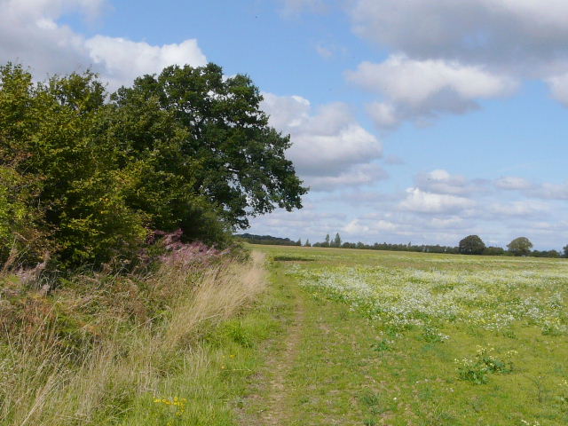
The path immediately beyond Caddington Golf Course
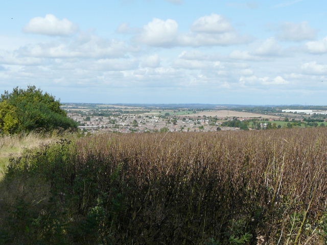
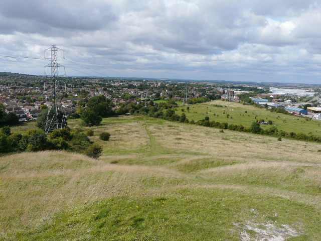
The path approaching Blows Downs, overlooking part of Dunstable and Luton
It was now just before 1pm and I sat on a bench here to eat my packed lunch, with a view over parts of Luton and Dunstable in front of me. I then turned left, and followed the long and pleasant path along the top of Blows Downs with much of Dunstable spread out before me.
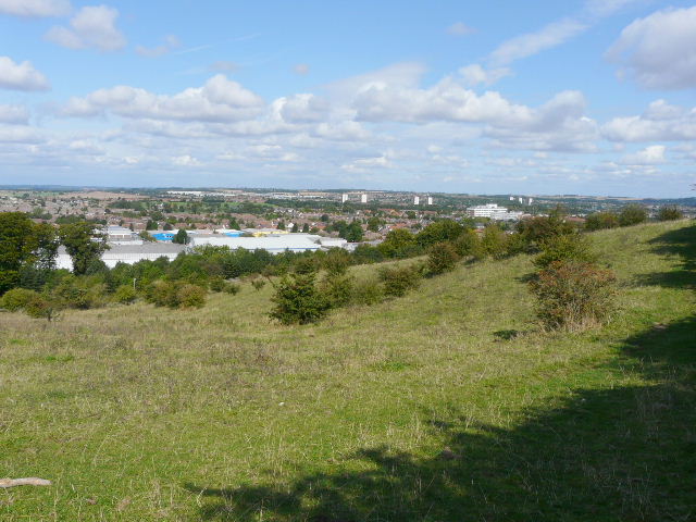
View from where the path reached Blows Downs, and my lunch stop
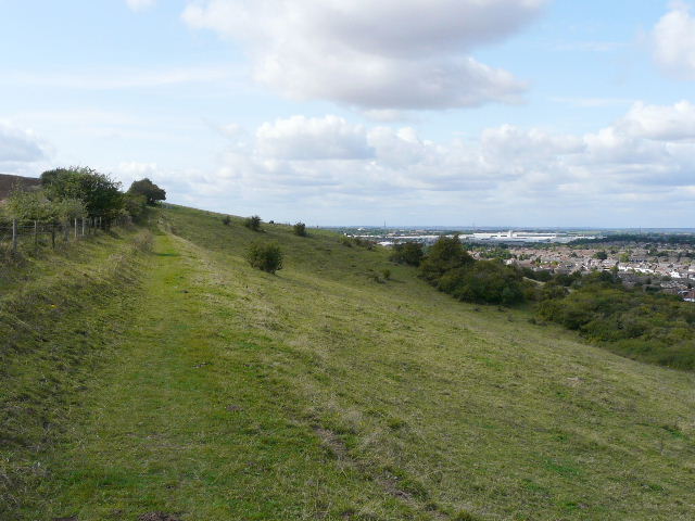
Path along Blows Downs
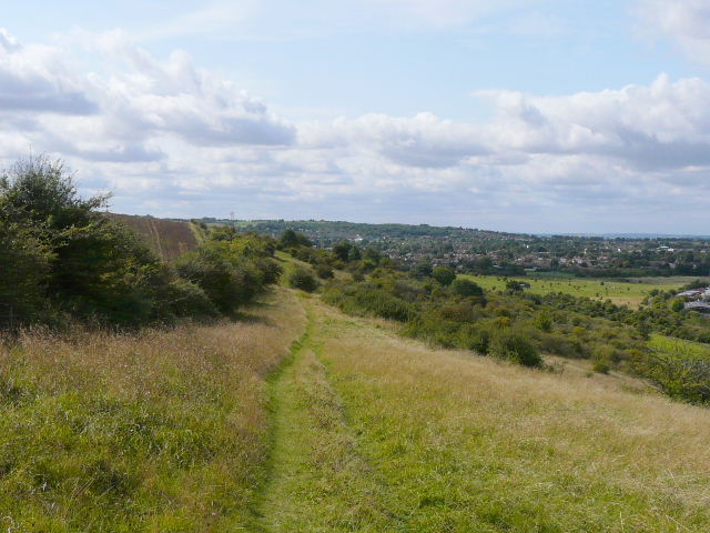
Path along Blows Downs
When I reached the corner where the Downs turn southwards, I made a change to my original plans and took the steep path down to Dunstable. I had planned on following Blows Downs a little further, then cutting across the southern edge of Dunstable and returning home via Beech Road, part of the quarry path, and Hollicks Lane. But, on a whim, I chose instead to follow part of the Icknield Way through Dunstable and up to Dunstable Downs. I'd walked about half the Icknield Way on my Berks-Essex Walk, but had omitted this section as I'd used the northern alternate route instead.
I went slightly wrong in a couple of places as I mad my way through the back streets of Dunstable, but this was of no great import as I wasn't really bent on following the Icknield Way exactly. Walking through a town is never really ideal, but it was nice to pass and photograph the wonderful Priory Church near the town centre. As usual I had to wait several minutes at the pedestrian crossing across High Street South - Dunstable is built around the historic crossroads where the Watling Street met the Icknield Way, so the town centre is divided into four quarters and getting from one to another is always an annoyingly time-consuming process. I followed a path through the edge of a recreation ground ('Bennets Rec') - I think the Icknield Way runs through a parallel side street for some reason. I then went down a path I'd wanted to walk for years, which I knew ran behind the large cemetery on West Street. But it was a surfaced path between fences and hedges and so not very attractive at all.
The path down to Dunstable from Blows Downs
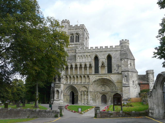
West front of Priory Church, Dunstable
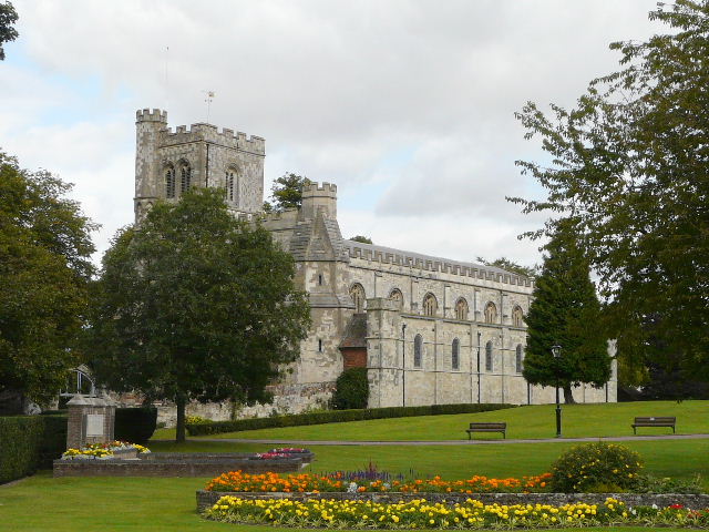
Priory Church, Dunstable
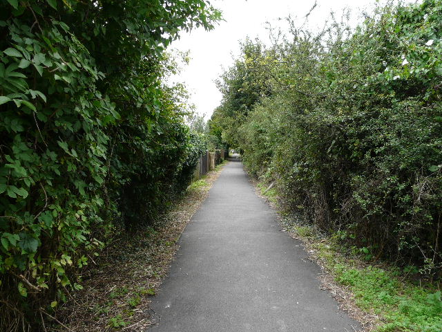
The path behind the cemetery in Dunstable
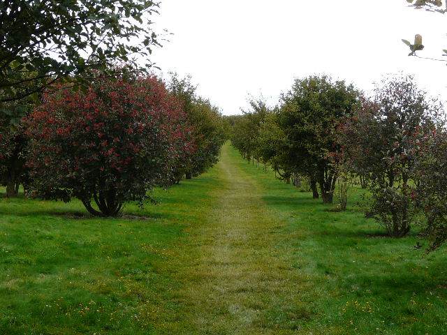
My purpose in coming this way was to enable me to walk the path that leads from Dunstable across Dunstable Downs Golf Course. I pass the far end of the path almost every time I walk to Dunstable Downs, where it is maybe a mile and a half from my home, yet I had never walked the path before. Starting by Queensbury School, the path begins along Buttercup Lane, but soon runs gently uphill between bushes and trees. When it emerged on the golf course, I thought at first I was going to have more navigation problems like those I'd had at Caddington, but a look at the map showed the path went just left of the clubhouse visible on the skyline ahead - I then saw two posts there, side by side, and twigged that the path went between them. I crossed the fairways in a beeline for the posts (inadvertently crossing one while two golfers waited to tee off on my left!). The two white and yellow posts could do with a new lick of paint to make them more readily visible, but thereafter the path through the golf course was very well marked indeed, including yellow lines showing the way through the car park. On leaving the golf course the path ran between wire fences for a hundred yards or so, to reach a path junction by the main road over Dunstable Downs, opposite the old car park.
Buttercup Lane, the start of the path to Dunstable Downs
The path to Dunstable Downs
The footpath through Dunstable Downs Golf Course, just beyond the clubhouse
I didn't cross the road (I've visited the Downs enough times!), instead turning left along a path that eventually goes back to another part of Dunstable, soon turning right for a few yards between trees to reach the long path round Kensworth Quarry. Here I turned right, soon reaching the drive to the quarry. I followed it for a few yards to my right, before turning left along the edge of a thin tree belt. The path then turned left through the trees, before turning right along a hedgerow with the huge quarry now visible to my right. After a few hundred yards I took the short path on the right that took me to Isle of Wight Lane, by Downs House.
The path round Kensworth Quarry, shortly before I turned off it
I then had a simple walk of about a mile, down Isle of Wight Lane and its continuation, Common Road. My return route from Dunstable Downs was the opposite to the start of my walk to Ivinghoe last Saturday - I commented then that it seemed odd that the road changed name at a seemingly arbitrary point by Isle of Wight Farm rather than at a road junction. I have since seen a map of the area from 100-odd years ago (in a book lent to my mother by one of her friends), and that shows that the private drive starting at the farm was then a named road (though still private). So there was once a road junction here - mystery solved!
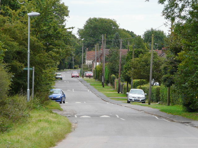
Common Road, Kensworth - the speed humps are a recent innovation, which do seem to have been effective against the 'boy racers'
I got home around 3pm, after about five hours and twenty minutes of walking. I still felt strong when I got back, better than I'd felt after the slightly shorter walk I'd done two days ago. It had been a lovely day when I sat out, but in the last hour or so it had turned grey and overcast (I eventually removed the sunglasses I'd put on near the start of the walk!). This hadn't detracted from what had been a very good walk though. The section through Dunstable wasn't that pleasant, unsurprisingly, but the rest of the route had been pretty good. The bit from Markyate to Caddington I'd only walked once before, in the opposite direction, and the same was true of the path along Blows Downs. The path from Folly Lane in Caddington to Blows Downs was new to me, but sadly I can't say that I'd be keen to do it again. Overall it had been a good walk, with one or two points of interest along the way.