Pete's Walks - Stockgrove, the Brickhills, Woburn Sands (page 2 of 2)
The lane out of Great Brickhill was the steepest part of the whole walk! On my earlier walk I'd gone slightly wrong and emerged on this lane a couple of hundred yards further east than I should have. Coming the other way, I was able to leave the lane at the correct point by a footpath sign, but soon had difficulty finding the correct path through the trees. After studying the map and checking the contours, I saw the correct path a little to my right. The whole area was confusing because of the number of paths and cycle ways amongst the trees, so I can understand why I went wrong last time. Anyway, once safely on the right path, it was easy to follow as I headed towards Woburn Sands. At one point I saw a large bank in the trees on my right, obviously the site of the Danesborough Iron Age hill fort - I'd seen it on the map but hadn't actually spotted it before. It started drizzling about the time I reached the hill fort, and unfortunately would do so for the rest of the walk with just one or two brief respites. I turned left, then right and left again as I made my way to Woburn Sands.
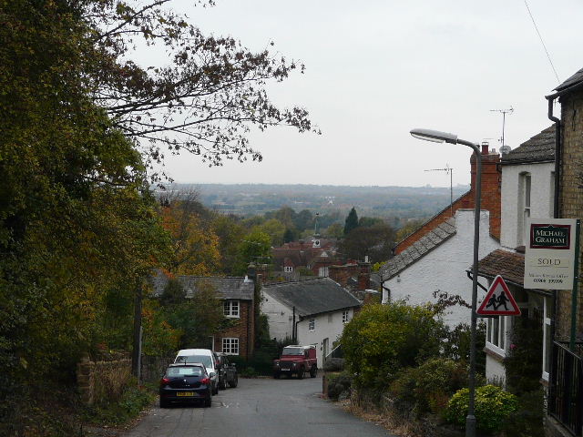
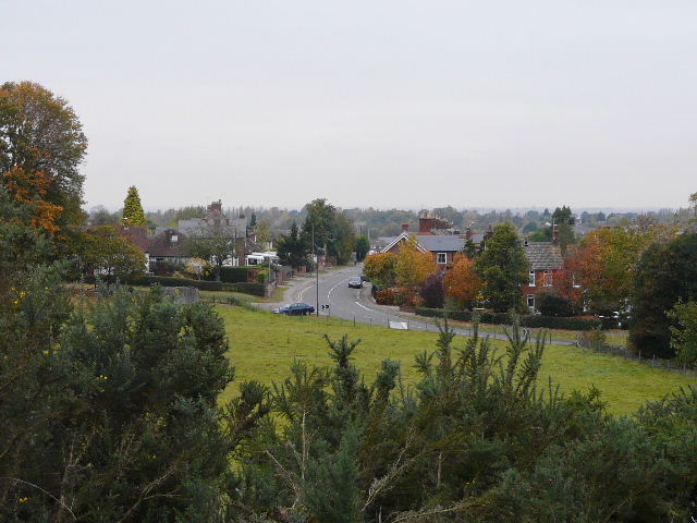
Bow Brickhill
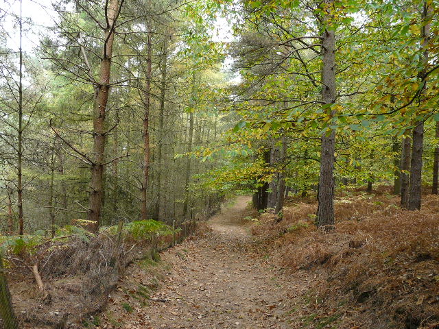
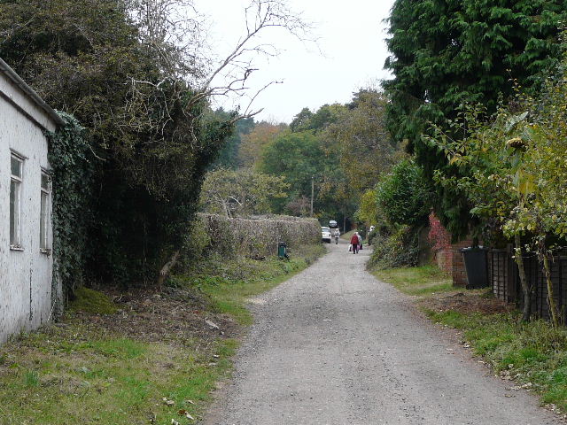
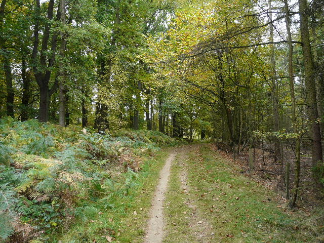
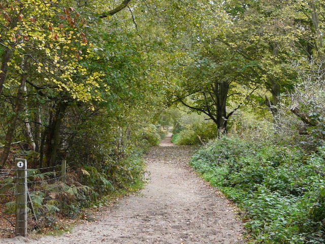
Path between Bow Brickhill and Woburn Sands, near the Iron Age hill fort of Danesborough
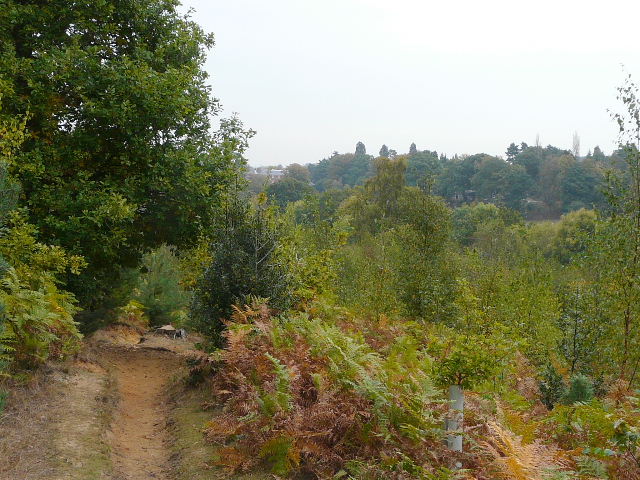
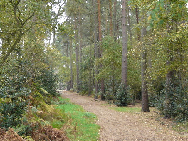
Sandy path near Woburn Sands
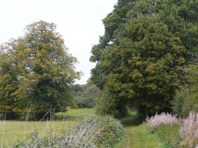
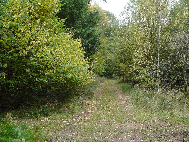
The path to Woburn Sands
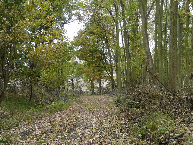
The path entering Woburn Sands
I left Woburn Sands along Sandy Lane - in fact I could have followed this byway for quite some distance, but chose to do as I did last time, and divert from it to explore the paths through Apsley Heath (another hotspot for cyclists). I spotted two separate Muntjac deer here.
Sandy Lane, heading out of Woburn Sands
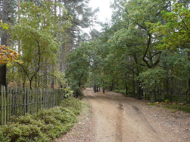
Path on Aspley Heath
Wide sandy track on Aspley Heath (the continuation of Sandy Lane)
Beyond Apsley Heath I passed part of one of the three courses at Woburn Golf Club, then crossed a minor road and continued along a lengthy bridleway called Nun's Lane. Along here I spotted another deer, but this time I'm fairly sure it was a Chinese Water deer - they are quite common around Woburn, and I've seen them nearby before.
Near the start of Nuns Lane
Nun's Lane
Nun's Lane
The road at the end of Nun's Lane was surprisingly busy, but I was only on it for a hundred yards or so. I then had to cross two large fields that had been ploughed and harrowed without the path being reinstated, the soft soil being rather tiring on my legs at this late stage in the walk. After re-crossing the A5 (single carriageway here), a path alongside the hedgerows of a sequence of pastures took me to Rammamere Farm. It was then just a short walk through the woods of Rammamere Heath and through a pleasant pasture in a small valley with woods either side to get back to the car park.
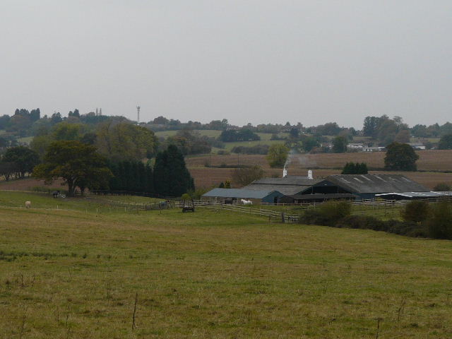
Approaching Rammamere Farm
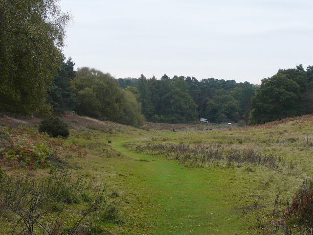
Path back in Stockgrove Country Park
Returning to the car park
Again this walk through the sandy soils of the Greensand Ridge made a pleasant change from the chalky Chiltern Hills where I usually walk. The vast majority of the walk is in very pleasant woodland, in fact there is probably more woodland on this walk than any other that I've done (including the two long walks I do round Ashridge!). Despite the slight drizzle during the second half of the walk, it was a really enjoyable day, though for some reason I was feeling unusually tired towards the end.
I was surprised to see some Red Campion still in flower in a couple of places. I also saw (and heard!) a lot of Jays.