Pete's Walks - Goring and Mapledurham (page 1 of 2)
If you are considering walking this route yourself, please see my disclaimer. You may also like to see these notes about the maps and GPX files.
I did this 13 mile circular walk on Wednesday, 27th January 2010. It was a repeat of Walk 20 of my Chiltern Chain Walk, with a slight variation at the start.
I'd been looking forward to doing a walk near the western end of the Chilterns for sometime, it's been about 18 months since I last walked there (when I did this route in June 2008). I'd been waiting for a nice sunny day to do it on, but gave up and chose to do it despite the forecast being for grey clouds.
I made two very stupid mistakes right at the start of the walk. Firstly, I didn't have very much change to use at the car park - instead of getting more change at a shop, I just paid £1.80 for five hours parking. This meant I had to get back to the car by 3.15pm, and consequently I felt a bit under pressure throughout the walk, hurrying more than I would do normally and keeping an eye on the time and my progress. I really disliked the pressure of having to be back at a certain time, I much prefer to be free to spend whatever time I like on a walk (not that there were any reasons for lingering today, as it was cold and grey and wildlife sightings were few and far between). As it happened, I managed to get back to the car with about 20 minutes to spare.
The second stupid mistake came as I turned onto the path beside the River Thames. I could see straight away that the water level was much higher than usual and a chap walking his two dogs warned me I'd need Wellington Boots to get through a flooded section of path about a quarter of mile further on. I said I'd take a look anyway. When I got there, I could see there was a section of maybe 15 feet that was flooded, then a few feet of path followed by maybe 10 feet more that was flooded. It didn't look too deep, so stupidly I tried to make my way through. I almost got through the first section OK, but just felt water come over the top of one of my boots. The second section of water though was clearly just too deep to go through without it going over the tops of my boots, so I had to go back (and of course it now went over the top of my other boot!). So now I had damp feet that would inevitably lead to blisters, and I'd had to turn back anyway. What was really stupid was that I knew that there were a couple of paths linking the riverside path with an alternative route to Gatehampton Manor (where the riverside path joined at a bridleway). In fact I'd just passed the start of one of those paths!
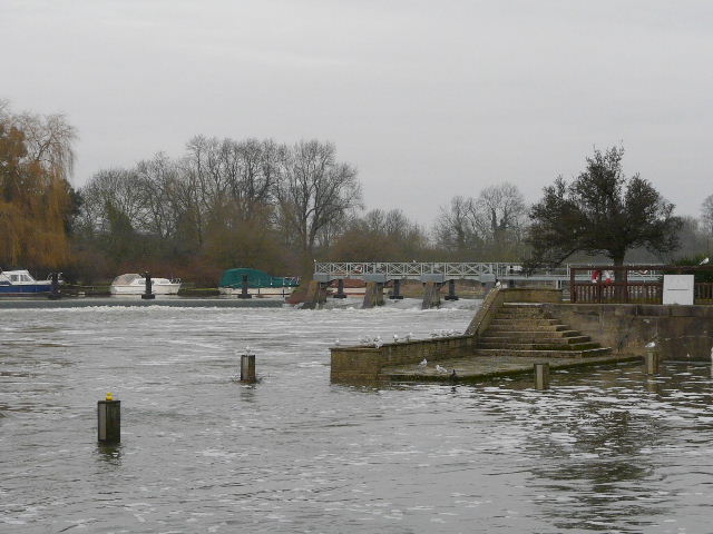
The Thames at Goring - I could see immediately that the water level was higher than usual
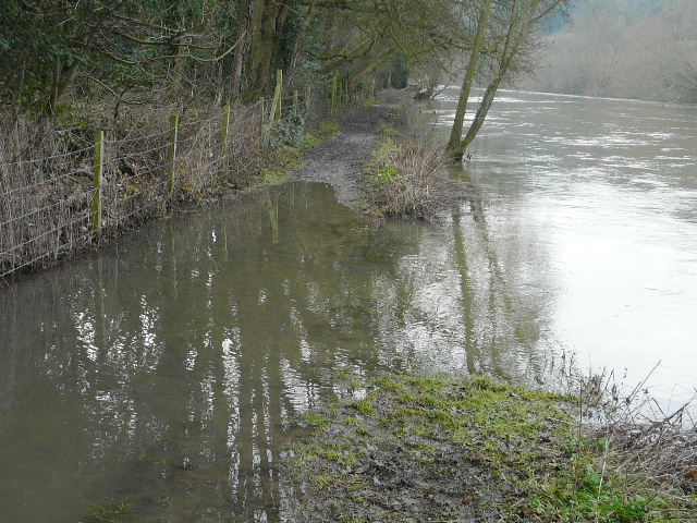
Flooded path beside the river at Goring
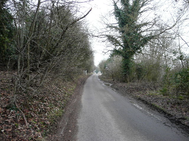
I now did the sensible thing that I should have done in the first place, and followed the path that led away from the river, between fences and then garden hedges. It lead to Manor Road in Goring, where I turned right. At its end I continued along a farm track, eventually having to go under a bridge in a long railway embankment. A farm track continued towards Gatehampton Manor, where I picked up a bridleway and soon came to the junction where the riverside path came in on my right. At least I'd got to walk some new paths today!
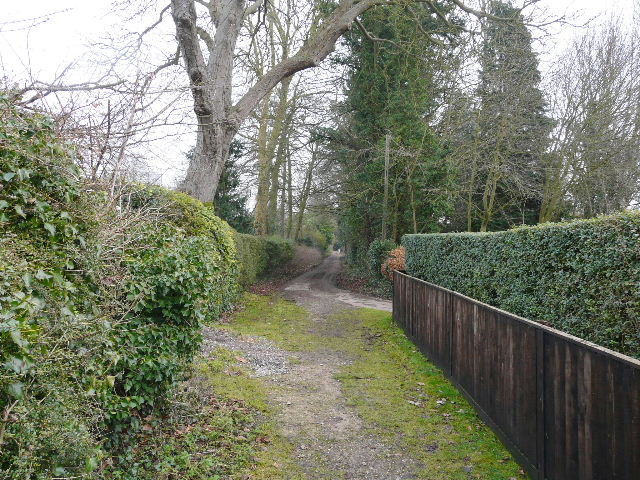
The path between the river and Manor Road
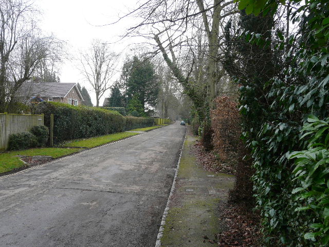
Manor Road, heading southeast out of Goring
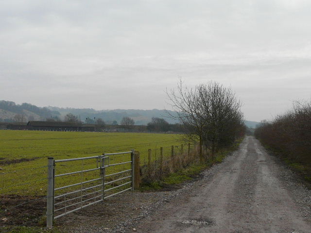
The track to Gatehampton Manor, with the railway embankment and the Chiltern Hills visible on the left

The railway bridge
Approaching Gatehampton Manor

Near the start of the bridleway from Gatehampton Manor to Whitchurch-on-Thames
Now back on my original route, I followed the lengthy bridleway towards Whitchurch-on-Thames. The river Thames was still to my right, with the edge of the Chiltern Hills to my left. The bridleway was soon running through woods, with the river just a few feet away down the slope on my right. Beyond the woods, the bridleway ran a short distance between hedges and fences, crossing a small valley with wooden steps either side. The bridleway then joined a lengthy private drive which passed a few cottages and farms before reaching a road on the edge of Whitchurch-on-Thames.

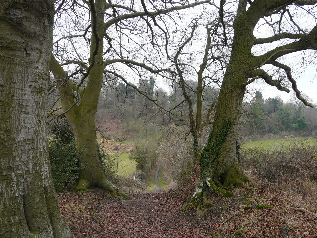
The bridleway running through Lower Hartslock Wood, beside the Thames
The bridleway to Whitchurch-on-Thames - they're not really visible, but this was the start of a short section of wooden steps descending into a small valley
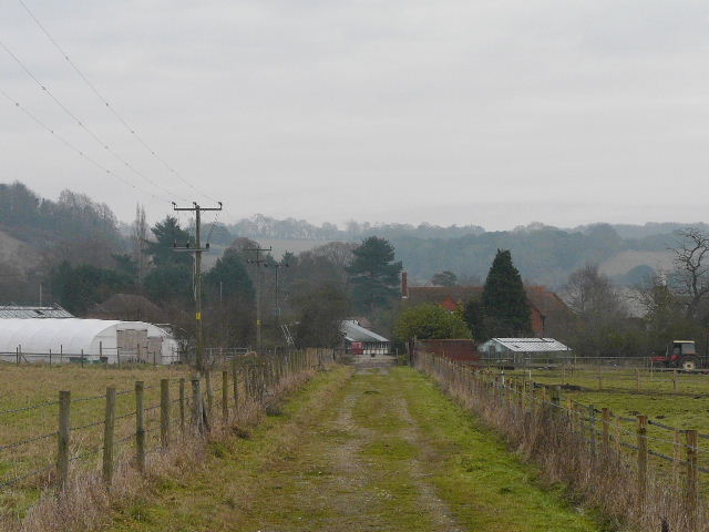
Continuing along the long private drive to Whitchurch-on-Thames
I turned right, carefully following the road which here narrowed to a single lane, and then turned left along a road that would soon take me back out into the countryside. I passed a large alpaca farm, with large numbers of these endearing creatures in numerous fields on either side of the lane. Where the lane turned sharply left, I continued ahead on a bridleway along the drive to Hardwick House. There was some floodwater in the paddocks over to my right.
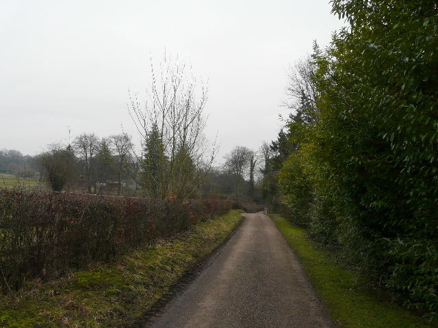
The lane leaving Whitchurch-on-Thames
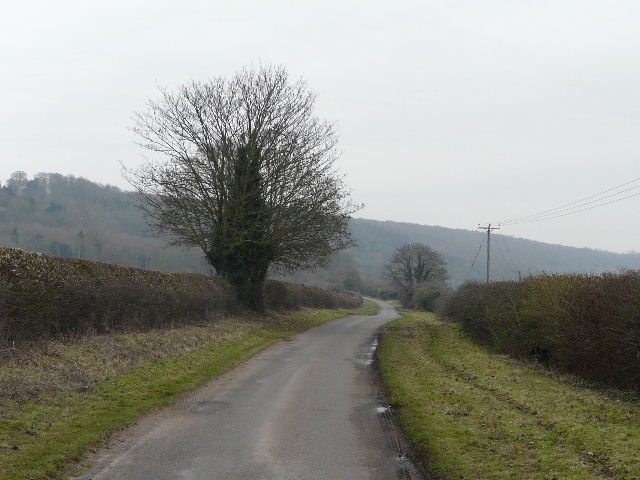
The lane from Whitchurch-on-Thames - there were alpacas in the fields on either side
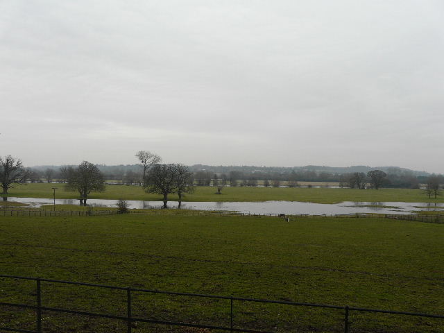
Floods in the Thames valley near Hardwick House
The bridleway continued as a good track beyond Hardwick House as far as a lodge on the edge of the Hardwick estate, then became a narrower track between hedges. There were occasional views over the Thames, across the fields to my right, and ahead towards Mapledurham, but it was a very grey and dismal day so the views were pretty poor. In fact as I approached Mapledurham it started to rain slightly, so that convinced me not to bother to take my usual quarter mile detour into the village but just to turn left into the lane at the end of the bridleway. I was already worrying about whether I'd get back to the car park in time anyway.

The bridleway past Hardwick House
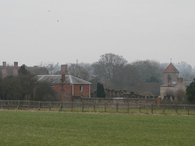
Close-up shot of Mapledurham, from near the end of the bridleway