Pete's Walks - Watlington Hill, Swyncombe, Russell's Water (page 1 of 4)
If you are considering walking this route yourself, please see my disclaimer. You may also like to see these notes about the maps and GPX files.
Google map of the walkDownload GPX file of the walk
UPDATE 30/10/2023: You now have to pay (£3 a day, I believe) at Watlington Hill car park, unless you are a National Trust member.
I did this 14.5 mile circular walk on Saturday, 27th March 2010. I fancied starting another walk at Watlington Hill and also wanted to walk a few footpaths and bridleways that I'd not done before. After a quick study of OS Explorer map 171, I managed to come up with this route that combined some familiar paths with four or five sections that would be new to me.
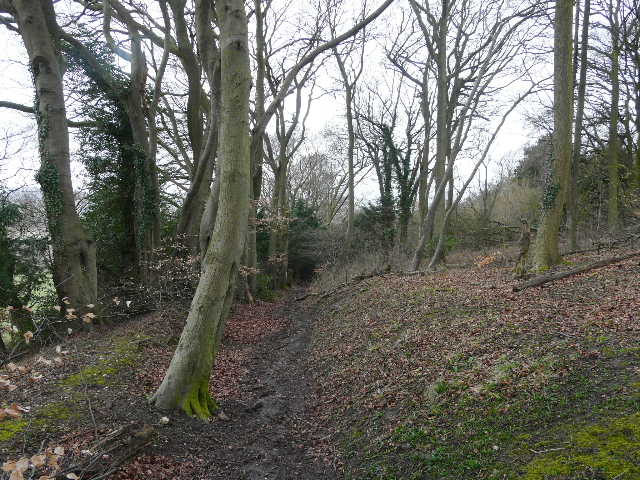
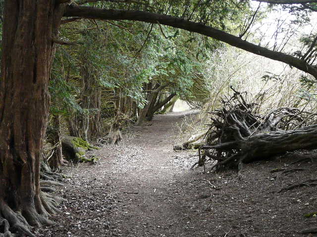
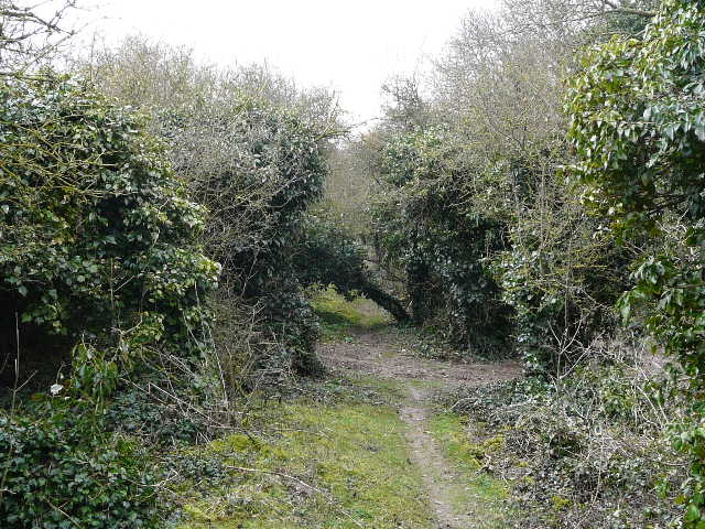
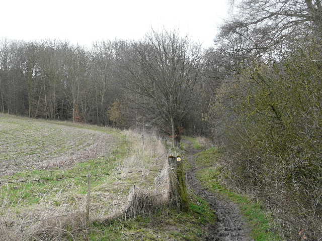
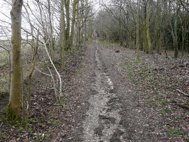
I managed to get up rather early for me and set off from home about 8.30am, the journey to Watlington Hill taking just under an hour. I hurriedly put my boots and gaiters on and set off, as I wanted to get away before a large party of girls with heavy-looking rucksacks that were assembling in the car park (I think I saw some of them again later in the day at Pishill church). I took the path that starts beside the car park (grid reference SU 709936), going down the southern edge of Watlington Hill and soon came to a fork. I have always previously followed the Public Footpath which takes the right fork, but now chose to take the left fork instead for a change (the two paths rejoin at the foot of the hill). This path ran just inside the edge of the wood, with fields just feet away to my left. This path had the novelty of being new to me, but was definitely a far inferior route to the Public Footpath as it was enclosed by trees (including a large number of Yews) all the way down the hillside, so I didn't get the views ahead towards the Oxfordshire plain that I would have got if I'd taken the right fork. I did get to see some Violets and some Dog's Mercury though, both of which I'd see again frequently on this walk.
Near the start of the path down Watlington Hill, just after I'd forked left from the Public Footpath
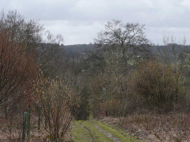
The path down Watlington Hill, past the Yew trees
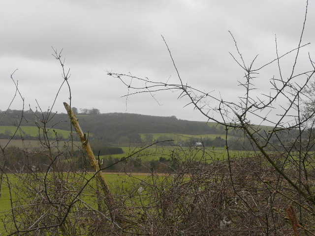
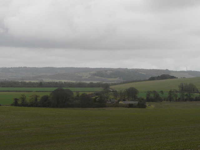
This was about the best view I got from the path down Watlington Hill - the views from the Public Footpath are vastly superior
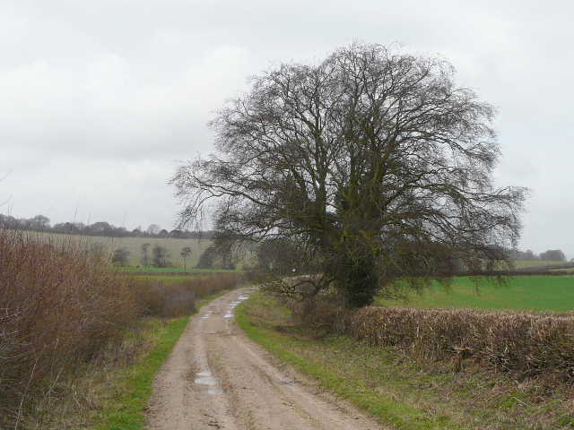
At the foot of the hill the paths merged and continued between hedgerows to reach the end of a drive and the Watlington-Nettlebed road. I turned right for a little distance, then turned left where the Ridgeway National Path crossed the road, immediately joining a permissive path that runs alongside a hedge to the left of the Ridgeway (which here runs on a surfaced drive). I joined the Ridgeway properly just before Lys Farm House, but soon took a walkers-only path to the left of the bridleway to avoid the mud of the main track. I soon rejoined the main track, which crossed a lane near Britwell Salome and then reached a path junction by North Farm. The Ridgeway turned left here, but I continued ahead (on part of Swan's Way) towards the western end of Swyncombe Down.
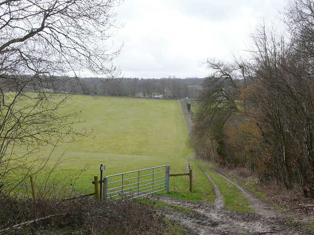
The permissive path beside the Ridgeway, heading towards Lys Farm House
Another permissive path beside the Ridgeway, beyond Lys Farm House
The Ridgeway, heading towards the crossing of a lane southeast of Britwell Salome
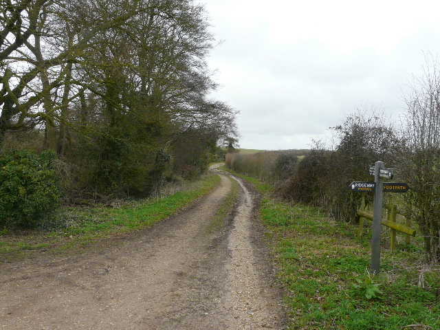
Path junction by North Farm, where the Ridgeway turns left to cross the eastern end of Swyncombe Downs. I went straight on, following Swan's Way, to reach the western end of Swyncombe Downs.
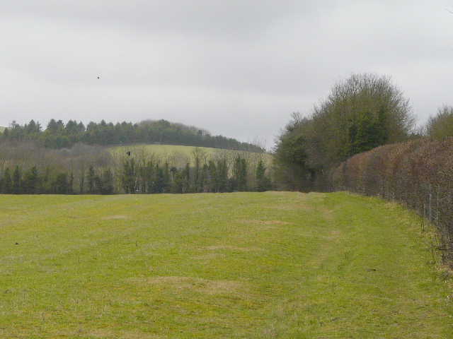
Swan's Way, approaching the wood on the west end of Swyncombe Downs. I would turn left, just inside the edge of the wood - you can see how that path is at an almost constant gradient.
As I continued along the track, I spotted a Yellowhammer on top of a bush on my left. When I reached the wood that covers the slopes at the western end of Swyncombe Downs, I took a path going left. This was soon rising straight uphill at an unusually consistent gradient, just inside the wood with a huge ploughed field to my left. This was another new path to me, I normally take the Chiltern Way route that goes up through the far side of the wood. The views at the top of the hill were a little restricted today because of the grey overcast conditions, but I could look back to Watlington Hill and the line of the Chiltern escarpment continuing beyond it. I spotted another Yellowhammer here too, and saw some Buzzards as well (I'd already had some Red Kite sightings, and would have plenty more throughout the walk).
Start of the path up Swyncombe Downs
The path up Swyncombe Downs - dead straight and at the same gradient almost all the way
View back north-east over North Farm to Watlington Hill from Swyncombe Downs
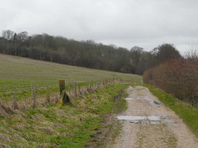
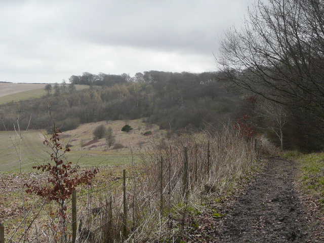
It was then a pleasant stroll eastwards along the top of Swyncombe Downs, following a section of the Chiltern Way, with the ditch known as the Danish Intrenchment just to my right (it's thought to have possibly been made when the Danes tried to occupy southern England in the 870’s but were repelled by King Alfred). At the eastern end of Swyncombe Downs, I rejoined the Ridgeway (that had come here directly from North Farm), and turned right (due south) towards Swyncombe. It was quite a steep but very short pull over the top of the Downs here, and then there was a steepish up-and down either side of a valley to reach a lane junction. I went straight on, following the short lane into Swyncombe, where I took my usual photo of St Botolph's church.
The path along the top of Swyncombe Downs
Path over the eastern end of Swyncombe Downs (part of both the Ridgeway and the Chiltern Way)
The path continuing across a valley, just before reaching Swyncombe
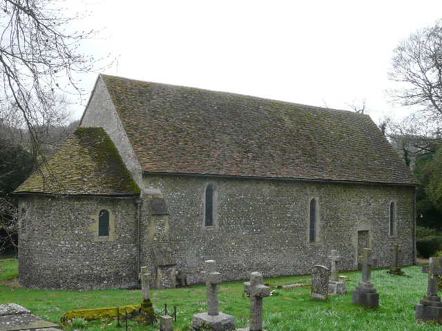
Swyncombe church, one of my favourites - it dates back to the 11th century