Pete's Walks - Pitstone Hill, Ashridge, Dagnall (page 1 of 3)
If you are considering walking this route yourself, please see my disclaimer. You may also like to see these notes about the maps and GPX files.
I did this 12.8 mile circular walk on Saturday, 3rd April 2010. The weather forecast wasn't too good (both light showers and heavy showers at different times of the day) so I chose to do a local walk, saving any new walks I could do for another time. This walk was a repeat of one I did last September, but in the opposite (anti-clockwise) direction. There would be a couple of paths that I'd be walking in that direction for the first time.
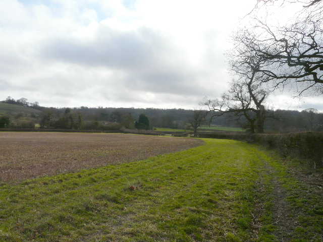
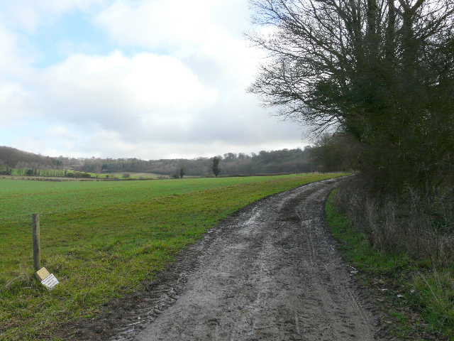
I started out from the car park near Pitstone Hill about 9.30am, soon admiring the views from the adjacent hillock. I didn't go up Pitstone Hill itself, but soon turned left on a field path that headed back towards the lane to Aldbury. I followed the lane right for almost half a mile, before turning left onto a bridleway that started at a busy stables.
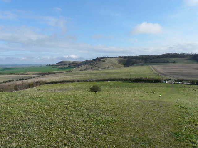
From the top of the hillock by the car park for Pitstone Hill - looking back over the car park to Steps Hill and Ivinghoe Beacon (left), which would be the last section of this walk
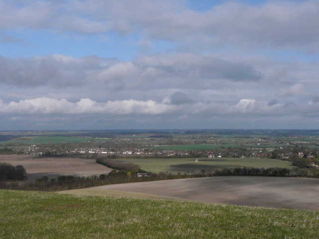
The Vale of Aylesbury from the same spot - Pitstone Mill is just visible in the middle of a field (centre), between Pitstone (left) and Ivinghoe
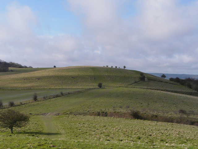
Pitstone Hill from the hillock - I wouldn't go up it today, but would turn left by the bush in the centre of the photo
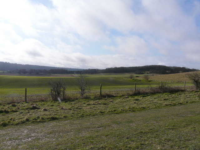
Looking in the direction of the footpath from Pitstone Hill towards the lane to Aldbury
The path approaching the lane to Aldbury
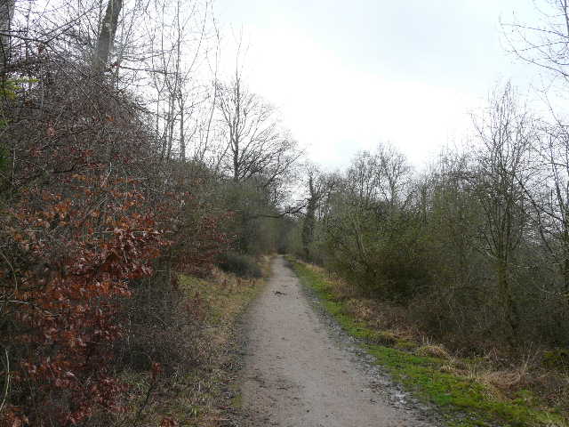
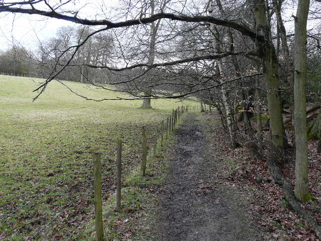
The bridleway just beyond the stables
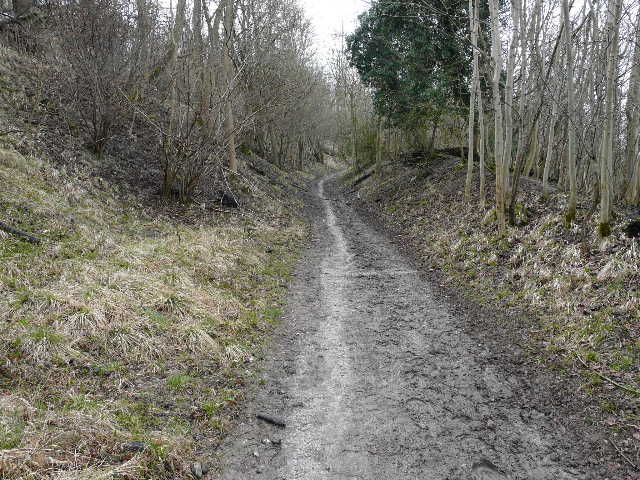
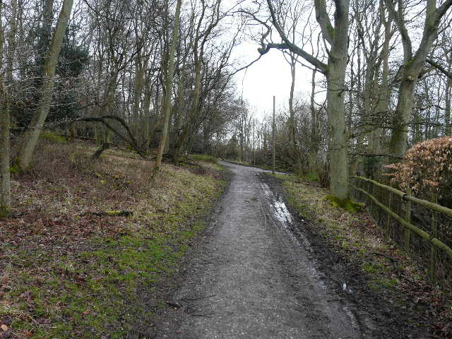
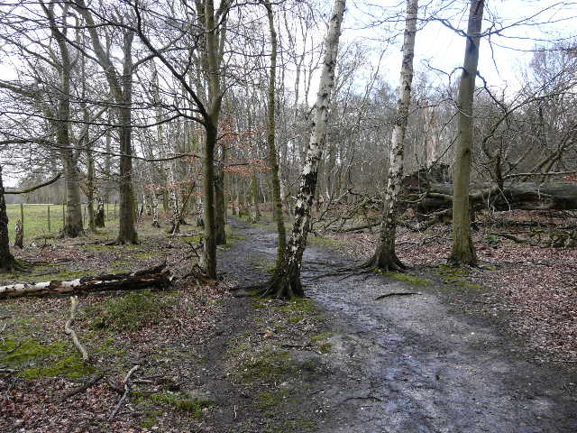
It had been reasonably sunny as I set off, but already the skies were predominantly grey. The bridleway was soon climbing steadily uphill into the woods of the Ashridge estate. It didn't quite reach the top of the escarpment, but levelled out and contoured along the hillside. It passed a couple of cottages just below the Bridgewater Monument (where I spotted a Long-tailed Tit and a Redwing), and eventually reached the bridleway from the Monument to Aldbury. I followed this right for a short distance, before forking left along another bridleway contouring along the hillside. I passed a good viewpoint looking out over Aldbury towards the Vale of Aylesbury.
The bridleway rising up into the woods of Ashridge
The bridleway running near the Bridgewater monument (out of shot a little distance to the left)
The bridleway a little further on
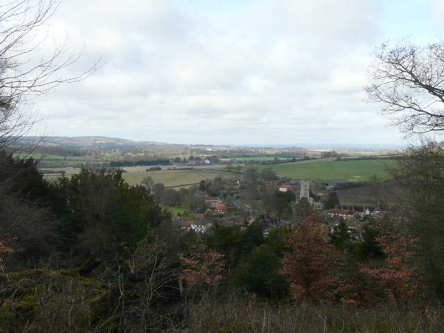
View out over Aldbury from Ashridge
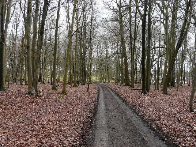
After several hundred yards the bridleway reached a path crossroads, where I turned left by another isolated cottage that was currently surrounded by scaffolding and sheeting. I now followed this bridleway all the way to the Ringshall-Berkhamsted road, continuing on the other side along the lengthy avenue of beech trees. After a while this was running alongside a huge pasture entirely enclosed by the woods of the Ashridge Estate, here marked Berkhamstead (sic) Common on the map. At the far end of the pasture I reached Woodyard Cottages, where I turned left, following another side of the huge pasture before turning half-right into the trees and then right again onto a track heading for Ashridge House.
Bridleway to the Ringshall-Berkhamsted road
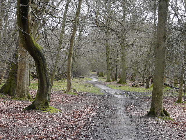
The avenue of beech trees on the other side of the Ringshall-Berkhamsted road
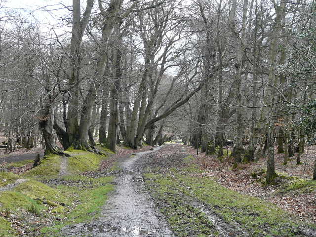
The bridleway further on, beside the huge pasture surrounded by the woods of Ashridge
Path between Woodyard Cottages and Ashridge House
Approaching Ashridge House