Pete's Walks - Kensworth to Ivinghoe (page 1 of 3)
If you are considering walking this route yourself, please see my disclaimer. You may also like to see these notes about the maps and GPX files.
I did this 17.3 mile circular walk on Saturday, 24th April 2010. It was a repeat of my 'Kensworth-Ivinghoe' walk. Many of my recent walks have been shorter than the 15 miles I usually try to walk, so I thought it was time I did a longer walk and I always find this route a very pleasant challenge.
I didn't sleep well the night before and consequently overslept. So I didn't start walking until 9.40am, very late considering I was starting from home. It was already a warm morning, but the skies were mainly a hazy white rather than blue. It would remain warm all day, but also remain very hazy so the views (and photos) are nowhere near as good as they could be.
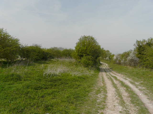
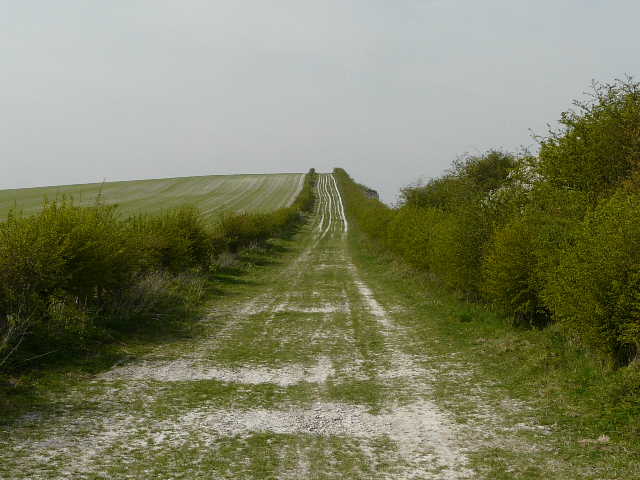
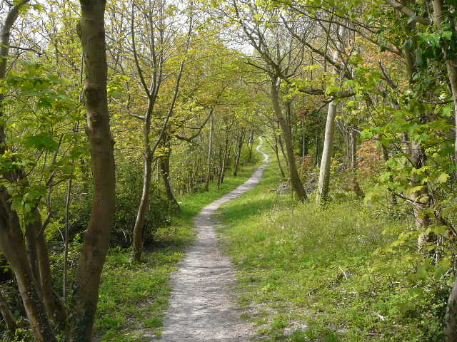
I set off up Common Road, Kensworth, and took the footpath on the right beside the small industrial estate. The path dropped down into the big valley immediately north of the village, then turned left as it partly climbed the far side to reach the path round Kensworth Quarry. I turned left to follow the quarry path clockwise, as it re-crossed the valley. Just beyond the tarmac drive to the quarry I came across some Coltsfoot, and a bit further on I turned left to reach Dunstable Downs.
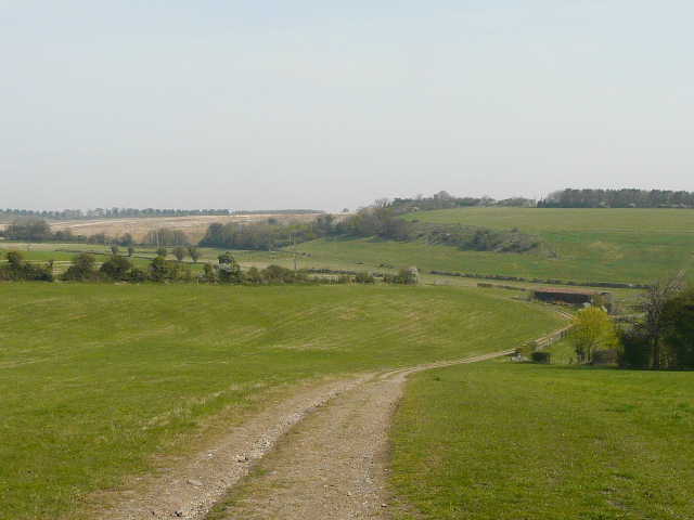
Looking across the valley north of Kensworth, towards the quarry
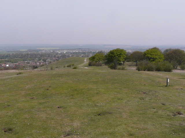
The quarry path
The quarry path, shortly before I turned off it to reach Dunstable Downs
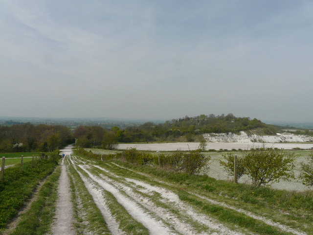
I walked northwards along the top of the downs - the views were rather disappointing because of the hazy conditions today. I descended to cross the start of Tring road, Dunstable, where I discovered a new pedestrian crossing had been installed, and continued along Green Lane. Despite having housing estates behind the tall hedges either side, this was pretty good for seeing wildlife - I spotted an Orange-tip butterfly and a pair of Blackcaps (I've now seen six of these birds in the last two weeks, more sightings than I usually have in a year).
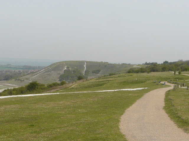
Dunstable Downs
Looking north from further along Dunstable Downs
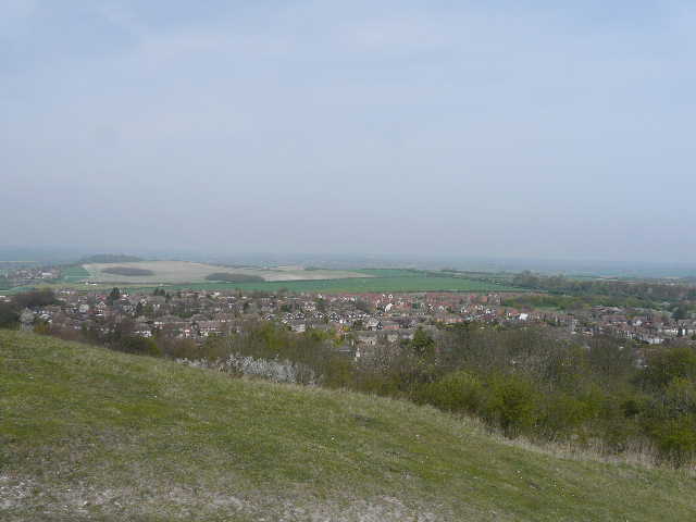
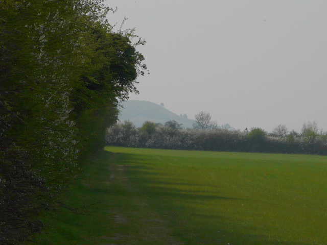
Looking over the western edge of Dunstable from near the Five Knolls burial mounds - my route would continue along the line of trees (Green Lane) coming in from the right of the photo, and follow hedgerows to the wooded hill of Totternhoe Knolls on the left
Green Lane, Dunstable
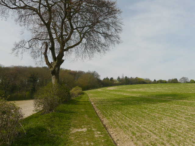
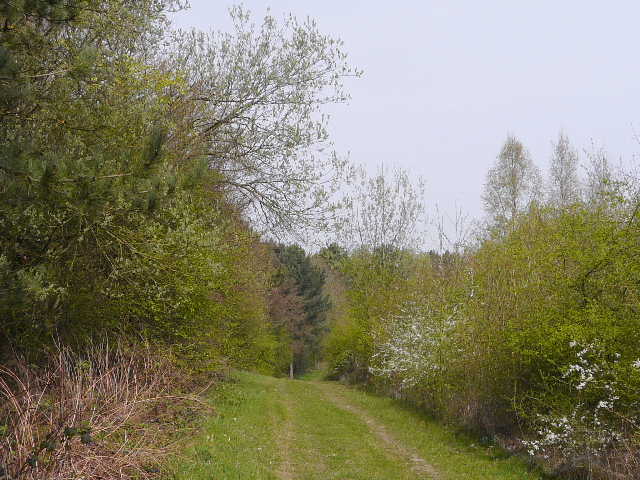
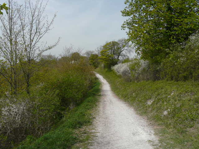
The green lane continued from Dunstable towards Totternhoe. I went straight on where the Chiltern Way turns right for Sewell, and then left at the next path junction. I spotted my first Whitethroat of the year here, before shortly turning right on another green lane that rose over a small hill with a sheer drop beyond the hedge on my right into an old chalk quarry. The very chalky (and rutted) path descended the far side of the small hill and continued through trees and bushes towards Totternhoe Knolls. I spotted a male Muntjac deer here, possibly the same one I photographed further along this path a few months ago.
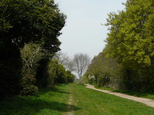
Green Lane
Green Lane continuing towards Totternhoe
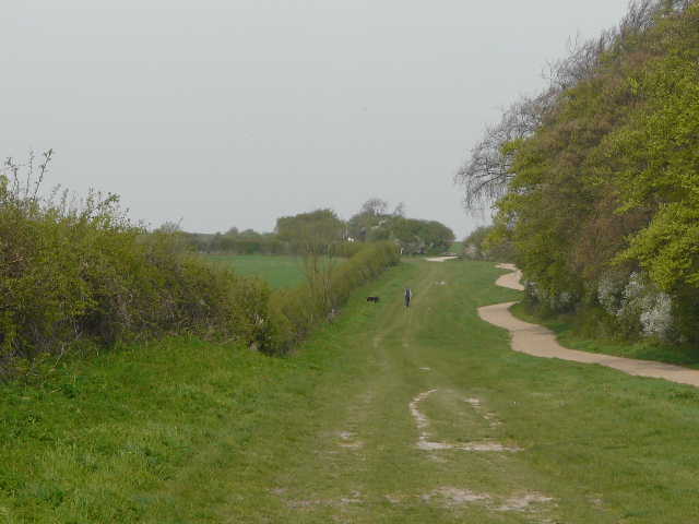
Another green lane heading towards Totternhoe Knolls
The green lane heading towards Totternhoe Knolls - you can see why they quarried chalk here!
The path towards Totternhoe Knolls
Before reaching the castle site on Totternhoe Knolls, I forked left on to a tree-lined path that gently headed down to the road that runs through the main part of Totternhoe. I crossed over and took a path that ran through a small paddock, crossed a small brook, and then went across a couple of fields to reach the edge of Eaton Bray.
The path down from Totternhoe Knolls to Totternhoe
Near the start of the path from Totternhoe to Eaton Bray, aiming straight at Ivinghoe Beacon
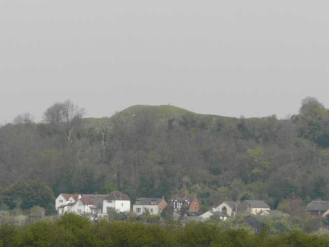
Close-up shot looking back at the castle motte on Totternhoe Knolls