Pete's Walks - Buckland Common to Ashley Green (page 3 of 4)
After about two thirds of a mile, I reached Marlin Chapel Farm (which was clearly built on a moated site), with Cock Grove on my right. Beyond the farm, the bridleway turned left but I forked slightly right onto a footpath, immediately passing the ruins of the chapel of St Mary Magdelene (the name Marlin is a corruption of Magdalene), thought to date from the mid thirteenth century.
The path continued across the parkland in front of the grand house of Rossway over to the right - I saw my first Cuckooflowers of the year here, and also I was delighted to see a Red Kite here, it seemed attracted to a section of the park where the grass had just been mown. Across a drive the path then followed a hedgerow on my right, with some pleasant views ahead and to my left as it descended into a valley.
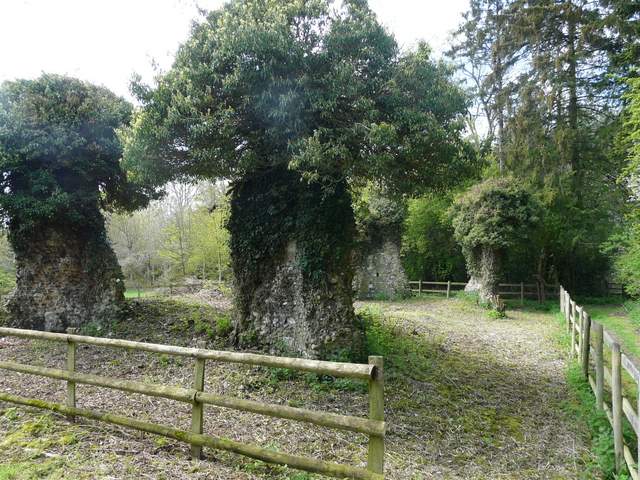
The ruins of Marlin Chapel - just the four corners remain
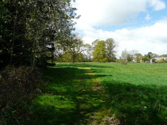
Start of the path across the park land in front of Rossway
End of the path across the park land in front of Rossway
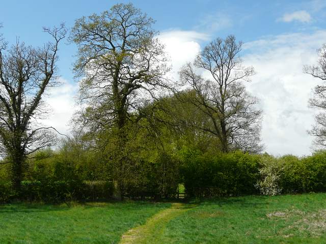
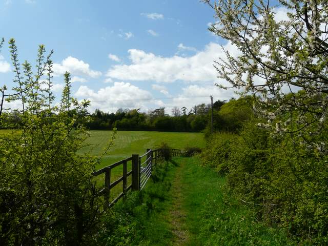
View from a little further on beyond Rossway
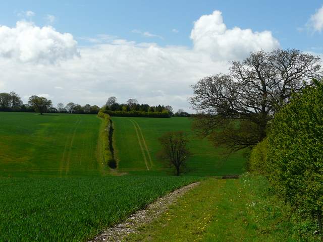
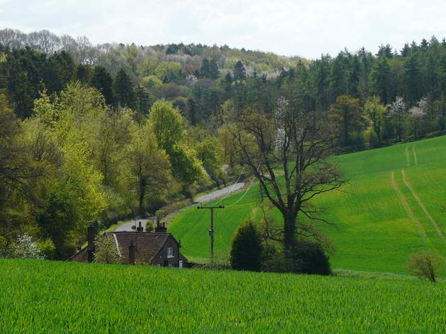
The path now descend to meet a road in the valley ahead
I turned right along a minor road, soon forking right onto what the map indicated was a byway but which I was disappointed to find was actually a lane [UPDATE 27/11/23: The latest OS map now shows it as a lane]. As in most places, there was lots of Greater Stitchwort in the Hedgerow, and I saw a Buzzard and an Orange Tip butterfly as I walked along here. At the next road junction I again went right, and after quarter of a mile or so turned left onto a 'restricted byway', which turned out to be a surfaced lane. So I effectively had over a mile of road walking, which I hadn't expected - still, the roads were reasonably quiet, there was pretty countryside around and lots of wildflowers brightening the verges and hedgerows.
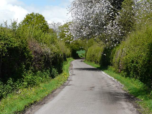
This is marked as 'Other route with Public Access' on the map - it looks like a road to me! [UPDATE 27/11/23: The latest OS map now shows it as a lane]
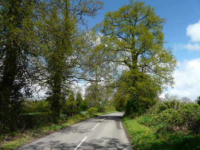
This is a lane on the map, looks more like a minor road to me [UPDATE 27/11/23: The latest OS map now shows it as a road]
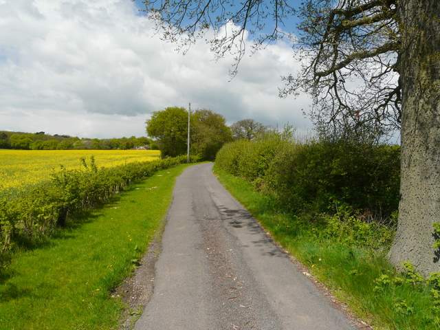
This is a 'Road used as a Public Path', so I guess I can't really complain that it looks like a lane
Shortly after turning left, the surfaced track ended by some buildings (marked Lodge Farm on the OS map). I took a footpath on the left here, between a wire fence and a hedge on my right. After about half a mile I crossed a road, the path continuing the other side eventually descending into a valley. Here, near Tring Grange Farm, I turned right onto a drive, which ran northwards along the valley bottom - I met a small party of walkers coming the other way here. Across a minor road I entered Roundhill Wood, immediately going right at a fork in the footpath - I heard my first Cuckoo of the year here. A series of waymarks on wooden posts soon led the way through an area of Beech trees - I managed to miss one such waymark, and was a little confused for a couple of minutes before retracing my steps a short distance and correcting my mistake.
The path from Lodge Farm
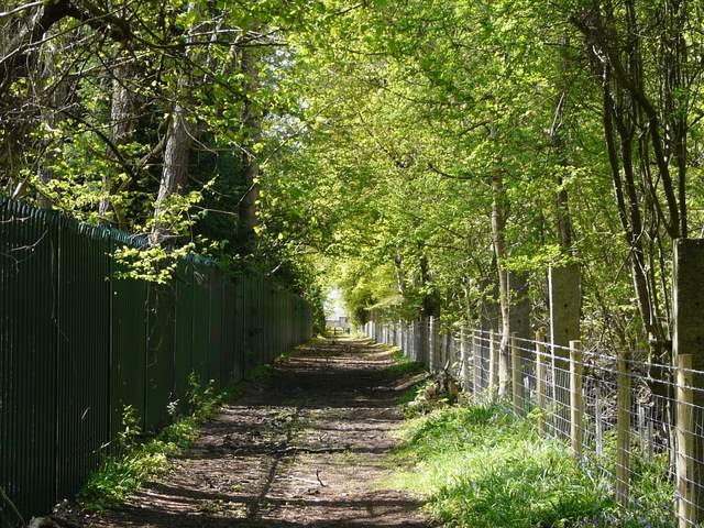
The path from Lodge Farm
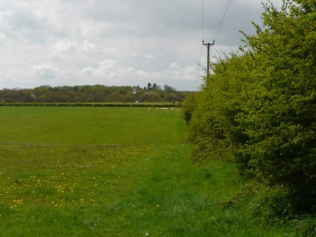
Not very clear, but the path crossroads near Tring Grange Farm is in the valley ahead
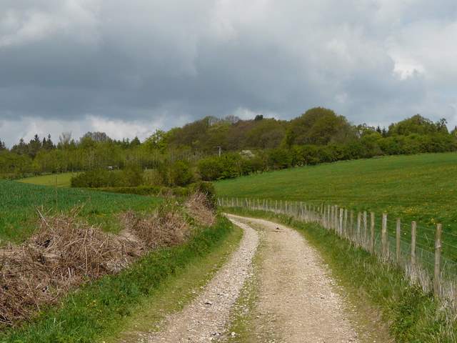
The track from Tring Grange Farm to Roundhill Wood
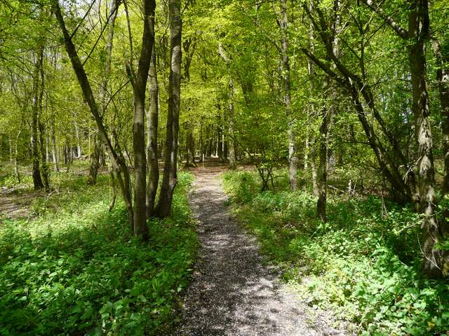
Path through Roundhill Wood