Pete's Walks - Stockgrove, Woburn Sands, the Brickhills (page 1 of 2)
If you are considering walking this route yourself, please see my disclaimer. You may also like to see these notes about the maps and GPX files.
I did this roughly 12-mile walk on Saturday 26th June 2010. Click here to see a rough map of the walk (but only if you have already read my disclaimer and notes regarding maps). This was more or less a repeat of a walk I first did last August. It was a very hot day, and I decided before I set off that I would take a couple of slight shortcuts from that route (I've marked them as alternatives on the Google map).
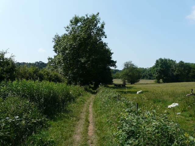
I started walking about 9.40am from the car park at Stockgrove Country Park, near Leighton Buzzard. I first followed a grassy meadow through a shallow tree-lined valley, then entered the woods of Rammamere Heath. Here I saw lots of Lesser Stitchwort - I would se far more of this plant today than on any other walk I've done. I also came across some Greater Stitchwort still in flower, which rather surprised me as it's quite late for it not to have gone to seed. There was also a lot of Red Campion, another plant I'd see a lot of on this walk. Beyond the woods I reached Rammamere Farm, where I turned right and followed the edge of a huge cattle pasture. Turning left in the field corner, I crossed a couple of meadows (where I saw my first Ringlet and Meadow Brown butterflies of the year) to reach the A5.
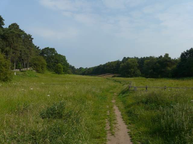
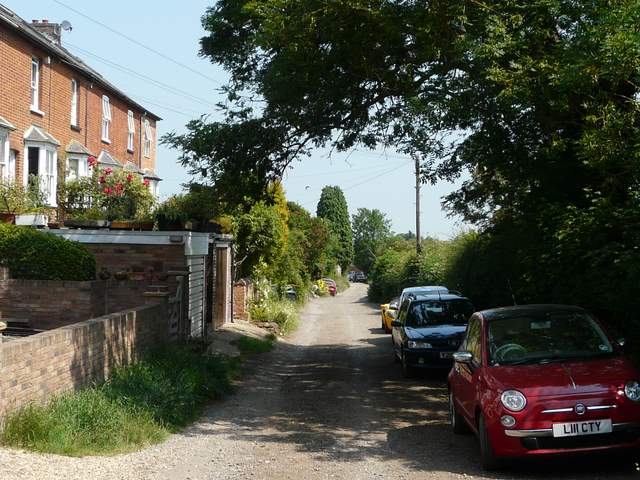
The start of the walk, from opposite the car park at Stockgrove Country Park
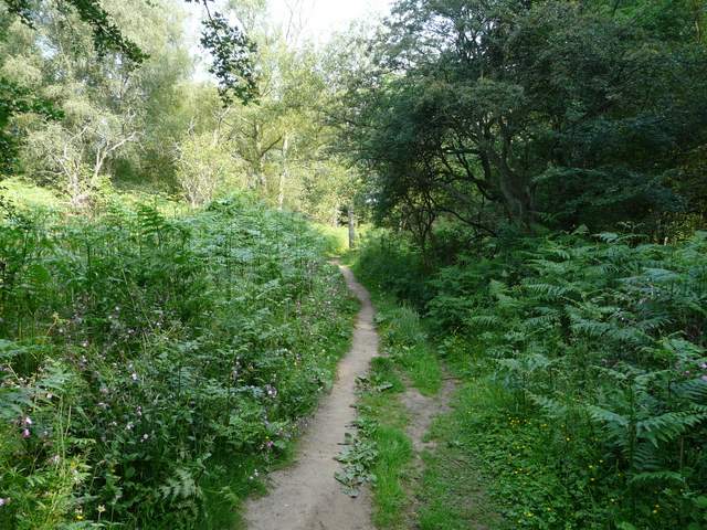
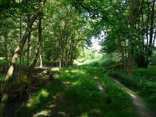
Path through Rammamere Heath

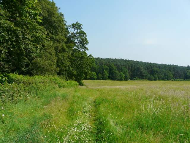
The path from Rammamere Farm
Across the A5 a path led through a couple of bean fields to a road. A hundred yards or so to the left I took a path called Nun Lane, soon heading back into more woods (Nun Wood, Buttermilk Wood and Lowe's Wood). I spotted some Ragged Robin here, and some faded Bugle. After about a mile I crossed a road and walked through part one of the three courses at Woburn Golf Club. After another very short section of road walking, I joined a sandy track going slightly east of north towards Woburn Sands.
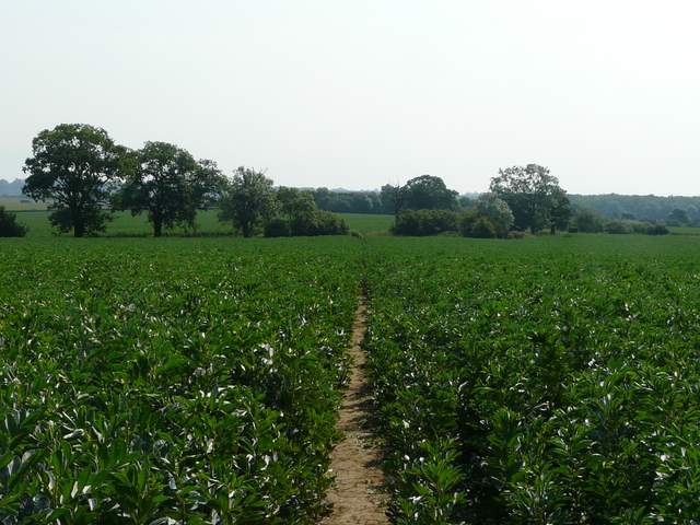
Path immediately east of the A5
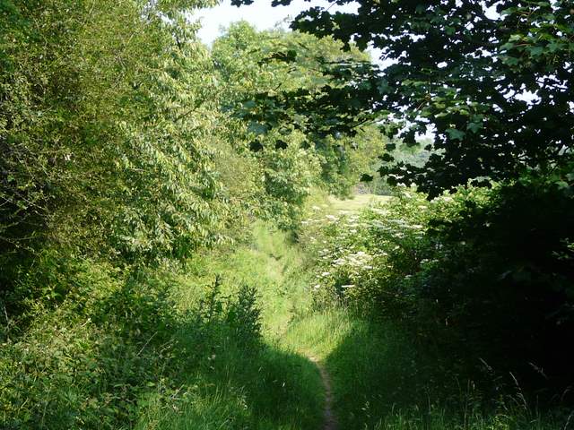
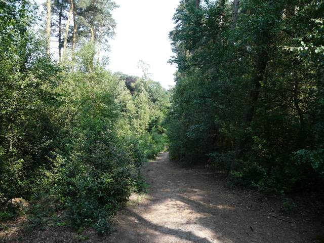
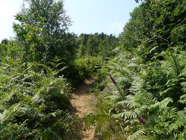
The start of Nun Lane
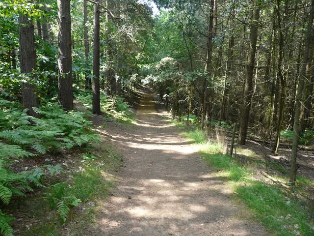
Nun Lane, in Lowe's Wood
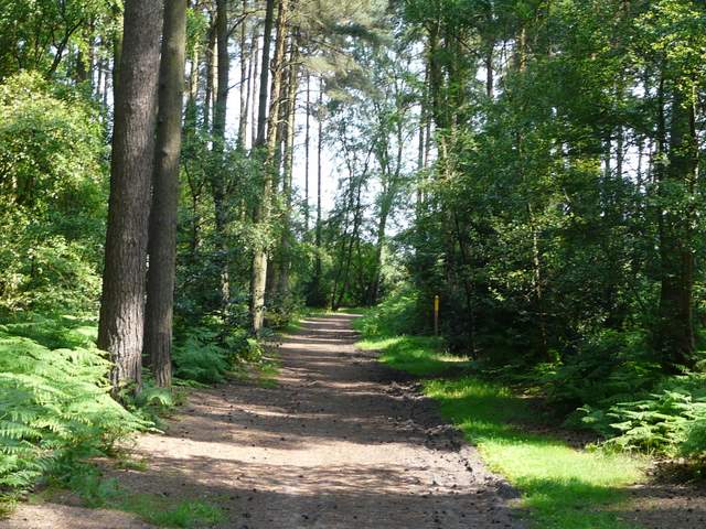
Path near Woburn Golf Course
After a while I took some paths to the left of the sandy track, exploring a little of Aspley Heath, It was here I took my first shortcut, missing out an area criss-crossed by Mountain Bike tracks and rejoining the track as it became a roughly-surfaced lane leading into Woburn Sands. I was quickly in and out of the town, soon finding myself on a pleasant path leading back to the woods.
Path on Aspley Heath
Start of the first shortcut I took, avoiding an area of mountain-bike trails on Aspley Heath
The track into Woburn Sands
The path out of Woburn Sands
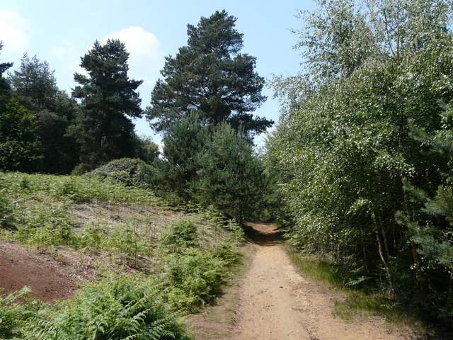
I was soon passing through a very sandy area covered mainly with bracken, before I entered Brown's Wood, close to the site of the Danesborough iron-age hill fort. A fairly straight forward path led on for a mile or so through mainly coniferous trees, heading south-west towards Bow Brickhill. I think I went slightly wrong again as I approached the road into the village, but did join the road at the right point this time, having been a hundred yards or so out when I first came this way.
Approaching Brown's Wood
Path through Brown's Wood (Danesbourough hill fort is just to the left)
Path between Brown's Wood and Bow Brickhill
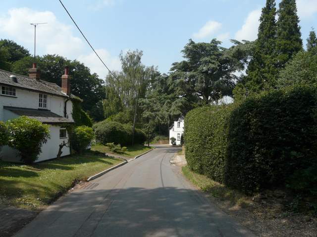
Entering Bow Brickhill