Pete's Walks - Watlington Hill, Turville, Cadmore End (page 3 of 4)
I turned left, once more joining a section of my Chiltern Chain Walk. On leaving the wood, the path merged with a bridleway as it joined a farm track that rose gently to reach the village of Cadmore End. I turned left, passing the village church on my right and soon came to a green, opposite the village school (on the other side of a road). I stopped on a bench here to eat my packed lunch - I was a bit concerned, as I'd stopped here when I walked the route the other way round in April so I suspected I was less than halfway through the walk and it was now 1.15pm.
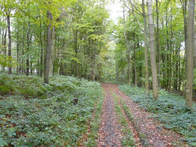
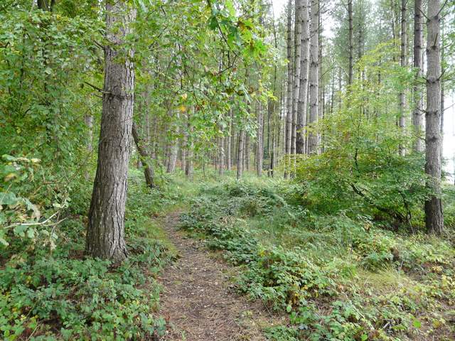
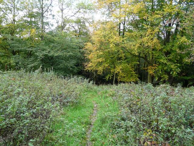
The path through Hanger Wood
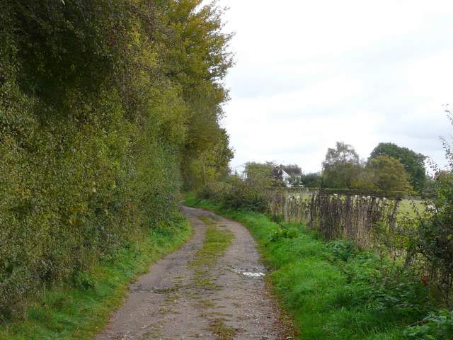
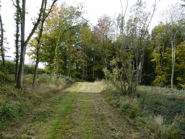
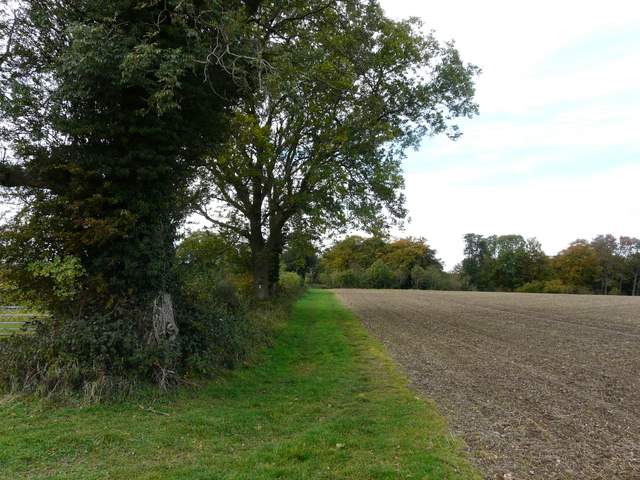
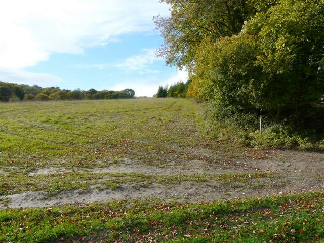
Approaching Cadmore End
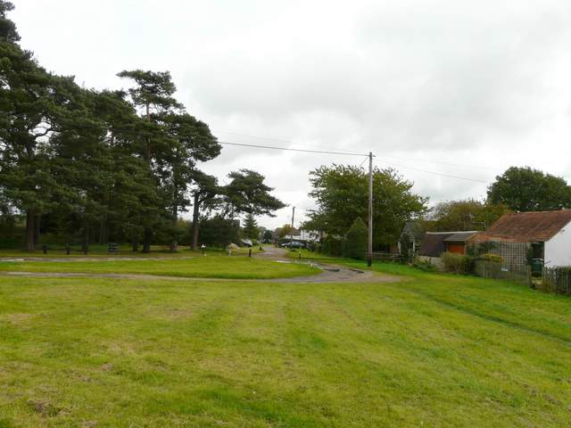
Cadmore End (I went left here after taking this photo)
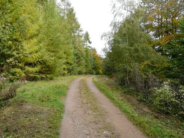
I soon continued on my way, crossing the road and turning right past the school to reach a small car park, from where I took a forestry track that went under the M40. After another couple of hundred yards or so I took a path on the right, that cut a corner from the track, before rejoining the track and following it from Pound Wood across a short gap into Leygrove's Wood. After a while I turned off the track at a path crossroads (whit crossed arrows on a tree on the right), following a path on the left into the heart of the wood, much of which was coniferous. After some distance the path joined a track, initially close to an edge of the wood on my left. Further on the track turned right and as I neared the opposite edge of the wood, I glanced up to see a huge hairy Alsatian bounding towards me - fortunately it was friendly. Beyond the wood the path turned left, following the edge of fields to Bigmore Lane.
Bridleway just across the M40 from Cadmore End
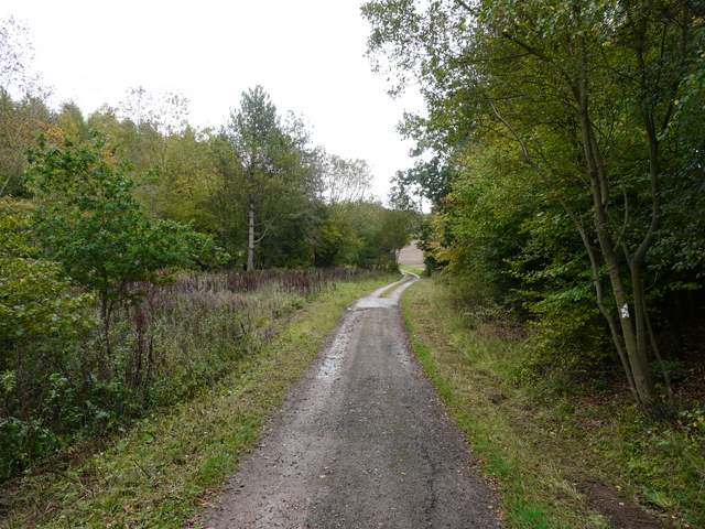
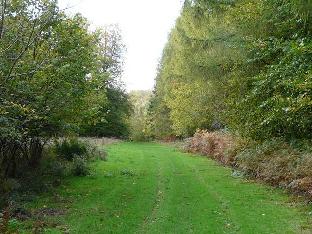
Forestry track in Leygrove's Wood
Leygrove's Wood, after I turned left
Leygrove's Wood, after the path joins a track
The path just outside of Leygrove's Wood
I had to follow the quiet lane for about two-thirds of a mile, eventually re-crossing the M40 (the noise from which was a bit of a distraction on this last section since Cadmore End). At the end of the lane I crossed a minor road and went down Chequers Lane, almost opposite. I went over a stile in the hedge on the right, opposite a house, and crossed a couple of ploughed fields, with views south to the heavily wooded area around Hambleden. The path then followed a hedge on my left to reach a wood, through which it then descended into the valley of Twigside Bottom, where I spotted a few Fallow deer. The path went a short way left along a track in the valley bottom (another path went left just before the track), then turned right to begin a long and steady ascent up to the village of Ibstone - part way up the slope there was another good view along the valley towards Fingest again.
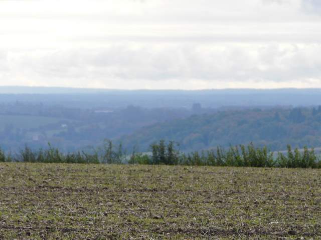
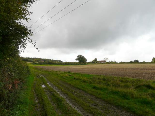
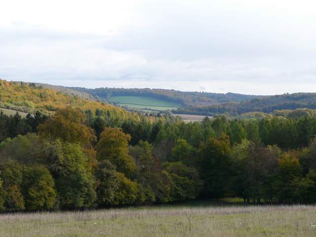
Looking south towards Hambleden and the Thames Valley, from just west of the M40
The path heading west towards the valley of Twigside Bottom
The path down into Twigside Bottom
Path in Twigside Bottom
Near the start of the path from Twigside Bottom up to Ibstone
Looking south along Twigside Bottom towards Fingest - Fingest Wood and Fairfield's Stile are above the green field (top centre)