Pete's Walks - Wendover Woods, Wigginton, St Leonards (page 1 of 3)
If you are considering walking this route yourself, please see my disclaimer. You may also like to see these notes about the maps and GPX files.
I did this roughly 12.3-mile walk on Saturday, 11th December 2010. N.B. There were three occasions today where the paths on the ground differed from those on the maps, so I would hesitate to recommend it as a route to follow. I had thought of doing my usual Wendover Woods to Wigginton route in the clockwise direction (I have only done it that way once, when researching my Chiltern Chain Walk, and didn't write it it up). But as I had walked the section along Hogtrough Lane fairly recently, I thought I'd try something a little different that would take me through a part of Wendover Woods I'd not visited before. This would shorten the walk somewhat, so I compensated by finding some paths that returned from Wigginton by a more southerly route than the one all along the line of Grim's Ditch that I usually use. So most of the first half of this walk was the same as my usual route from Wendover Woods to Wigginton (though in the event I varied from it in a couple of places) but most of the second half was new to me.
OUCH! It cost £5 to park for over four hours at the visitor centre in Wendover Woods - it used to be £3 I'm sure, and I certainly won't be parking there again (I'll probably park in Wigginton instead). Having got over that unpleasant shock, I set off about 9.55am, initially walking back down the very lengthy tarmac drive to the visitor centre. At a slight bend in the drive I continued ahead on a broad path between trees, with fields a short distance to my right. On the spur of the moment I chose to turn right at the next path junction, taking a path I'd not used before that went diagonally across a large sheep pasture (with a trig point in the middle, presumably the highest point on Aston Hill). I went over a stile (rejoining my usual route and the path I'd just been on, which followed a private drive curving round the side of the pasture) and crossed over the road that climbs steeply up Aston Hill. The mountain bike centre here was clearly opened (UPDATE 6/2/2024 It's definitely closed now), it had looked closed one time I went past. A long private drive led along the edge of the woods, and then the path went slightly left into the trees, all the while following the edge of the area used by the mountain bikers. As the path descended eastwards through the trees, a field appeared on my left, over which there were good views towards the Vale of Aylesbury.
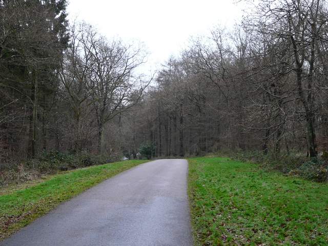
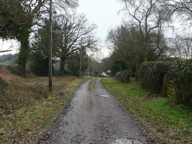
Walking back along the 15mph drive to the forestry centre at Wendover Woods
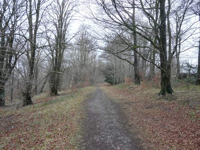
Near the start of the path I took from the drive towards Aston Hill
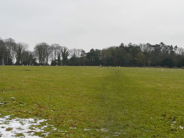
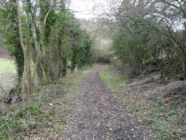
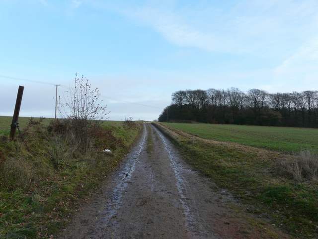
This path diagonally across this pasture to the top of Aston Hill was new to me
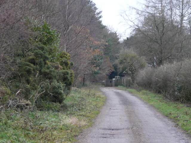
Private drive beside the mountain bike centre on Aston Hill
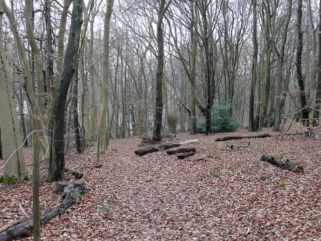
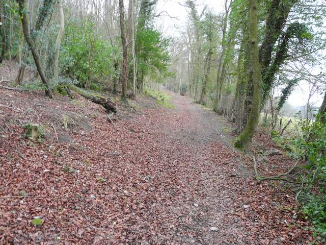
Descending through the trees on the north side of Aston Hill
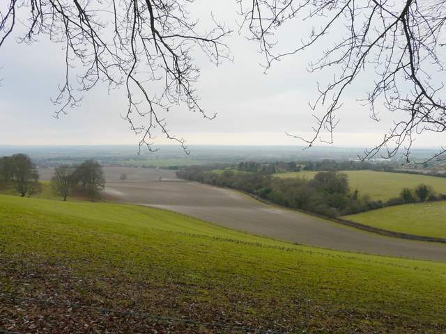
View left towards the Vale of Aylesbury
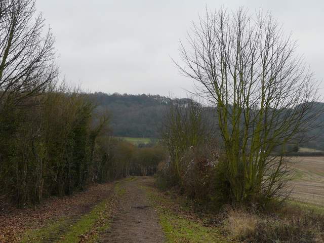
At the foot of the slope I went a few yards right along a lane, then took a footpath on the left, which passed a garden to my right and then continued eastwards along a hedge line. After two fields I turned right on a broad track, with the wooded slopes leading up to Hastoe ahead of me. Across a lane and past a bungalow, the path continued between hedgerows - this was one of several 'public byways' hereabouts, and I soon turned left into a second, similar one. After a while this curved left, and after another while ended at a T-junction of byways just inside a wood. I turned right and started the longish climb up to Hastoe. It was fairly gentle at first, then steepened, and I was puffing a bit by the time I reached a house at the top of the hill and the drive that led into Hastoe.
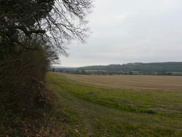
Start of the path east from the foot of Aston hill
Near where I joined the first Public Byway, heading towards Hastoe which is at the top of the wooded slope
Th second Public Byway, heading towards Hastoe
The byway now starting to climb the wooded slope to Hastoe
Approaching Hastoe
I turned left, and followed Church Lane through the hamlet for about a third of a mile. At the end, instead of following my usual route (left along a minor road and then through Tring Park), I decided to take the path straight on, following a farm track between arable fields (this used to be the route of the Ridgeway before it was diverted through Tring Park some years ago). I passed a wood on my right, and then passed a farm and a cottage, the surface then being surfaced as I approached the village of Wigginton. I could see the woods at the top of Tring Park across the field to my left, while to my right I could see the line of Grim's Ditch marked by a row of trees. It was pleasant enough following this route into Wigginton, but the parallel paths either side are more attractive.
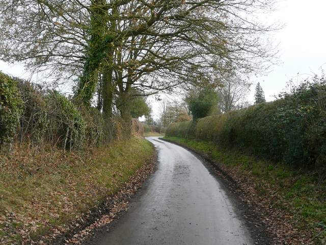
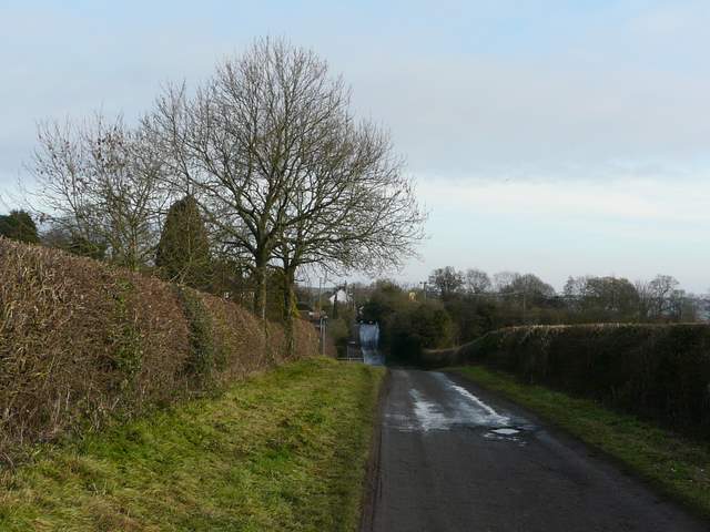
Church Lane, Hastoe
Start of the old section of the Ridgeway, which passes Wick Farm - another section that was new to me
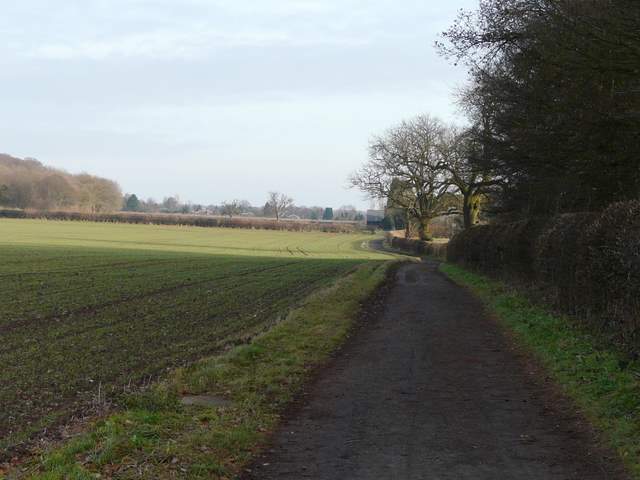
The Ridgeway heading towards Wick Farm
Approaching Wigginton from Wick Farm