Pete's Walks - West Wycombe, Fingest, Moor Common (page 4 of 4)
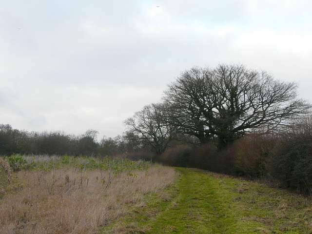
I was a little confused when I reached the next path junction, but eventually realised the bridleway left the track at this point, forking 'right but actually continuing more or less straight on and now heading slightly uphill. I soon reached a gate into a small field, where the path went across to a similar gate in a corner by the B482 road. It was here that I was hoping to find a permissive path that would enable me to avoid walking along this dangerous stretch of road (it's quite busy, there are no verges, and there were warning signs about accidents when I came here a few years ago). In fact the permissive path was there, but going in the opposite direction (north west) to the one I expected, and linking to a different path to the one I walked when I came this way before. But this was no matter, as the road and the two paths formed a triangle, I would just be going round the side and a half of it that I didn't walk last time. So I turned left and followed the permissive path close to the road for two or three hundred yards. I had to wait a while to cross the road, then a footpath led through a field of stubble to reach the southern tip of Widdenton Park Wood.
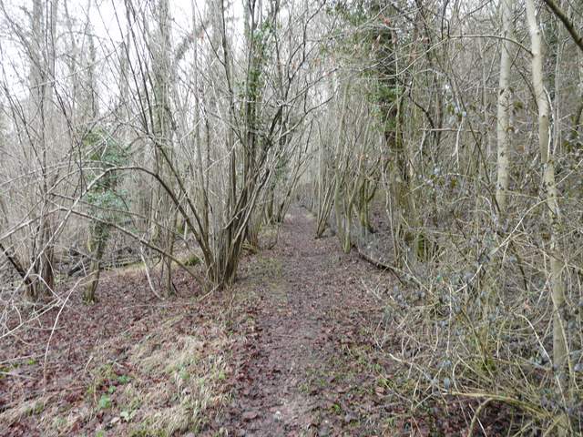
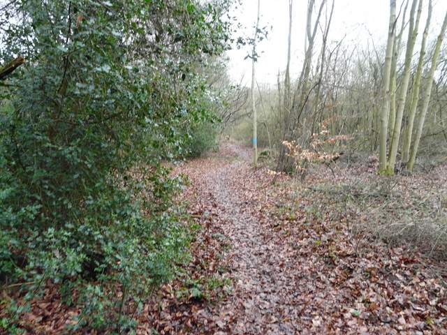
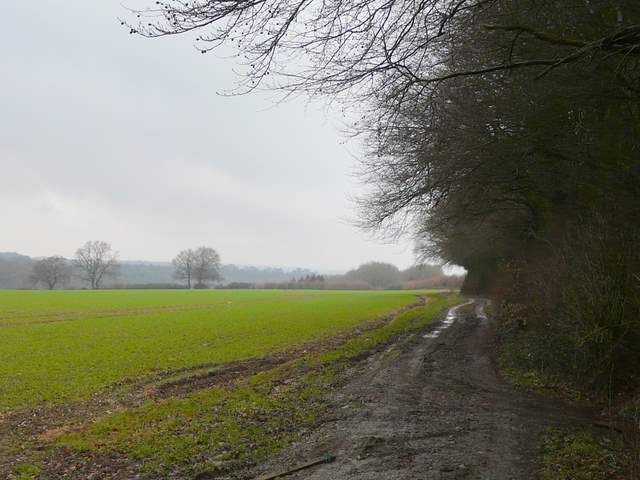
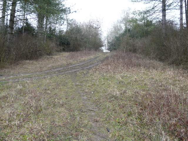
The bridleway heading north through Moor Wood
The permissive path beside the B482, southeast of Lane End
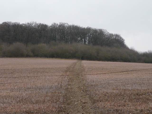
Path from the B482 to Widdenton Park Wood
The path continued north-eastwards, just inside the right edge of the wood. After a few hundred yards I came to a crossroads, where the path I used last time came in from the right. I turned left and headed into the wood, with the occasional loud bang coming from somewhere close on my right. The path led to a reservoir (I only know this from the map), where I followed a tall green fence to the left and then right. The drive from the entrance to the reservoir ran along an edge of the wood, with an area of rough grass and then the edge of Lane End to the left. I soon turned right on a path that went back into a small section of the wood, emerging on the far side by a road and a bridge over the M40.
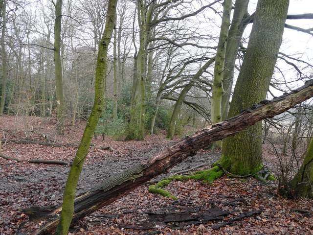
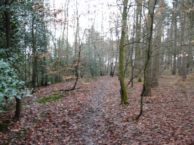
Path through Widdenton Park Wood
Path through Widdenton Park Wood, now heading towards the reservoir
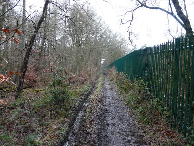
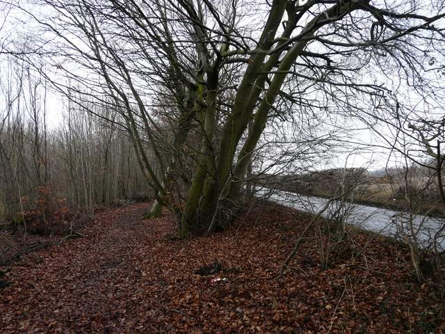
Path beside the reservoir fence
The drive from the reservoir, with the edge of Lane End just visible on the left
Back into Widdenton Park Wood north of the reservoir, heading towards the M40 bridge
I crossed the bridge and turned left beside a wood - there was again the sound of gunfire here, as the wood was used for paint-balling. They called a cease-fire while a horse-rider came by. The path (I was now on part of a route that I did include in my Chiltern Chain Walk, the final part of Walk 14) continued beside a hedge, before turning right over a stile. It followed the edge of a paddock, turning left at a projecting corner to reach a stile close to Fryer's Farm. A bridleway on a good track continued gradually downhill from there. A path then forked off very slightly left, running just inside a wood. I have always found the exact point where the path then leaves the wood (to rejoin the track on the right) a bit problematic, and again did so today but there is now a signpost there (though only really visible if you are coming the other way!) - it is a few yards further on than the broken stile that I had presumed was the exit point.
Near the start of the path beside Sandage Wood (beware paintballers!)
View from near Frye's Farm (Wycombe Wanderers' football ground is hidden behind the wood in the centre!)
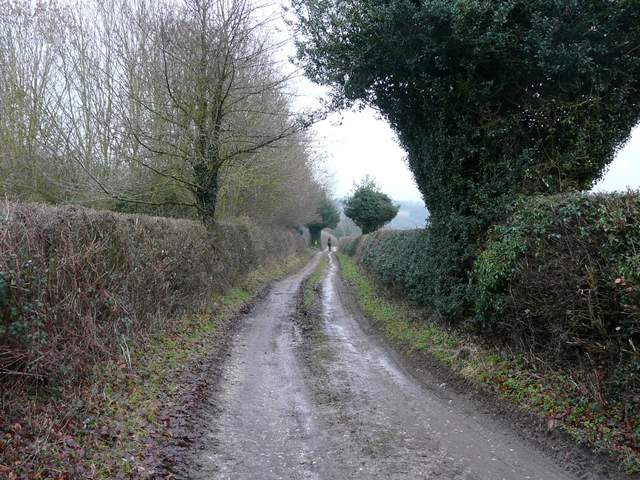
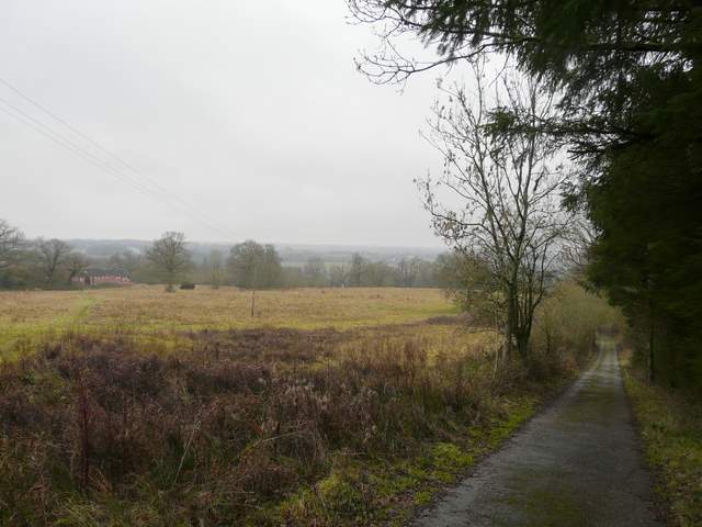
The bridleway from Frye's Farm
As I left the wood to cross a grassy area to another signpost, I could see the Wycombe Wanderers football ground across the field to my right - I'd been hearing some distant music and chanting for a while. My path now led steeply uphill, just inside the eastern edge of Hellbottom Wood. It then continued beside a hedgerow on the right to reach Towerage, the hamlet I'd passed near the start of the walk. I went left for a few yards, before Toweridge Lane went right and downhill, taking me back the way I'd come from West Wycombe.
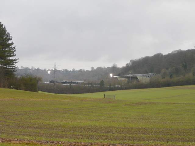
Adams Park, home of Wycombe Wanderers (they won the match, beating Rotherham United 1-0)
The path through Hellbottom Wood to Towerage (this looks flattish, but is actually quite steeply uphill - who says the camera never lies?)
The path to Towerage
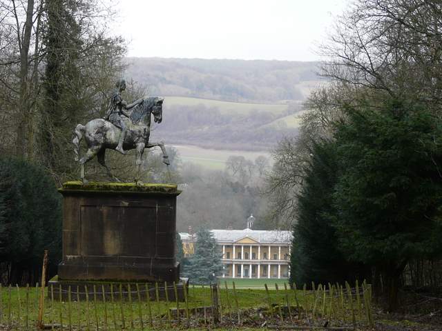
View from Towerage, looking north over West Wycombe House (the hamlet and farm here are called Towerage, yet the lane is spelled Toweridge)
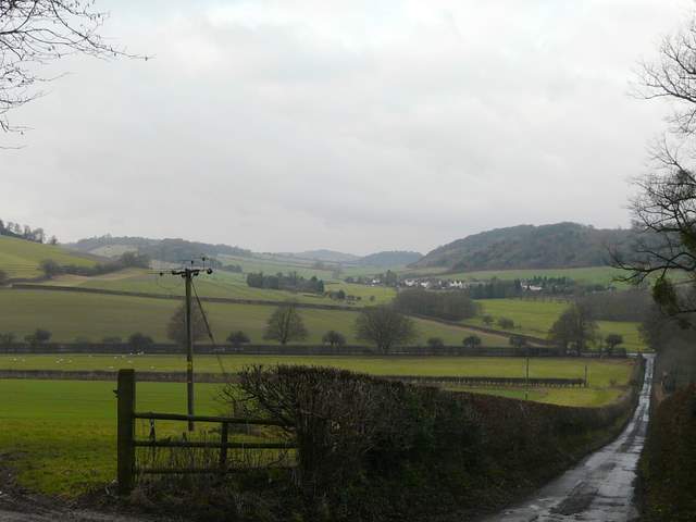
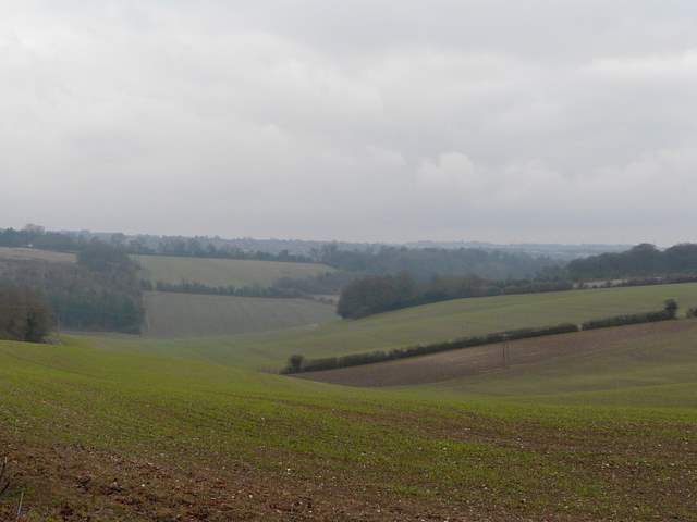
View from Toweridge Lane - the distant hill in the centre is Lodge Hill, with little Slough Hill to its right and Bledlow Ridge to its left.
This was another enjoyable walk, despite the very grey and very muddy conditions - on a nice warm and sunny day I'm sure it would be even better. I guess I enjoyed it because a bit of it was new to me, and much of it I'd only walked once before and that was a few years ago. But it was also interesting to visit Wheeler End Common, Cadmore End Common and Moorend Common, which made a pleasant change of scenery. I do think this would make for a good route in the late Spring or early Summer when the wildflowers are at their best. Now I know about that permissive path, I may try to include it in some other walks.