Pete's Walks - Buckland Common, Chesham, The Lee (page 1 of 4)
If you are considering walking this route yourself, please see my disclaimer. You may also like to see these notes about the maps and GPX files.
Google map of the walkDownload GPX file of the walk
I did this 13.8 mile circular walk on Saturday, 12th February 2011. Again it was a walk where I tried to include some paths I'd not used before, plus others that I'd only used once before.
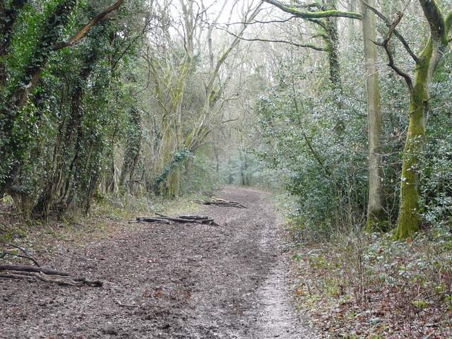
I started walking from the small car park at Buckland Common (at the junction of Parrott's Lane with Bottom Road, grid reference SP921071) about 9.50am. I went the few yards to the end of Bottom Road and turned left, to headed east along the road through the village. I then took a footpath on the right immediately after a garage. For a few yards here I was on the route of the Chiltern Heritage Trail, but I left it as I entered a field and turned left. The path followed a hedgerow on the left along a valley bottom, through a couple of fields and then passing through a couple of pastures with just a handful of sheep in the second one. Immediately before the path reached a minor road, I turned left on another path heading uphill through bushes (Update 12/02/17: this can be very muddy, I sometimes turn left up the road instead) to return to the road I'd walked along before, now roughly on the border between Cholesbury (to my left) and Hawridge.
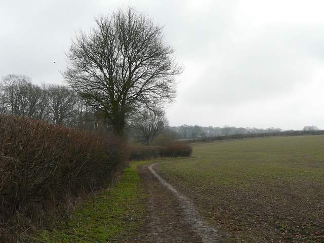
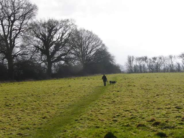
The path from Buckland Common
The path from Buckland Common
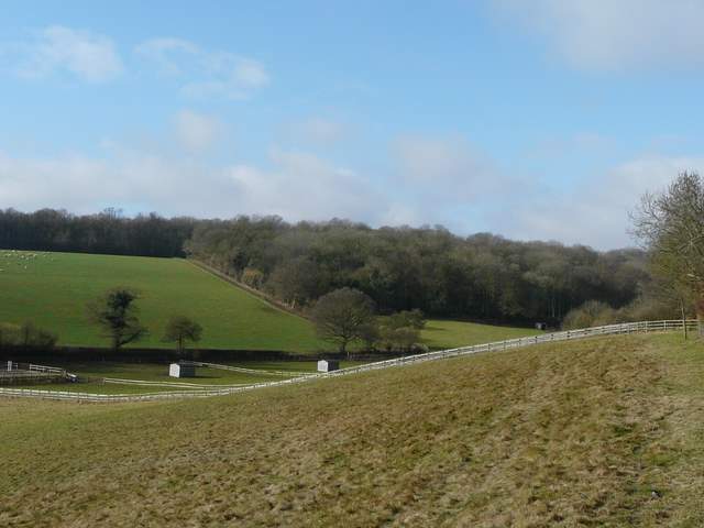
Cholesbury Common
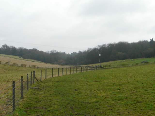
I crossed over the road to reach Cholesbury Common, and continued roughly straight on, entering what was new territory for me as I headed downhill on a grassy path between bushes and trees. I was soon at the bottom of a small valley, where I turned right onto a path that here was following the Bucks/Herts county boundary. The path was a broad and muddy track (which I wrongly assumed at the time was a bridleway). On reaching a lane I continued straight ahead, still along the bottom of a small valley, the path continuing wide and muddy, with fields beyond the hedge on my left and trees on my right. The path then joined a private drive, passing a few residences on my left and then merged with a lane, which soon came to a lane junction by Vale Farm.
Cholesbury Common, on the path down to the bottom of the valley
Path following the county boundary east, towards Hawridge Common

The path continuing across the lane, along the bottom of Hawridge Common
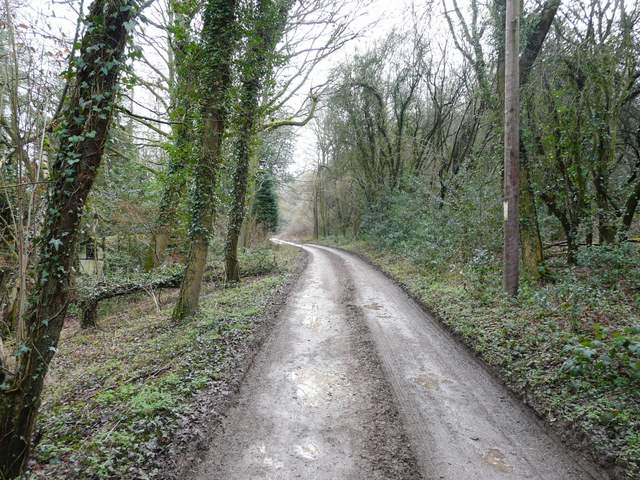
The private drive heading towards Vale Farm
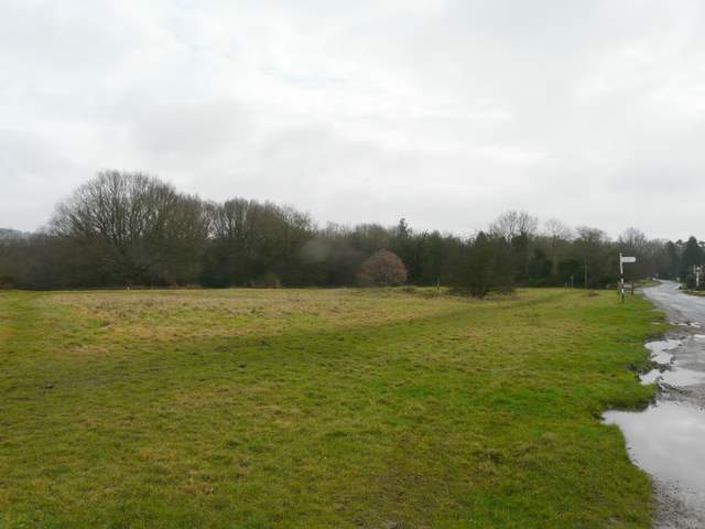
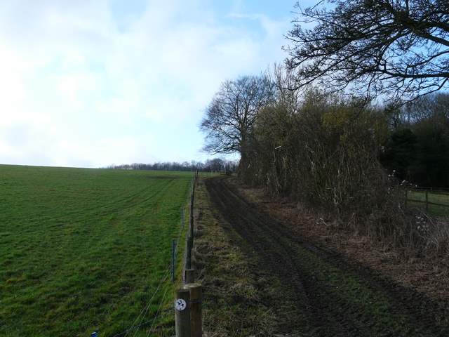
I turned right on a short uphill path through trees to return again to the road I'd walked earlier. I crossed back over and went down the short lane to Hawridge Church. A narrow path continued to the right, beside the hedge of the impressive Hawridge Court, emerging into a meadow where I turned left. I was now on a lengthy path that I'd walked once before, on a walk I did last May (Buckland Common and Ashley Green). It had been grey and gloomy when I'd set off, but it was a bright sunny morning now. The path soon entered a second meadow, then I crossed over a stile into a huge field of cabbages (or similar crop) - a lady walking her two dogs kindly stopped to let me pass her here. It was a steady plod across this field and the next very similar one, the path marked by tractor tracks - I was on a ridge that was gradually descending, with valleys either side of me and a view ahead towards Chesham Vale, north of Chesham. In the third cabbage field, the path abandoned the tractor tracks and turned left alongside a hedge, turning right in the corner to resume its south-easterly direction.
The path from Vale Farm towards the minor road through Hawridge
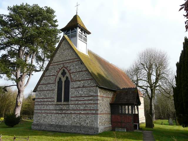
Hawridge church
The path from Hawridge church, heading southeast
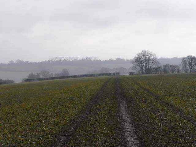
The path continuing through the first large cabbage field
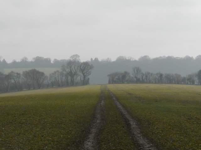
Continuing through the second large cabbage field
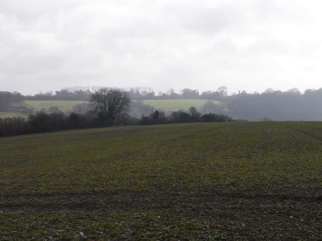
In the third cabbage, the path follows the hedge on the left
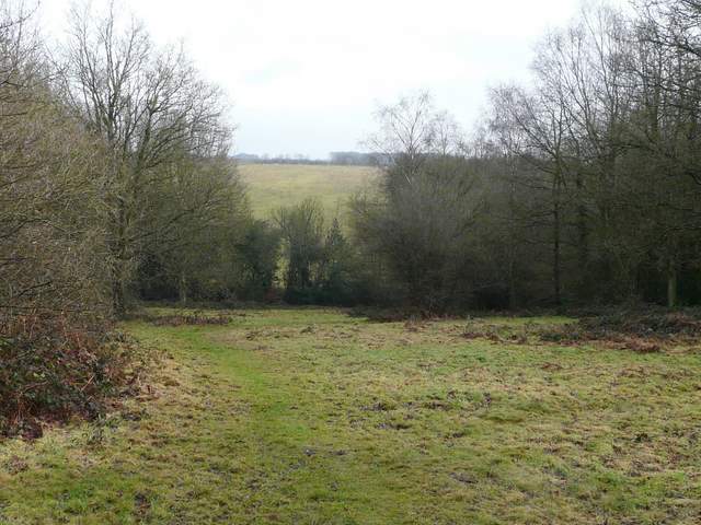
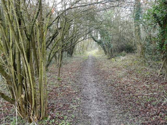
When I eventually reached the end of the third huge cabbage field, I came to a 'staggered crossroads' of paths, where I went a few yards left before turning right, going downhill between a hedge and a fence. I had now reached the ostrich farm at the end of the valley of White Hawridge Bottom. I turned right along the track through the farm, then took a path going left and uphill towards Ramscoat Wood. I was now back on familiar territory, this being part of the route of Day 7 of my Chiltern Chain Walk.
Looking towards Ramscoat Wood from near the ostrich farm
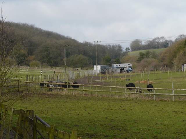
The ostrich farm
The path heading up to Ramscoat Wood