Pete's Walks - Maidensgrove Common and Henley (page 3 of 5)
Just past Henley Park the drive turned left and I said goodbye to the couple I'd been walking with - they continued their walk along the drive while I continued ahead through what was marked on the map as a Deer Park. This again was a very pleasant section, with several impressive old trees dotted around the park, and some far-reaching views. I didn't see any deer here (I'd spotted a Muntjac earlier on the walk) only a flock of sheep. Again there were several more walkers coming the other way. After a while the path started to descend gently, then ran through a small wood before continuing beside a cattle pasture to reach a road on the outskirts of Henley.
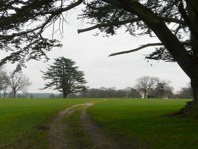
Start of the Deer Park south of Henley Park
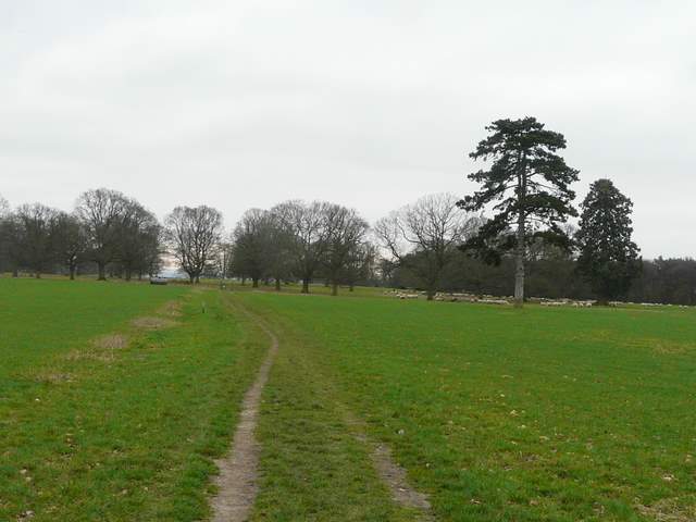
The path through the Deer Park
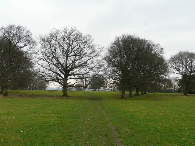
The path through the Deer Park
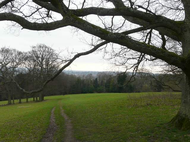
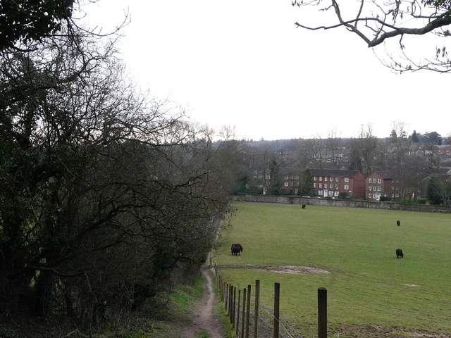
The path through the Deer Park, starting to descend towards Henley
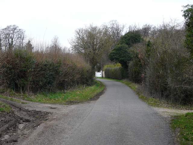
The path approaching Henley
I turned right, heading out of the town, and after a couple of hundred yards took a footpath on my left, running between walls and fences. Where it turned left, a short tarmac path straight ahead took me to a road in a housing estate (1960's I'd guess). I was surprised to see that not only were there several Red Kites low overhead here, but several more were perched in tree on the housing estate. I followed a road a few yards left then turned right and then right again at the end of that street. I actually went a 100 yards past the footpath I needed to take on the left - I was distracted looking at the Kites in the trees (that's my excuse anyway!). When I did find the path, it soon turned half-right, following a wooden fence slightly uphill to reach a lane.
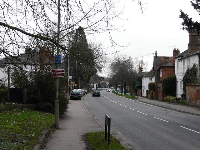
The road into Henley (after taking this photo I turned around and walked in the opposite direction)
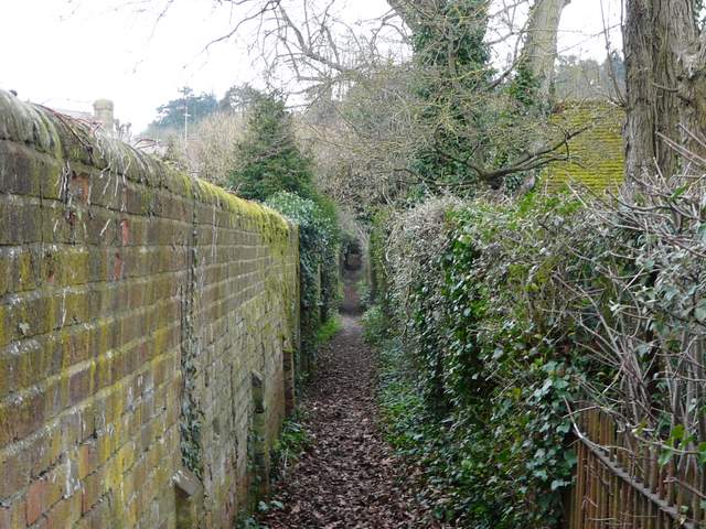
Path on the edge of Henley, leading to the housing estate

Red Kite perched in a tree on the housing estate
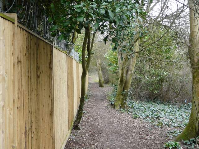
Path leading west from Henley
I followed the lane to the right, passing the entrances to some large properties and then reaching Badgemore Park Golf Club. The path continued ahead through the golf course - it was generally well signposted (it basically just went straight on), but one waymark on a short post was a little misleading and I found myself on the right of a fairway when the next waymarked post was on the left. The path then continued onwards through a wood (most of the rest of the walk would be through woods, so I apologise in advance for a series of very similar photographs!). This wood is marked Fairies Hole on the map, but I'm not sure if that's the name of the wood or some other feature (an intriguing name anyway). After an area of bushes and young trees, the wood became a more typical beech wood. I went straight on at a couple of junctions, and at some point the wood definitely became Lambridge Wood.
The lane to Badgemore Park Golf Course
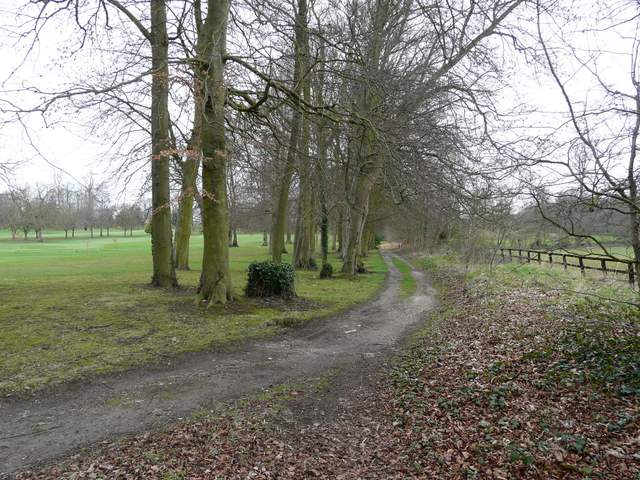
The path through Badgemore Park Golf Course
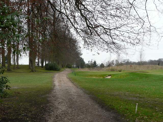
The path through Badgemore Park Golf Course
The path continuing towards Lambridge Wood
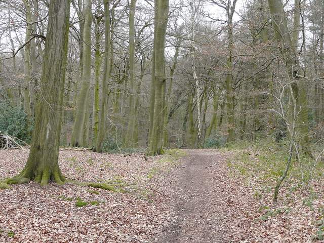
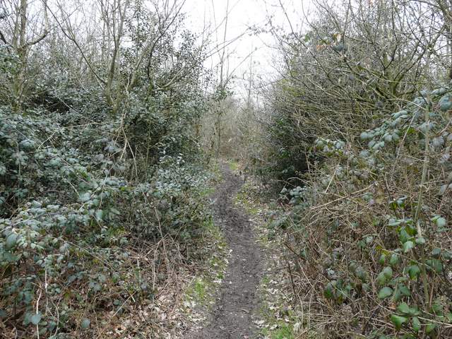
The path through Lambridge Wood
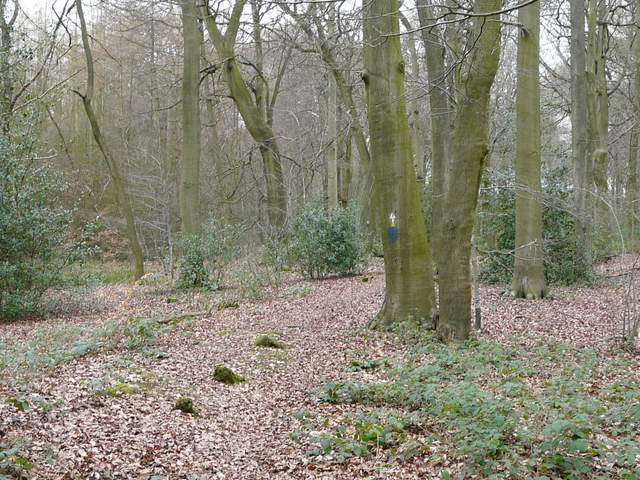
The path through Lambridge Wood
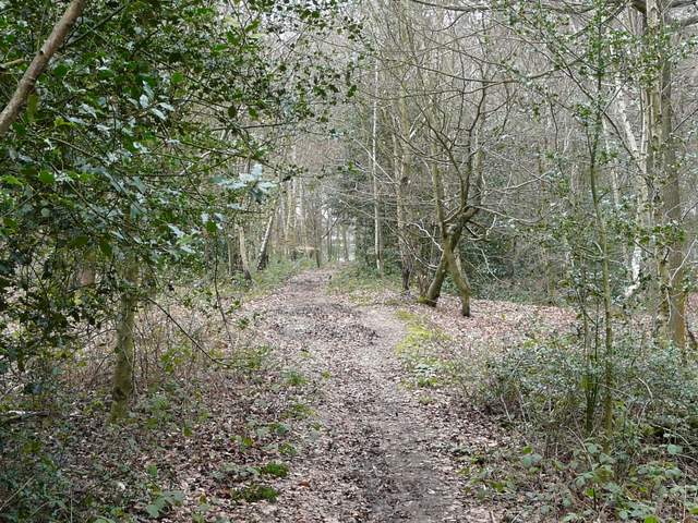
The path through Lambridge Wood