Pete's Walks - Kensworth and Briden's Camp (page 1 of 2)
If you are considering walking this route yourself, please see my disclaimer. You may also like to see these notes about the maps and GPX files.
I did this 16 mile circular walk on Saturday, 26th March 2011. Click here to see a map of the walk (but only if you have already read my disclaimer and notes regarding maps). The route was one that I'd done a couple of times before - I just fancied doing a walk from here in Kensworth, something that I don't seem to have done for a while.
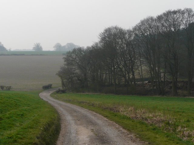
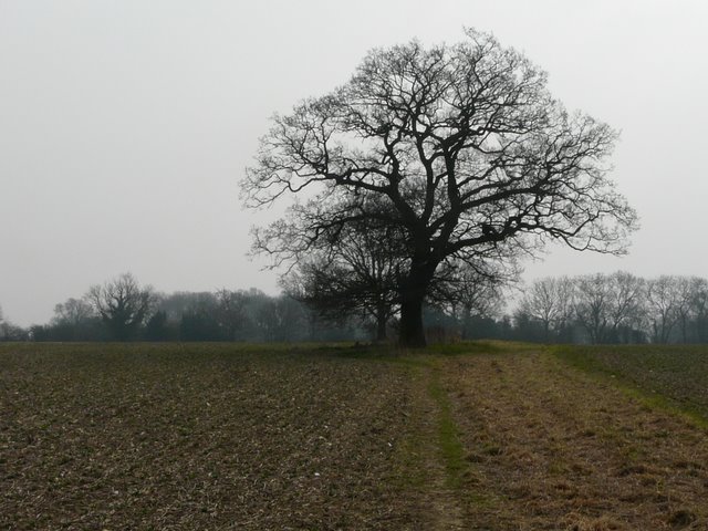
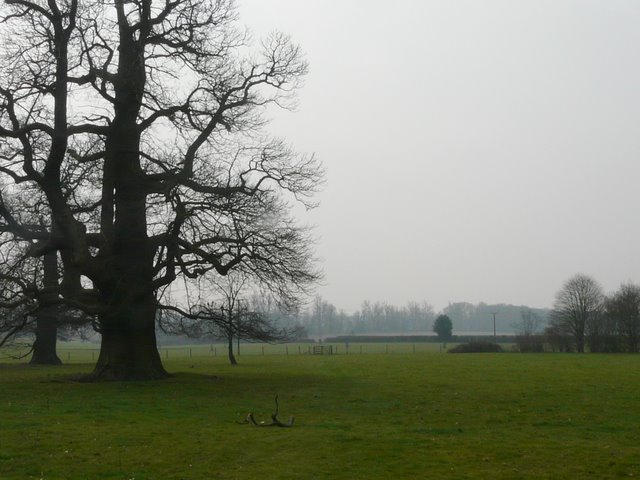
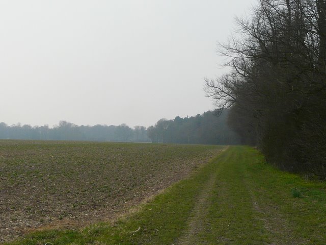
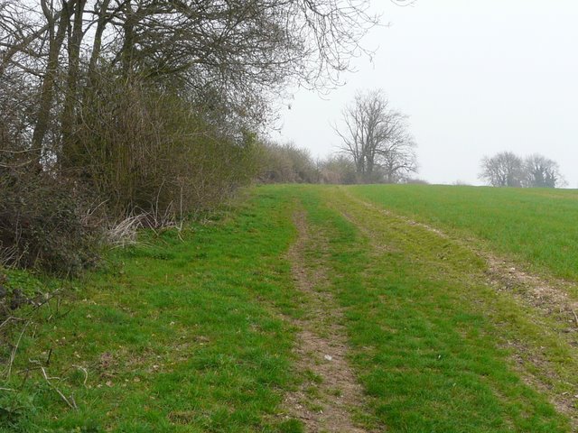
I set off from home about 9.20am, leaving Kensworth by the Whipsnade Road, and then taking a path on the left across a couple of fields to reach Dovehouse Lane. As you can see from the photos, it was rather a misty morning, limiting how far I could see. I turned right along the lane, and at the end went a few yards right along Buckwood Lane before taking a path on the left. I soon went left at a path crossroads and followed a path that runs along the edge of Holywell. I turned left through a wood, the path continuing across a huge arable field to reach Byslips Road. A short way to the left, a path started along the edge of Byslips Wood - here I was delighted to see my first Wood Anemones and Primroses of the year.
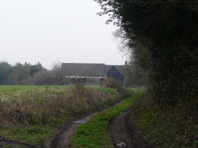
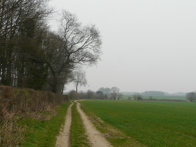
Approaching Dovehouse Lane
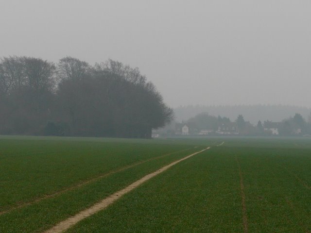
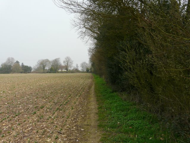
The path from Holywell to Byslips Road
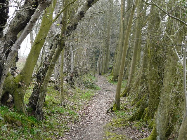
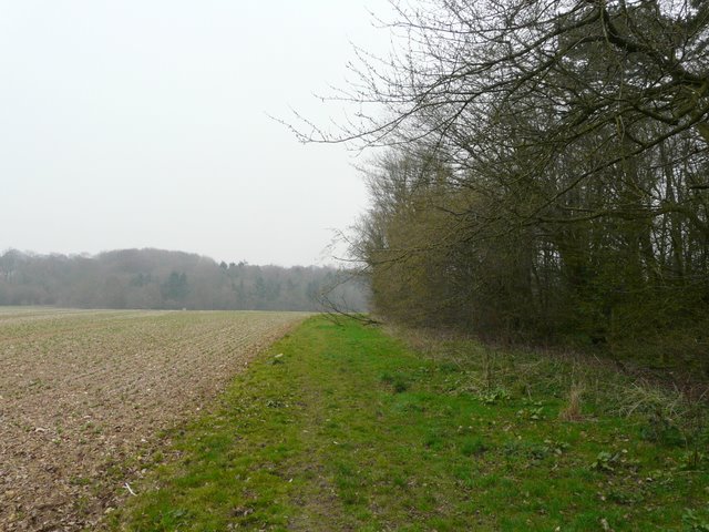
The path along the edge of Byslips Wood
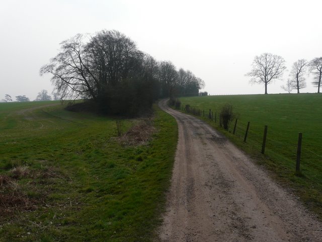
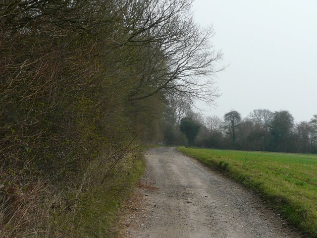
Beyond the wood, I picked up the 'public byway' section of Roe End Lane, a pleasant track between hedgerows. Where the lane proper begins, I turned right and followed the gravel track leading towards Beechwood Home Farm. This went up and down a small valley, and then at a track crossroads I turned left and headed for the large buildings of Beechwood House school. I heard and then saw a Buzzard along here.
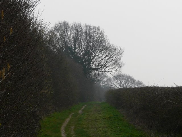
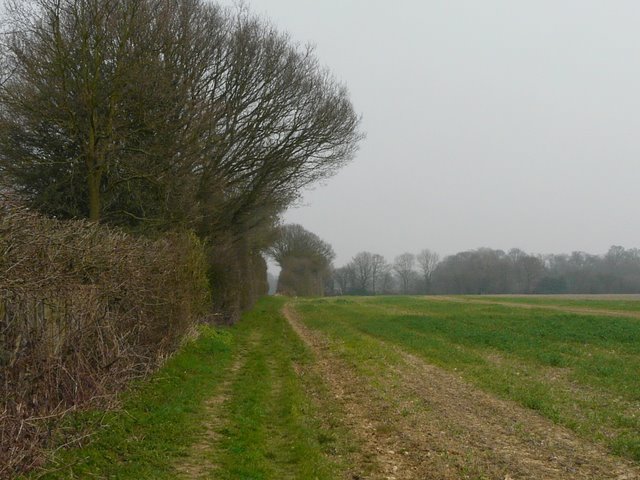
The 'public byway' that is the continuation of Roe End Lane
The track from Roe End to Beechwood Home Farm
The track from Beechwood Home Farm to Beechwood House
Just beyond the school, I turned right on a path that went around the edge of the school playing fields, where some hockey matches were in progress. A short path then went downhill through a large cattle pasture to reach a corner of a lane, where I turned right onto a track called Dean Lane. Another short path then led left, reaching the road and village of Gaddesden Row by a children's playground.
The path from the playing fields of Beechwood House
Dean Lane
I went left for a short way along the road, then took a path alongside the village allotments, where two or three people were at work. I noticed that the stile at the end of the allotments, where I have stopped for lunch once or twice, had been replaced by a kissing gate. I turned left, and went through one or two more gates as the path led through some empty enclosures with wooden fences (they look like paddocks, but I've only ever seen sheep in them). Across a lane, the path continued, parallel to Gaddesden Row over to my left. Beyond an arable field, the path went through a couple of meadows, then went past a cottage with a small pond with exotic wildfowl. A little further on, the path went half-right across the parkland around Golden Parsonage, a large house that is actually the surviving wing of a precursor of the nearby Gaddesden Place. I turned left and then right again, along a grassy avenue between trees where there were several fences for horse to jump, and then the path continued for some distance alongside a large arable field on my left. I turned left at the end of the field, following a farm drive to a road, where I went a short distance right to reach the intriguingly named hamlet of Briden's Camp (there are two road signs as you enter the hamlet, which disagree as to whether or not the name contains an apostrophe).
The path parallel to Gaddesden Row
Path across the parkland around Golden Parsonage
The path to Briden's Camp
I then took a path on the left immediately after the village pub. I was delighted to see my first Greater Stitchwort of the year in the hedgerow on my left, this being one of my favourite wildflowers. The footpath soon forked slightly left, along a track that was initially running next to a wood on the left, and then for some distance alongside a hedgerow. The path then switches to the left of the hedgeline and runs along the edge of a field (though I suspect many people stay on the track, joining the field side path later on).
The path from Briden's Camp
The path from Briden's Camp
Approaching Gaddesden Row again
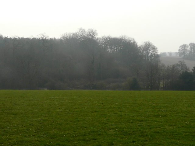
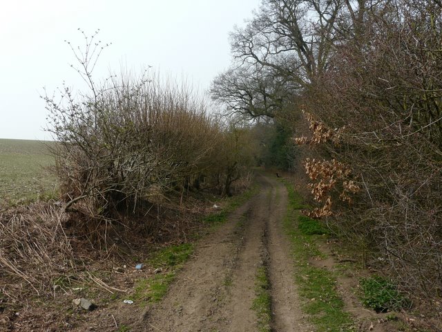
At the end of this very large field I reached the road of Gaddesden Road again. Almost opposite, another path continued, following the left edge of another arable field and then going right a few yards to a stile. The path continued beside Long Wood on my right to reach a bridleway, where I turned right. As I followed the bridleway along the north side of Long Wood, I spotted another 'first' for the year, some lovely Wood Sorrel. I then took a path on the left, a path I jokingly refer to as the 'path to Nirvana' as it heads towards a cottage of that name (according to the map). The path ran beside a small wood on my right, then descended a small valley through a field of some type of root crap, before turning right, following the valley bottom with Greenlane Wood now on my left. the path then turned left, following another side of the wood up the other side of the valley.
Start of the path from Gaddesden Row
Start of the path to Nirvana
The path to Nirvana