Pete's Walks - Watlington Hill and Russell's Water (page 3 of 5)
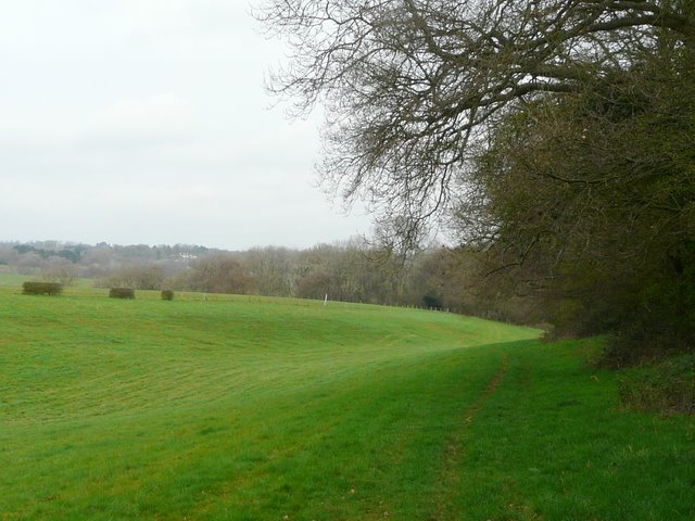
I went a few yards along the road to my right, then took a path on the other side that entered more woodland. The path soon turned slightly right, with an edge of the wood nearby on the left and a long line of old beech trees on a small bank on my right. This path was new to me, and it was a very pleasant discovery, being an attractive woodland walk. When another path came in from the left, this path turned half-right, still following the line of beech trees on the small bank. When I reached a drive (going down to Westwood Manor Farm somewhere away to my left), a faint path seemed to continue ahead, but I realised from looking at the map (and some arrows on the trees) that I needed to follow the drive a few yards to my left, then continue on a path along the very edge of the wood. This took me to the grand house named Magpies on the map (at least I assume its the house, it could be the name of a hamlet as there were one or two other houses here).
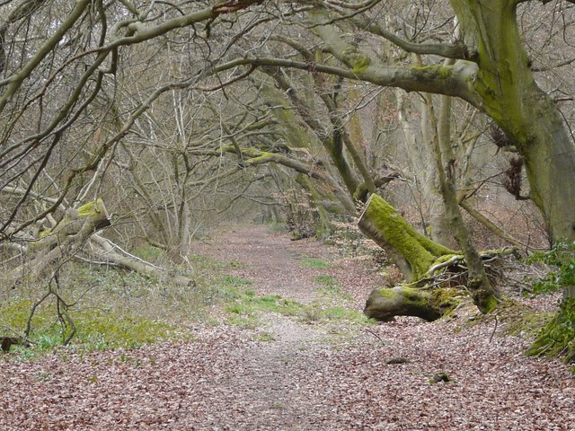
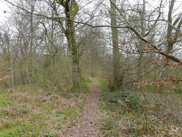
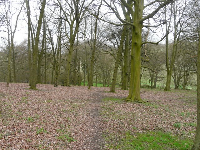
Start of the path from near Park Corner to Magpies
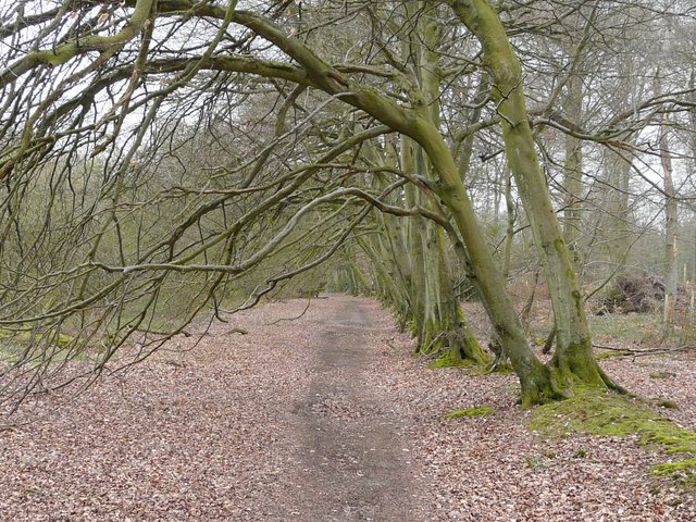
The path from near Park Corner to Magpies
The path from near Park Corner to Magpies
The path from near Park Corner to Magpies, after crossing the drive to Westwood Manor Farm
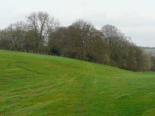
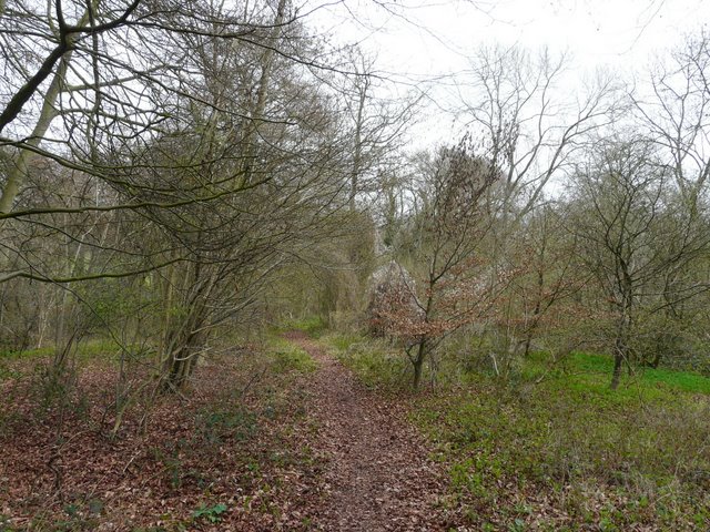
I turned left onto a path that soon ran through the edge of a large garden here, then through a gate into a meadow. The path followed the hedge on the right for a while, then crossed a small dip to reach a wood (this is marked Berrick Trench on the map, but I'm not sure if that is the name of the wood or of some feature in it - I suspect it's a feature, as the name is printed at an angle whereas all other wood names are written horizontally). Anyway, it was very pleasant following a narrow path gradually descending through the trees, with plenty of wildflowers either side. Near the bottom of the valley, the path emerged from the wood at a farm track, across which it continued for a few yards down the edge of a large pasture to reach another track a short distance east of Westwood Manor farm..
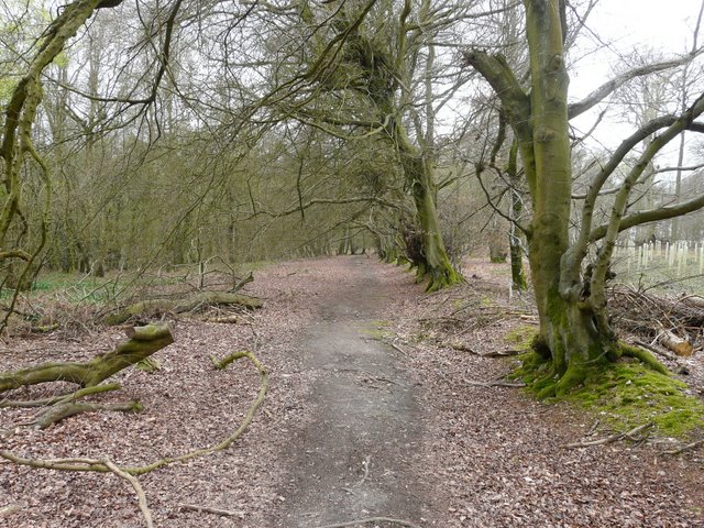
Near the start of the path from Magpies
The path from Magpies
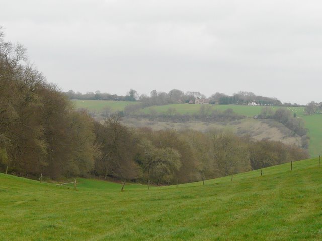
A view from the same spot
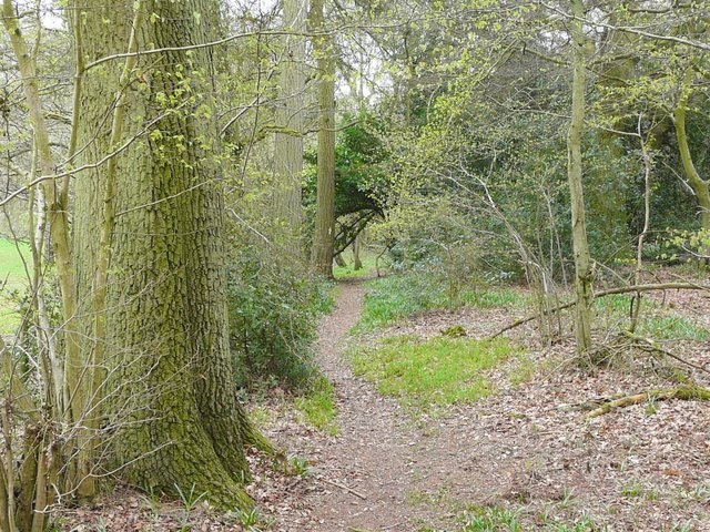
The path through or along Berrick Trench - the map isn't clear as to whether this is the name of the wood or some feature in it
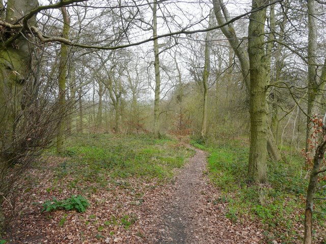
Further along the same path
Still further along the same path
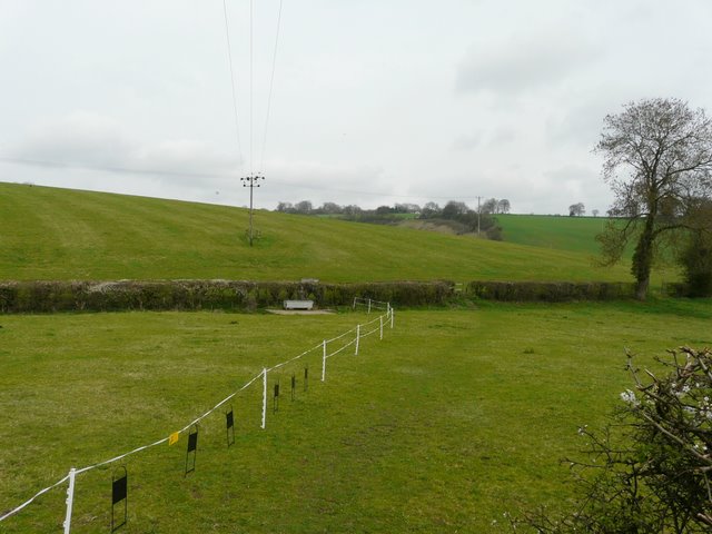
This track is the one I usually follow from Park Corner (if I went right I'd soon reach the multi-path junction where the Southern Extension splits from the original route of the Chiltern Way, and a little further on I'd reach the Warburg Nature Reserve). This valley is Upper Bix Bottom - I've just found that out from a small map in the Chiltern Way guide book, previously I'd thought it was the other of two valleys that converge at the multi-path junction I just mentioned. To get to my next destination of Russell's Water, I could have turned right here, then left at that big path junction, but I decided to go on exploring new territory by taking a footpath continuing straight ahead.
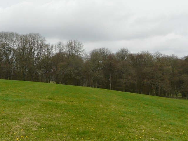
This crossed a small paddock, following an electric fence, then went uphill a short way in a very large empty pasture - I had to rather guess the line of the path, and went a little too high and to the left, as I discovered when I eventually spotted an arrow on a tree on the far side. It was then just a few yards through trees to reach the bridleway along the other valley that I wrongly thought was Upper Bix Bottom. I was now back in familiar territory. I followed the bridleway left between hedges along the valley for about half a mile (this being the 'Ewelme Loop' mentioned in the Chiltern Way Guide Book) - about halfway along here another track came in from the left and at this point I rejoined the route I'd walked last March. I then turned right to follow a steepish but fairly short path into the village of Russell's Water. I turned left and stopped for lunch on a bench by the pond that gives the village its name.
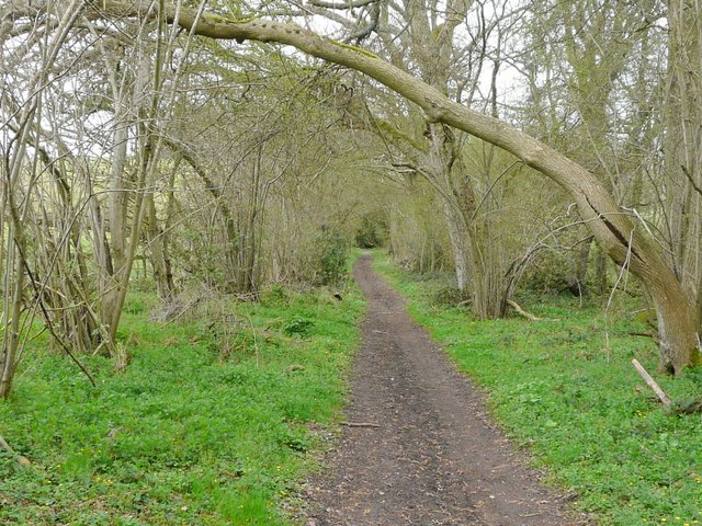
Start of the path from near Westwood Manor Farm
The path from near Westwood Manor Farm
The path from near Westwood Manor Farm
The bridleway along the valley (which I wrongly thought to be Upper Bix Bottom) - this half-mile section of bridleway links two sections of the Chiltern Way to omit a 10-mile 'Ewelme Loop'

The path up to Russell's Water
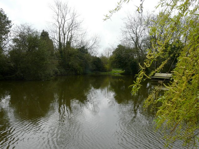
The pond that gives Russell's Water its name (apparently it was once owned by a Blacksmith named Russell)