Pete's Walks - Watlington Hill, Southend, Maidensgrove (page 5 of 5)
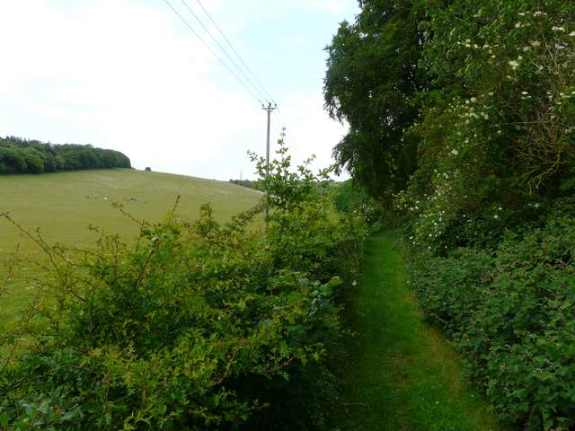
The path through Greenfield Copse soon headed downhill quite steeply, eventually joining a bridleway as it left a corner of the wood. The bridleway soon turned left, but I continued straight on along a path through a long belt of trees and bushes. The path then followed a left-hand hedgerow through a large field of peas or some such, to arrive at the B480 Watlington-Nettlebed road (close to a spot marked Dumble Dore on the OS map).
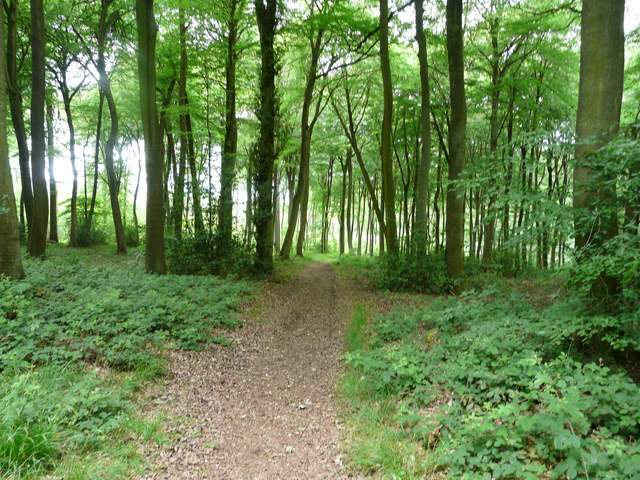
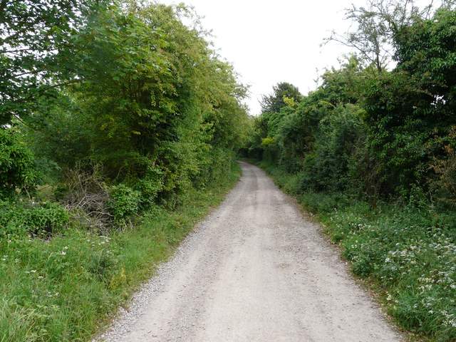
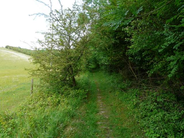
Greenfield Copse
Greenfield Copse
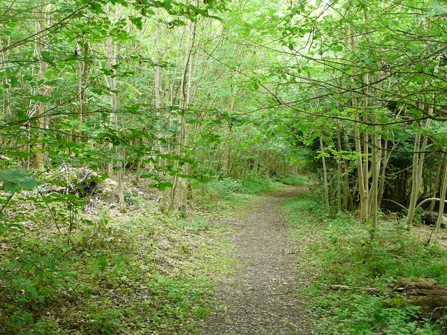
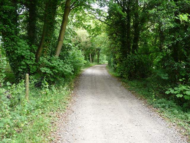
Bridleway at the foot of Greenfield Copse
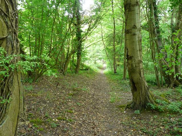
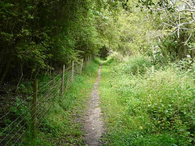
The path continuing northwest from Greenfield Copse
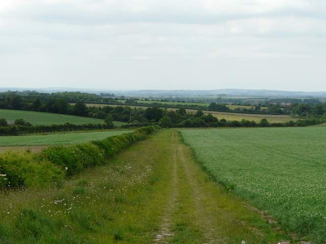
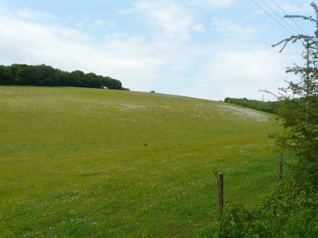
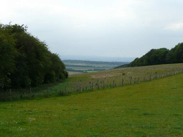
The path approaching the Watlington-Nettlebed road, looking towards the Oxfordshire Plain
I turned right and followed the road north-westwards for about a quarter of a mile (there wasn't much traffic and there was a safe verge anyway), before turning right along a private drive. Almost immediately a path forked left - this is the path that goes up to the car park on Watlington Hill which I've used many times before. I've marked it as the third 'alternative' on the map, and would use it if I did this walk again. But I wanted to try out a new path today, so continued along the hedge-lined drive for another half mile. I then turned left onto another drive, which ran past a few houses, with the bulk of Watlington Hill across a huge pasture on my left. At the end of the drive a path continued, between the fence or hedge of the pasture and Lower Deans Wood on my right.
The track going east from the foot of Watlington Hill
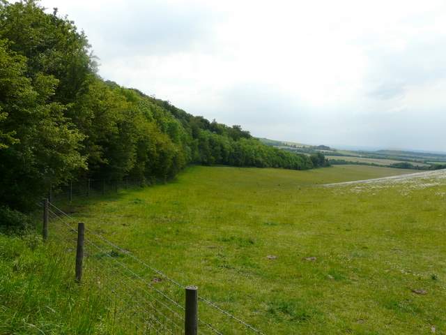
The track going south-east from the foot of Watlington Hill
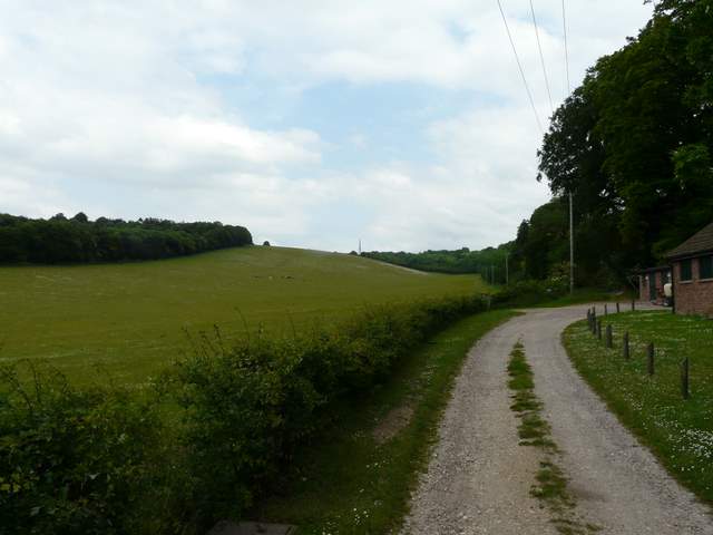
The track going northeast past Lower dean, parallel to Watlington Hill (left)
The footpath going northeast parallel to Watlington Hill
The path rose almost imperceptibly for quite a while, before steepening as it ran for a short distance with trees either side. This path was quite pleasant, but not as good as the direct path to the Watlington Hill car park. At the top of the hill, I went through a gate and across a few yards of the huge pasture to reach another gate and the Watlington Hill road. There was a good view back towards the Oxfordshire Plain from here. I then turned left, and retraced my steps along the road back to the car park.
The footpath going northeast parallel to Watlington Hill
The Watlington Hill car park is at the right end of the trees on the left - I was going rather a long way round to get there
Looking back down the path towards the Oxfordshire Plain
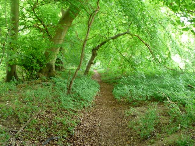
Near the end of the path, where it cuts through a small wood
Looking back from the end of the path, where it meets the Watlington Hill road
This was yet another really enjoyable route. I managed to link in some well-loved paths from other walks with some paths that were new to me, and the overall result was really good. I'd definitely like to do the walk again, though I'd almost certainly use the more familiar paths of the the first and third alternatives I've marked on the map.
To see this rout walked in the opposite direction in March 2012, click here.