Pete's Walks - Kensworth and Totternhoe (page 1 of 2)
If you are considering walking this route yourself, please see my disclaimer. You may also like to see these notes about the maps and GPX files.
I did this walk of about 12 miles on Saturday, 11th June, 2011. It was a slightly shortened version of my usual Kensworth and Totternhoe walk - I have marked the 'alternative' route on the map (a shortcut from Whipsnade through Whipsnade Heath to Kensworth, thus omitting Holywell from the walk).
This was my 'flower' walk - I don't think I've done it the last couple of years, but usually each summer I like to do this circuit to Totternhoe and back and simply record all the different species of wildflower that I see. So it was really a very long 'nature walk', rather than one of my usual walks. I stopped and photographed every wildflower species that I came across (I took about 100 flower photos) so the walk took much longer than it would normally.
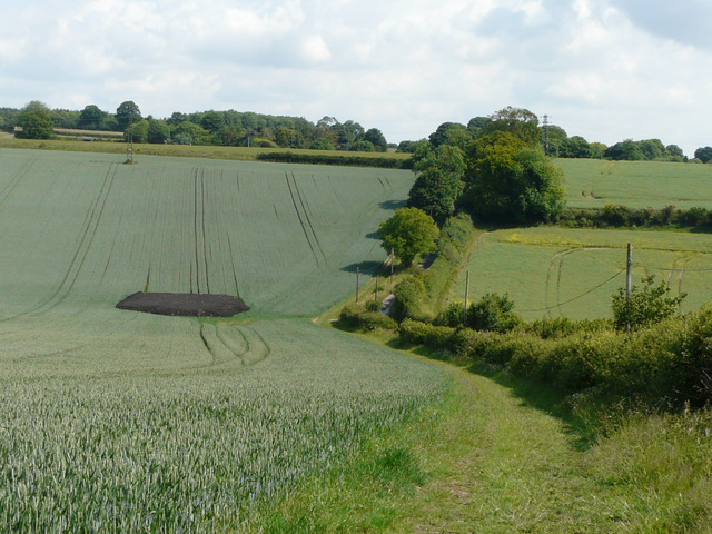
I've not been sleeping too well recently, and actually got up at 5.30am the morning before. It caught up with me today as I overslept to 9.15am and so didn't start walking until 10.30am. Just as well I was doing a local walk! From Kensworth, I set off down Hollicks Lane and followed the parallel footpath, continuing on to reach Church End. Behind the church a path led through a meadow, then a short path on the left took me to the path round Kensworth Quarry, where I turned right.
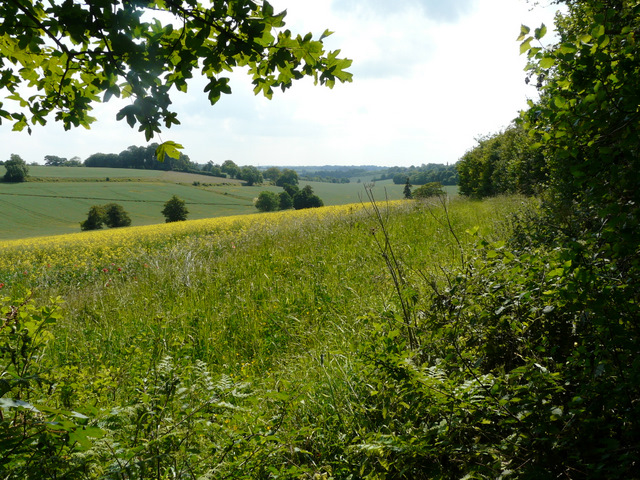
View east from Hollicks Lane, Kensworth
The path beside Hollicks Lane, heading to Church End, Kensworth

The path in the meadow north of Kensworth Church
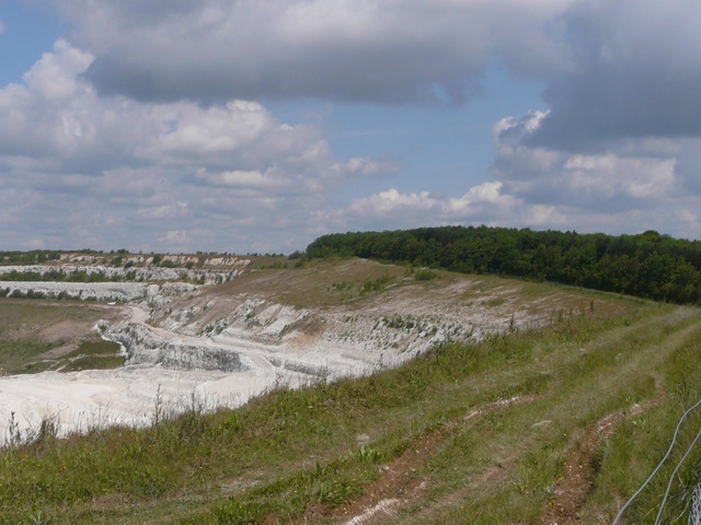
The eastern end of Kensworth Quarry
I followed the path round the quarry for over a mile, before going right through trees to join a path coming up from Dunstable beside the Dunstable Downs Golf Club. I turned left, and soon reached the minor road running across the top of Dunstable Downs. I then had a pleasant stroll heading north-east along the top of the Downs, with splendid views out over the Vale of Aylesbury.
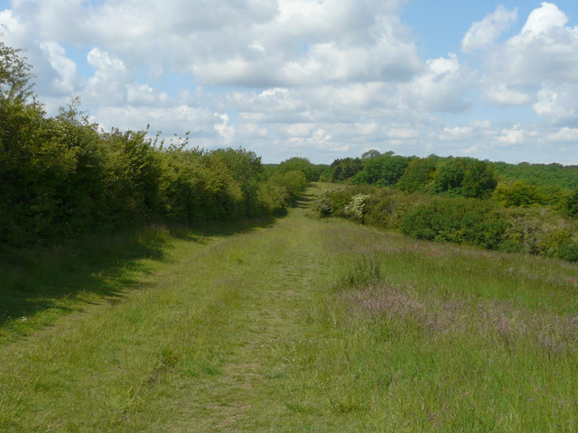
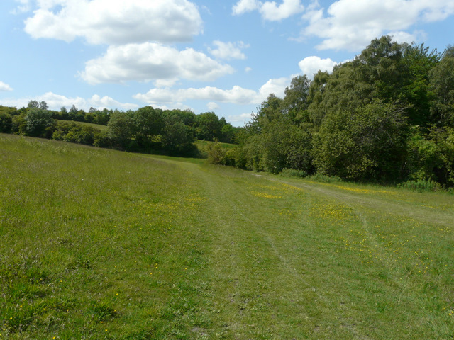
The path around Kensworth Quarry
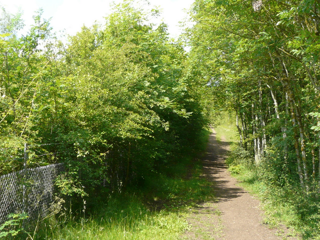
The path around Kensworth Quarry
The path around Kensworth Quarry
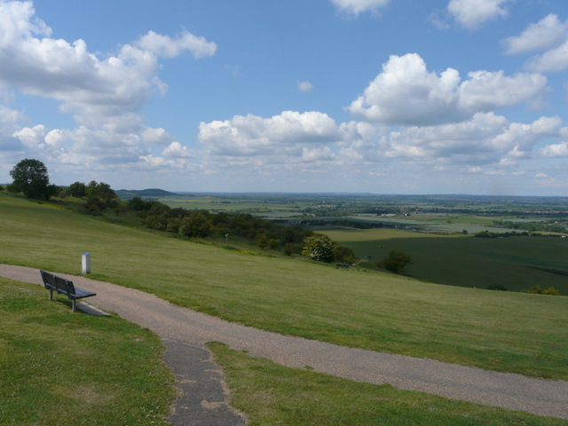
Ivinghoe Beacon and the Vale of Aylesbury from Dunstable Downs
Dunstable Downs
Just past the Five Knolls burial site, a wide strip of grass led downhill towards a roundabout in Dunstable (where West Street changes to Tring Road). On the far side I continued down the aptly named Green Lane, soon leaving the town behind and then turning right on a path that took me to the edge of the hamlet of Sewell.
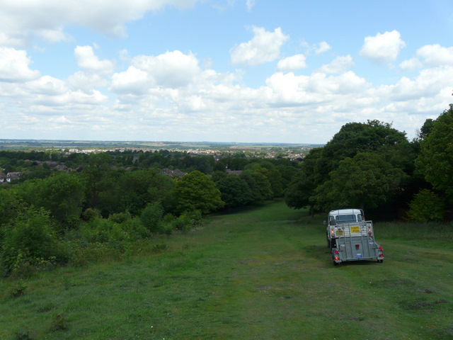
The path from Dunstable Downs down to Dunstable (you can't normally drive here, the land rover is that of the NT warden)
Green Lane, Dunstable
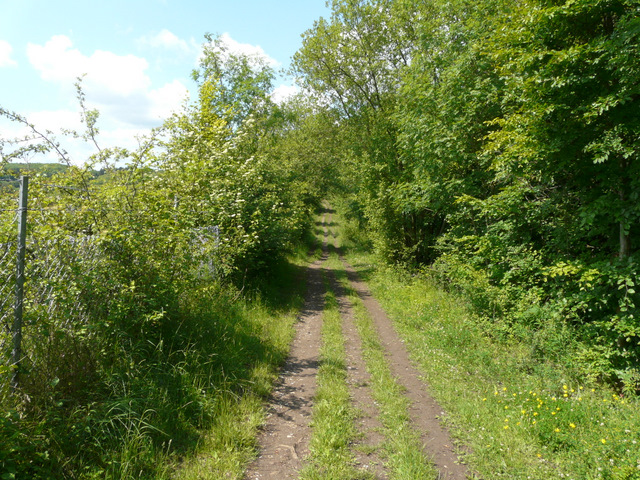
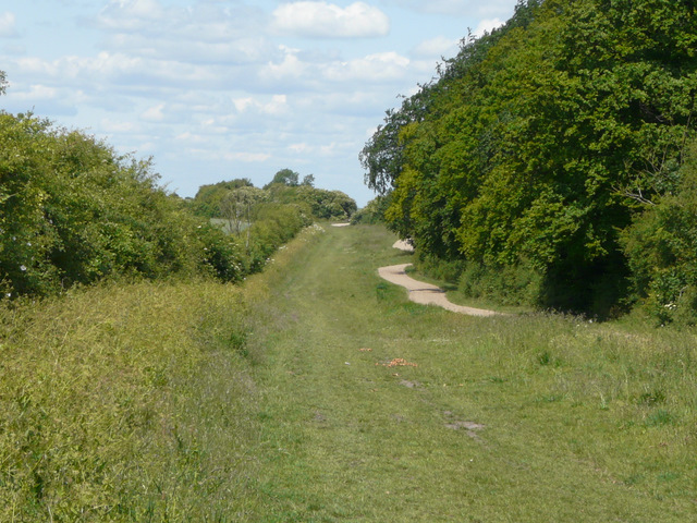
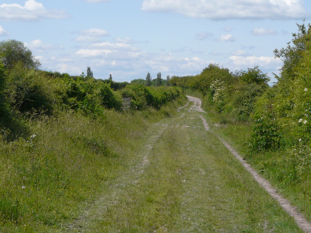
The path to Sewell
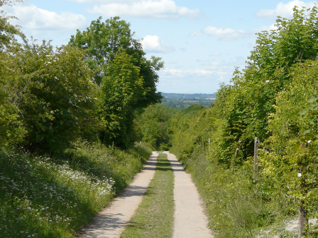
The path to Sewell
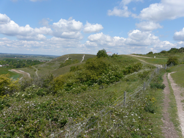
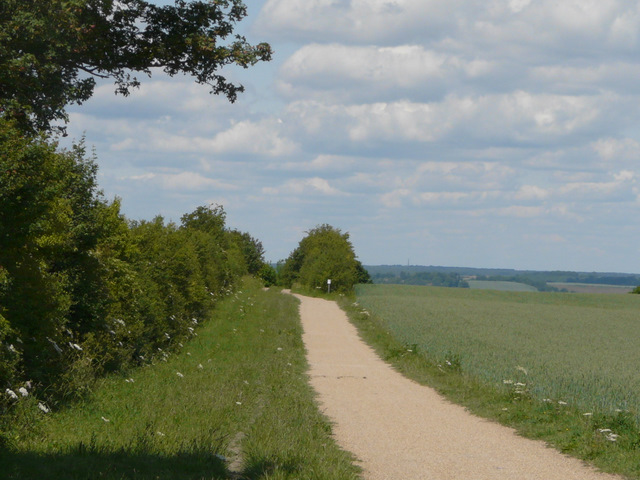
Another hedge-lined track then led onwards from Sewell, passing old quarry workings on my left. I followed tracks and paths round the large works (the 'Totternhoe Lime and Stone company', or something like that), and made my way to the bottom of the Totternhoe Knolls nature reserve.
Near Sewell
Between Sewell and Totternhoe
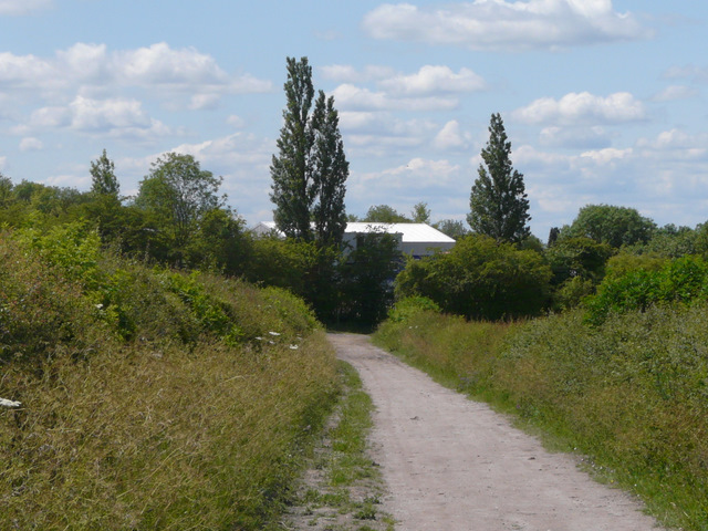
Approaching the works at Totternhoe