Pete's Walks - Lilley-Barton (page 1 of 5)
If you are considering walking this route yourself, please see my disclaimer. You may also like to see these notes about the maps and GPX files.
Google map of the walkDownload GPX file of the walk
I did this walk of about 14.5miles on Monday, 25th July, 2011. Click here to see a map of the walk (but only if you have already read my disclaimer and notes regarding maps). It was a repeat of my Lilley-Barton walk, one of my all-time favourites. I did it in the anti-clockwise direction, using the two alternatives shown on the map - I think this is the best way of doing the walk.
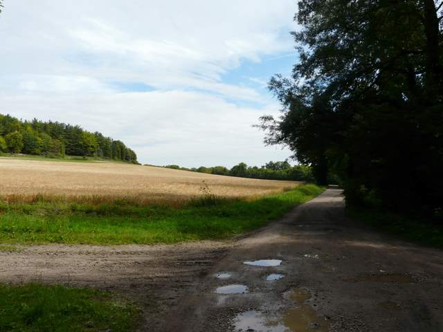
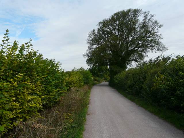
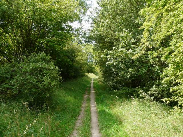
I started walking from Lilley about 9.40am, having parked close to the village pub (grid reference Lilley TL118265). I took the footpath opposite the church, which soon crossed a large paddock, then went half-right to the corner of a much larger empty paddock. I then followed a hedgerow climbing quite steeply uphill, with the A505 Luton-Hitchin road across the corn field on my right. The path continued more gently down the other side of the hill, with views ahead towards Great Offley.
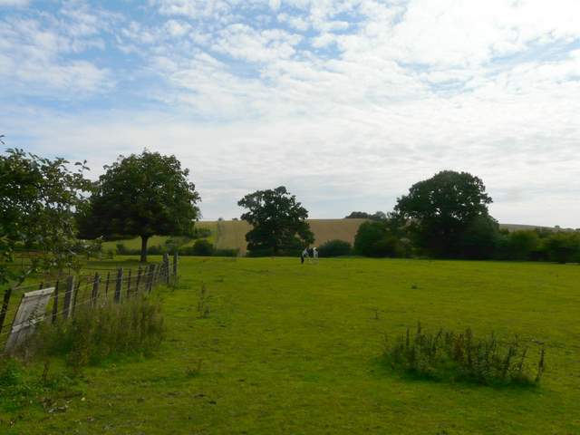
Paddock at Lilley at the start of the walk
Steepish hill after the initial couple of paddocks
The path continuing at the top of the hill - Great Offley is in the distance, across the A505 Luton-Hitchin road
A little further along the same path
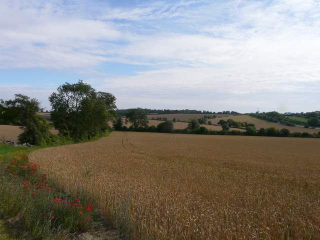
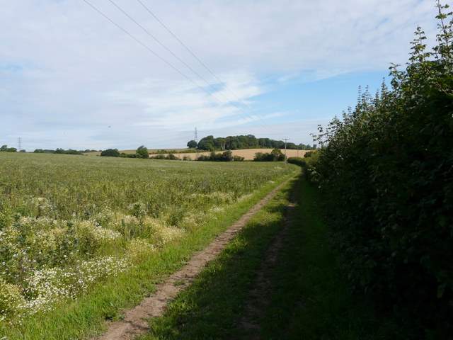
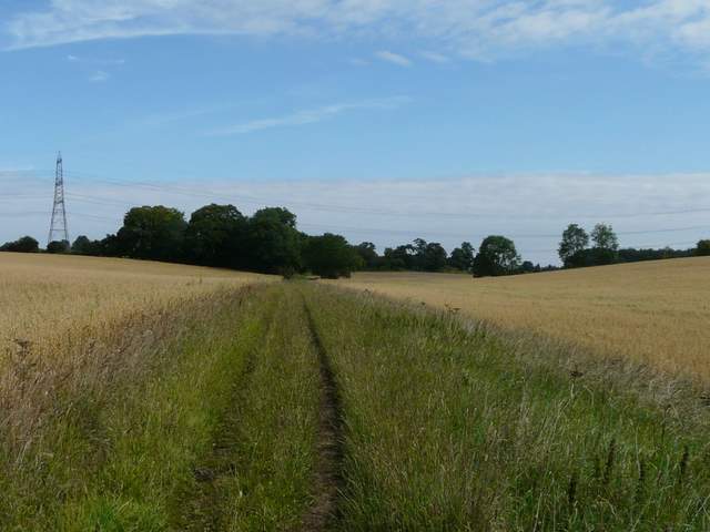
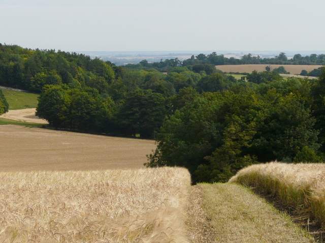
At the end of the path I turned right for a short distance along Lilleyhoo Lane, then turned left to resume walking in a generally northerly direction. Again I was following a hedgerow, this time on my right as I passed through a number of mainly corn fields. Further on the field boundaries were on my left again. After about a mile, I turned left along the drive to Little Offley House, soon leaving it to follow the far side of a hedgerow on the right, which soon brought me to the edge of a farm at Little Offley. Here I turned right, soon heading downhill through another corn field with a good view ahead towards the flatter parts of Bedfordshire, with the woods around Wellbury in the foreground.
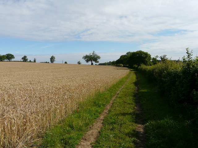
Near the start of the bridleway going north from Lilleyhoo Lane
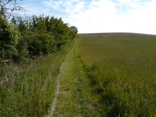
The bridleway going north from Lilleyhoo Lane
The bridleway going north from Lilleyhoo Lane, heading towards Little Offley
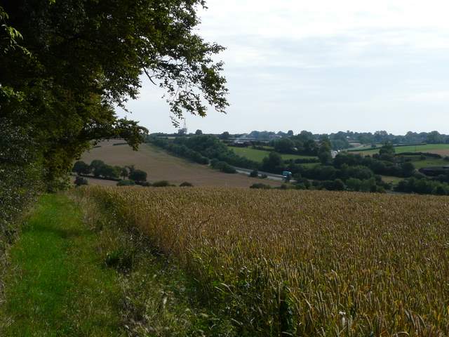
The path from Little Offley, descending towards Wellbury
At the end of the path I turned left onto a surfaced drive that led past the outbuildings of Wellbury House and then carried on for about half a mile to reach the B655 road. I followed the road left for a couple of hundred yards, then forked left (at a small car park) along a hedge-lined track, part of the Icknield Way (and also the Beds/Herts county boundary).
The drive from Wellbury
The drive from Wellbury
The Icknield Way, near Deacon Hill
After about a third of a mile, I turned right and took the steep path going up Deacon Hill. Almost straight away I spotted a Chalkhill Blue butterfly, which posed obligingly for a photograph. I'd only ever seen one two or three times before, but now as I climbed steadily up the green hillside I seemed to see another two or three of them every few yards I went. It was good to see this rather scarce butterfly doing so well.
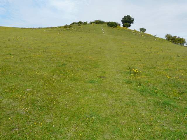
The path up Deacon Hill
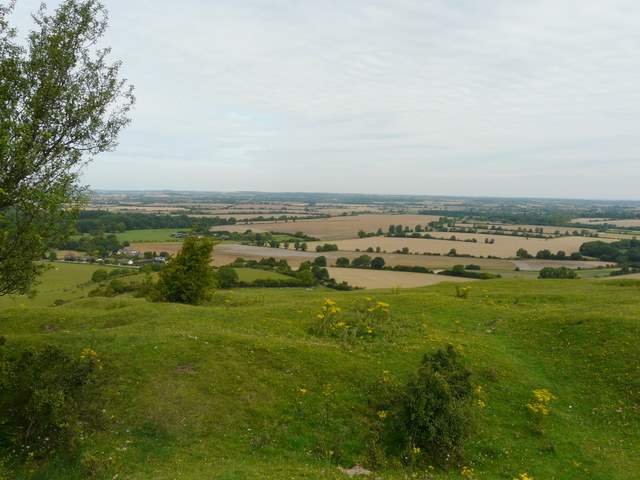
View northwards from Deacon Hill
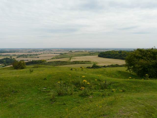
Looking towards the tumulus of Knocking Knoll from Deacon Hill