Pete's Walks - Cholesbury and Whelpley Hill (page 3 of 5)
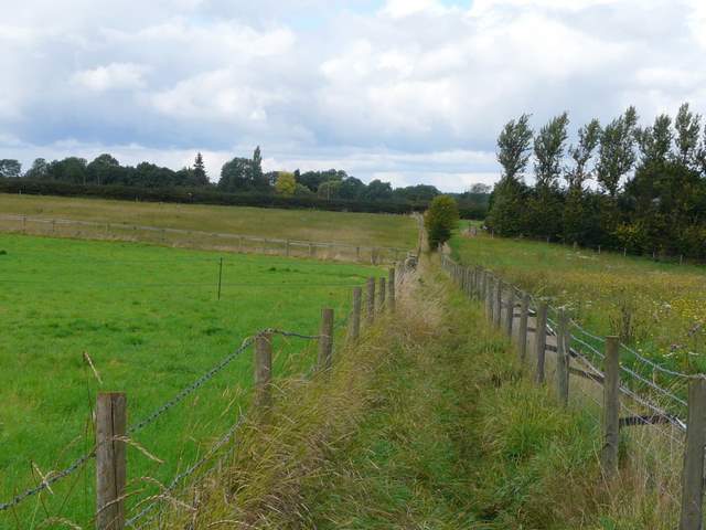
As I reached Bottom Farm, I turned left onto a bridleway that initially ran through a garden. It continued along a hedgerow near the bottom of an attractive valley - a thin meadow stretched along the bottom of the valley, with ploughed fields rising up the slopes either side. Another shower now started, and I had to put my waterproof jacket back on (I was wearing my gaiters today because the conditions were muddy after heavy rain in the previous 24 hours, so I didn't bother with my waterproof trousers). After some distance the bridleway went through the hedgerow on my right and crossed the long meadow, carrying on along the far hedgerow. Just beyond the end of the meadow, I reached a hard-surfaced drive by Lower Farm. When planning the walk I'd intended to turn right here, but I now decided to extend the route slightly. I continued a little further along the valley, following the surfaced drive, and then turned left onto a footpath that followed a hedgerow on my right, rising uphill beside yet another field of stubble.
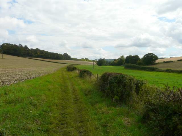
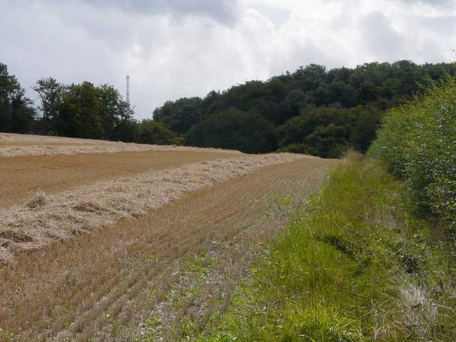
The path from Bottom Farm to Lower Farm
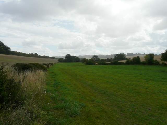
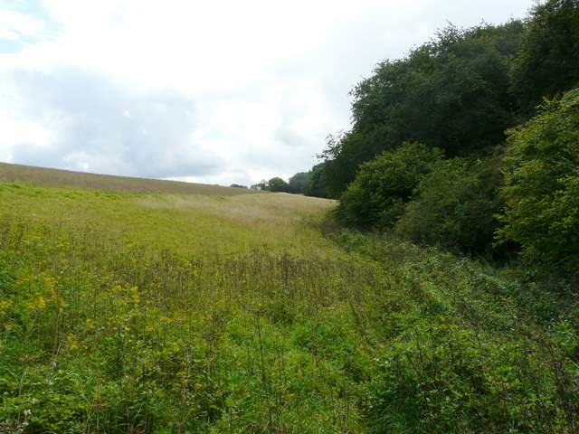
The path to Lower Farm
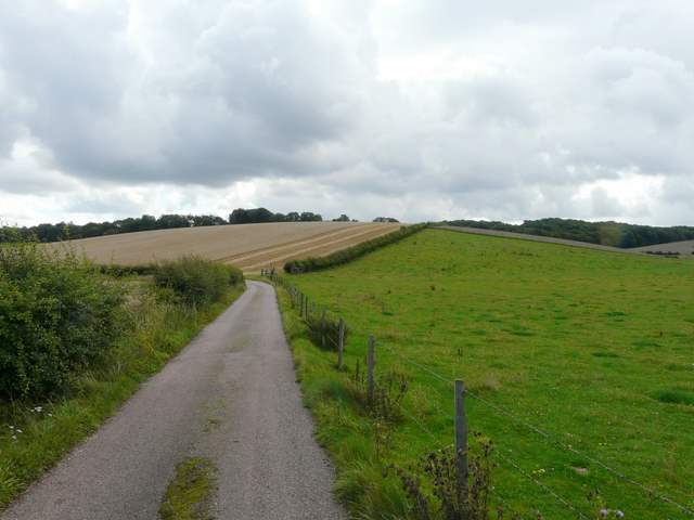
The drive from Lower Farm - the route continues along the far side of the rising hedgerow in the centre of the photo
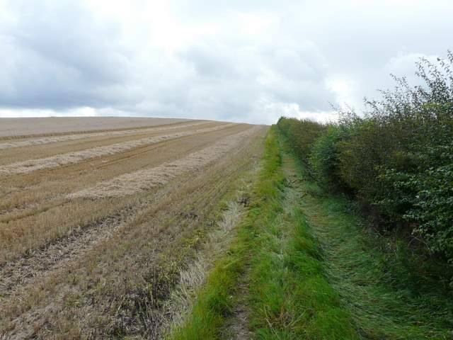
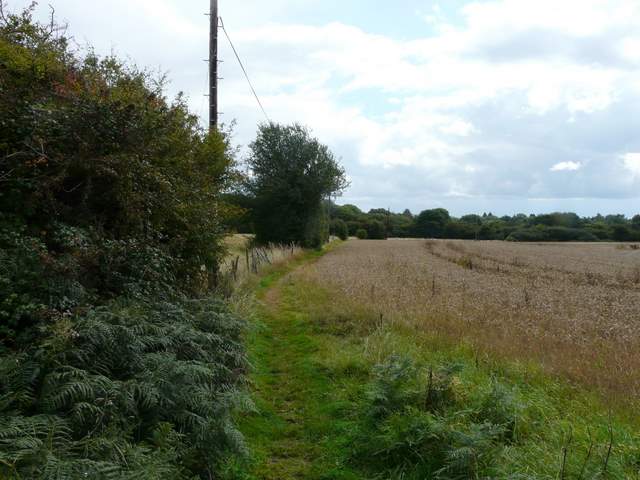
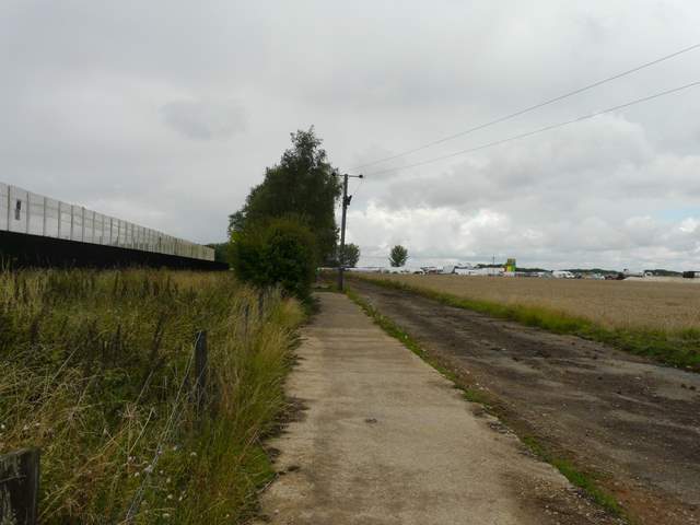
The path from near Lower Farm
The path soon levelled out, and when I reached the field corner it continued beside Coleshill Wood on my right. The path here ran through an area of tall weeds and grass and was slightly overgrown. Beyond the wood, the path switched to the right of a hedgerow, where I noticed some lovely Field Pansies beside the stubble. At the next field corner, I reached a lane or drive where I turned right - this soon led me to the entrance to a paintballing centre (which presumably explained some shots and shouting I'd heard earlier from Coleshill Wood).
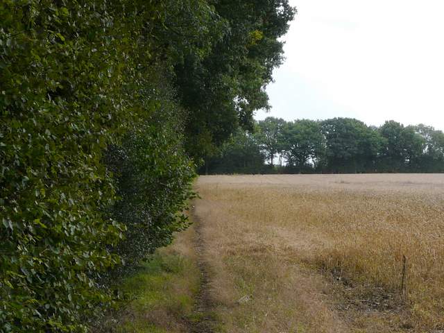
The path from near Lower Farm, approaching Coleshill Wood (?)
The path continuing along the northern edge of Coleshill Wood (update 6/1/17 - the field on the left is now a plantation of trees)
The path continuing southeast - I turned right along a track in the far trees to reach the paintball centre
The path continued south for a short distance, then turned east (left) before curving southwards. I was now on the edge of the former Bovingdon Airfield. After a while I reached a path junction where I turned right - I'd earlier seen a sign mentioning a prison, and the tall fence over to my left was clearly a prison fence. At this point, I was turning back westward to head back towards Cholesbury. Rather bizarrely, I next had to make my way through a huge and busy market that was set up on one of the old runways (obviously a special event on this Bank Holiday Saturday). There must have been hundreds of stalls, plus a small funfair, and large sections of the old runways were full of parked cars. It was now raining again and I was glad I'd kept my jacket on after the previous shower.
(An embarrassing admission: all through this walk I was puzzling over why Bovingdon Airfield was so-called, as I thought Bovingdon was miles away, somewhere south of Hemel Hempstead. Doh! It was only while looking at the map again as I was annotating these photos that I discovered that it IS on the edge of Bovingdon! Oh well, at least I have now pieced together two areas of the Chilterns that were completely separate in my mind - I think that my confusion was due to the two areas being on different maps, Bovingdon lying on a thin strip of land that is on both the 181 and 182 OS Explorer maps).).
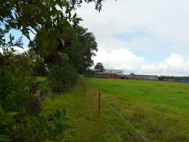
The path going southeast just after the paintball centre - a reservoir was now to my left
The path beside the prison fence, approaching the market on Bovingdon Airfield
Having fought my way through the huge and crowded market, I continued along the edge of another old runway. The path then continued a short distance along the left of a fence before turning right (update 6/1/17: the path now turns left at the end of the runway for a short distance, before turning left and then quickly turning right) and continuing towards Berry Farm (I wondered if this name was a corruption of the more usual Bury Farm). Here the path turned left to reach the village of Whelpley Hill.
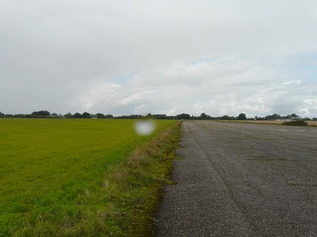
The path along a runway on Bovingdon Airfield (update 6/1/17 - I should have been walking along the grass on the other side of the runway)
Approaching Berry Farm
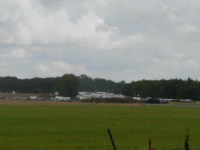
Close-up shot looking back to the market on Bovingdon Airfield
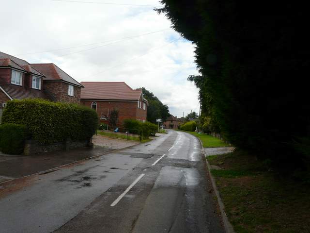
Whelpley Hill
I followed a road a short distance left and then, just past a duck pond on the left, I took a footpath going right, which passed through a mobile home park (static caravans). I was now back on vaguely familiar territory, as I was now on the route of the Chiltern Heritage Trail which I walked almost five years ago (What! Impossible, where has the time gone?!). I would now be following that route for a few miles, though going in the opposite direction to that described in my journal (though I did actually walk it both ways). Beyond the caravans the path continued between wire fences, with small meadows or pastures either side. Beyond a hedge I crossed a track (if I'd followed the route I'd originally planned and turned left at Lower Farm, I would have come in from the right here - this would have reduced the distance by almost a mile and a half). The path then carried on north-westwards across a huge stubble field to reach Sale's Farm.
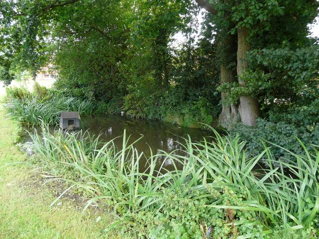
Duck Pond in Whelpley Hill
Start of the footpath going northwest from Whelpley Hill
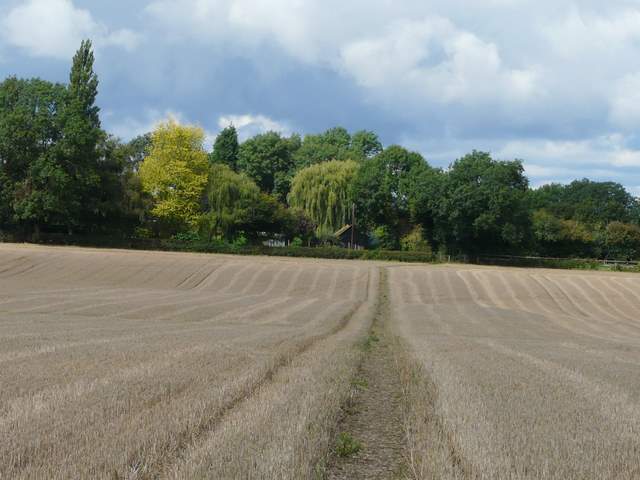
Approaching Sale's Farm