Pete's Walks - Watlington Hill and Park Corner (page 1 of 3)
If you are considering walking this route yourself, please see my disclaimer. You may also like to see these notes about the maps and GPX files.
UPDATE 30/10/2023: You now have to pay (£3 a day, I believe) at Watlington Hill car park, unless you are a National Trust member.
I did this walk of about 14.5 miles on Sunday, 11th September, 2011. This was a repeat of Walk 17 of my Chiltern Chain Walk, one of my favourite walks in the Chilterns which I had not done for about three years (I hadn't realised it had been so long until I just checked through my records!).
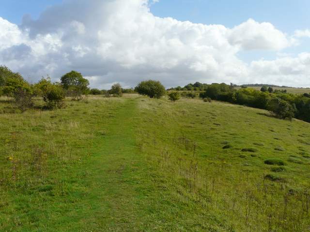
I set off very late from Kensworth (I'd had a bit of a lie in, as I'd got up early the previous morning to deal with my moth trap) and then discovered that the road down Bison hill was closed, so I had to take a lengthy detour through Studham and Dagnall. Consequently it was 10.30am when I started walking from the car park on Watlington Hill. The path heading west, down the southern side of the hill, is always enjoyable, passing through an area of Yew trees and descending along a recently cleaned out old 'hollow way'. Today there were masses of Eyebrights on the grassy sections of the hillside. The path continues between hedges at the foot of the hill, to reach the Watlington to Nettlebed road. I went right for a couple of hundred yards along the road, then turned left onto the route of the Ridgeway National Trail.
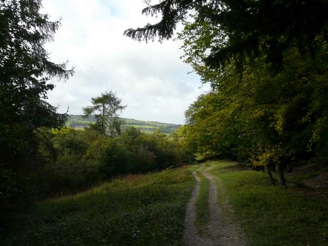
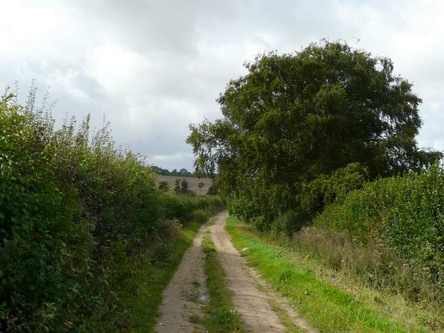
The path down Watlington Hill
The path down Watlington Hill
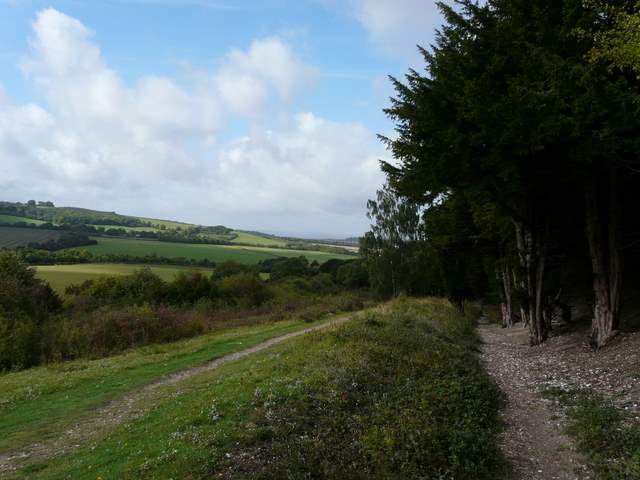
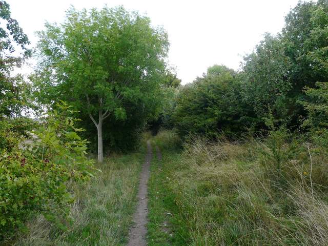
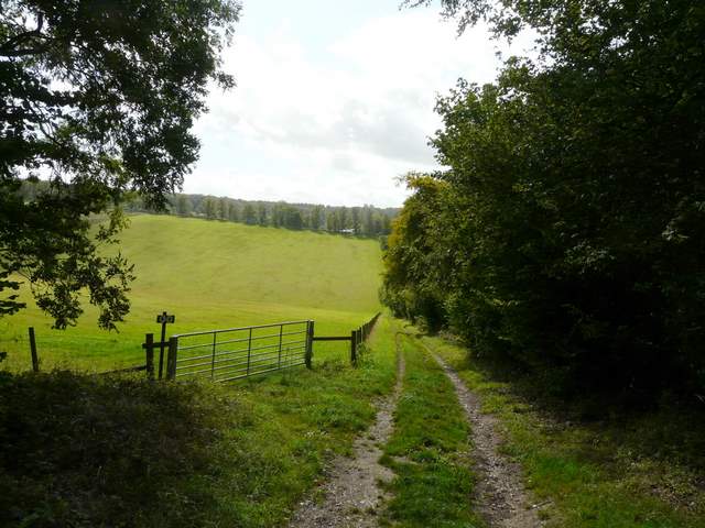
The Ridgeway follows the drive to Lys Farm House, but I immediately went over a stile on the left to follow the alternative permissive path on the other side of the hedge to the drive. Beyond Lys Farm House I followed a good track carrying the Ridgeway south-westwards between hedgerows, until after almost a mile I crossed a lane. Shortly afterwards the Ridgeway turned left at North Farm, but I continued along the good track, soon with views to Britwell Salome House over to my right. Scattered showers had been forecast, and there were now just a few spots of rain as I followed the track along the edge of Icknieldbank Plantation, on the western end of Swyncombe Downs. Just before the track reached a lane, I turned left and followed a path climbing steeply uphill through the wood to finally emerge on the western end of Swyncombe Downs.
The permissive path beside the drive to Lys Farm House
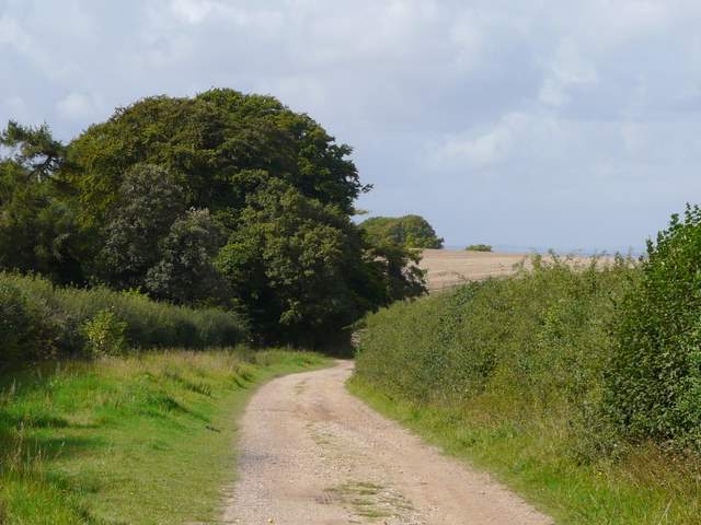
The Ridgeway National Trail, continuing southwest from Lys Farm House
The Ridgeway path continuing southwest
The Ridgeway path approaching North Farm
Approaching the wooded eastern slopes of Swyncombe Downs
The start of the path up Swyncombe Downs
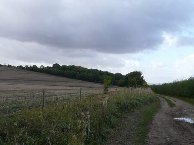
The path along Swyncombe Downs, from the edge of Icknieldbank Plantation
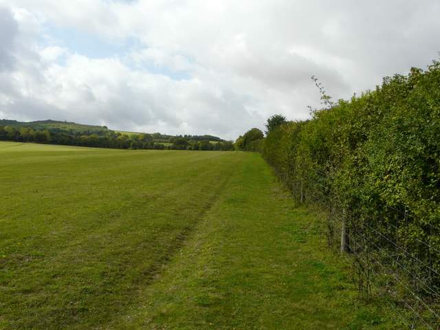
Again the lengthy path across Swyncombe Downs is always enjoyable, with views northwards along the line of the Chiltern escarpment towards Beacon hill near the M40 at Lewknor). There were still several wildflowers growing in the initial grassy section, then as I passed through an area of small trees and bushes I came across some Pale Toadflax, something I've only seen a few times before. Towards the end of the path I came across a flower which I did not recognise, but later had identified on a website as Devil's-bit Scabious.
The path heading east along Swyncombe Downs
Looking north from Swyncombe Downs, along the Chiltern escarpment - Watlington Hill is top right of the photo
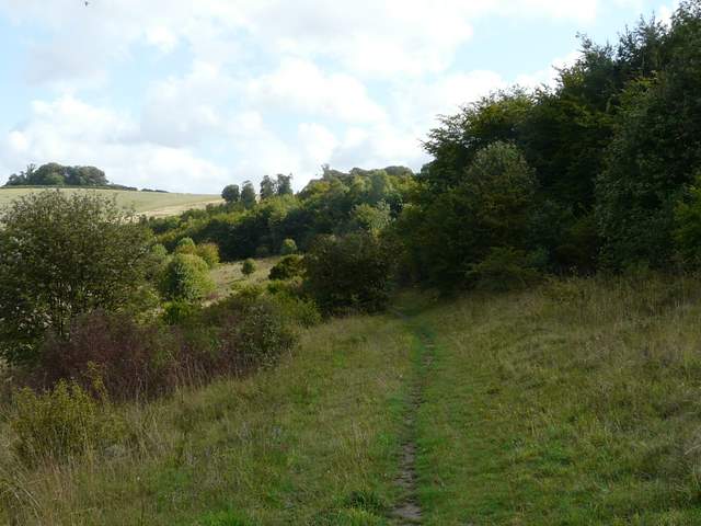
The path heading east along Swyncombe Downs
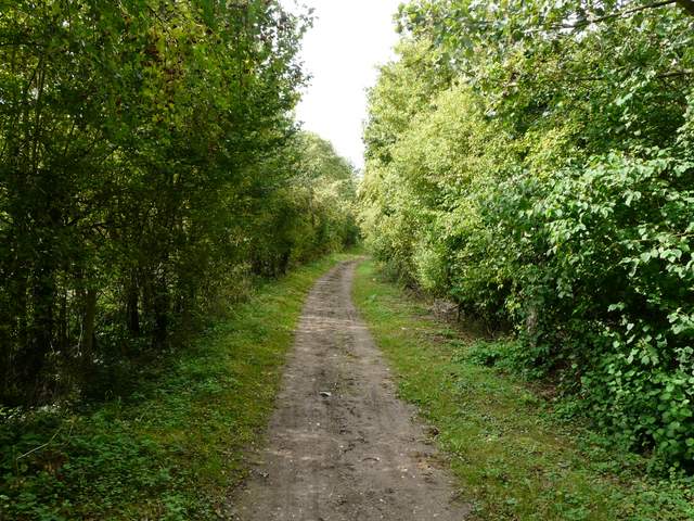
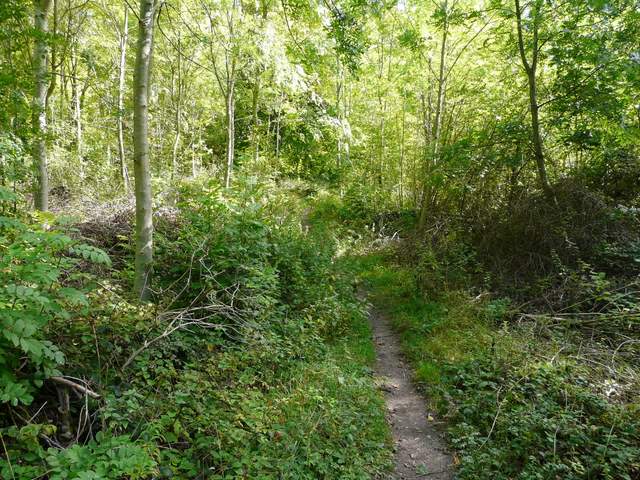
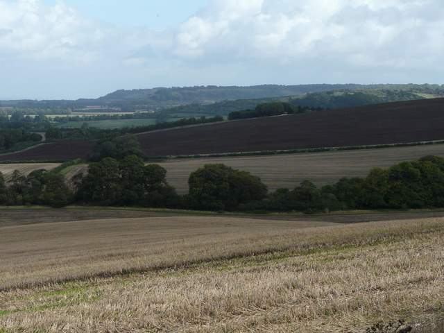
At the eastern end of Swyncombe Downs I turned right, rejoining the Ridgeway. The path rose steeply for a short distance in the trees of Dean Wood, before starting to descend - the path was blocked at one point by a large fallen tree. As the path emerged from the wood, I heard and then saw Ravens above me, and soon there were a number of Red Kites too. The path now crossed quite a steep valley, soon with a view right towards the Oxfordshire Plain and the dreadful eyesore of Didcot Power Station. The path ended at a lane junction, where I continued ahead to reach the eleventh century church of St Botolph's, Swyncombe.
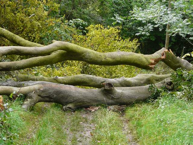
A 'road block' across the path over the eastern end of Swyncombe Downs (back on the Ridgeway again)
The Ridgeway crossing the valley just before Swyncombe
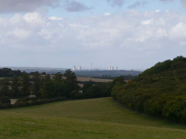
Looking west from the valley, towards the Oxfordshire Plain and Didcot Power Staton
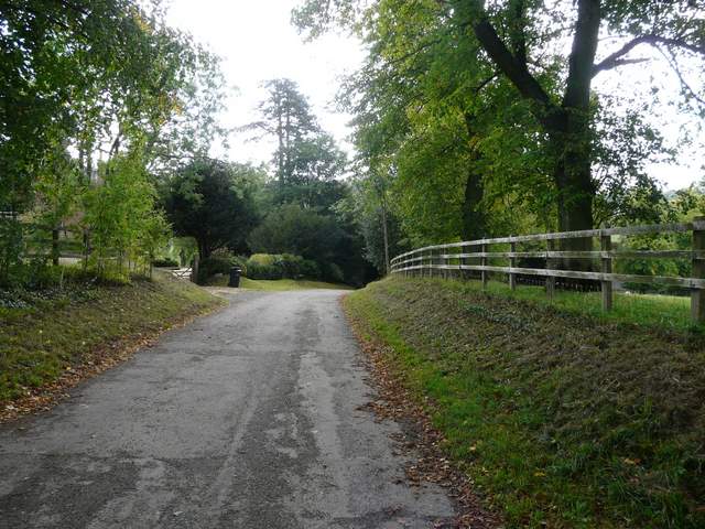
The lane to Swyncombe church
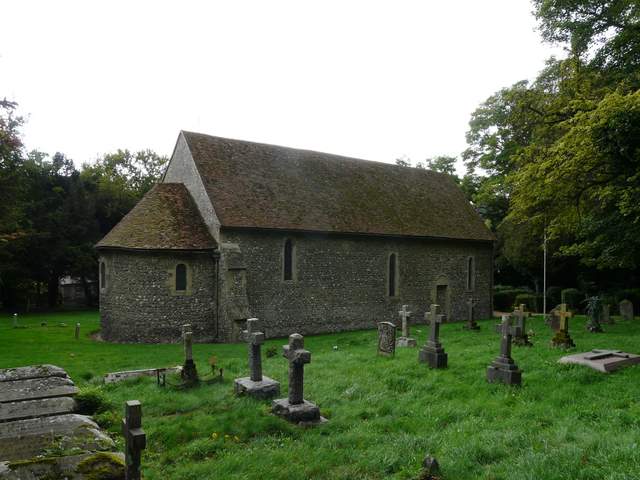
The ancient St Botolph's church, Swyncombe