Pete's Walks - Watlington Hill and Park Corner (page 3 of 3)
The byway continued eastwards past Westwood Manor Farm, and a little further on reached a five-way junction in Upper Bix Bottom (the spot where the Southern Extension splits off from the original route of the Chiltern Way). I continued on the same track, now going south-eastwards, to reach the Warburg Nature Reserve. After about a third of a mile through the woods here, I happened to look left along a crossing bridleway and spotted a couple of Fallow deer. Further on, as I approached the visitor centre, the track became very muddy and full of puddles. Just beyond the visitors centre I took a path on the left. This climbed steeply uphill through the woods (I always forget just how long and steep this path is!) to reach the village of Maidensgrove, near Lodge Farm.
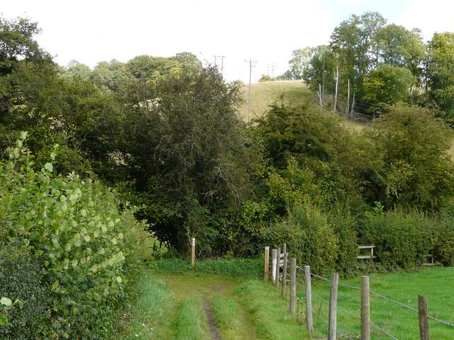
The five-way path junction in Upper Bix Bottom (where the southern extension leaves the main route of the Chiltern Way)
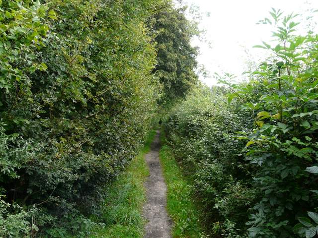
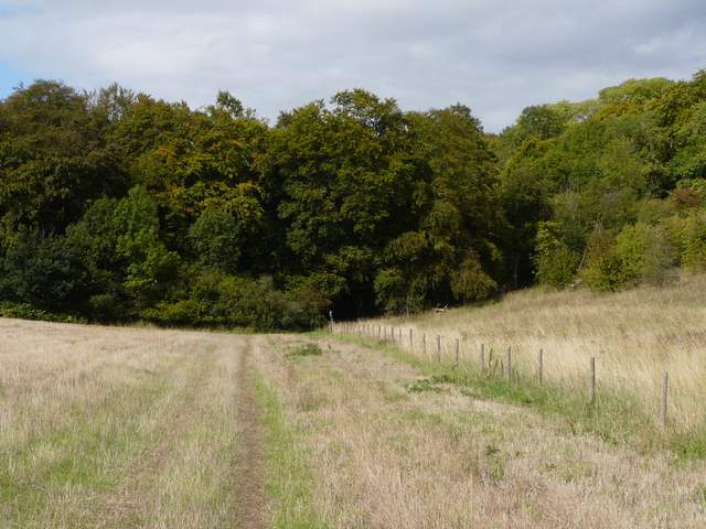
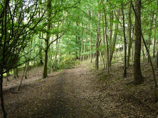
The path continuing towards the Warburg Nature Reserve
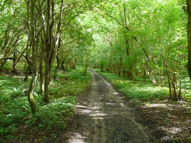
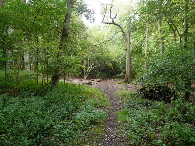
Warburg Nature Reserve
Warburg Nature Reserve
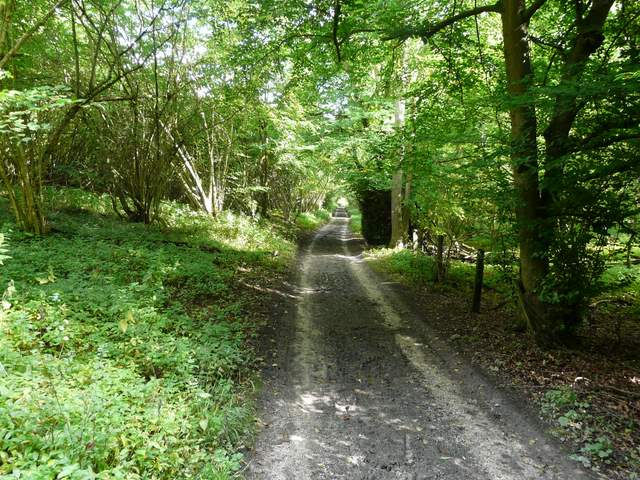
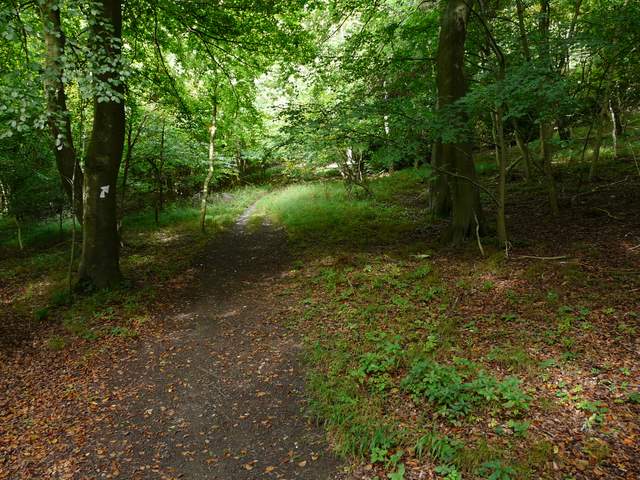
Start of the path from near the visitor centre up to Maidensgrove
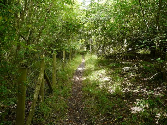
The path continuing up to Maidensgrove
From Lodge Farm, I started to follow the route of the Oxfordshire Way going north. I soon crossed a field to reach part of Park Wood, then crossed a lane and continued on into Pishillbury Wood, where I spotted a Muntjac deer. There was a long and steep descent through the wood, then the path followed a hedgerow up the opposite (much shorter and gentler) side of the valley, to reach Pishill.
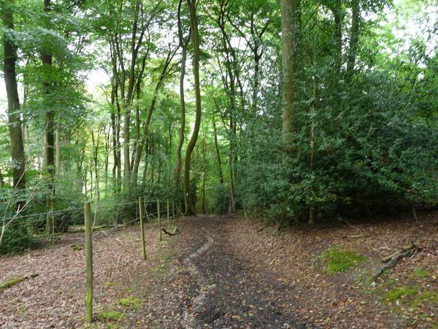
The Oxfordshire Way in Pishillbury Wood
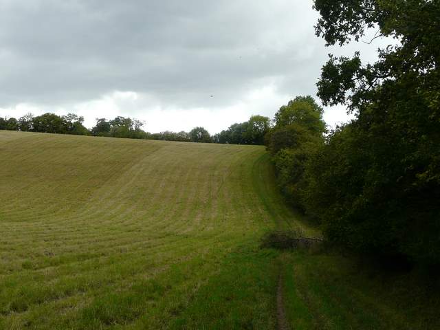
The Oxfordshire Way heading north to Pishill
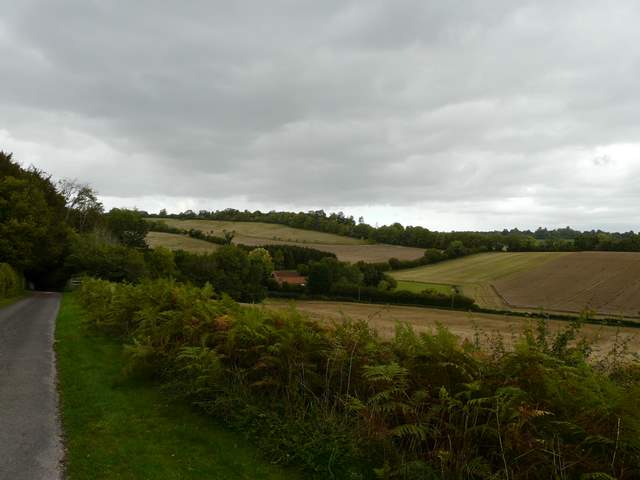
Looking north from near Pishill church
I followed the lane past Pishill church, then went a few yards right along the Pishill-Stonor road, before resuming my northwards progress on a footpath along a valley bottom. The path soon followed a right-hand fence, separating two huge meadows on either side of the small valley. After about half a mile I reached College Wood, where the path gradually rose through the trees on the right-hand side of the valley. On the far side of the wood, the Oxfordshire Way briefly shared the route of the Chiltern Way as they crossed a small meadow to reach Hollandridge Lane.
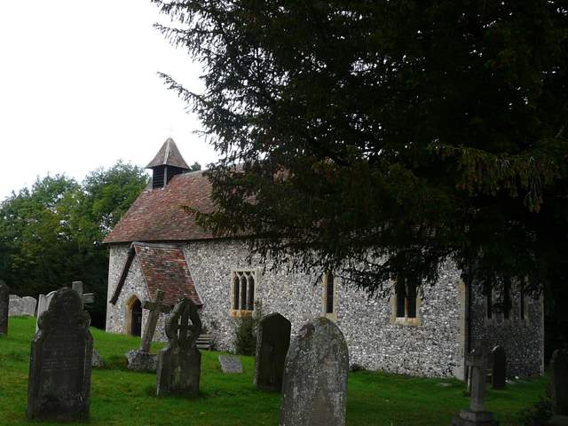
Pishill church
Approaching College Wood
The path through College Wood
The path through College Wood
Here I left the two long-distance paths and headed north up the lane (more a track) towards Christmas Common. The skies had gradually been getting darker, and I soon had to stop and put on my waterproof jacket. It rained all the time I followed the track back to Christmas Common, though never too heavily and I was well sheltered by tall hedges either side. I varied slightly from the route shown on my map by following Hollandridge all the way to its end. From Christmas Common it was then a short road walk back to the car park on Watlington hill.
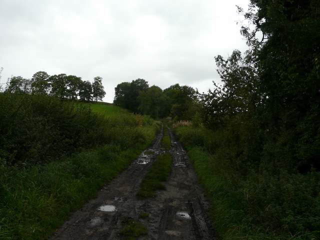
Hollandridge Lane
Hollandridge Lane in Christmas Common
I was very surprised to find that it was about three years since I last did this walk, it really is one of my favourites. I've since done many other walks from Watlington Hill, all of them very good, but this is still one walk I'll come back to time and again. The rain at the end didn't detract from what had been a very enjoyable day, with a good variety of scenery, some excellent views and a lot of interesting wildlife sightings too.