Pete's Walks - Chenies, Chipperfield Common, Ley Hill (page 1 of 5)
If you are considering walking this route yourself, please see my disclaimer. You may also like to see these notes about the maps and GPX files.
Google map of the walkDownload GPX file of the walk
WARNING: I would strongly recommend only doing this walk in the summer months, as the paths in the Chess valley at the end of this route can be affected by flooding. Even in summer they can be very wet.
I did this circular walk of about 13.3 miles on Saturday, 24th September, 2011. This was a new walk for me, though some parts of the route I'd done before. I'd wanted to do a walk in this region for some time, but hadn't got round to it mainly because of the slight route-planning problem caused by the area being split over three OS maps.
It was a few minutes before 10am as I started walking from Chenies (Grid Reference TQ 017984), on what was a beautiful September morning. From the village centre I went a few yards north along the road to Chesham (with my back to Chenies Manor, I was going left), then turned right into Holloway Lane (which is closed to motorised vehicles, except for access). From the start of the lane I got my first view of the lovely Chess Valley. Just after the lane turned left, I took a footpath going half-right, downhill across a very large pasture containing a solitary and distant horse. This path cut a corner off Holloway Lane, which I rejoined in the valley bottom and followed eastwards (right) between hedgerows.
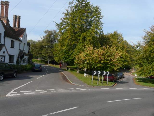
Chenies - I started by going a few yards down the road going right here
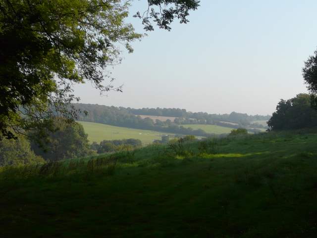
First view of the Chess Valley, from the start of Holloway Lane
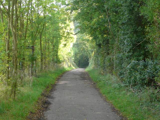
Holloway Lane

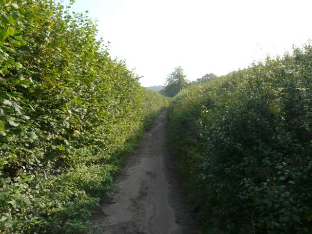
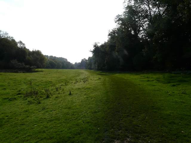
The Chess Valley, northwest of Chenies - the path on the left cuts off a corner of Holloway lane
Holloway Lane again, now in the bottom of the Chess Valley
When Holloway Lane turned left again (to reach the river Chess at a point where cress is grown commercially), I continued straight on along a footpath continuing along the valley bottom. It immediately entered Mount Wood, which was initially mainly young hazel trees. The path soon followed the valley as it turned right, southwards, the wood now becoming a bit more like a typical Chiltern beech wood. After over half a mile in the wood, I emerged at Sarratt Bottom, where I crossed the route of the Chiltern Way. I continued southwards, soon reaching a long thin pasture containing just three or four young cows. At the far end I reached a lane, where I turned left to cross Sarrattmill Bridge.
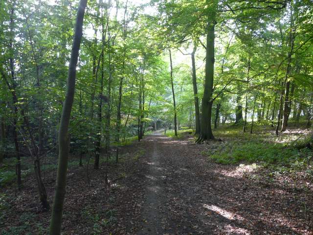
The path through Mount Wood
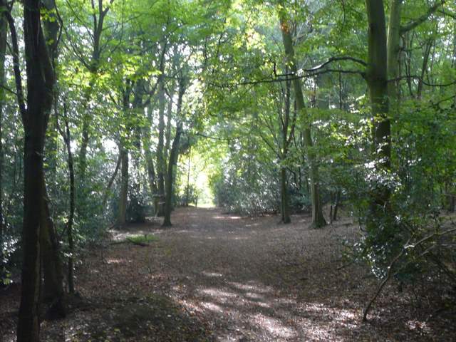
Approaching the end of Mount Wood
Sarratt Bottom, where the Chiltern Way crosses the Chess Valley
The path continuing southwards from Sarratt Bottom
The path south to Sarrattmill Bridge
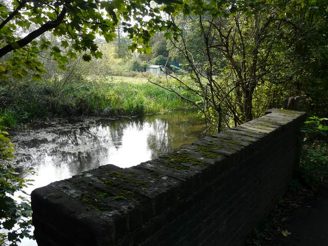
The river Chess at Sarrattmill Bridge
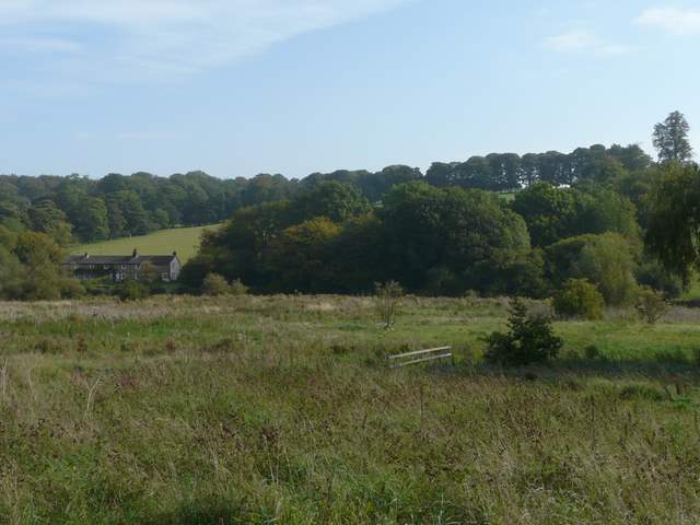
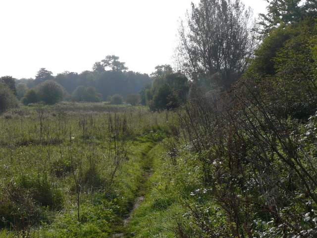
There were a few parking places (plus a police warning about car theft!) on the other side of the bridge, so this might make an alternative start for this walk. I turned left on a drive heading to a cottage. This was part of the Chess Valley Walk (the first part of the route since Chenies that wasn't new to me), but I left it immediately before the cottage by turning right. This path (again new to me) led uphill through a huge meadow, following a fence with the large white house of Goldingtons on top of the slope just to my left. At the top of the slope, I crossed a drive and went straight on, soon arriving on a lane in Sarratt Church End opposite the cruciform village church.
The path heading back north on the other side of the Chess

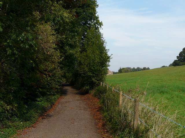
The path up to Sarratt Church End

Looking back across the Chess Valley, from the path to Sarratt Church End
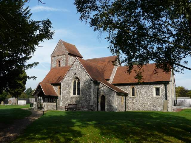
Sarratt Church