Pete's Walks - Chenies, Chipperfield Common, Ley Hill (page 4 of 5)
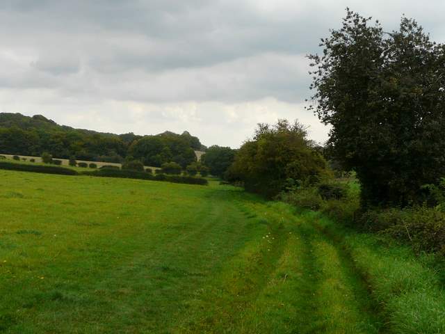
The bridleway eventually reached Flounden (sic) End Farm, on the southern edge of Ley Hill. I turned right along the road towards the centre of the village, but after a fairly short distance turned left at a road junction (once again venturing into what was new territory for me). I then went half right on a footpath that crossed a fairway of the golf course here, heading to a marker post on the far side. The path then went past two or three teeing areas of the golf course, then entered a wood. On the far side of the wood, I crossed a lane and continued westwards on a bridleway along a farm drive. The bridleway carried on briefly alongside a right-hand hedge, then ran between fences between small enclosures to reach the edge of Cowcroft Wood. As I turned left at the second of two junctions just a few yards apart, a lady asked how she and her family should get to the pub in Ley Hill. I looked on the map and told here to take the path I'd just come down, then turn left into Ley Hill. For some reason, she chose not to do this, and went in the opposite direction, planning to turn right beyond a church they'd passed earlier. It was a longer route and much more complicated - I've got 'temporarily misplaced' in that area myself before now. Oh well, it was their choice. Anyway, I continued on a bridleway along the south-eastern side of Cowcroft Wood, before turning right on a path across some park land (an area of grassland dotted with mature trees) - a farm over to the left is named White End Park Farm, so presumably this was the park around a former house called White End or White End Park.
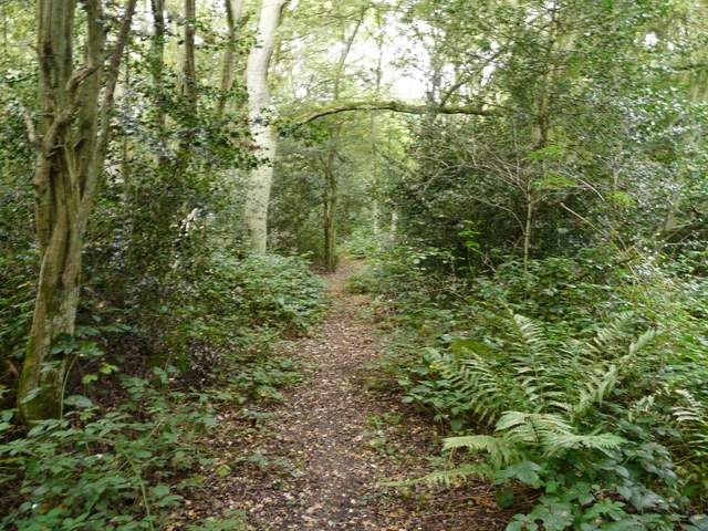
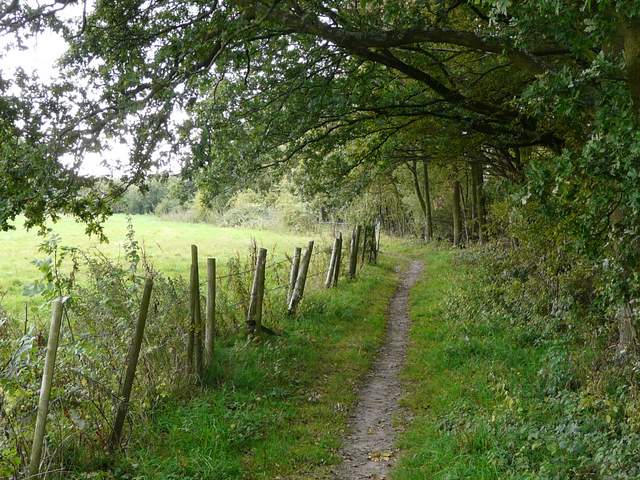
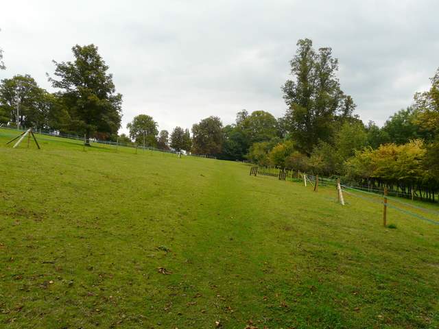
The path across the golf course at Ley Hill
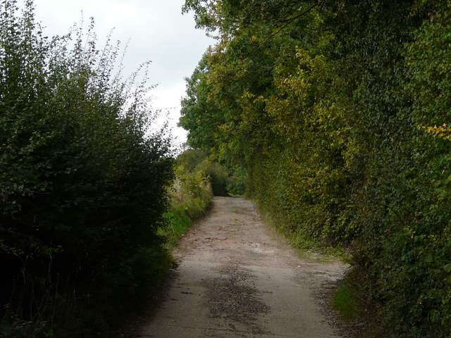
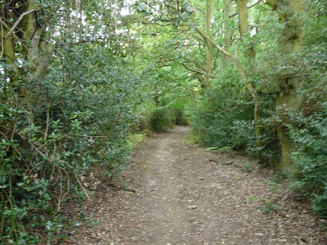
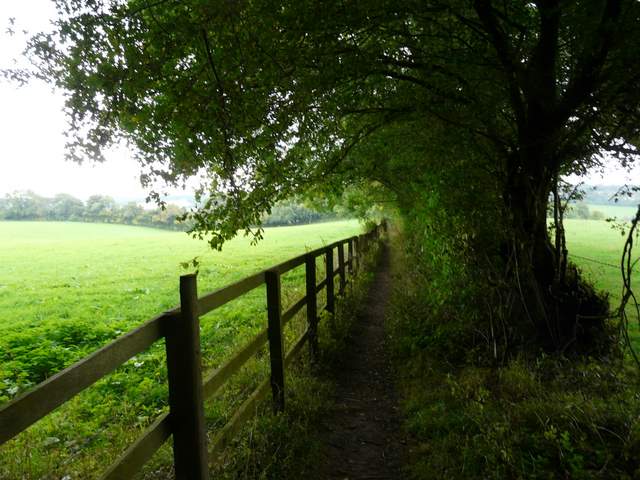
The bridleway to Cowcroft Wood
The bridleway to Cowcroft Wood
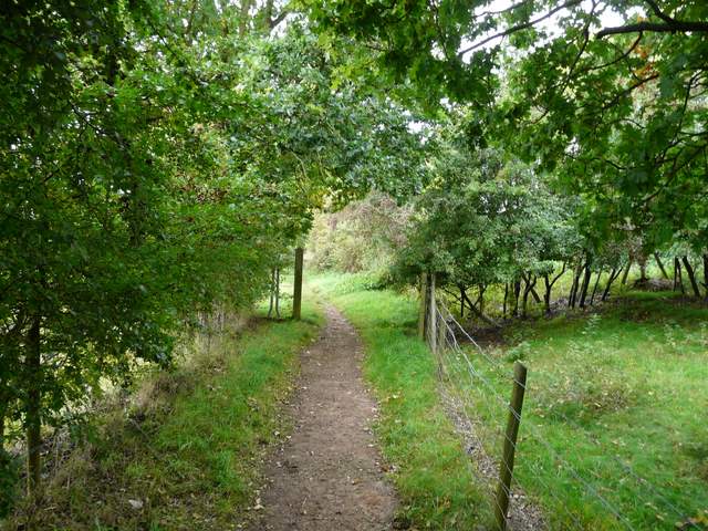
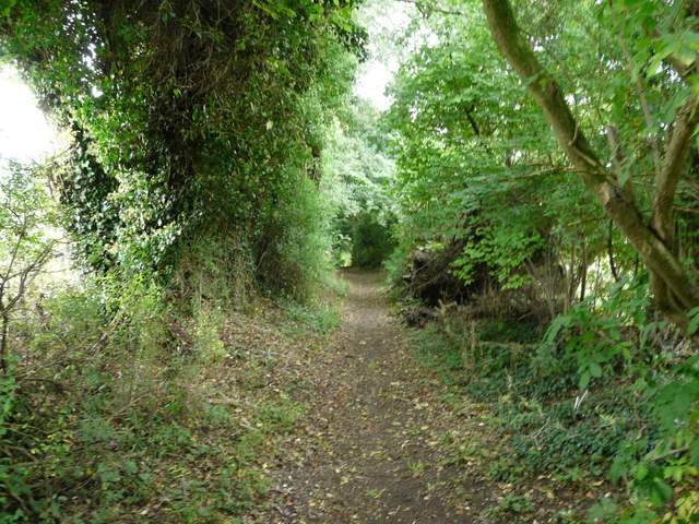
The bridleway beside Cowcroft Wood
The bridleway beside Cowcroft Wood
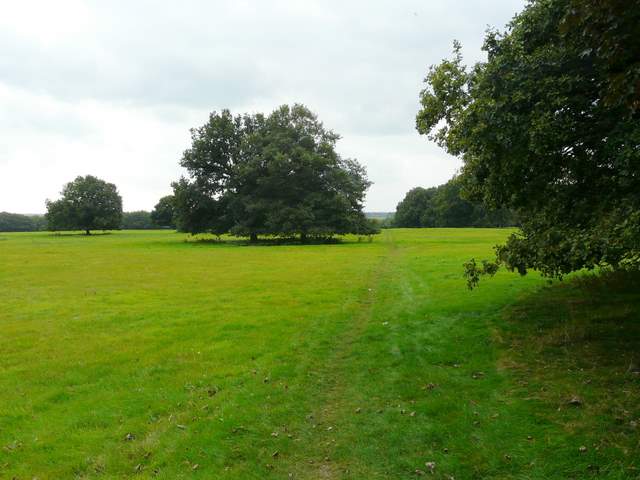
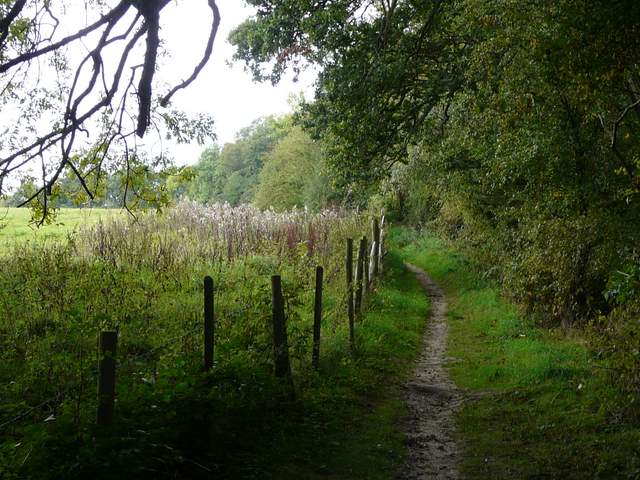
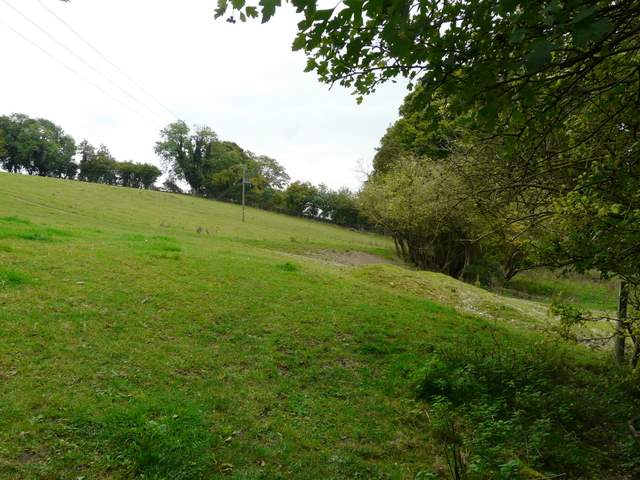
The path across the park land at White End Park (I presume)
On the far side of the park land, I turned right on to Green Lane, a wide track between mature hedgerows. After a few yards I turned left, onto another bridleway that would gradually go down hill back into the Chess Valley. Partway along here I stopped to eat my packed lunch, perching rather uncomfortably on an exposed tree root. Just before the bridleway reached a road near Broadwater Bridge (the road from Chesham to Chenies that I'd driven on earlier), I turned left on a footpath. I was now on the Chess Valley Walk, which I'd generally be following as far as Chenies Bottom (I just missed out the diversion it takes to go through Latimer).
Green Lane, west of White End Park Farm
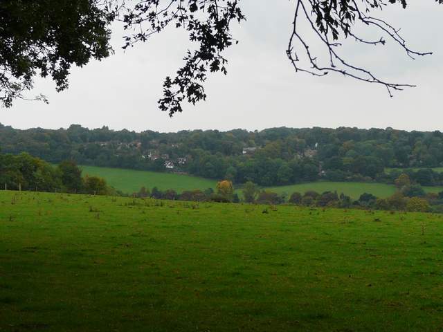
Looking across the Chess Valley towards Chesham Bois, from where I turned right from Green Lane
Start of the bridleway going south from Green Lane to the Chess Valley
The bridleway going south to the Chess Valley (at Broadwater Bridge)
The path ran along the bottom of an empty pasture that sloped up to my left, continuing through a long thin enclosure with a few small horse jumps to reach the hamlet of Blackwell. I followed a lane left for a few yards before turning right on a track that led past Blackwell Farm. The path then continued south-eastwards along the valley bottom, following a hedgerow through three empty pastures.
The start of the path going southeast along the Chess Valley from near Broadwater Bridge
The same path, near Blackwell hall
The path from Blackwell Farm, along the Chess Valley