Pete's Walks - Hudnall and Potten End (page 1 of 3)
If you are considering walking this route yourself, please see my disclaimer. You may also like to see these notes about the maps and GPX files.
I did this circular walk of about 6.3 miles on Saturday, 8th October, 2011. This was roughly a repeat of the 'Potten End and Little Gaddesden' walk that I did in January On that occasion, it turned out that the lane to the car park at Hudnall was closed, so I had to change my plans and started the walk at Potten End instead. On this walk, I managed to start at the car park at Hudnall, but again had to alter my plans, this time to avoid a very lengthy section through ploughed fields where there was no sign of a path. So after two attempts, I still haven't managed the original route that I planned! This particular variation of the route is marked Alternative 2 on the map (it's about the same length as my planned route, and probably just as enjoyable).
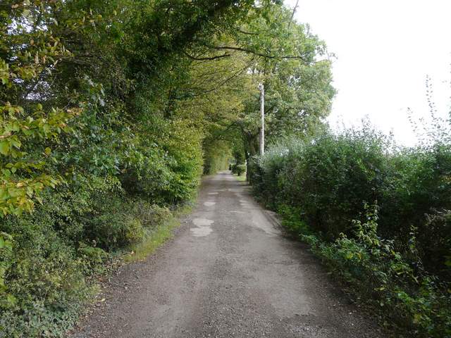
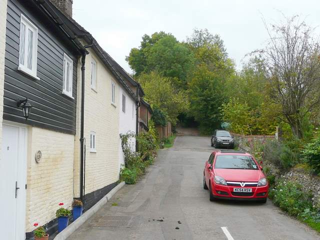
It was just past 2pm as I started walking from the car park at Hudnall. I hadn't been sleeping well this week, so I decided I'd have a lie in on this Saturday morning, relax about the house for a while and then just go for a walk in the afternoon. It was a grey but dry afternoon, quite chilly in the wind and a complete contrast to the 26C and blue skies of last Saturday! From the car park I continued along the lane, heading southeast with the Gade Valley to my left. there were various large detached properties either side of the lane, some obviously quite old. After about half a mile the intriguing name 'Covetous Corner' is marked on the OS map, and this turned out to be an old cottage on the left of the lane.
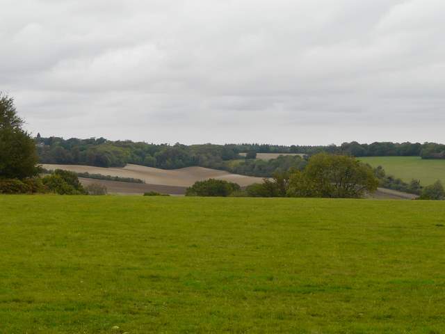
the view from the car park at Hudnall, looking across the Gade valley towards Studham
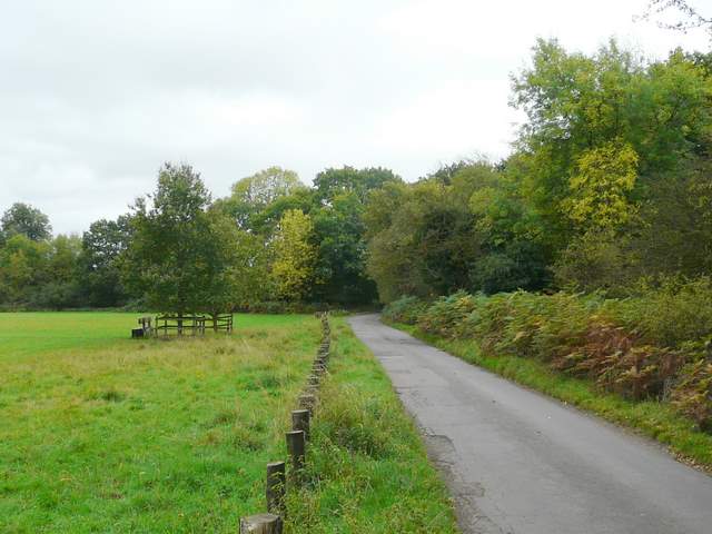
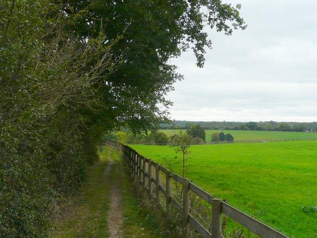
The lane continuing south-eastwards from the car park
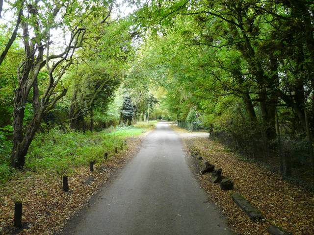
The lane continuing south-eastwards
The lane continuing south-eastwards
The lane continuing south-eastwards
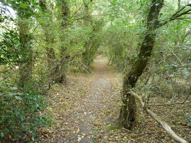
It was near Covetous Corner that I intended to take a footpath going right (a bit of the Hertfordshire Way) and then continue along the bottom of the long valley down to my right. However, the huge ploughed field here showed no sign of a path, and I guessed it would be the same in the valley bottom (I was right, there was no sign of the path at the other end when I got to Nettleden). The field had been harrowed, so it wouldn't have been as bad as walking through large furrows of unbroken earth, but even so it didn't take my fancy and so I decided to continue along the lane and take another way to Nettleden instead. the lane had now deteriorated to a track, and continued like that between hedgerows for a while, before becoming properly surfaced again just before I reached St Margaret's Farm.
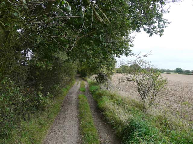
The lane has now deteriorated to a track, just beyond Covetous Corner
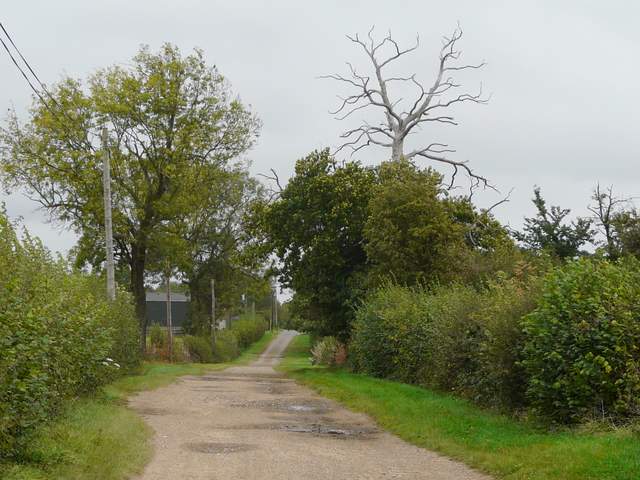
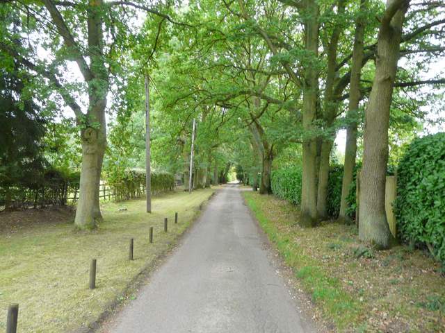
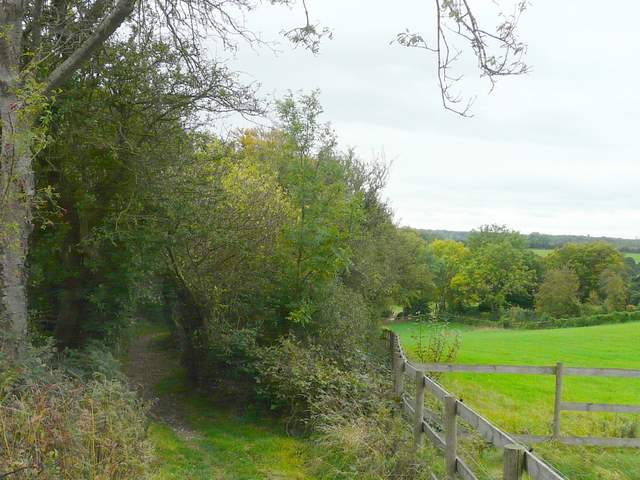
The lane, nearing towards St Margaret's Farm
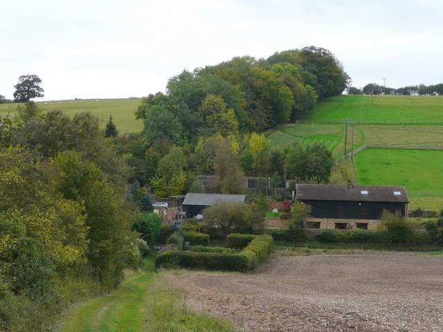
Beyond St Margaret's Farm, the lane is surfaced again. The Buddhist monastery is behind the hedge on the right
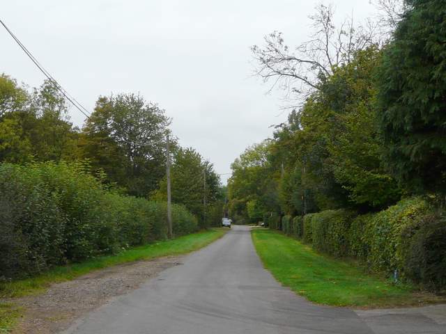
A little further on I passed the grounds of a Buddhist monastery on my right, and then I took a path on the right, initially along the driveway of a house then continuing between trees with the grounds of the monastery again on my right. Further on the path continued between a hedge and a right-hand fence, soon dropping steadily into a valley. At the bottom of the valley I reached a road on the edge of Nettleden (where my planned route came in from the right).
The path from St Margaret's to Nettleden, as it passes the monastery grounds on the right.
The path from St Margaret's to Nettleden
The path from St Margaret's to Nettleden
Approaching Nettleden. The line of trees going up the far side of the valley show the position of Roman Road.
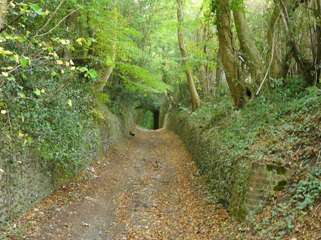
I turned left into the village, but almost immediately turned right, heading uphill and straight back out of Nettleden along 'Roman Road' (a "Roman Farm' is marked on the map nearby). Roman Road, also apparently known as Spooky Lane, soon passed under Devil's Bridge, built to carry a former drive to Ashridge House over the road, which is here in a deep stone-lined cutting (a footpath goes parallel along the right of the first part of the road, but I stuck to the bridleway along the road).
The start of Roman Road in Nettleden
Roman Road
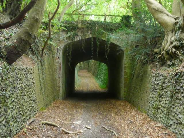
Roman Road, passing under Devil's Bridge