Pete's Walks - Wigginton, Wendover Woods and St Leonards (page 5 of 5)
Eventually the path almost reached the northwest edge of the wood, and then came to a path junction where I turned right. I was briefly on the route of the Chiltern Way, but soon left it by keeping left at a fork in the path. There was something odd going on in this section of Drayton Wood, as there were pictures of fairies attached to trees and even figures of fairies dangling from branches or placed on waymark posts! The path ended at a corner of the wood, where I turned left along a bridleway along an edge of the wood, before turning right onto another path. This ran for some distance just inside the edge of the wood, with green fields just a few feet to my right (the map curiously shows the path to be some distance inside the wood). After about half a mile the path turned left along another edge of the wood (this again was an area where the paths are inconsistent with those shown on the map!) and there were now paddocks and then stables on my right.
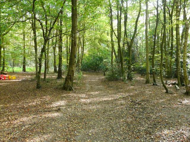
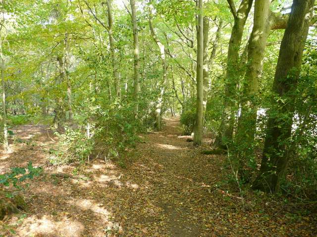
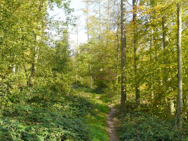
Footpath through Drayton Wood
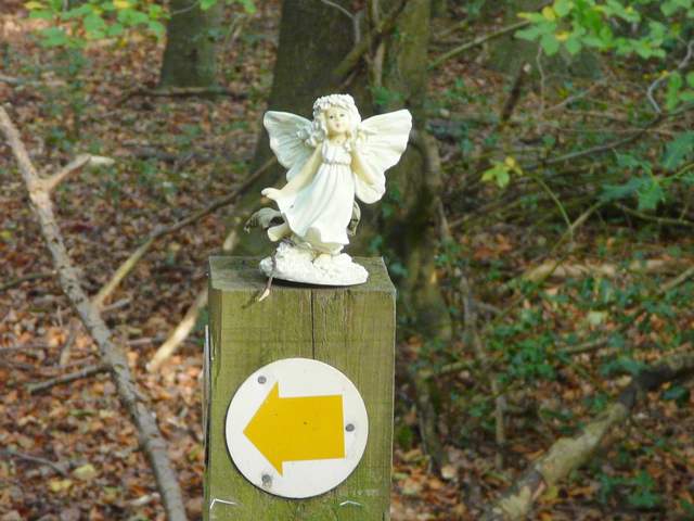
One of numerous fairies that inhabit this part of Drayton Wood!
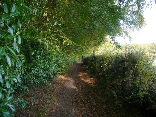
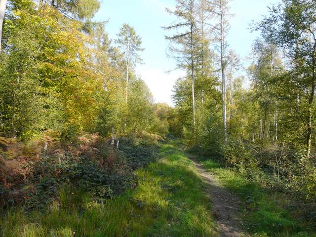
Bridleway going north beside Drayton Wood
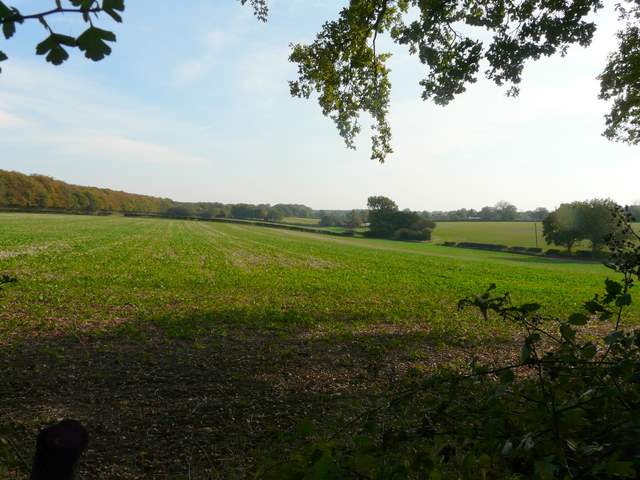
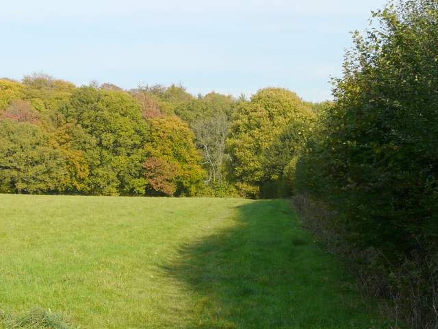
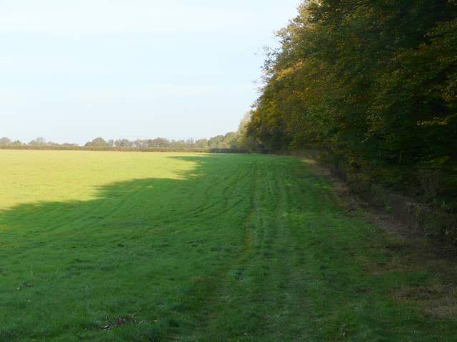
Looking right (east) from the bridleway - the route continues just inside the woods top left of the photo
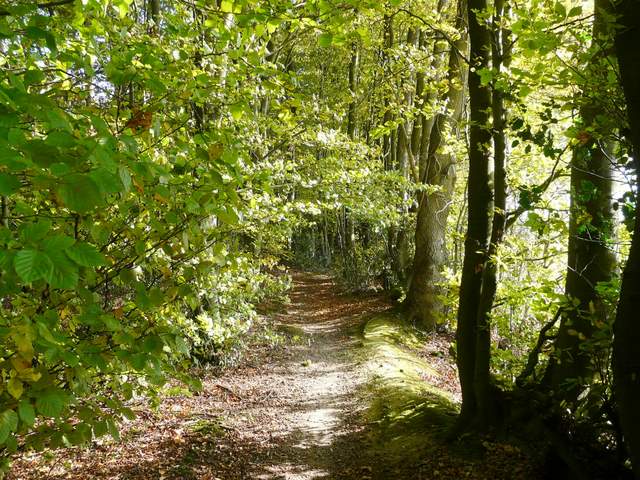
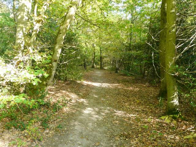
The path just inside the southern edge of Drayton Wood
The path just inside the southern edge of Drayton Wood
The path just inside the southern edge of Drayton Wood
The path ended on Shire Lane next to a house called Montana (where I always smile and think to myself "I've walked further than I thought!"). Here I crossed the state line, sorry, county boundary, from Buckinghamshire into Hertfordshire. A path continued on the other side along a hedge on the right - there were show jumping fences in the fields either side and even some actually in the hedge, so I always listen out for the sound of galloping hooves. I saw a Buzzard here, I think it was the only one I saw today. The path then entered yet another attractive wood, this one called High Scrubs (I've just remembered there's a wood of the same name between Dunsmore and Coombe Hill), where the path continued on north-eastwards. Across another lane, the path carried on through Roundhill Wood.
The path to High Scrubs from Shire Lane
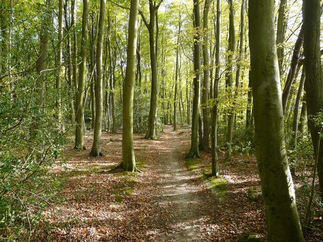
The path northeast through High Scrubs
The path northeast through High Scrubs
The path northeast through Roundhill Wood
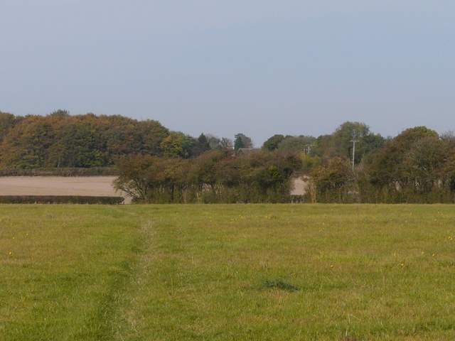
When the path reached the edge of the wood, I joined a path running along the edge of the field next to the wood (another path ran just inside the wood. At the end of this grassy field, I turned half-left to cross another large grassy field. The path then cut through a small corner of another grassy field, before continuing across a large field of stubble (I spotted another of my favourite wildflowers here, some lovely Field Pansies). Finally the path went half-right through a long pasture where some young black cattle eyed me curiously, before I turned left along a road into Wigginton and the recreation ground where I'd parked my car.
Footpath continuing northeast beside Roundhill Wood
Footpath north from Roundhill Wood to Wigginton
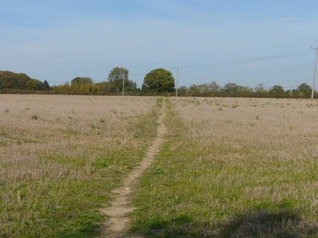
Footpath north from Roundhill Wood to Wigginton
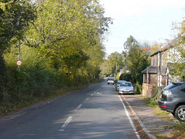
The road through Wigginton
This was a pleasant walk, and made a decent change from the one I usually do in this area (see my Wendover Woods and Wigginton walk, which is also Walk 5 of my Chiltern Chain Walk). The route was easier to follow in this direction, but due to the several mismatches between the actual paths and what the map shows, I would still hesitate to recommend it.