Pete's Walks - Southeast from Cadmore End (page 3 of 5)
At the top of the slope the path turned right. I ignored a path going left to Beacon Farm, and continued on along the top of the slope. The path ran between bushes, then turned left to go round the corner of a wood, continuing right between the wood and a fence on my left. On reaching a bridleway, I turned right, descending quite steeply through a plantation of Yew trees to reach a point near Bluey's Farm where my originally planned route (the continuation of the path along the east edge of Moor Wood) came in from the left. Between Bluey's Wood and Shillingridge Wood the OS map only shows a path, but in fact there was a well-marked and clear bridleway on the other side of the hedge and I chose to use that instead.
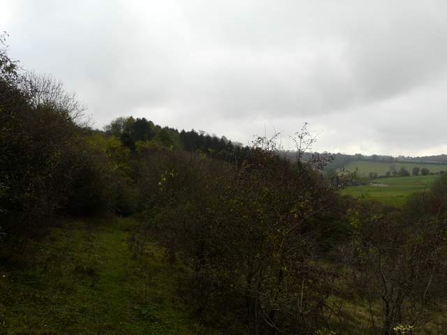
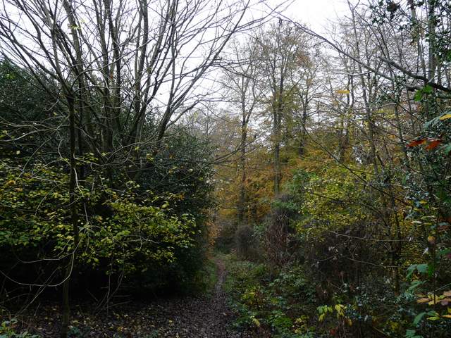
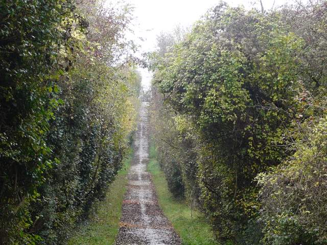
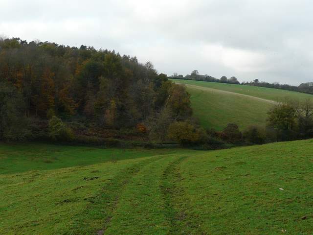
The path along the top of the steep hillside
The path along the top of the steep hillside
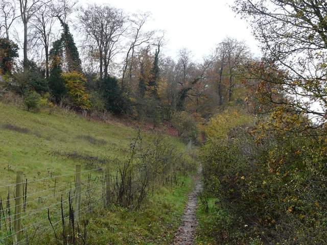
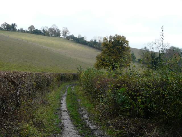
The bridleway to Bluey's Farm
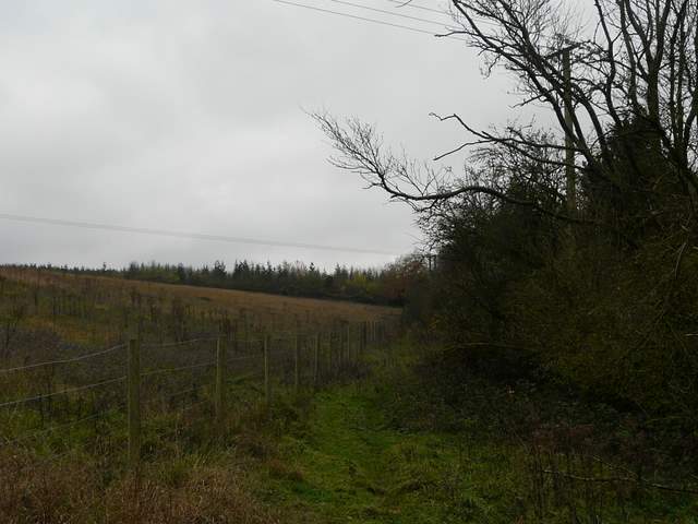
Bridleway between Bluey's Farm and Shillingridge Wood
I continued south-eastwards on a footpath through Shillingridge Wood. On the far side, I went a few yards left then turned right and continued down a track between hedges (a fingerpost confirmed that this was a public right of way) which soon became the tarmac Mundaydean Lane . After a few hundred yards I turned right, on a straight and surfaced bridleway that went quite steeply uphill - most unusually, part of it was surfaced with narrow beams of concrete.
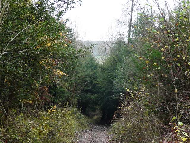
Shillingridge Wood
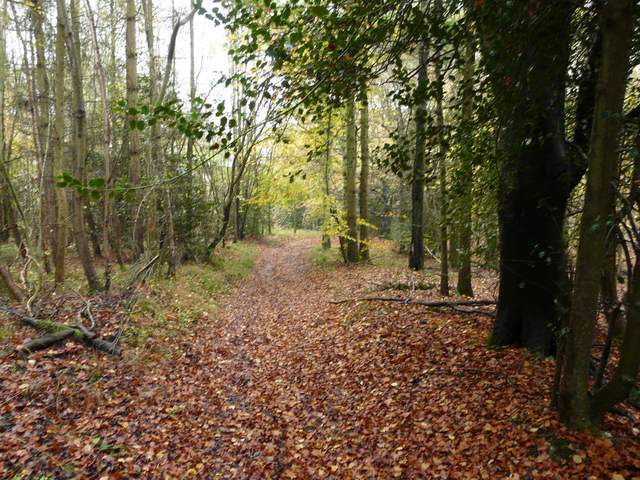
Shillingridge Wood
The public right of way that is the short northern continuation of Mundaydean Lane
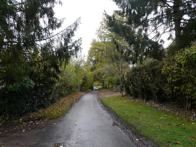
Mundaydean Lane
The bridleway from Mundaydean Lane, going west to Frieth Road
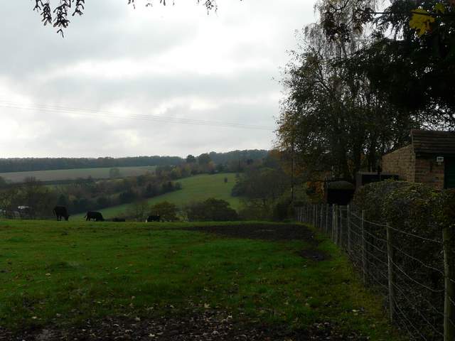
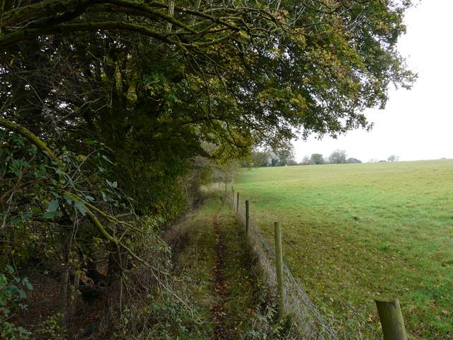
At the top of the hill, I turned left along Frieth Road (the map doesn't make clear to which village or town the houses here belong, but I was in Great Marlow parish and Bovingdon Green was a little further south along the road). Just before the road curved right, I took a path on the right, following the right hedgerow of a cattle pasture that dropped down towards a valley - some black cattle eyed me curiously as I went by. On eventually descending to the corner of the pasture, the path turned right to run for some distance between a hedge and a fence. I then had to go over a stile, right next to an also curious horse, and followed a grooved track partway down through a paddock or pasture, before turning left to a stile and a lane.
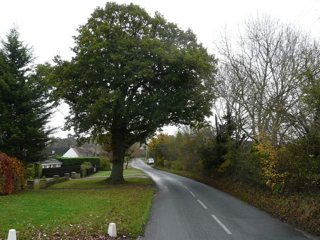
Frieth Road
The start of the path from Frieth Road
The same path continuing northwest
The path continuing through a large horse field to reach a lane
I turned left along the lane, passing a small wood on my right. The lane went gently uphill, and near the top of the hill I turned right onto a footpath. This crossed an arable field, which I think may have been left fallow this year, judging by the amount of grass and Common Field Speedwell growing amongst the stubble. Again, it's a little difficult to describe where exactly I was at this point, but the path took me to another lane by a house name 'Arbon' on the OS map (possibly in the parish of Medmenham now).
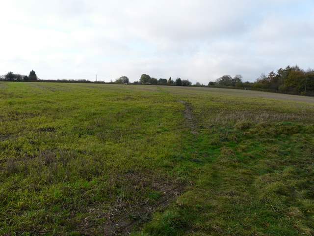
The path from one lane to another (heading to a house named Arbon on the OS map)