Pete's Walks - Maidensgrove Common and Henley (page 1 of 5)
If you are considering walking this route yourself, please see my disclaimer. You may also like to see these notes about the maps and GPX files.
I did this roughly 14 mile circular walk on Monday, 28th November 2011. This was intended to be a repeat of a walk I did in March this year, but in the opposite (anti-clockwise) direction. However, I got a bit confused at one point and started following the route of another walk instead! This unplanned 'diversion' added almost a mile to the length of the walk, but certainly didn't distract from the pleasure of the walk as it took me to the attractive hamlet of Shepherd's Green. I have shown it as 'alternative 1' on the map.
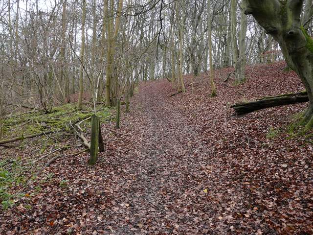
I parked beside the lane that runs across Maidensgrove Common (Grid Reference SU 717886) - I'd had a slightly late start and it was about 10.20 as I set off. I began by going south along a public byway that started at a bend where lane turns right along the edge of the common. The byway was track between hedges, soon heading downhill and entering the woods of the Warburg Nature Reserve. At the bottom of a valley I crossed another byway, and continued ahead through the woods, the byway now curving to the southwest as it went up and over a small ridge. I went straight on at another byway junction, now going uphill to exit the wood and the nature reserve.
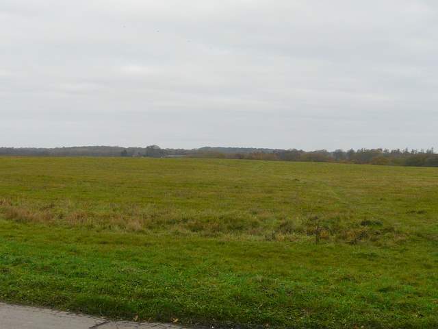
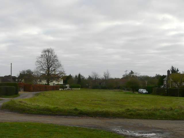
Maidensgrove Common, looking towards Russell's Water Common
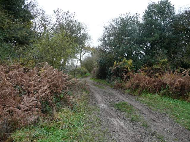
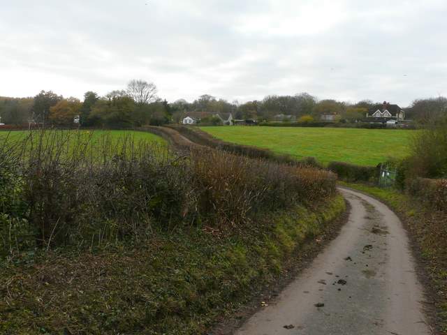
The start of the public byway from Maidensgrove Common to the Warburg Nature Reserve
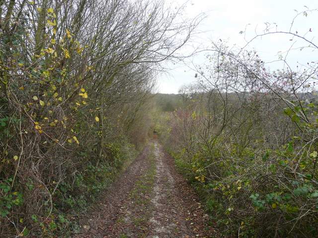
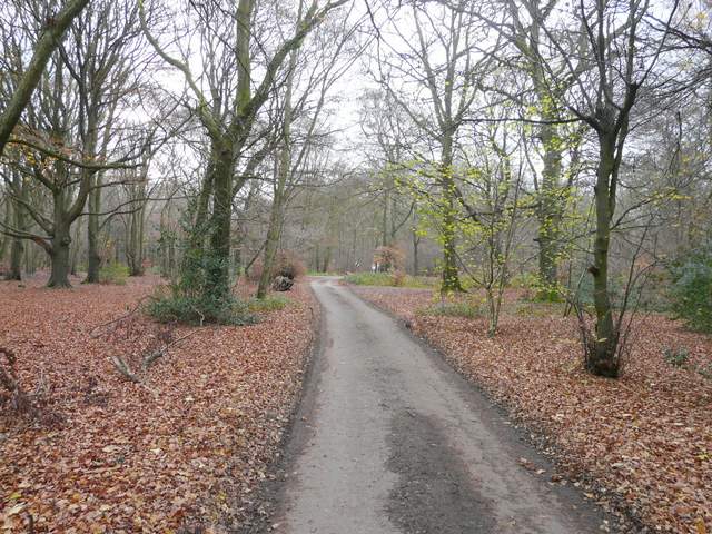
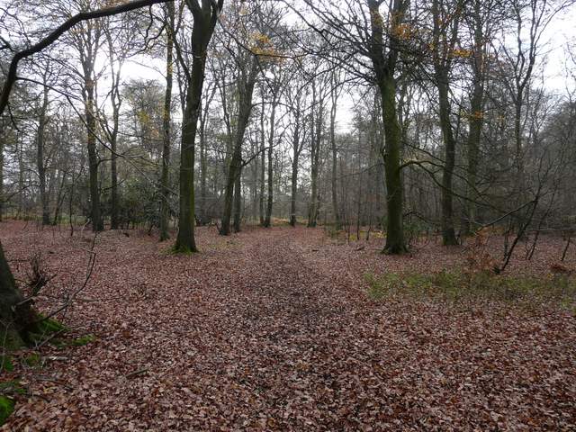
The byway to Warburg Nature Reserve
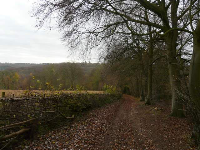
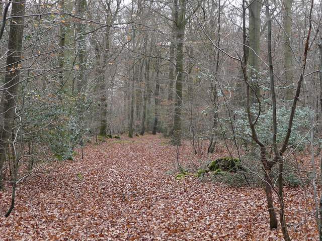
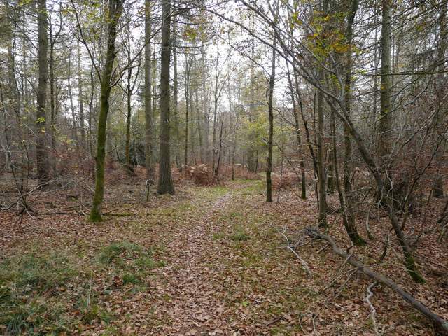
The byway just after it entered the Warburg Nature Reserve
The byway continuing just after crossing another byway in the nature reserve
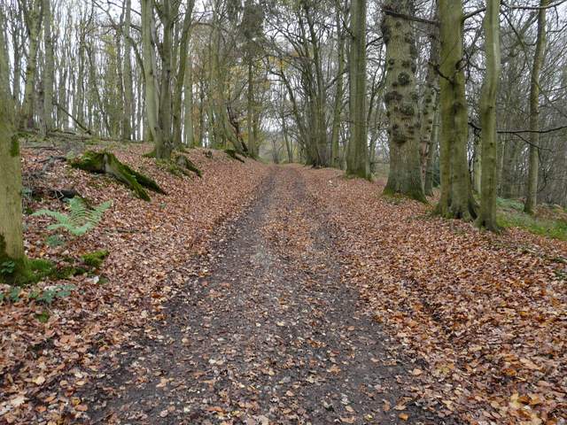
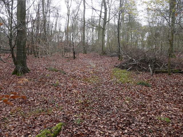
The by way continuing through the nature reserve, just after a junction with another byway
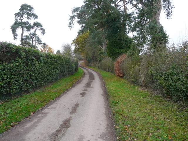
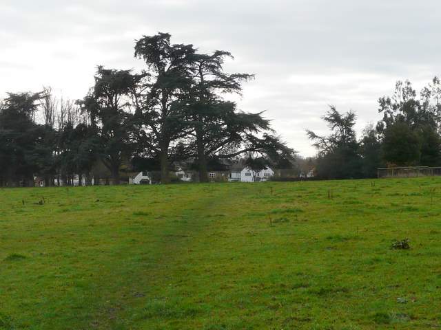
The byway continued on as a track, now level, and joined the end of a drive close to the rather grand Soundess House, over to my left. A short distance along the drive a footpath forked half left. This crossed a huge pasture that was obviously part of the park around Soundess House, as it was dotted with small stands of trees here and there. As I was about halfway across the pasture, I saw a Red Kite being 'mobbed' by a couple of crows near the edge of the wood - curiously, once it had escaped them it flew several hundred yards straight towards me and passed directly over my head, about 30 feet or so above me. It was yet another example of how these magnificent birds are so much less wary of humans than other birds of prey. On the far side of the pasture I reached the village of Crocker End. I followed a lane across the green here and continued along it, bearing right at a junction, until after a quarter of a mile or so it brought me to the hamlet of Catslip. A little further on the lane ended at a main road, the A4130 (which I'd see again when I reached Henley).
The drive from Soundess House to Crocker End
The footpath to Crocker End
Crocker End Green
The lane between Crocker End and Catslip
The lane just beyond Catslip, approaching the main road (A4130)
Across the road a bridleway headed into Lowercommon Wood, soon turning right and then left, before reaching a path junction in a small dip. I continued ahead on a footpath, turning left at its end to reach another large house called Merrimoles.
The path in Lowercommon Wood, just beyond the A4130
Footpath in Lowercommon Wood
Footpath in Lowercommon Wood
Footpath in Lowercommon Wood, heading south towards Merrimoles